Oxshott
Settlement in Surrey Elmbridge
England
Oxshott

Oxshott is a village located in the county of Surrey, England. Situated approximately 20 miles southwest of central London, it falls within the administrative district of Elmbridge. The village is nestled amidst the picturesque Surrey Hills, an Area of Outstanding Natural Beauty, and benefits from its close proximity to the charming countryside.
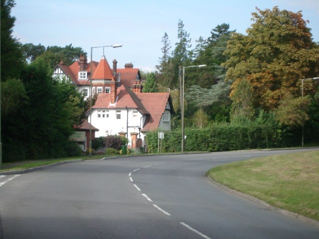
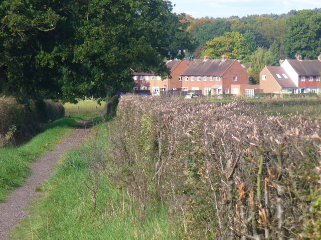
Oxshott is known for its affluent residential area, characterized by large, detached houses, often set within extensive grounds. The village boasts a tranquil and leafy environment, attracting many high-net-worth individuals seeking a peaceful retreat from the city. The architecture of the properties varies from traditional Tudor-style homes to modern and contemporary designs.
The village is well-served by amenities, including a selection of shops, boutiques, and convenience stores catering to the daily needs of its residents. Additionally, there are several pubs, restaurants, and cafes offering a range of dining options. The nearby towns of Esher and Cobham provide further choices for shopping and entertainment.
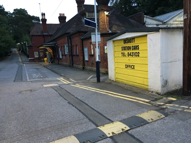
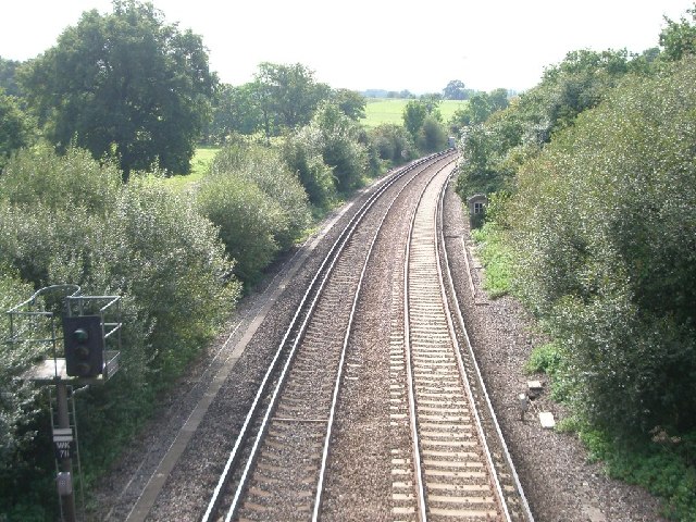
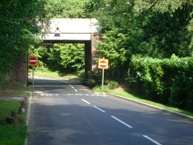
Oxshott is renowned for its excellent educational facilities, with several prestigious independent schools located in the area. The village has good transport links, with Oxshott railway station providing regular services to London Waterloo and other nearby towns.
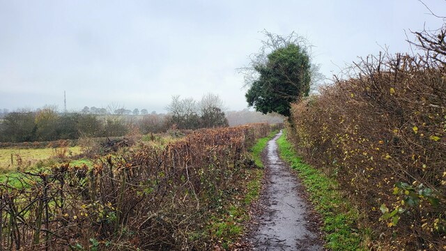
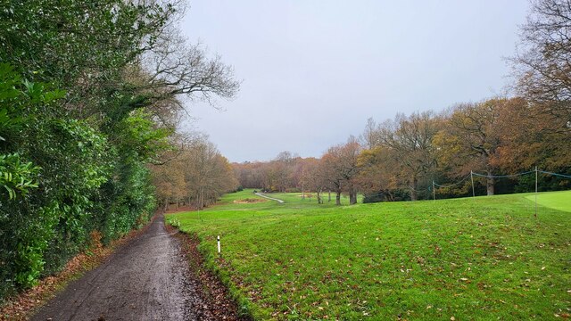
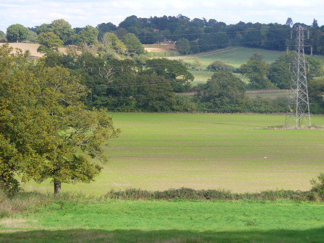
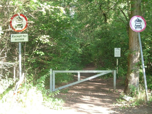
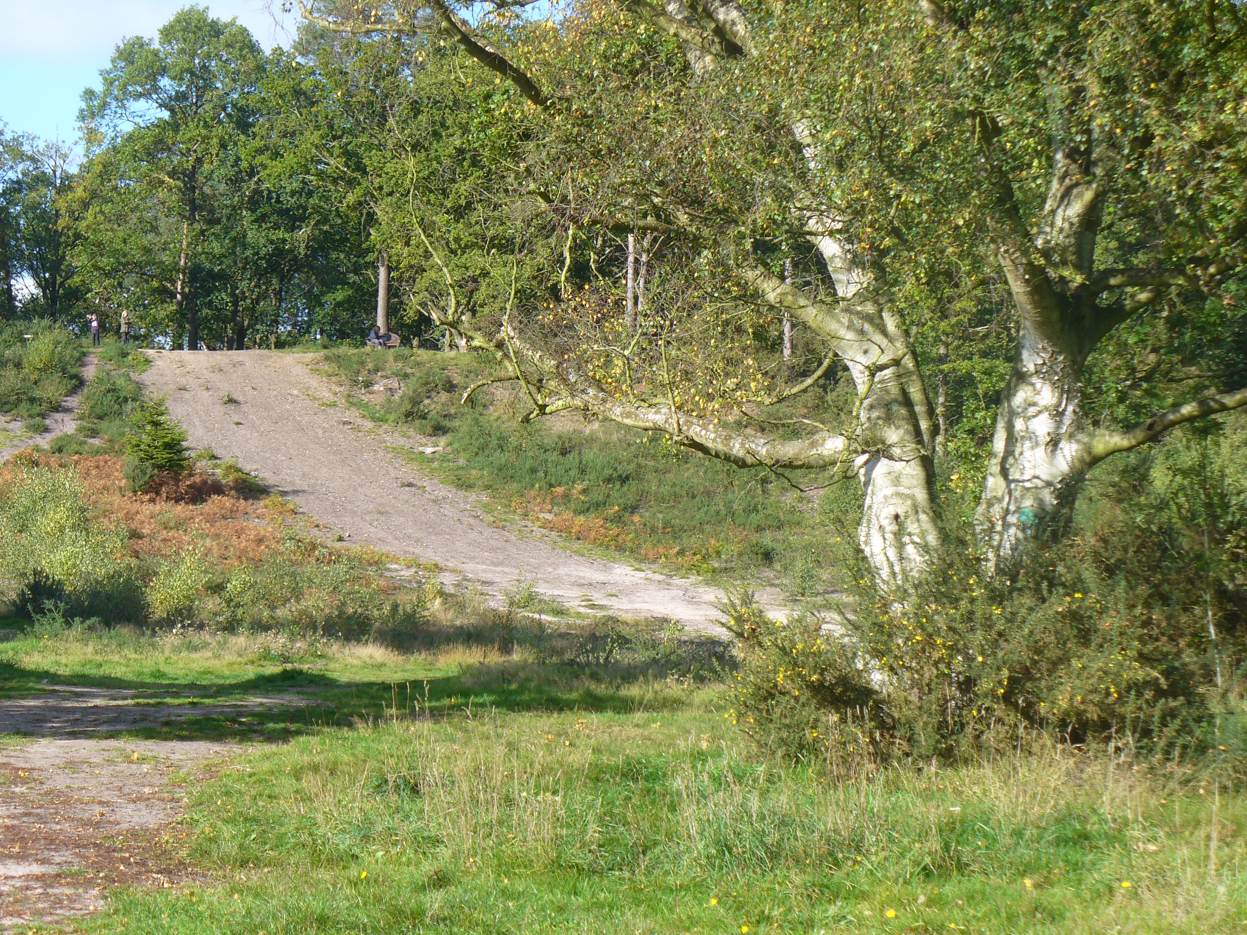
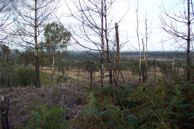
The surrounding natural beauty offers ample opportunities for outdoor activities, such as walking, cycling, and horse riding. Oxshott Heath, a large area of heathland and woodland, is a popular spot for nature enthusiasts and provides a peaceful escape for residents.
Overall, Oxshott offers a desirable living environment, combining the tranquility of the countryside with easy access to urban amenities and excellent educational opportunities.
If you have any feedback on the listing, please let us know in the comments section below.
Oxshott Images
Images are sourced within 2km of 51.33198/-0.354981 or Grid Reference TQ1460. Thanks to Geograph Open Source API. All images are credited.


Oxshott is located at Grid Ref: TQ1460 (Lat: 51.33198, Lng: -0.354981)
Administrative County: Surrey
District: Elmbridge
Police Authority: Surrey
What 3 Words
///raves.price.alive. Near Cobham, Surrey
Nearby Locations
Related Wikis
Oxshott
Oxshott is a suburban village in the borough of Elmbridge in Surrey, England. Oxshott includes hilly acidic heath which is partly wooded (see Esher Commons...
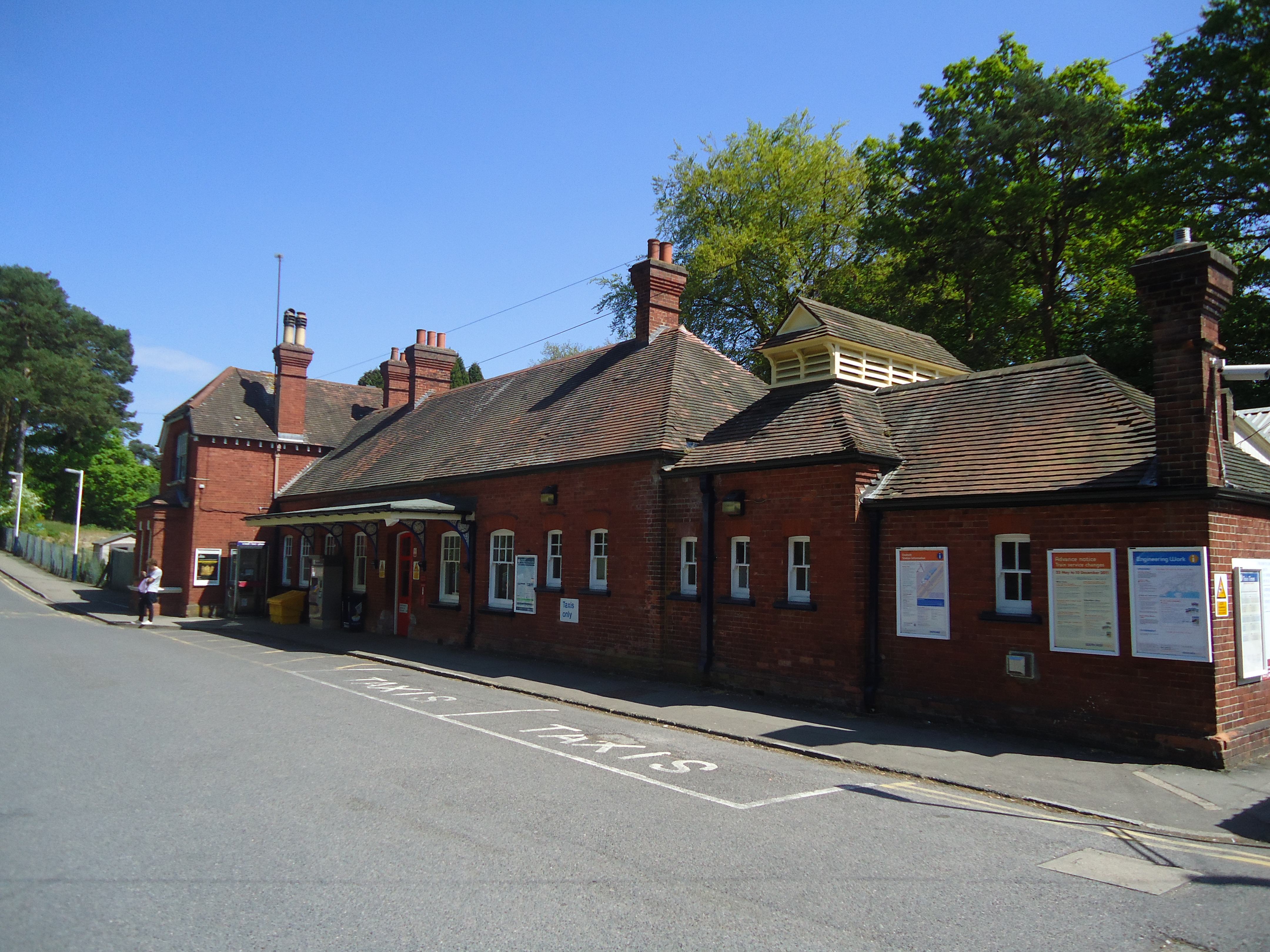
Oxshott railway station
Oxshott railway station serves the village of Oxshott, in Surrey, England. It is 16 miles 79 chains (27.3 km) down the line from London Waterloo. The station...
Colony Bog and Bagshot Heath
Colony Bog and Bagshot Heath is a 1,130.5-hectare (2,794-acre) biological Site of Special Scientific Interest between Camberley and Woking in Surrey, England...
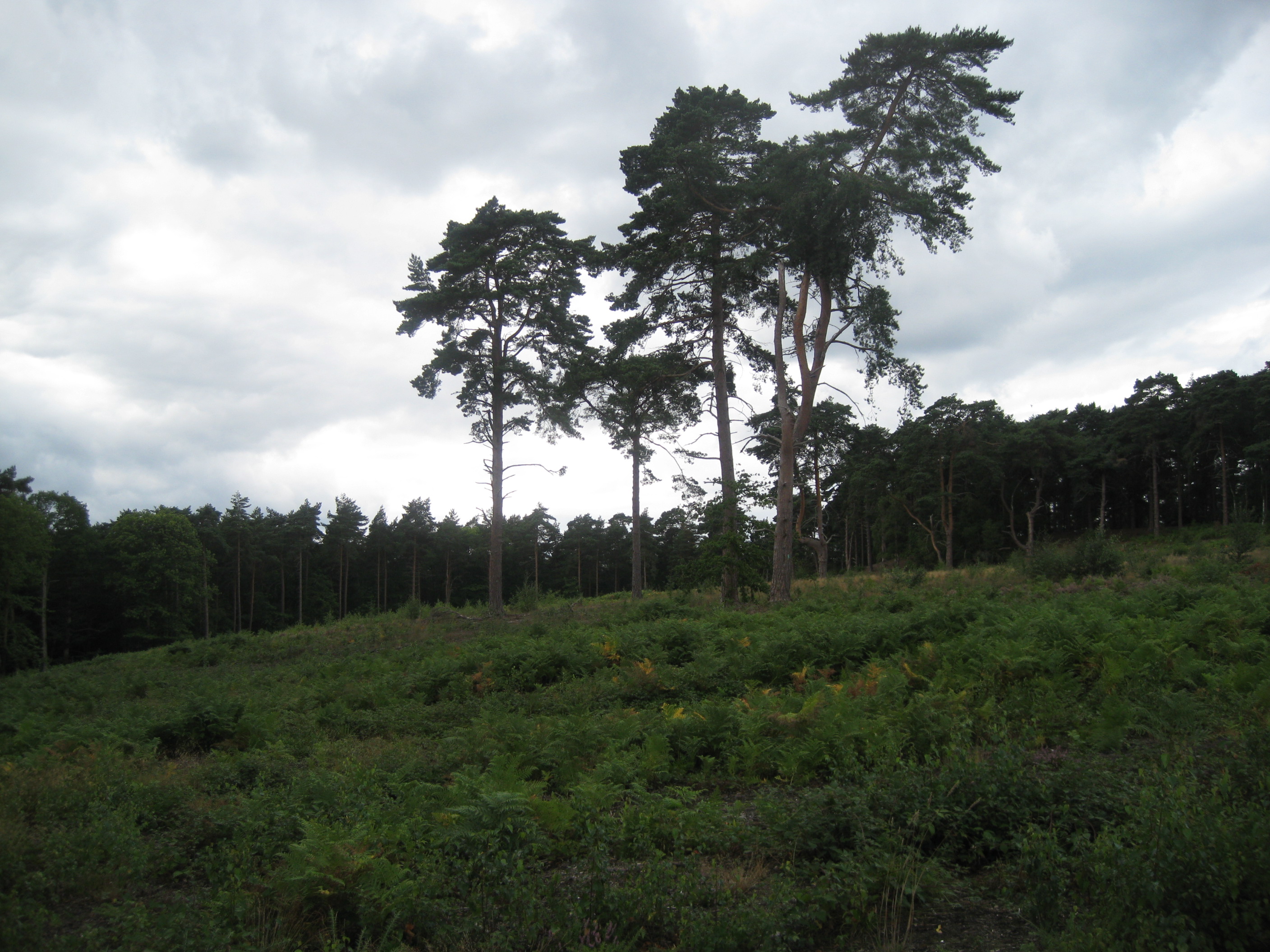
Oxshott Heath and Woods
Oxshott Heath and Woods is an area of woods and heathland in Oxshott, Surrey, England covering approximately 200 acres (81 ha), as an area of common land...
Nearby Amenities
Located within 500m of 51.33198,-0.354981Have you been to Oxshott?
Leave your review of Oxshott below (or comments, questions and feedback).