Willoughby Gorse
Downs, Moorland in Lincolnshire North Kesteven
England
Willoughby Gorse
Willoughby Gorse is a picturesque village located in the county of Lincolnshire, England. Nestled between the tranquil Downs and Moorland, it offers a stunning natural setting that attracts both locals and tourists alike. The village is situated on the eastern edge of the Lincolnshire Wolds, an Area of Outstanding Natural Beauty known for its rolling hills and panoramic views.
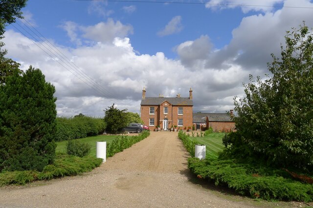
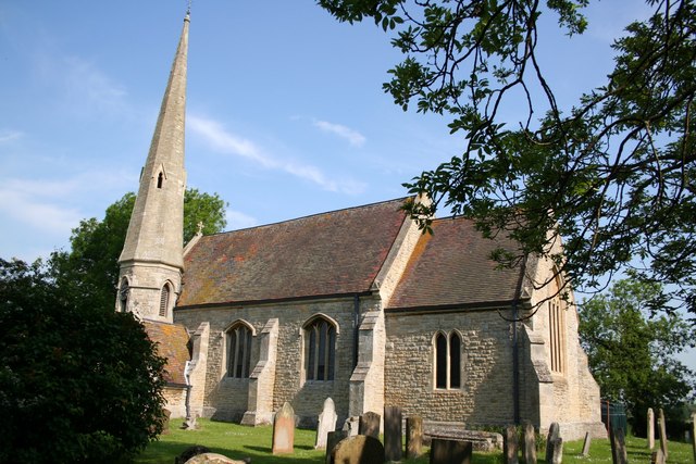
With a population of around 500 residents, Willoughby Gorse exudes a peaceful and close-knit community feel. The village is dotted with charming cottages, many of which date back to the 18th and 19th centuries, adding to its timeless appeal. Its picturesque church, St. Peter's, is a prominent feature and is known for its beautiful stained glass windows.
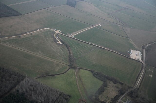
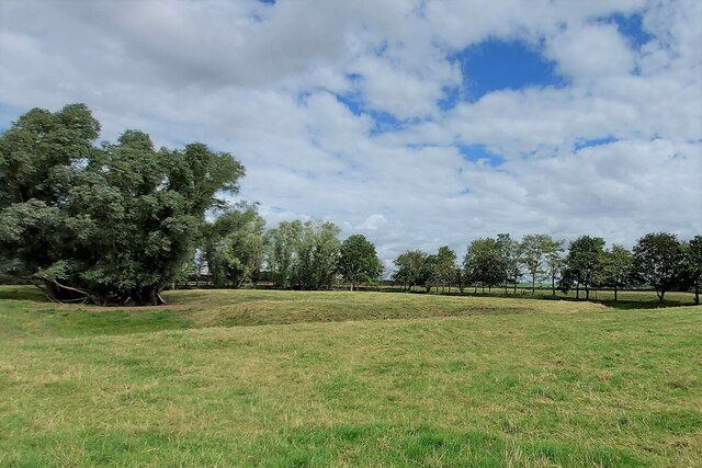
The Downs surrounding Willoughby Gorse offer a haven for nature enthusiasts and walkers, with numerous trails and footpaths crisscrossing the landscape. The undulating terrain is perfect for those looking to explore the great outdoors and enjoy breathtaking vistas of the surrounding countryside.
To the west of the village lies the Moorland, a vast expanse of heather-covered moorland that provides a unique habitat for a variety of wildlife. Birdwatchers flock to this area to catch a glimpse of rare species such as the curlew and red grouse.
Despite its rural location, Willoughby Gorse is well-connected to nearby towns and cities. The market town of Louth is just a short drive away, offering a range of amenities including shops, restaurants, and leisure facilities.
In conclusion, Willoughby Gorse is a charming village in Lincolnshire, boasting stunning natural surroundings, a close-knit community, and easy access to the beautiful Downs and Moorland. It is a hidden gem for those seeking a peaceful retreat in the heart of the English countryside.
If you have any feedback on the listing, please let us know in the comments section below.
Willoughby Gorse Images
Images are sourced within 2km of 52.968396/-0.39250331 or Grid Reference TF0842. Thanks to Geograph Open Source API. All images are credited.


Willoughby Gorse is located at Grid Ref: TF0842 (Lat: 52.968396, Lng: -0.39250331)
Administrative County: Lincolnshire
District: North Kesteven
Police Authority: Lincolnshire
What 3 Words
///universally.zones.skip. Near Sleaford, Lincolnshire
Nearby Locations
Related Wikis

Aswarby and Scredington railway station
Aswarby and Scredington railway station was a station close to Scredington, Lincolnshire on the Great Northern Railway Bourne and Sleaford railway. It...
Scredington
Scredington is a village and civil parish in the North Kesteven district of Lincolnshire, England. The population of the civil parish at the 2011 census...

Silk Willoughby
Silk Willoughby is a village and civil parish in the North Kesteven district of Lincolnshire, England. The population of the civil parish at the 2011 census...

Aswarby and Swarby
Aswarby and Swarby is a civil parish in the North Kesteven district of Lincolnshire, England. Aswarby (pronounced locally as "as-r-bee") is the ecclesiastical...

Bass Maltings, Sleaford
The Bass Maltings in Sleaford, England are a large group of eight disused malt houses originally owned by the Bass Brewery of Burton upon Trent. Constructed...

Aswarby
Aswarby () is a village in the North Kesteven district of Lincolnshire, England. It is 3.5 miles (5.6 km) south of Sleaford and 750 yards (690 m) east...

London Road, Sleaford
London Road is a cricket ground in Sleaford, Lincolnshire. It is the home of Sleaford Cricket Club and an occasional venue for Lincolnshire County Cricket...
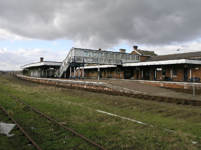
Sleaford railway station
Sleaford railway station serves the town of Sleaford in Lincolnshire, England. It lies on the Peterborough–Lincoln line. The station is 21 miles (34 km...
Nearby Amenities
Located within 500m of 52.968396,-0.39250331Have you been to Willoughby Gorse?
Leave your review of Willoughby Gorse below (or comments, questions and feedback).