West Field
Downs, Moorland in Lincolnshire South Kesteven
England
West Field
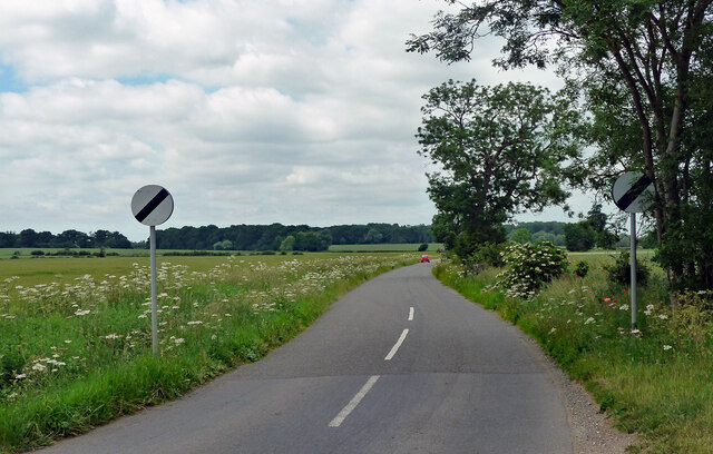
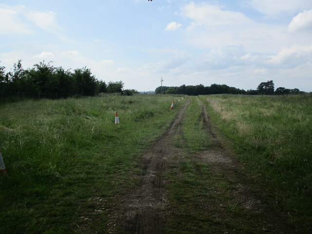
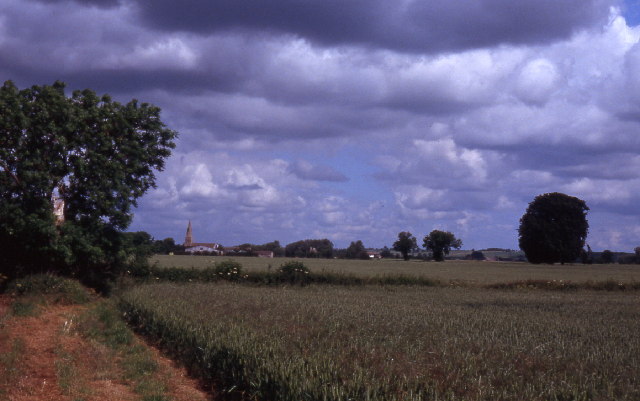
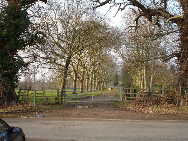
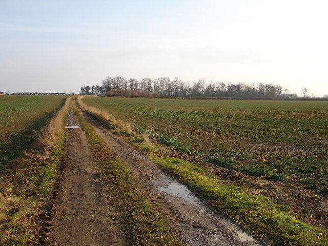
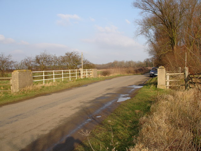
West Field, Lincolnshire is a picturesque region located in the East Midlands of England. Known for its stunning natural beauty, the area is predominantly characterized by its expansive downs and moorland landscapes. With rolling hills, open fields, and an abundance of wildlife, West Field offers a tranquil escape for nature lovers and outdoor enthusiasts.
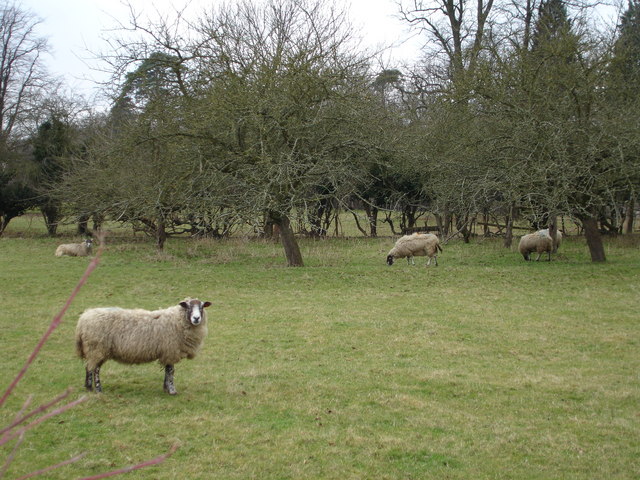
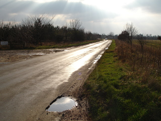
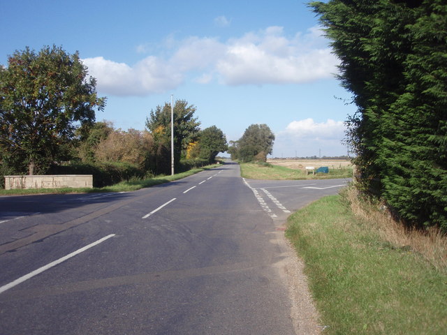
The downs of West Field are characterized by their gently sloping hills and wide-open spaces. These grassy areas are ideal for activities such as walking, hiking, and picnicking, offering breathtaking panoramic views of the surrounding countryside. The downs are also home to a variety of plant and animal species, making it a haven for wildlife enthusiasts and birdwatchers.
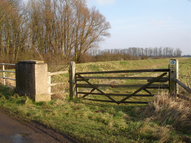
In contrast, the moorland of West Field offers a rugged and wild environment. Covered in heather, gorse, and bracken, the moorland provides a unique and atmospheric landscape. Visitors can explore the winding trails that meander through the moors, immersing themselves in the peacefulness of the surroundings.
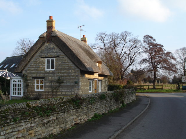
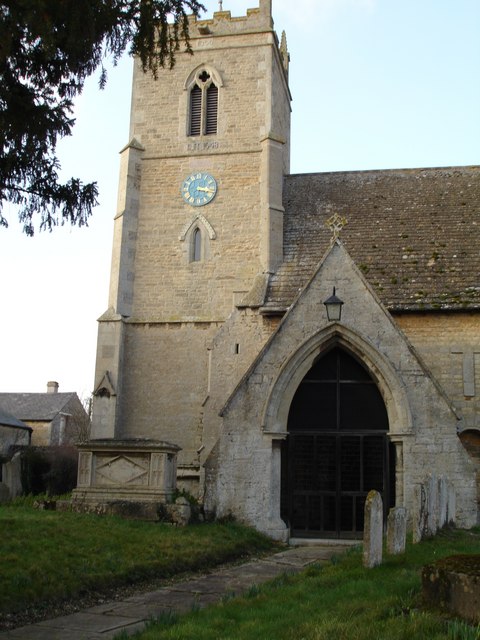
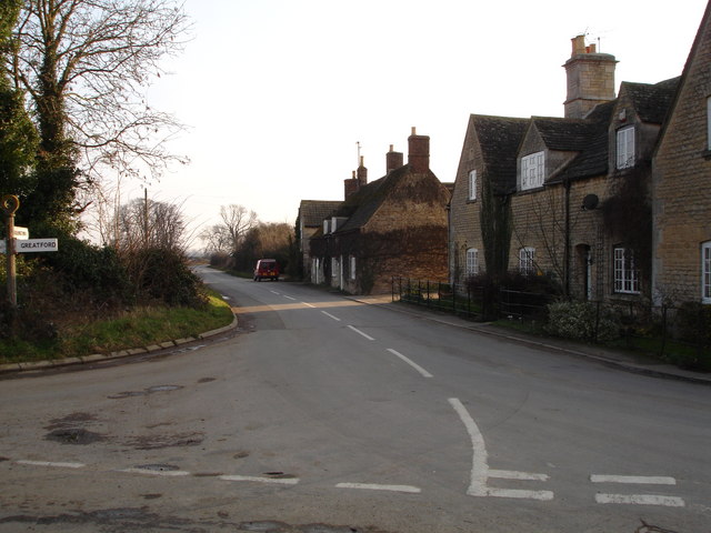
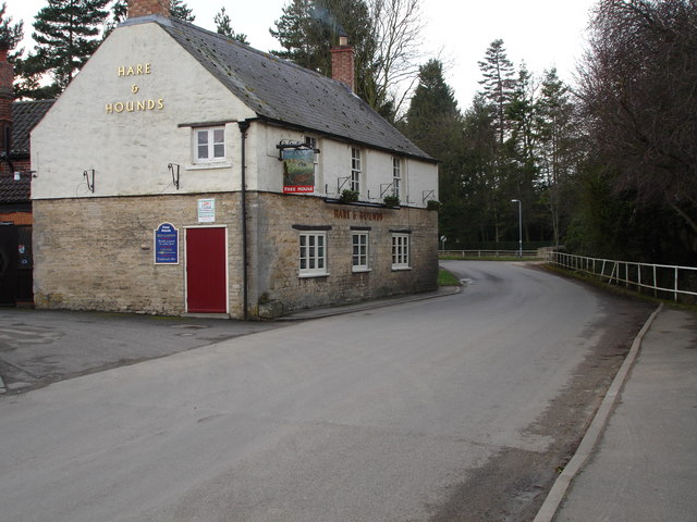
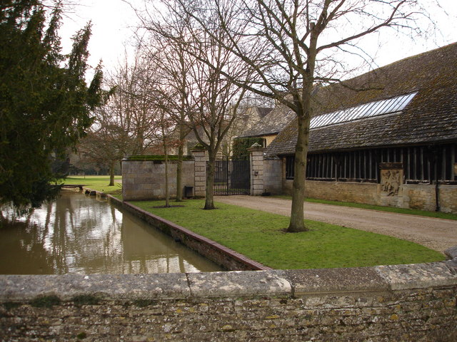
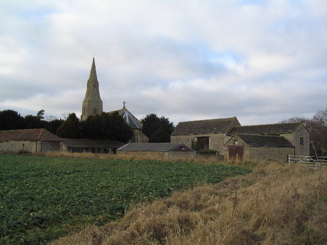
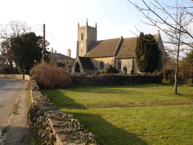
West Field is also home to several charming villages and towns that offer a glimpse into the area's rich history and culture. With their quaint cottages, historic churches, and local pubs, these settlements provide a warm and welcoming atmosphere for visitors.
Overall, West Field, Lincolnshire is a region of outstanding natural beauty, with its downs and moorland offering diverse landscapes and a sense of tranquility. Whether it's exploring the downs, hiking through the moorland, or simply enjoying the idyllic villages, West Field is a destination that appeals to those seeking a peaceful and immersive experience in nature.
If you have any feedback on the listing, please let us know in the comments section below.
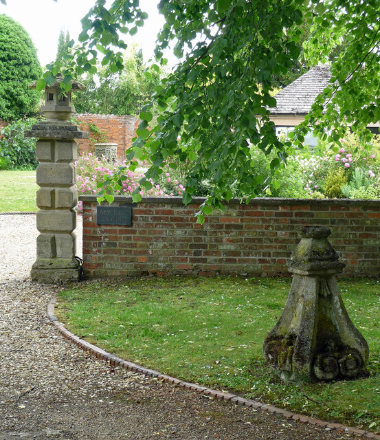
West Field Images
Images are sourced within 2km of 52.687091/-0.40277954 or Grid Reference TF0811. Thanks to Geograph Open Source API. All images are credited.


West Field is located at Grid Ref: TF0811 (Lat: 52.687091, Lng: -0.40277954)
Administrative County: Lincolnshire
District: South Kesteven
Police Authority: Lincolnshire
What 3 Words
///justifies.highly.support. Near Essendine, Rutland
Nearby Locations
Related Wikis

Greatford
Greatford is a village and civil parish in the South Kesteven district of Lincolnshire, England. It is situated 2 miles (3 km) west from the A15, 4.5 miles...
Barholm and Stowe
Barholm and Stowe is a civil parish in the South Kesteven district of Lincolnshire, England. According to the 2001 census it had a population of 87 in...
Braceborough
Braceborough is a village in the South Kesteven district of Lincolnshire, England. It is situated off the Stamford to Bourne A6121 road, just west of the...

Uffington Rural District
Uffington was a rural district in Lincolnshire, Parts of Kesteven from 1894 to 1931. It was created in 1894 from that part of the Stamford rural sanitary...
Barholm
Barholm is a village in the South Kesteven district of Lincolnshire, England. It is 2 miles (3 km) west from the A15 road, and 6 miles (10 km) south from...
King Street (Roman road)
King Street is the name of a modern road on the line of a Roman road. It runs on a straight course in eastern England, between the City of Peterborough...

Braceborough and Wilsthorpe
Braceborough and Wilsthorpe is a civil parish in the South Kesteven district of Lincolnshire, England. Braceborough and Wilsthorpe are less than 1 mile...

Wilsthorpe, Lincolnshire
Wilsthorpe is a village in the district of South Kesteven in the county of Lincolnshire, England. It is situated approximately 6 miles (10 km) north-east...
Nearby Amenities
Located within 500m of 52.687091,-0.40277954Have you been to West Field?
Leave your review of West Field below (or comments, questions and feedback).