Hurston Warren
Downs, Moorland in Sussex Horsham
England
Hurston Warren
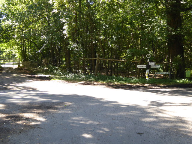
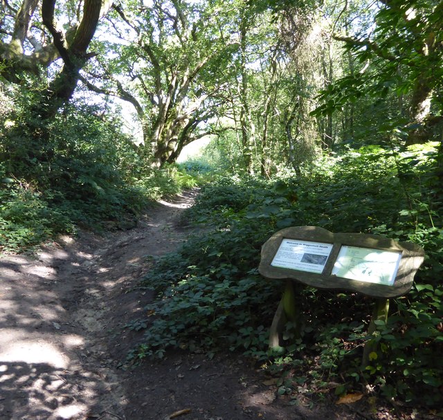
Hurston Warren is a picturesque area located in Sussex, England. Nestled amidst the stunning landscape of the South Downs, it offers a blend of both moorland and downs scenery. With its rolling hills, expansive heathlands, and picturesque villages, Hurston Warren is a haven for nature lovers and outdoor enthusiasts.
The area boasts a diverse range of habitats, making it a hotspot for wildlife. Visitors can spot a variety of bird species, including rare ones such as the nightjar and Dartford warbler. The heathlands are also home to several reptiles, such as adders and slow worms.
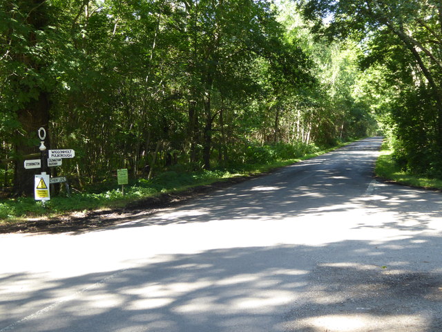
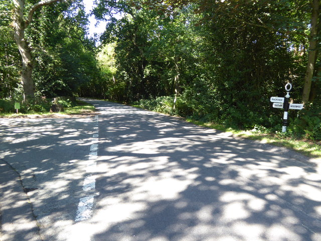
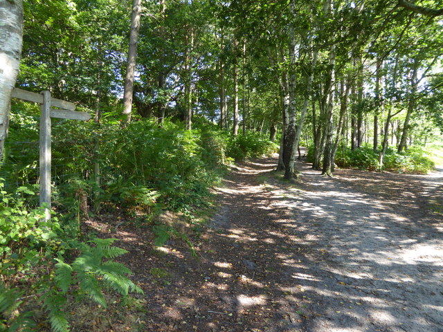
The stunning landscape of Hurston Warren provides ample opportunities for outdoor activities. Hiking and walking enthusiasts can explore the numerous trails that weave through the hills, offering breathtaking views of the surrounding countryside. Cyclists can also enjoy the challenging terrain and scenic routes.
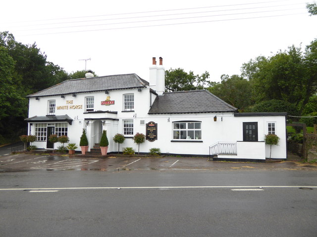
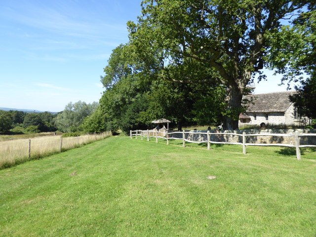
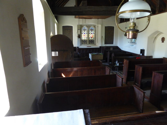
The charming villages surrounding Hurston Warren boast traditional architecture and a welcoming atmosphere. Visitors can explore local shops, cafes, and pubs, immersing themselves in the rich heritage of the area. The nearby town of Lewes offers additional amenities and historical attractions, such as Lewes Castle and Anne of Cleves House.
Overall, Hurston Warren in Sussex is a stunning destination that showcases the natural beauty of the South Downs. Whether you're seeking a peaceful retreat or an adventurous outing, this area has something to offer everyone.
If you have any feedback on the listing, please let us know in the comments section below.
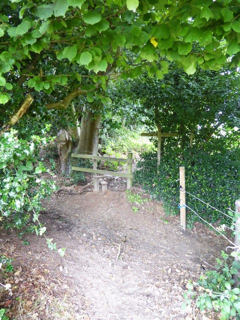
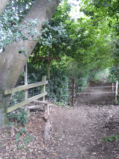
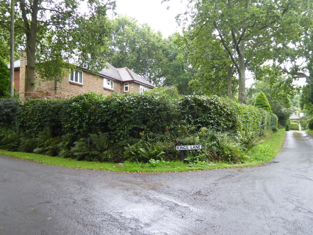
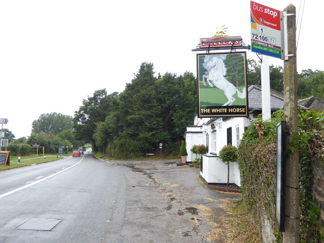
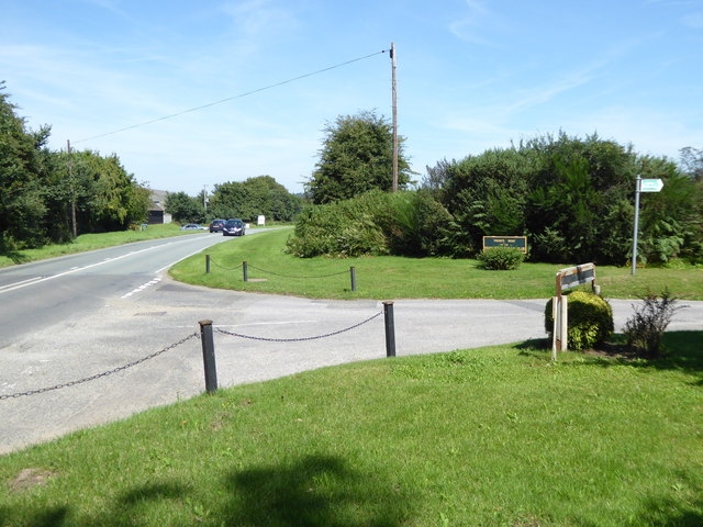
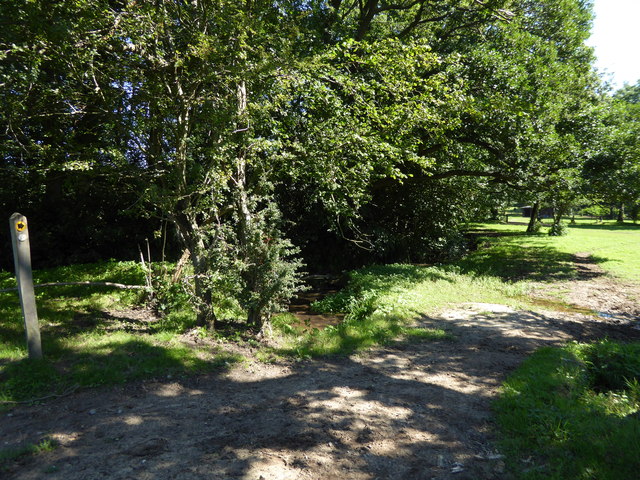
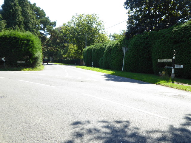
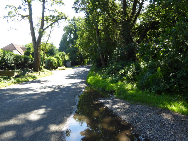
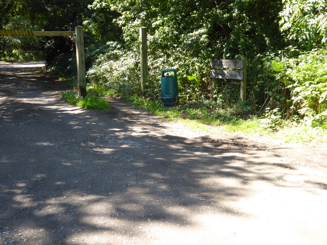
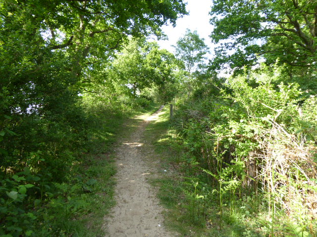
Hurston Warren Images
Images are sourced within 2km of 50.940578/-0.47340886 or Grid Reference TQ0716. Thanks to Geograph Open Source API. All images are credited.

Hurston Warren is located at Grid Ref: TQ0716 (Lat: 50.940578, Lng: -0.47340886)
Administrative County: West Sussex
District: Horsham
Police Authority: Sussex
What 3 Words
///irrigate.chatters.laugh. Near Storrington, West Sussex
Nearby Locations
Related Wikis
Hurston Warren
Hurston Warren is a 69.1-hectare (171-acre) biological Site of Special Scientific Interest south-east of Pulborough in West Sussex.This site has a variety...
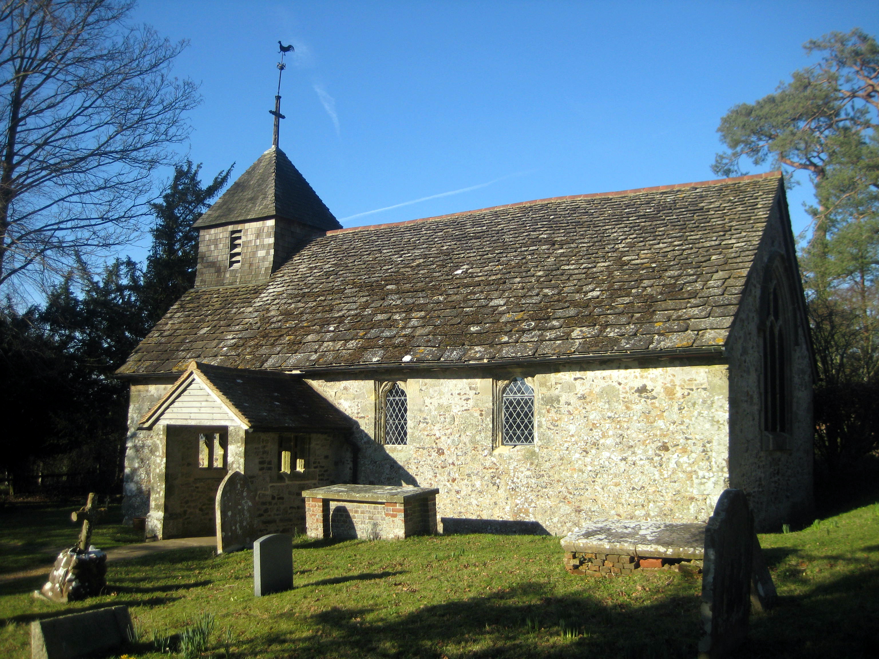
Wiggonholt
Wiggonholt is a village and former civil parish, now in the parish of Parham, in the Horsham district of West Sussex, England. It is 1.5 miles (2.4 km...

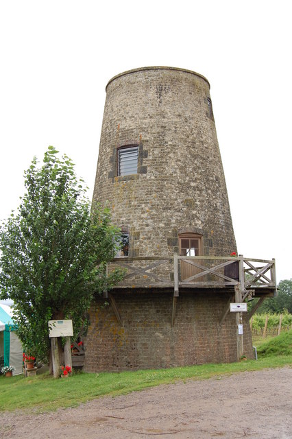
Meeten's Mill, West Chiltington
Meeten's Mill is a grade II listed smock mill at West Chiltington, Sussex, England, which has been converted to residential use. == History == Meeten's...

Marehill
Marehill is a hamlet in the Horsham District of West Sussex, England. It lies on the A283 road 0.6 miles (1 km) east of Pulborough. == External links... ==

Arundel and South Downs (UK Parliament constituency)
Arundel and South Downs () is a constituency in West Sussex created in 1997 and represented in the House of Commons of the UK Parliament since 2019 by...

Marehill Quarry
Marehill Quarry is a 1.1-hectare (2.7-acre) geological Site of Special Scientific Interest east of Pulborough in West Sussex. It is owned and managed...
Nutbourne, Horsham
Nutbourne is a hamlet running north–south situated 1.5 miles (2.4 km) east of Pulborough in the Horsham District of West Sussex and is in Pulborough civil...

Pulborough Brooks
Pulborough Brooks is a 160-hectare (400-acre) biological Site of Special Scientific Interest south of Pulborough in West Sussex. It is part of the Pulborough...
Nearby Amenities
Located within 500m of 50.940578,-0.47340886Have you been to Hurston Warren?
Leave your review of Hurston Warren below (or comments, questions and feedback).