West Chiltington

Civil Parish in Sussex Horsham

England

West Chiltington

Bare trees, blue sky and clouds
Bare trees, blue sky and clouds Credit: Ian Cunliffe

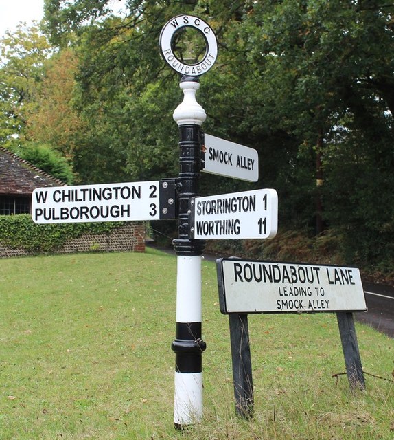
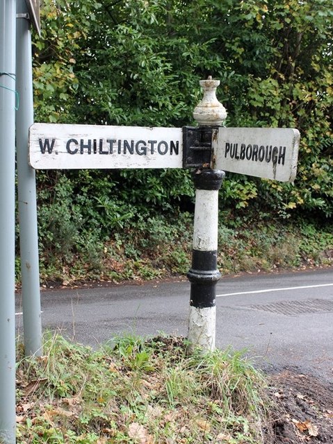
West Chiltington is a civil parish located in the district of Horsham, West Sussex, England. Situated approximately 10 miles northwest of the town of Worthing, West Chiltington covers an area of about 3.75 square miles and has a population of around 2,500 residents.

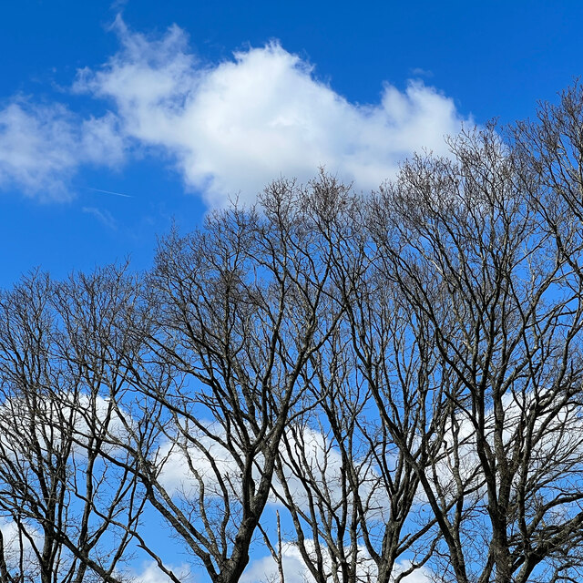
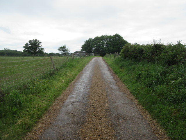
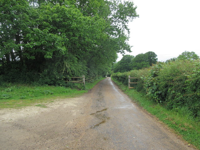
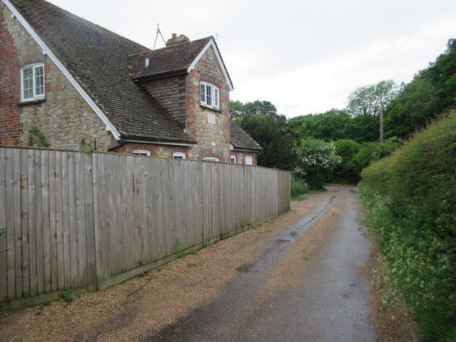
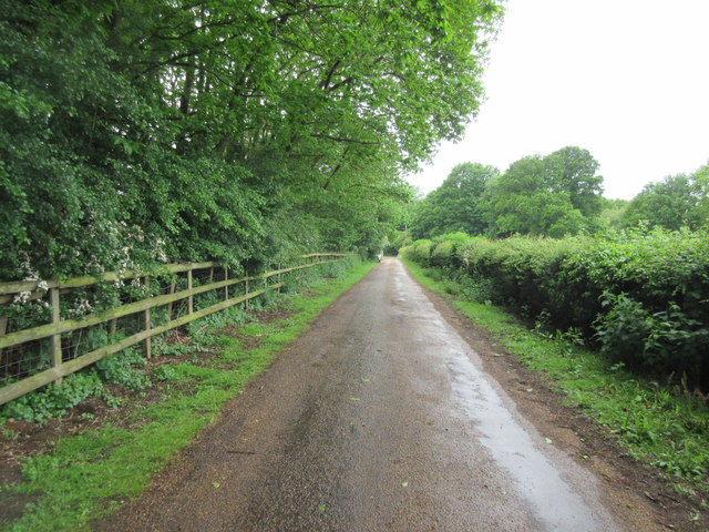
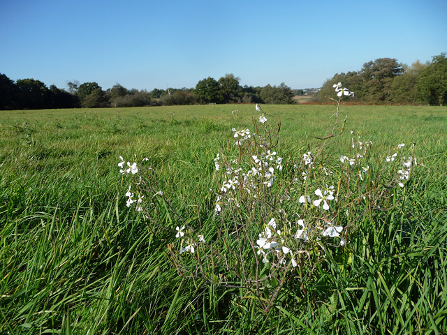
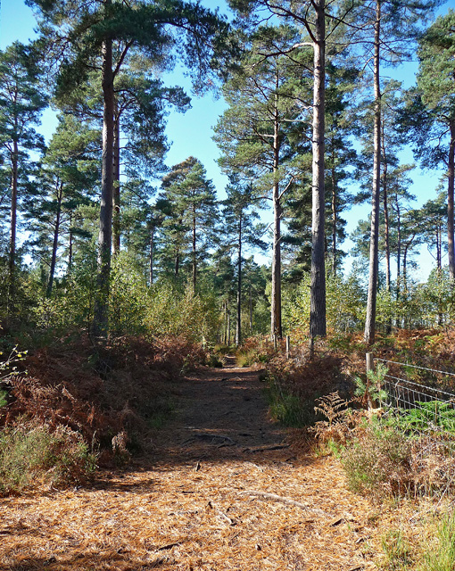
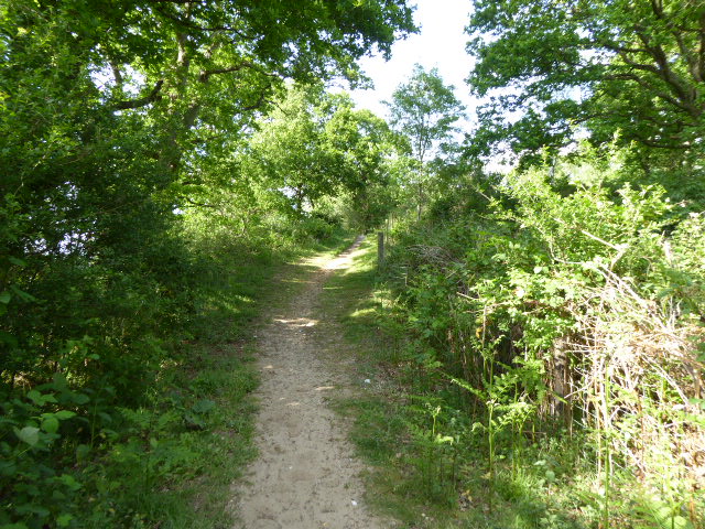
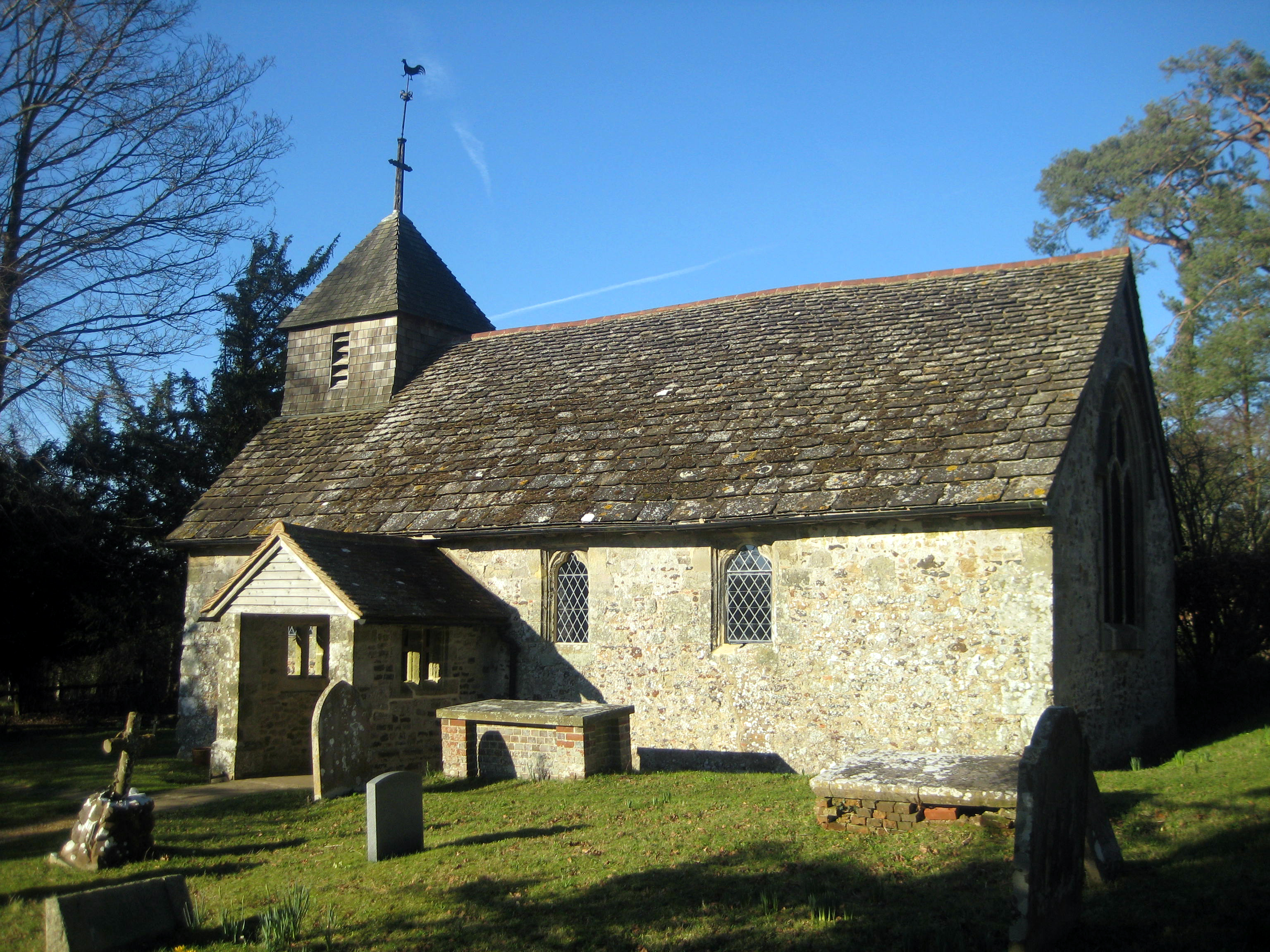
The village is surrounded by scenic countryside, with the South Downs National Park to the north and the River Arun to the west. It is a predominantly residential area, characterized by a mix of traditional cottages, modern houses, and some larger properties.

West Chiltington boasts a vibrant community with a range of amenities and services. The village has a primary school, a village hall, a post office, and a local convenience store, providing essential services for the local population. There are also several pubs and restaurants in the area, offering a variety of dining options.

The parish is well-connected by road, with the A283 running through the village, providing easy access to nearby towns and cities. Public transportation is also available, with regular bus services connecting West Chiltington to the surrounding areas.

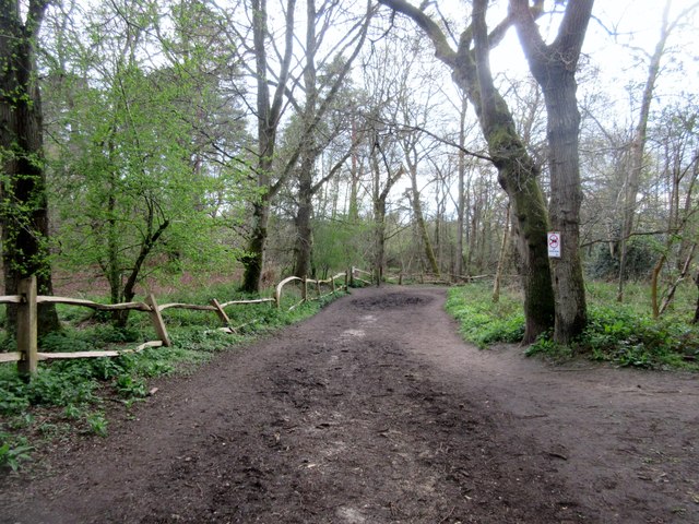
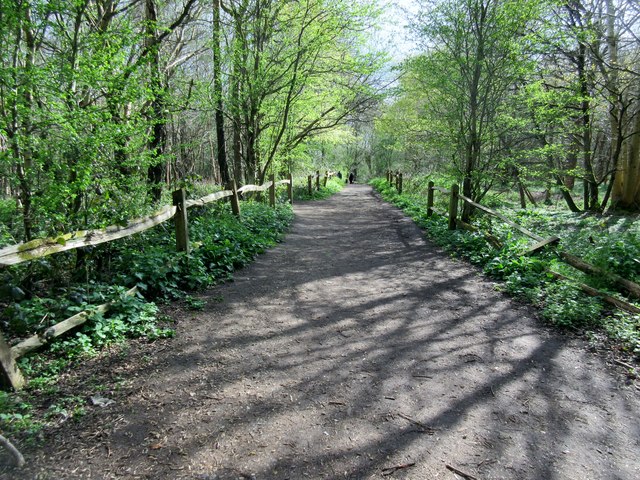
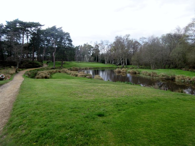
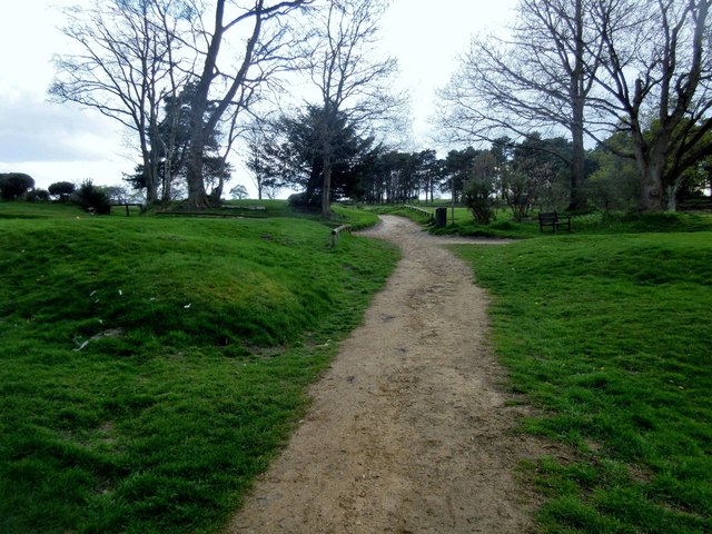
For nature lovers, West Chiltington offers ample opportunities for outdoor activities. The area is known for its picturesque landscapes, with many walking and cycling routes available in the nearby countryside. The village also has several parks and green spaces, providing recreational areas for residents and visitors alike.

Overall, West Chiltington is a charming village in the heart of West Sussex, combining a peaceful rural setting with convenient amenities and a close-knit community.

If you have any feedback on the listing, please let us know in the comments section below.

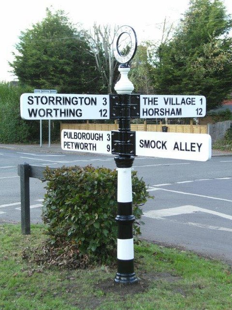
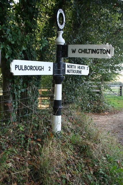
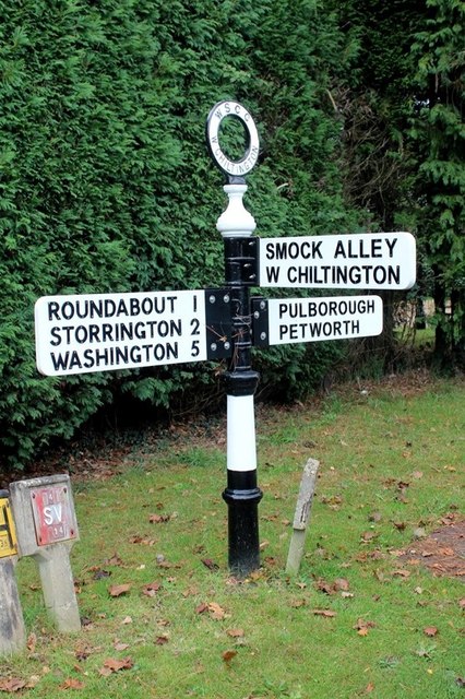
West Chiltington Images

Images are sourced within 2km of 50.940611/-0.467162 or Grid Reference TQ0716. Thanks to Geograph Open Source API. All images are credited.

Bare trees, blue sky and clouds
Spikes on a pipe over the stream These are presumably to stop children climbing over the pipe - except that children don't do that sort of thing these days!
Spikes on a pipe over the stream
These are presumably to stop children climbing over the pipe - except that children don't do that sort of thing these days!
Track from Freelands Farm Public Footpath 2636.
Track from Freelands Farm
Public Footpath 2636.
Track adjacent to lay-by  Public footpath 2636
Track adjacent to lay-by
Public footpath 2636
Track adjacent to Bog Common Cottages Public footpath 2636.
Track adjacent to Bog Common Cottages
Public footpath 2636.
Track to Bog Common Cottages Public footpath 2636.
Track to Bog Common Cottages
Public footpath 2636.
Monkmead Wood Public bridleway 2470.
Monkmead Wood
Public bridleway 2470.
Dog walkers in Monkmead Wood Public bridleway 2470.
Dog walkers in Monkmead Wood
Public bridleway 2470.
West Sussex Golf Course 15th Hole, 104 yards, par3.
West Sussex Golf Course
15th Hole, 104 yards, par3.
Bridleway crossing Golf Course Public bridleway 2470.
Bridleway crossing Golf Course
Public bridleway 2470.
Flowers in a field The only break, aside from a few thistles and the odd dandelion, from a sea of grass. Unidentified by me.
Flowers in a field
The only break, aside from a few thistles and the odd dandelion, from a sea of grass. Unidentified by me.
Wiggonholt Common (1) As a regular visitor 30+ years ago, my recollection is that this was a mostly open common whereas now it is quite heavily wooded. Either the memory plays tricks or things have changed. One thing that definitely has changed is that the omnipotent RSPB is now involved and had fenced off most of the common.
Wiggonholt Common (1)
As a regular visitor 30+ years ago, my recollection is that this was a mostly open common whereas now it is quite heavily wooded. Either the memory plays tricks or things have changed. One thing that definitely has changed is that the omnipotent RSPB is now involved and had fenced off most of the common.
Old Direction Sign - Signpost by Common Hill, West Chiltington Common Annulus finial - 4 arms; WSCC parish halo by the UC road, in parish of West Chiltington (Horsham District), junction Haglands Lane, Common Hill, The Common & Mill Rd, on grass verge.

To be surveyed

Milestone Society National ID: SX_TQ0817.
Old Direction Sign - Signpost by Common Hill, West Chiltington Common
Annulus finial - 4 arms; WSCC parish halo by the UC road, in parish of West Chiltington (Horsham District), junction Haglands Lane, Common Hill, The Common & Mill Rd, on grass verge. To be surveyed Milestone Society National ID: SX_TQ0817.
Old Direction Sign - Signpost by Nutborne Road, Pulborough Parish Annulus finial - 3 arms; WSCC parish halo by the UC road, in parish of Pulborough (Horsham District), junction of Stream Lane with Nutbourne Road.

To be surveyed

Milestone Society National ID: SX_TQ0718
Old Direction Sign - Signpost by Nutborne Road, Pulborough Parish
Annulus finial - 3 arms; WSCC parish halo by the UC road, in parish of Pulborough (Horsham District), junction of Stream Lane with Nutbourne Road. To be surveyed Milestone Society National ID: SX_TQ0718
Old Direction Sign - Signpost by Mill Road, West Chiltington parish Black iron cap finial - 3 arms; East Sussex wood by the UC road, in parish of West Chiltington (Horsham District), Mill Road, on ivy covered bank opposite the junction of Stream Lane with Mill Road.

Surveyed

Milestone Society National ID: SX_TQ0818
Old Direction Sign - Signpost by Mill Road, West Chiltington parish
Black iron cap finial - 3 arms; East Sussex wood by the UC road, in parish of West Chiltington (Horsham District), Mill Road, on ivy covered bank opposite the junction of Stream Lane with Mill Road. Surveyed Milestone Society National ID: SX_TQ0818
Direction Sign – Signpost Located on the south side of the junction of Monkmead Road and Harborough Hill in West Chiltington parish. 3 arms and annulus finial. See also <a title="https://www.geograph.org.uk/photo/246053" href="https://www.geograph.org.uk/photo/246053">Link</a>.

Milestone Society National ID: SX_TQ0717
Direction Sign – Signpost
Located on the south side of the junction of Monkmead Road and Harborough Hill in West Chiltington parish. 3 arms and annulus finial. See also Link. Milestone Society National ID: SX_TQ0717
Direction Sign – Signpost Located on the northeast side of the junction of Roundabout Lane and Monkmead Lane in West Chiltington parish. 3 arms and annulus finial.

Milestone Society National ID: SX_TQ0816
Direction Sign – Signpost
Located on the northeast side of the junction of Roundabout Lane and Monkmead Lane in West Chiltington parish. 3 arms and annulus finial. Milestone Society National ID: SX_TQ0816
Direction Sign – Signpost Located on the northwest side of the junction of Common Hill and Monkmead Lane in West Chiltington parish. 2 arms and lost annulus finial.

Milestone Society National ID: SX_TQ0816A
Direction Sign – Signpost
Located on the northwest side of the junction of Common Hill and Monkmead Lane in West Chiltington parish. 2 arms and lost annulus finial. Milestone Society National ID: SX_TQ0816A
Show me another place!

West Chiltington is located at Grid Ref: TQ0716 (Lat: 50.940611, Lng: -0.467162)

Administrative County: West Sussex

District: Horsham

Police Authority: Sussex

What 3 Words

///ivory.nets.overused. Near Storrington, West Sussex

Related Wikis

Hurston Warren

Hurston Warren is a 69.1-hectare (171-acre) biological Site of Special Scientific Interest south-east of Pulborough in West Sussex.This site has a variety...

Meeten's Mill, West Chiltington

Meeten's Mill is a grade II listed smock mill at West Chiltington, Sussex, England, which has been converted to residential use. == History == Meeten's...

Wiggonholt

Wiggonholt is a village and former civil parish, now in the parish of Parham, in the Horsham district of West Sussex, England. It is 1.5 miles (2.4 km...

Arundel and South Downs (UK Parliament constituency)

Arundel and South Downs () is a constituency in West Sussex created in 1997 and represented in the House of Commons of the UK Parliament since 2019 by...

Related Videos

Angmering Park Estate near Arundel | West Sussex Walks | Hiking and Walking #Arundel #westsussex

Walking #Arundel #angmeringparkestate #westsussex #westsussexwalks #hiking #walking A short video as we are still in partial ...

Walk in Eartham Woods, West Sussex #viewranger #walking #hiking #trekking

Bank Holiday Monday. #walking and #trekking around Eartham Woods in #West Sussex. Muffed it using #viewranger but go there ...
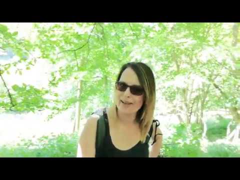
Come walking in the 🏴󠁧󠁢󠁥󠁮󠁧󠁿 countryside!

A short relaxing virtual walk through English countryside. Full HD. Ambient sound. No music. Watch the full length version: ...

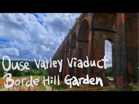
Travel Vlog | Jacob & Po go to Ouse Valley Viaduct & Borde Hill Garden 2020

關於更多這個旅遊景點的資訊,請到我們的Instagram: jacobandpogoto For more travel info, please head to our Instagram: ...

Nearby Amenities

Located within 500m of 50.940611,-0.467162
Generator Method: photovoltaic
Generator Output Electricity: yes
Generator Source: solar
Generator Type: solar_photovoltaic_panel
Location: roof
Power: generator
Lat/Long: 50.9420697/-0.4621151
Generator Method: photovoltaic
Generator Output Electricity: yes
Generator Source: solar
Generator Type: solar_photovoltaic_panel
Location: roof
Power: generator
Lat/Long: 50.942019/-0.4620025
Generator Method: photovoltaic
Generator Output Electricity: yes
Generator Source: solar
Generator Type: solar_photovoltaic_panel
Location: roof
Power: generator
Lat/Long: 50.9418314/-0.4614821
Generator Method: photovoltaic
Generator Output Electricity: yes
Generator Source: solar
Generator Type: solar_photovoltaic_panel
Location: roof
Power: generator
Lat/Long: 50.9414562/-0.4613104
Generator Method: photovoltaic
Generator Output Electricity: yes
Generator Source: solar
Generator Type: solar_photovoltaic_panel
Location: roof
Power: generator
Lat/Long: 50.9415119/-0.4614714
Generator Method: photovoltaic
Generator Output Electricity: yes
Generator Source: solar
Generator Type: solar_photovoltaic_panel
Location: roof
Power: generator
Lat/Long: 50.9416472/-0.4611924
Generator Method: photovoltaic
Generator Output Electricity: yes
Generator Source: solar
Generator Type: solar_photovoltaic_panel
Location: roof
Power: generator
Lat/Long: 50.9411604/-0.4603127
The data included in this document is from www.openstreetmap.org. The data is made available under ODbL.

Have you been to West Chiltington?

Leave your review of West Chiltington below (or comments, questions and feedback).