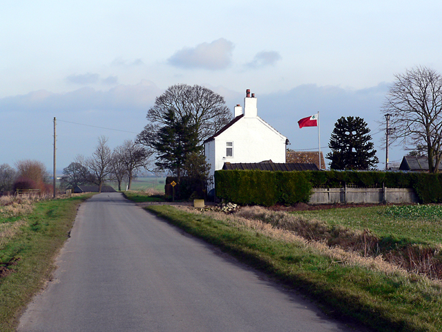
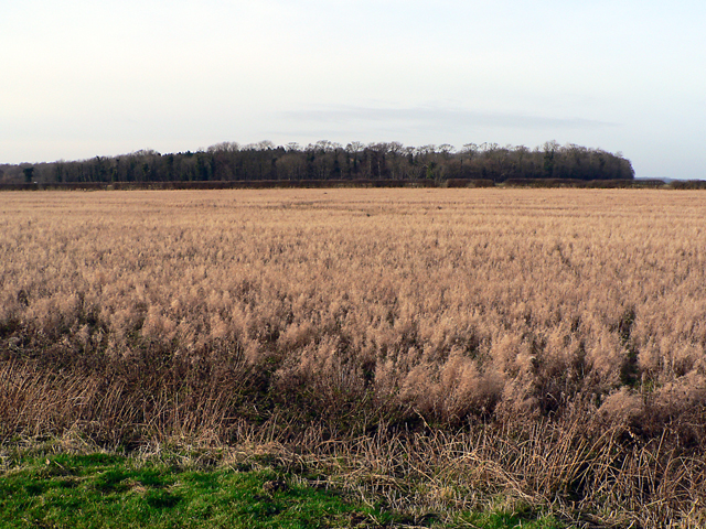
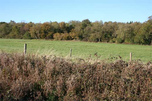
Metheringham Low Fields
Downs, Moorland in Lincolnshire North Kesteven
England
Metheringham Low Fields
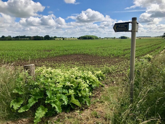
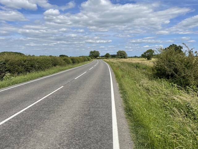
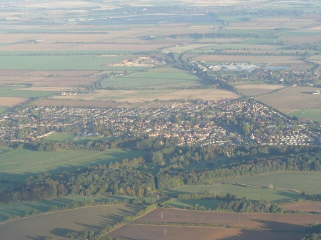
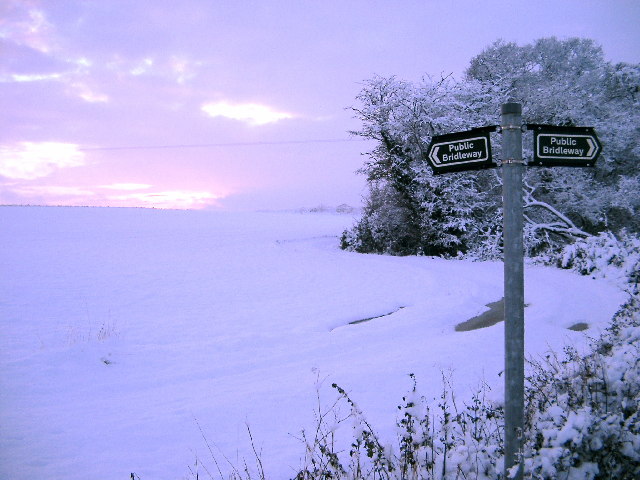
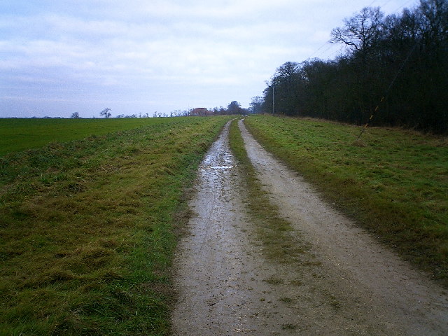
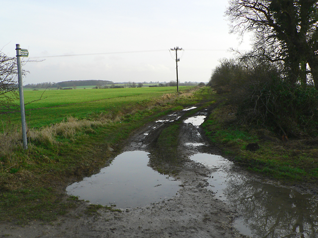
Metheringham Low Fields is a vast expanse of land located in Lincolnshire, England. Situated in the heart of the county, it encompasses a diverse range of landscapes, including downs and moorland. Spanning over hundreds of acres, the area offers a unique blend of natural beauty and tranquility.
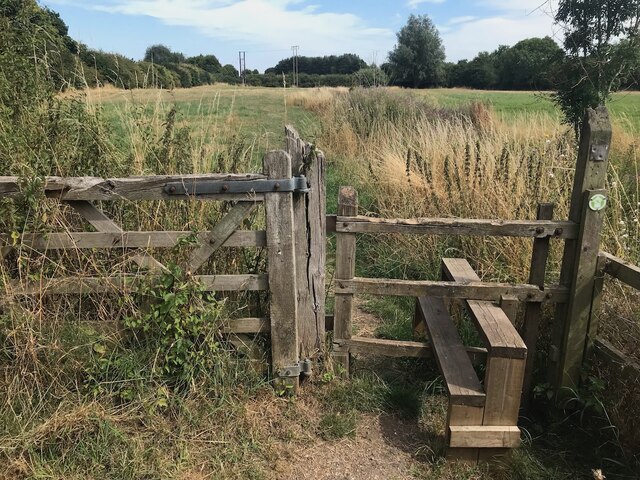
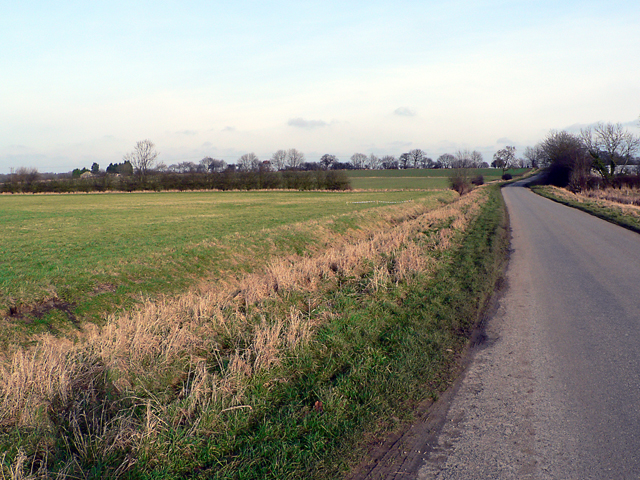
The downs of Metheringham Low Fields are characterized by gently rolling hills and expansive grasslands. These downs provide a picturesque setting, ideal for leisurely walks and picnics. The open vistas offer stunning views of the surrounding countryside, with the distant hills forming a captivating backdrop.
In contrast, the moorland of Metheringham Low Fields offers a more rugged and wild environment. The moors are covered in heather, creating a colorful and vibrant landscape, particularly during the summer months. The area is home to a variety of wildlife species, including birds, small mammals, and reptiles, making it a popular spot for nature enthusiasts and birdwatchers.
Metheringham Low Fields is also known for its rich history. It is dotted with ancient burial mounds, evidence of its use as a burial ground dating back centuries. The area has also been used for agriculture, with farmers utilizing the fertile land for grazing livestock and growing crops.
Overall, Metheringham Low Fields is a captivating destination that showcases the natural beauty and diverse landscapes of Lincolnshire. Whether you are seeking a peaceful retreat or an opportunity to connect with nature, this area offers something for everyone.
If you have any feedback on the listing, please let us know in the comments section below.
Metheringham Low Fields Images
Images are sourced within 2km of 53.14862/-0.39523119 or Grid Reference TF0762. Thanks to Geograph Open Source API. All images are credited.


Metheringham Low Fields is located at Grid Ref: TF0762 (Lat: 53.14862, Lng: -0.39523119)
Administrative County: Lincolnshire
District: North Kesteven
Police Authority: Lincolnshire
What 3 Words
///sends.backpacks.risky. Near Metheringham, Lincolnshire
Nearby Locations
Related Wikis

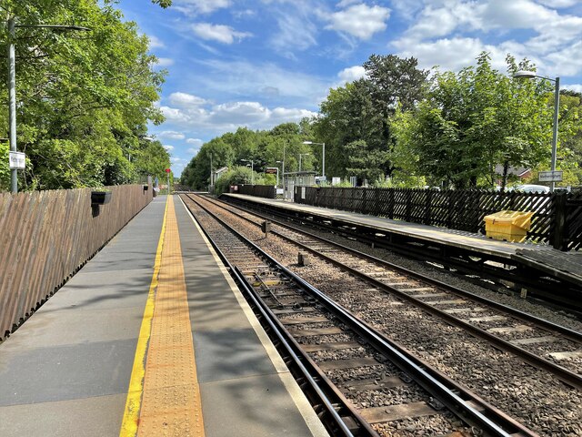
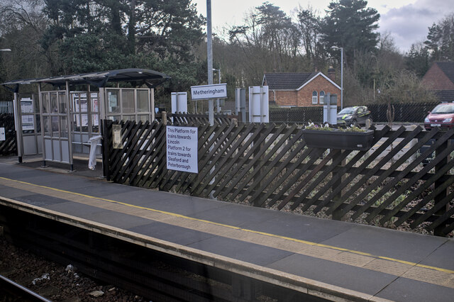
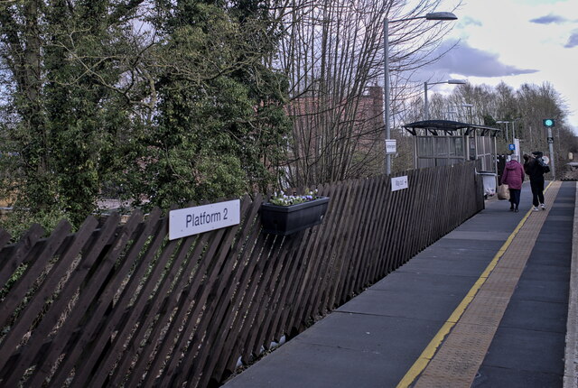
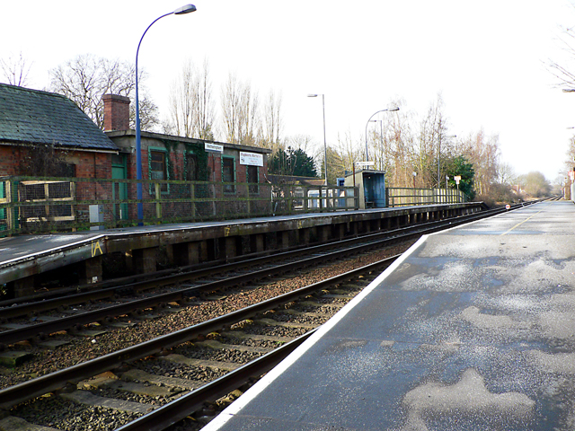
Metheringham railway station
Metheringham railway station serves the village of Metheringham in Lincolnshire, England. It lies on the Peterborough–Lincoln line. It is owned by Network...

Dunston, Lincolnshire
Dunston is a small village in the North Kesteven district of Lincolnshire, England. It is situated approximately 7 miles (11 km) south-east from the city...

Metheringham
Metheringham is a village and civil parish in the North Kesteven district of Lincolnshire, England. The population of the civil parish at the 2011 census...
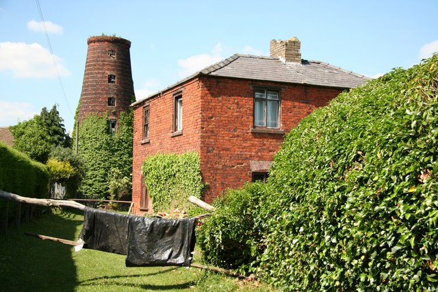
Metheringham Windmill
Metheringham Windmill, locally known as The Old Meg Flour Mill, was a six-storeyed, six-sailed, and tarred slender Lincolnshire type windmill with the...

Lincolnshire potato railways
The Lincolnshire potato railways were a network of private, 1 ft 11+1⁄2 in (597 mm) narrow gauge farm railways which existed in the English county of Lincolnshire...

Nocton and Dunston railway station
Nocton and Dunston railway station served Nocton and Dunston in Lincolnshire which shared a GNR/GER Joint railway station until it was closed for passengers...

Nocton rail crash
The Nocton rail crash was a rail accident that happened on 28 February 2002 near Nocton, Lincolnshire, England, after a vehicle smashed through a wall...

RAF Hospital Nocton Hall
RAF Hospital Nocton Hall was a 740-bed RAF hospital in Nocton, Lincolnshire serving the predominantly RAF personnel based at the large number of RAF Stations...
Nearby Amenities
Located within 500m of 53.14862,-0.39523119Have you been to Metheringham Low Fields?
Leave your review of Metheringham Low Fields below (or comments, questions and feedback).