Mill Flats
Downs, Moorland in Yorkshire
England
Mill Flats

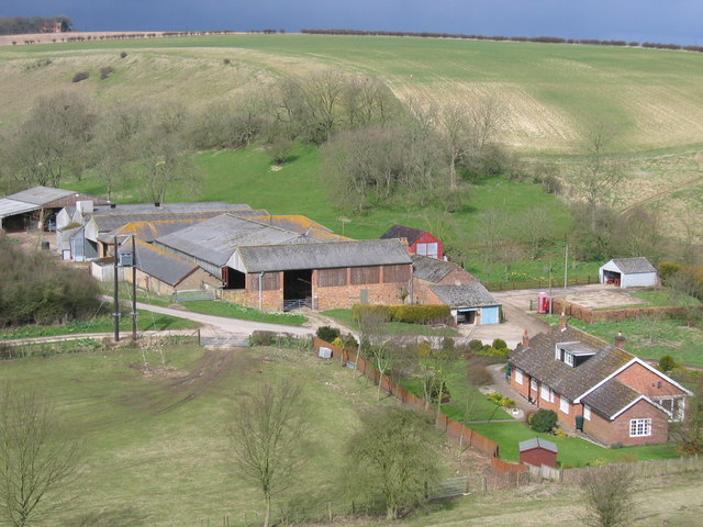
Mill Flats is a picturesque region located in Yorkshire, England, encompassing both the Downs and Moorland landscapes. This captivating area is known for its natural beauty, rich history, and diverse wildlife.
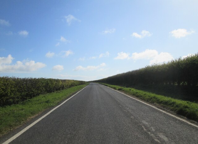
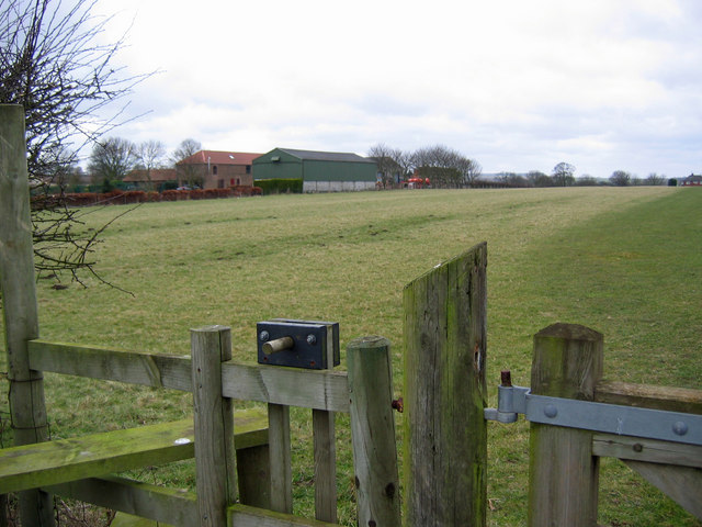
The Downs of Mill Flats offer rolling hills and expansive meadows, characterized by their lush greenery and gently sloping terrain. Visitors are greeted with breathtaking panoramic views of the surrounding countryside, making it an ideal spot for leisurely walks and picnics. The Downs also provide an excellent habitat for a variety of flora and fauna, including wildflowers, butterflies, and grazing sheep.
Adjacent to the Downs, the Moorland of Mill Flats presents a striking contrast with its rugged and untamed beauty. This vast expanse of open heathland is scattered with heather and gorse, creating a vibrant purple and yellow color palette during the summer months. Moorland is home to unique wildlife, such as red grouse, curlews, and the elusive adder. It also boasts several ancient archaeological sites, including standing stones and burial mounds, which offer glimpses into the region's distant past.
Mill Flats is a popular destination for outdoor enthusiasts and nature lovers, offering a range of activities to suit all interests. Hiking and cycling trails crisscross the region, allowing visitors to explore its hidden gems at their own pace. Additionally, the area provides opportunities for birdwatching, photography, and even horseback riding.
Overall, Mill Flats in Yorkshire is a captivating destination that showcases the diverse natural beauty of the Downs and Moorland landscapes. Whether you are seeking tranquility, adventure, or a deeper connection with nature, this region is sure to leave a lasting impression.
If you have any feedback on the listing, please let us know in the comments section below.
Mill Flats Images
Images are sourced within 2km of 54.146082/-0.35912478 or Grid Reference TA0773. Thanks to Geograph Open Source API. All images are credited.


Mill Flats is located at Grid Ref: TA0773 (Lat: 54.146082, Lng: -0.35912478)
Division: East Riding
Unitary Authority: East Riding of Yorkshire
Police Authority: Humberside
What 3 Words
///processes.duty.hairspray. Near Wold Newton, East Yorkshire
Nearby Locations
Related Wikis

Willy Howe
Willy Howe (also Willey-Hou) is a tumulus in the Yorkshire Wolds, East Riding of Yorkshire, England. == History and description == Willy Howe is a large...

Burton Fleming
Burton Fleming is a village and civil parish in the East Riding of Yorkshire, England. It lies close to the border with North Yorkshire. The village is...

Great Wold Valley
The Great Wold Valley is the largest and broadest of the valleys cutting into the Yorkshire Wolds in northern England. It carries the Gypsey Race, an intermittent...

Wold Newton, East Riding of Yorkshire
Wold Newton is a small Yorkshire Wolds village and civil parish in the East Riding of Yorkshire, England. It is situated approximately 9 miles (14 km)...
Fordon, East Riding of Yorkshire
Fordon is a village and former civil parish, now in the parish of Wold Newton, in the East Riding of Yorkshire, England, near the border with North Yorkshire...

Wold Cottage meteorite
The Wold Cottage meteorite (also called the Wold Newton meteorite) fell near Wold Cottage farm in 1795, a few miles away from the village of Wold Newton...
Thwing, East Riding of Yorkshire
Thwing is a village and civil parish in the Yorkshire Wolds, in the East Riding of Yorkshire, England. == Description == Thwing is located in the Yorkshire...

Hunmanby railway station
Hunmanby railway station serves the large village of Hunmanby in North Yorkshire, England. It is located on the Yorkshire Coast Line and is operated by...
Nearby Amenities
Located within 500m of 54.146082,-0.35912478Have you been to Mill Flats?
Leave your review of Mill Flats below (or comments, questions and feedback).