Cottam Warren

Downs, Moorland in Yorkshire

England

Cottam Warren

B1249 near Cottam Warren
B1249 near Cottam Warren Credit: David Brown

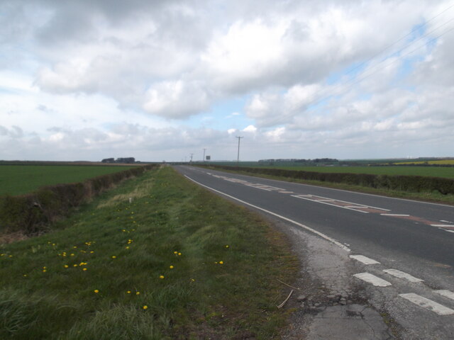
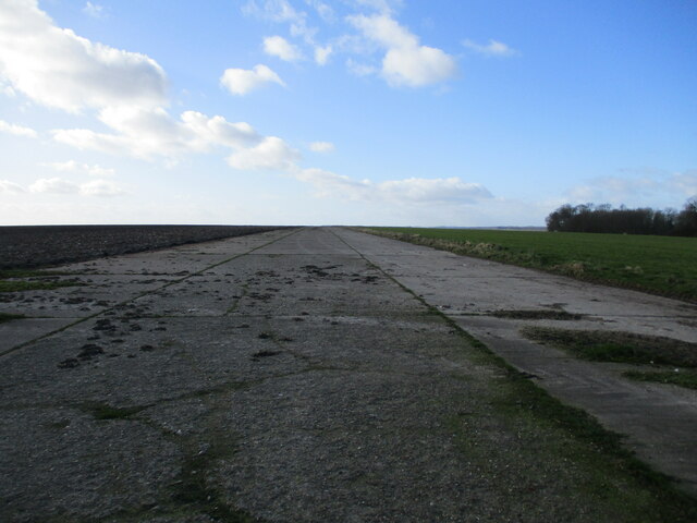
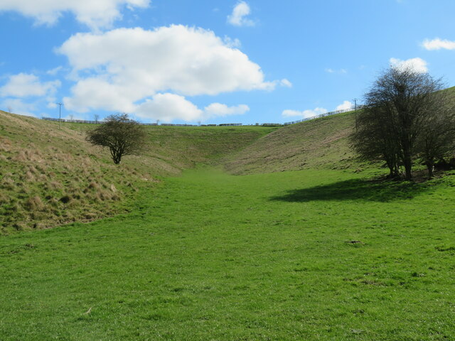
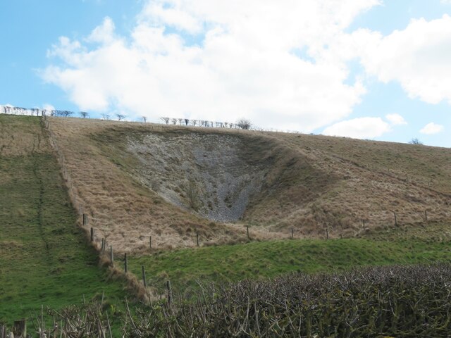
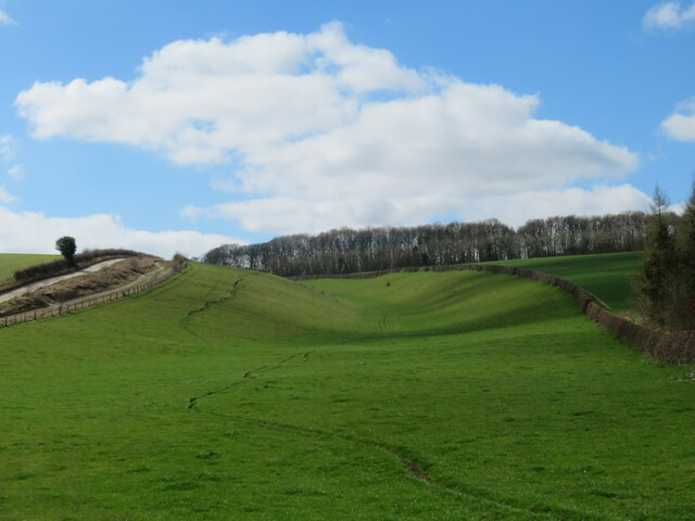
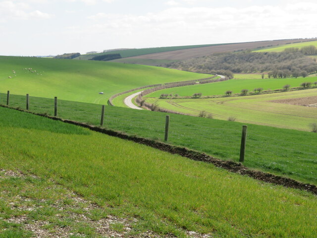
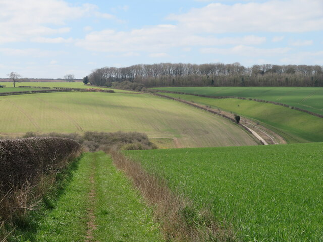
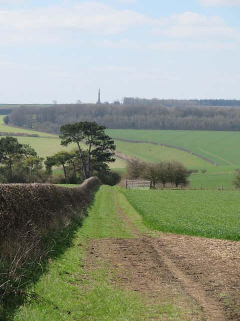
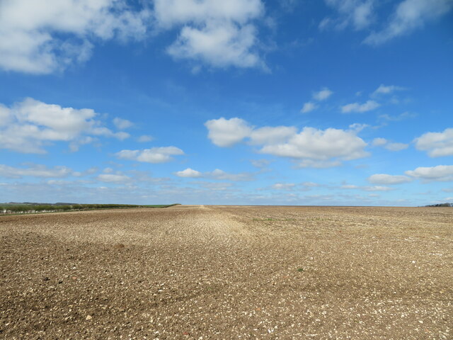
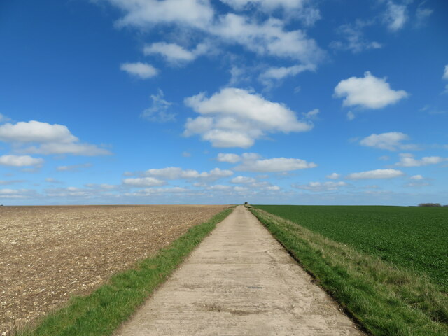
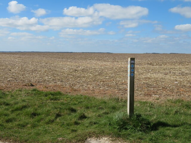
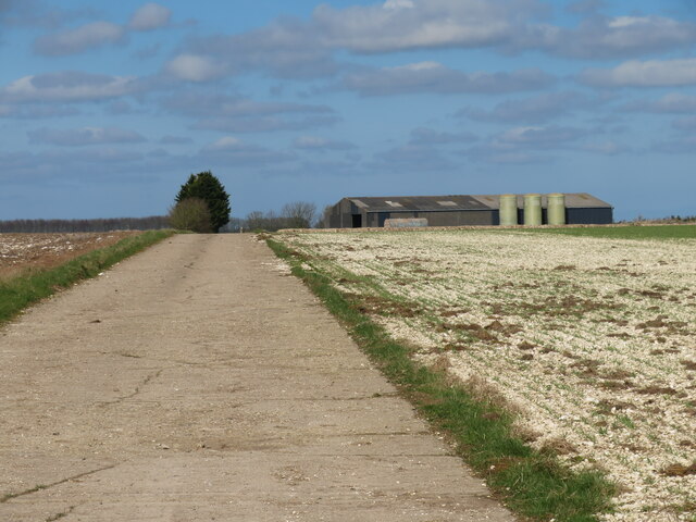
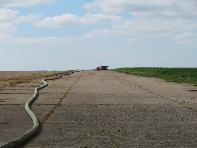
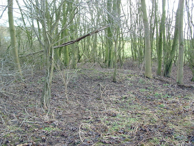
Cottam Warren is a designated site of special scientific interest located in Yorkshire, England. It covers an area of approximately 124 hectares and is situated on the edge of the Yorkshire Wolds. The landscape of Cottam Warren is characterized by a mix of open moorland, grassland, and scrub habitats.

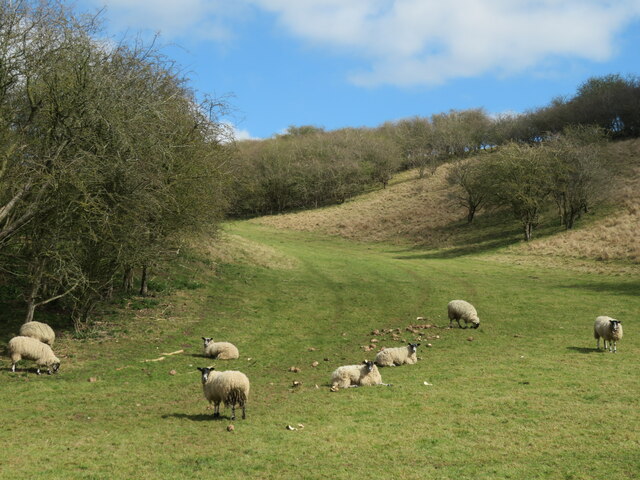
The site is home to a variety of plant and animal species, including heather, bilberry, and various species of mosses and lichens. It is also an important habitat for a range of bird species, such as curlews, lapwings, and meadow pipits.

Cottam Warren is managed by the Yorkshire Wildlife Trust, which works to protect and enhance the biodiversity of the site. Visitors to Cottam Warren can enjoy walking and birdwatching in the peaceful surroundings, while also learning about the importance of conservation efforts in preserving this unique landscape.

Overall, Cottam Warren is a beautiful and diverse natural area that provides a valuable habitat for a wide range of plant and animal species. It is a popular destination for nature lovers and outdoor enthusiasts looking to explore the rugged beauty of the Yorkshire countryside.

If you have any feedback on the listing, please let us know in the comments section below.

Cottam Warren Images

Images are sourced within 2km of 54.051631/-0.48673632 or Grid Reference SE9962. Thanks to Geograph Open Source API. All images are credited.
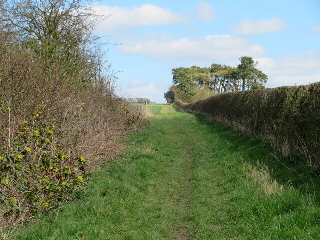
B1249 near Cottam Warren
Runway  on  the  disused  2nd  WW  RAF  Cottam Built in 1939 as a Satellite airfield to RAF Driffield used only occasionally for flying due to adverse winds and low cloud on the high wold. Mostly used by Maintenance Units for bomb storage. Closed 1954
Runway on the disused 2nd WW RAF Cottam
Built in 1939 as a Satellite airfield to RAF Driffield used only occasionally for flying due to adverse winds and low cloud on the high wold. Mostly used by Maintenance Units for bomb storage. Closed 1954
Buildings  on  runway  of  disused  RAF  Cottam Built 1939 closed 1954 reverted to agricultural use
Buildings on runway of disused RAF Cottam
Built 1939 closed 1954 reverted to agricultural use
WW2  disused  airfield  now  track  to  fields  and  bridleway
WW2 disused airfield now track to fields and bridleway
Elvin Lear Strangely named, short side valley off Cottam Well Dale.
Elvin Lear
Strangely named, short side valley off Cottam Well Dale.
Path in Cottam Well Dale Pleasant walking in a typical Wolds dry valley.  For much of the way along the dale one is accompanied by lines of small trees [hawthorn etc] along the fence line.
Path in Cottam Well Dale
Pleasant walking in a typical Wolds dry valley. For much of the way along the dale one is accompanied by lines of small trees [hawthorn etc] along the fence line.
Old chalk pit Disused chalk pits are dotted around the Wolds country. This one is shown on first edition OS maps and appeared to have grown in size by the end of the 19th century.
Old chalk pit
Disused chalk pits are dotted around the Wolds country. This one is shown on first edition OS maps and appeared to have grown in size by the end of the 19th century.
Side valley off Garton Bottom Shallow side valley west of the road in Garton Bottom. To the left is the track, shown as a way open to pedestrians, cyclists, horse riders and possibly vehicles if it is classed as a 'BOAT'. The route is shown as 'York Road', even on modern maps and one suspects that this is an ancient way of some importance, being shown further east as a Roman Road heading all the way to Bridlington, where maybe the Romans went for a holiday.
Side valley off Garton Bottom
Shallow side valley west of the road in Garton Bottom. To the left is the track, shown as a way open to pedestrians, cyclists, horse riders and possibly vehicles if it is classed as a 'BOAT'. The route is shown as 'York Road', even on modern maps and one suspects that this is an ancient way of some importance, being shown further east as a Roman Road heading all the way to Bridlington, where maybe the Romans went for a holiday.
Garton Bottom The view down the valley from the bridleway that climbs the hillside towards Cottam.
Garton Bottom
The view down the valley from the bridleway that climbs the hillside towards Cottam.
Bridleway heading SW The path drops into Garton Bottom and can be seen ascending the hillside opposite. This stretch is shown as York Road on maps both old and new and it may be part of a Roman route from York to Bridlington.
Bridleway heading SW
The path drops into Garton Bottom and can be seen ascending the hillside opposite. This stretch is shown as York Road on maps both old and new and it may be part of a Roman route from York to Bridlington.
Sheep pasture, Garton Bottom At this point a shallow side valley is carved into the hillside. The sheep appear to be more interested in the grass than the winter beet feed that has been left for them.
Sheep pasture, Garton Bottom
At this point a shallow side valley is carved into the hillside. The sheep appear to be more interested in the grass than the winter beet feed that has been left for them.
A long straight path The bridleway towards Cottam on a gentle ascent to the Wolds plateau. parts of this route form a Roman Road from York to Bridlington and the arrow straight nature of this section would suggest Roman origins.
A long straight path
The bridleway towards Cottam on a gentle ascent to the Wolds plateau. parts of this route form a Roman Road from York to Bridlington and the arrow straight nature of this section would suggest Roman origins.
Bridleway heading south west The straight line of the bridleway is interrupted by a 'kink' as it passes through the top of Lambert Dale before reaching the road in Garton Bottom. On the skyline is the Sir Tatton Sykes Memorial Tower which dates from 1865 and is 37m high.
Bridleway heading south west
The straight line of the bridleway is interrupted by a 'kink' as it passes through the top of Lambert Dale before reaching the road in Garton Bottom. On the skyline is the Sir Tatton Sykes Memorial Tower which dates from 1865 and is 37m high.
Big fields, big skies Wolds plateau country where huge fields support cereal crops. This one appears to have been recently tilled, but no new crop is yet visible.
Big fields, big skies
Wolds plateau country where huge fields support cereal crops. This one appears to have been recently tilled, but no new crop is yet visible.
A long straight track This concreted track could be on the line of the Roman Road from York to Bridlington, but it is very doubtful if this is Roman concrete. More likely to date from WW2 when this would have been part of the airfield.
A long straight track
This concreted track could be on the line of the Roman Road from York to Bridlington, but it is very doubtful if this is Roman concrete. More likely to date from WW2 when this would have been part of the airfield.
Plenty of information It looks like the local authority has been generous with information on this waymarker post. There's also a reference to 'Wold Ranger', and research reveals that this is on a long distance 'Wold Ranger Way', a route which I hadn't previously heard of. The post is on a corner where 4 bridleways meet on land which was once a WW2 airfield.
Plenty of information
It looks like the local authority has been generous with information on this waymarker post. There's also a reference to 'Wold Ranger', and research reveals that this is on a long distance 'Wold Ranger Way', a route which I hadn't previously heard of. The post is on a corner where 4 bridleways meet on land which was once a WW2 airfield.
Concrete road towards farm buildings The road is part of the former WW2 airfield and is now a farm road and bridleway. Extensive modern agricultural buildings ahead to the right.
Concrete road towards farm buildings
The road is part of the former WW2 airfield and is now a farm road and bridleway. Extensive modern agricultural buildings ahead to the right.
Part of the runway on old airfield site RAF Cottam was a relief airfield for nearby Driffield and was rarely used during the war due to frequent problems with crosswinds and low cloud. Mostly used as a bomb store and finally closed in the early 1950's.  This appears to be part of the old runway, but the section behind the camera is much wider and now has extensive agricultural buildings on it.
Part of the runway on old airfield site
RAF Cottam was a relief airfield for nearby Driffield and was rarely used during the war due to frequent problems with crosswinds and low cloud. Mostly used as a bomb store and finally closed in the early 1950's. This appears to be part of the old runway, but the section behind the camera is much wider and now has extensive agricultural buildings on it.
Show me another place!

Cottam Warren is located at Grid Ref: SE9962 (Lat: 54.051631, Lng: -0.48673632)

Division: East Riding

Unitary Authority: East Riding of Yorkshire

Police Authority: Humberside

What 3 Words

///clues.thanks.buckling. Near Driffield, East Yorkshire

Related Wikis

RAF Cottam

Royal Air Force Cottam or more simply RAF Cottam is a former Royal Air Force satellite airfield near Cottam in the East Riding of Yorkshire, England and...

Cottam, East Riding of Yorkshire

Cottam is a hamlet and civil parish in the East Riding of Yorkshire, England. The hamlet is west of the B1249 Skipsea to Staxton road, and in the Yorkshire...

Danes Graves

Danes Graves is an archaeological site in the East Riding of Yorkshire. It forms part of the Arras Culture of inhumation and chariot burial prevalent in...

East Yorkshire (district)

The Borough of East Yorkshire was one of nine local government districts of the county of Humberside, England, from 1 April 1974 to 1 April 1996. The district...

Have you been to Cottam Warren?

Leave your review of Cottam Warren below (or comments, questions and feedback).