Cottam Warren
Settlement in Yorkshire
England
Cottam Warren
Cottam Warren is a small village located in the county of Yorkshire, England. Situated in the East Riding of Yorkshire, it lies approximately 6 miles northeast of the town of Driffield and 3 miles northwest of the village of Nafferton.
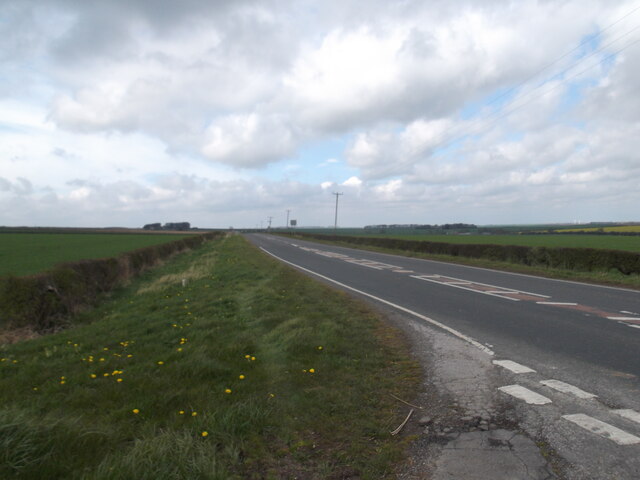
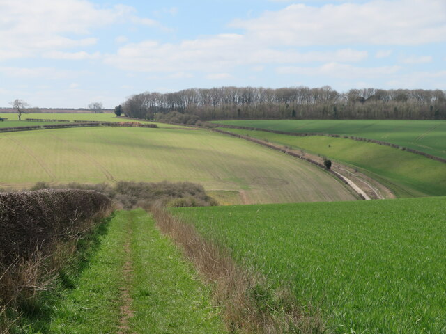
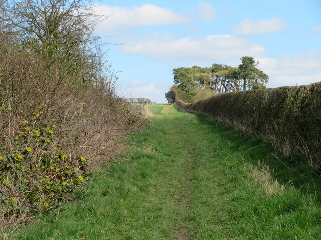
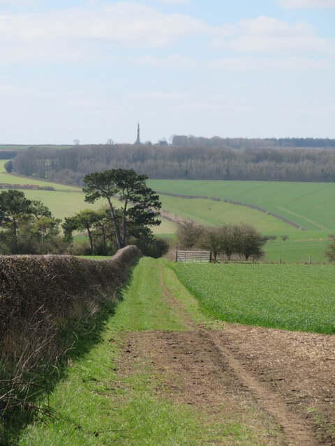
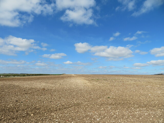
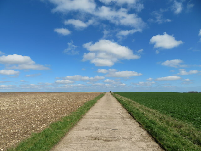
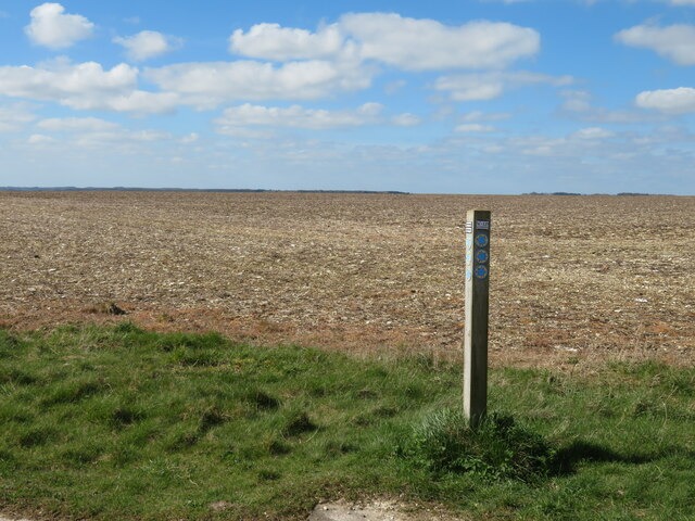
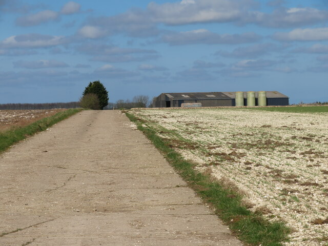
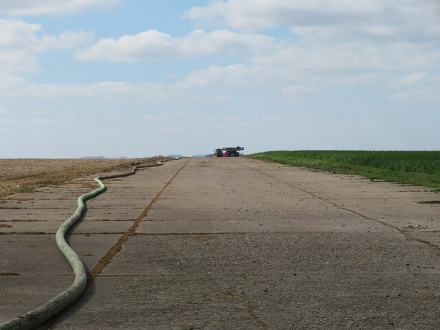
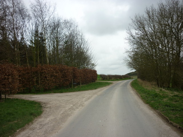
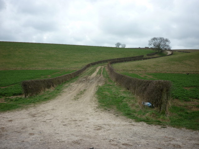
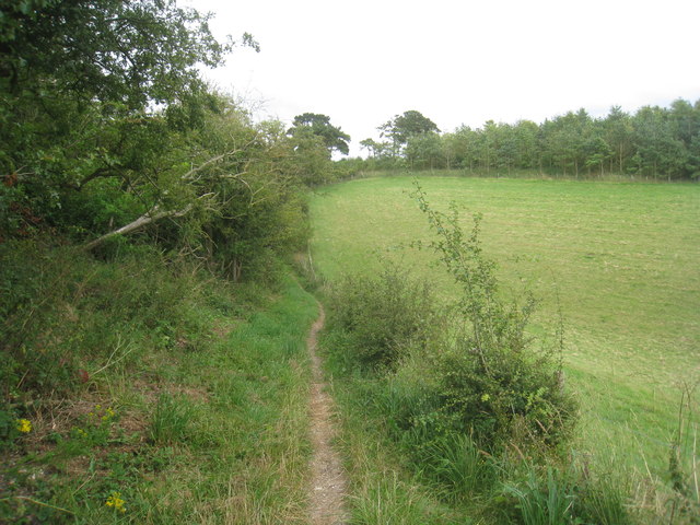
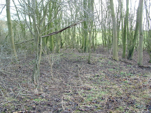
The village is known for its picturesque countryside and tranquil atmosphere. Surrounded by rolling hills, lush green fields, and scattered woodland, Cottam Warren offers stunning views and a peaceful environment for its residents. The East Yorkshire Wolds, an Area of Outstanding Natural Beauty, is easily accessible from the village, providing ample opportunities for outdoor activities such as hiking, cycling, and birdwatching.
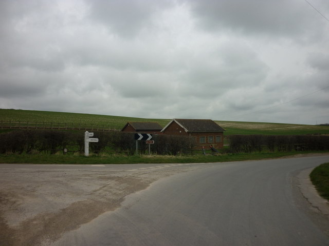
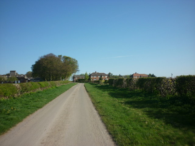
Cottam Warren has a small population, with a close-knit community that takes pride in maintaining the village's charm and character. The village is primarily residential, consisting of traditional cottages and farmhouses, many of which date back several centuries. There are no significant commercial establishments or amenities within the village itself, but the nearby town of Driffield provides all the necessary services, including shops, schools, and healthcare facilities.
The village is well-connected by road, with the A614 passing nearby, allowing easy access to neighboring towns and cities. The closest railway station is in Nafferton, providing convenient transport links to larger cities such as Hull and York.
Overall, Cottam Warren offers a peaceful countryside retreat, ideal for those seeking a quiet and idyllic lifestyle amidst the natural beauty of Yorkshire.
If you have any feedback on the listing, please let us know in the comments section below.
Cottam Warren Images
Images are sourced within 2km of 54.051268/-0.47868395 or Grid Reference SE9962. Thanks to Geograph Open Source API. All images are credited.

Cottam Warren is located at Grid Ref: SE9962 (Lat: 54.051268, Lng: -0.47868395)
Division: East Riding
Unitary Authority: East Riding of Yorkshire
Police Authority: Humberside
What 3 Words
///forensic.fork.pave. Near Driffield, East Yorkshire
Nearby Locations
Related Wikis

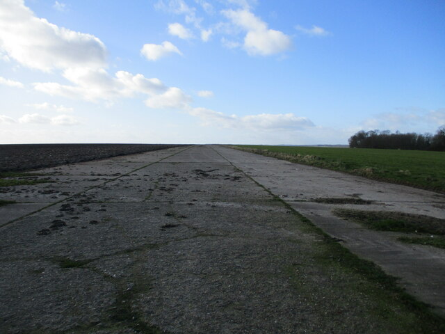
RAF Cottam
Royal Air Force Cottam or more simply RAF Cottam is a former Royal Air Force satellite airfield near Cottam in the East Riding of Yorkshire, England and...

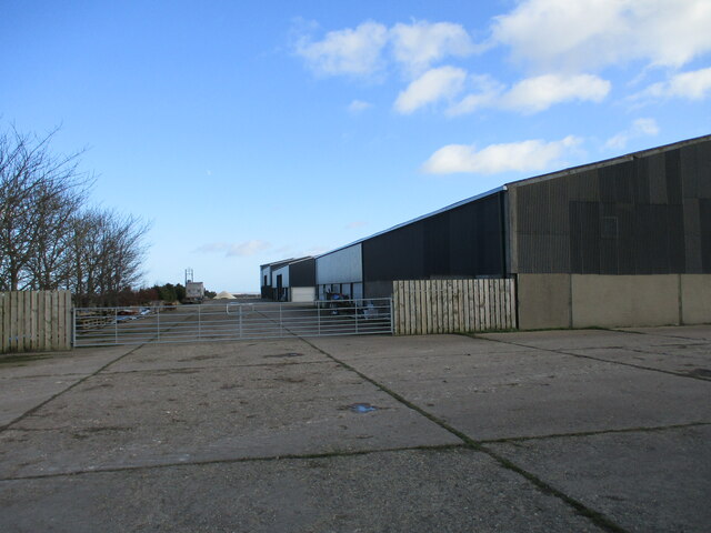
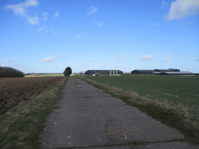
Cottam, East Riding of Yorkshire
Cottam is a hamlet and civil parish in the East Riding of Yorkshire, England. The hamlet is west of the B1249 Skipsea to Staxton road, and in the Yorkshire...
Danes Graves
Danes Graves is an archaeological site in the East Riding of Yorkshire. It forms part of the Arras Culture of inhumation and chariot burial prevalent in...

East Yorkshire (district)
The Borough of East Yorkshire was one of nine local government districts of the county of Humberside, England, from 1 April 1974 to 1 April 1996. The district...
Nearby Amenities
Located within 500m of 54.051268,-0.47868395Have you been to Cottam Warren?
Leave your review of Cottam Warren below (or comments, questions and feedback).