West Ayton Carr

Downs, Moorland in Yorkshire Scarborough

England

West Ayton Carr

Track into Causeway Plantations
Track into Causeway Plantations Credit: John Slater

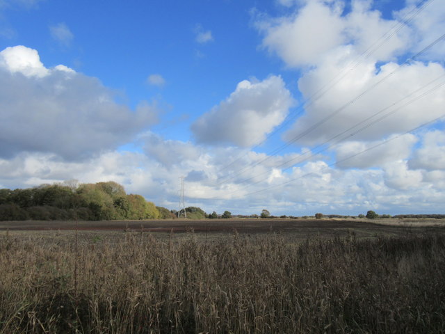
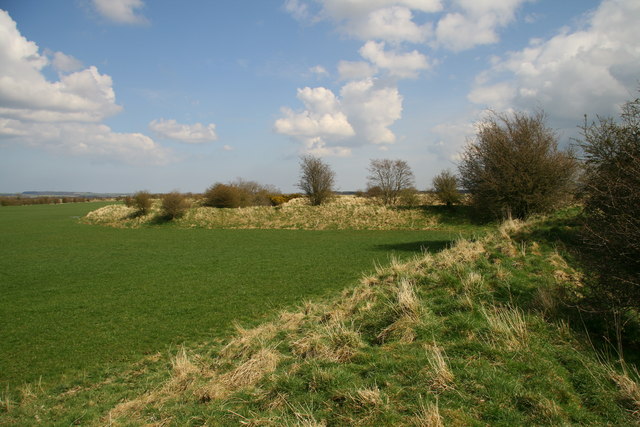
West Ayton Carr is a picturesque nature reserve located in Yorkshire, England. The area is characterized by its diverse landscape, which includes downs, moorland, and wetland habitats. The reserve is home to a wide variety of plant and animal species, making it a popular destination for nature enthusiasts and wildlife photographers.

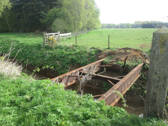
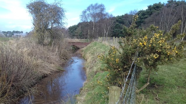
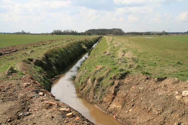
The downs in West Ayton Carr are covered in grasses and wildflowers, creating a vibrant and colorful landscape during the spring and summer months. The moorland areas are dotted with heather and gorse, providing a stunning backdrop for hikers and birdwatchers. The wetlands in the reserve are teeming with birdlife, including ducks, herons, and wading birds.

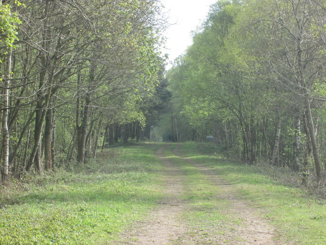
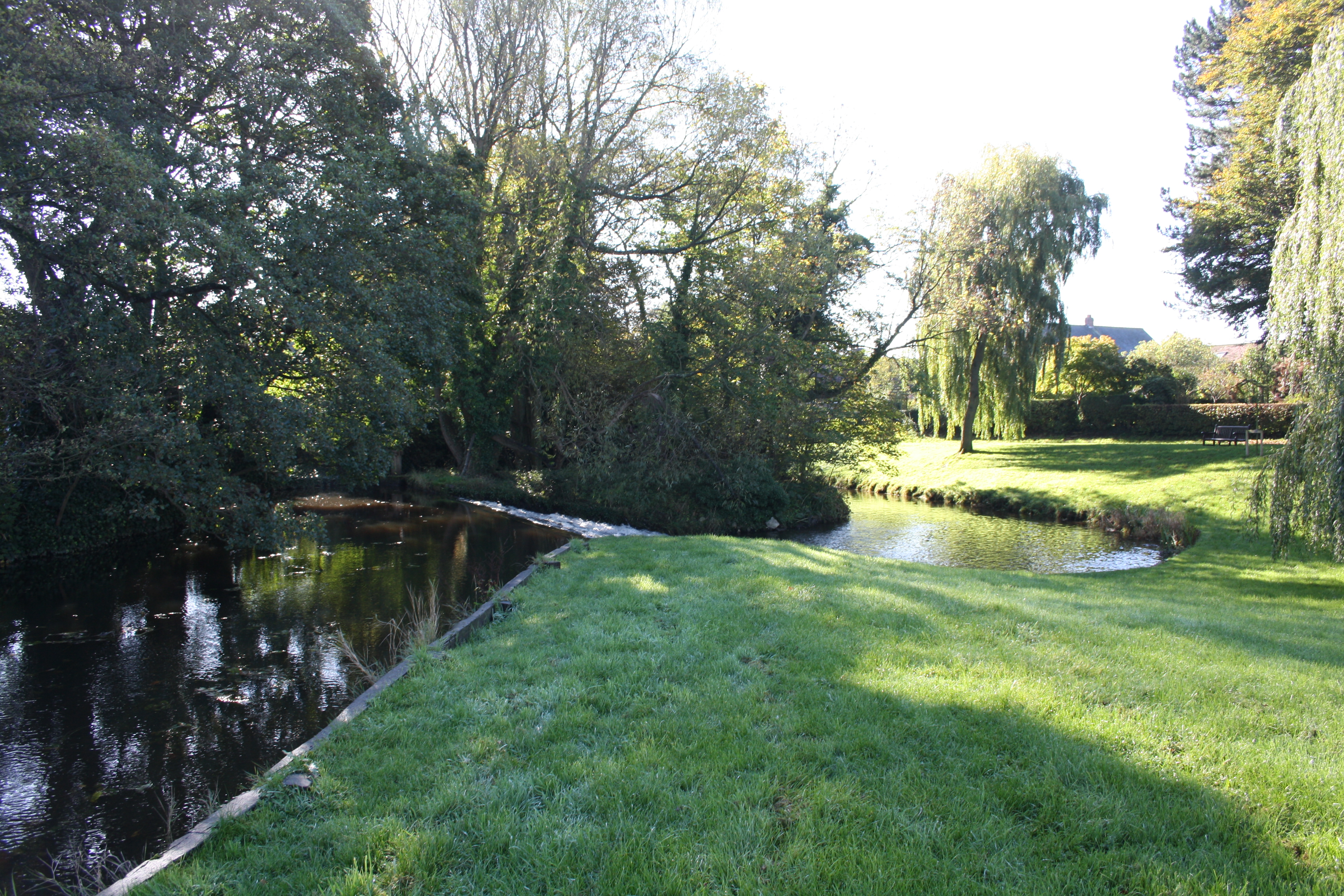
Visitors to West Ayton Carr can enjoy a network of walking trails that wind through the different habitats, offering opportunities to observe the local flora and fauna up close. The reserve is also home to a variety of rare and protected species, making it an important conservation area in Yorkshire. Overall, West Ayton Carr is a beautiful and diverse natural area that offers visitors a chance to connect with nature and explore the unique landscapes of Yorkshire.

If you have any feedback on the listing, please let us know in the comments section below.

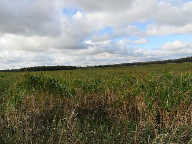
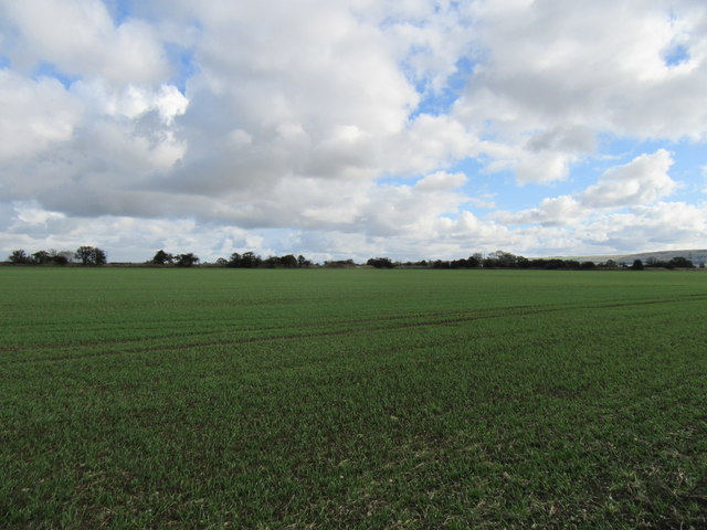
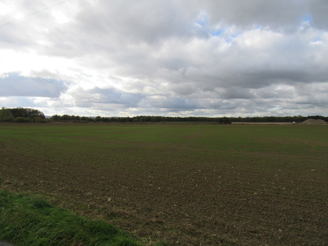
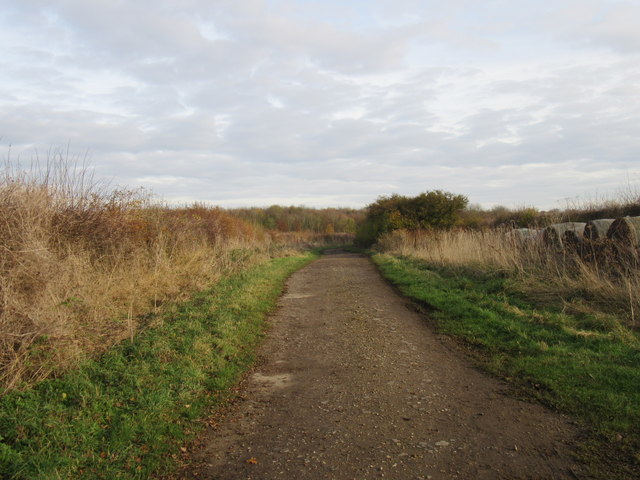
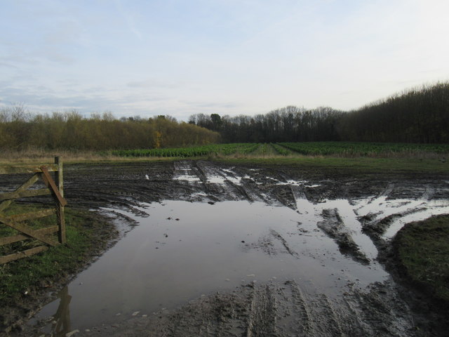
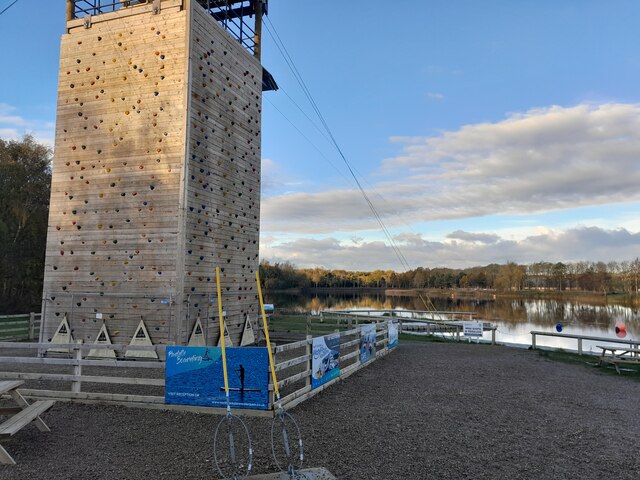
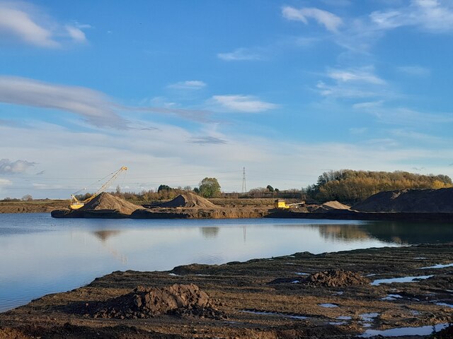
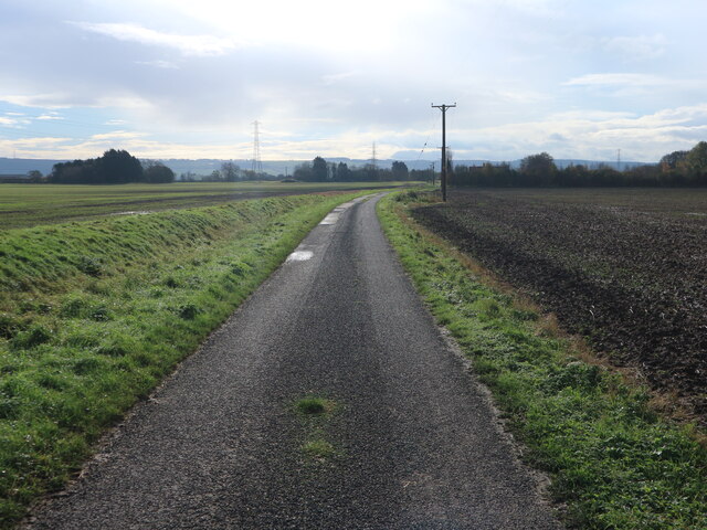
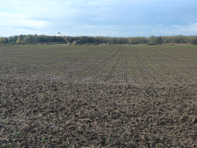
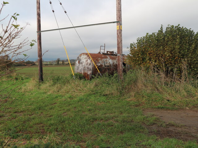
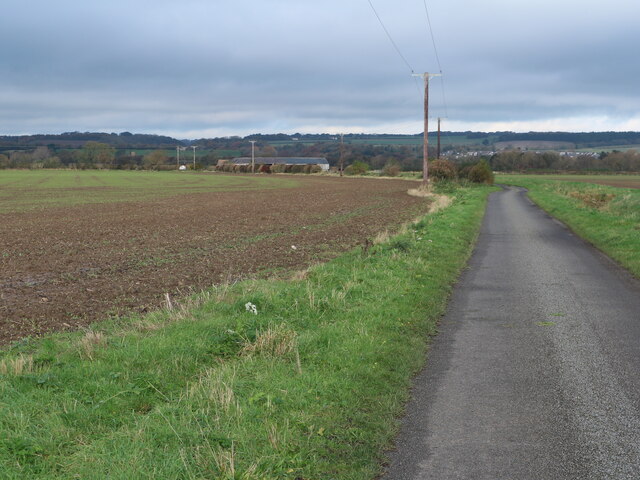
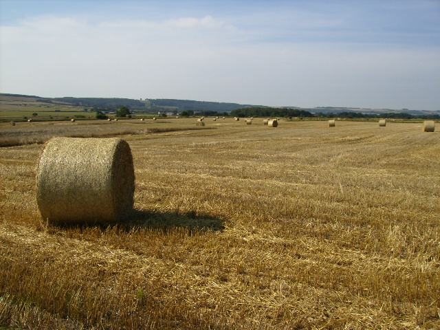
West Ayton Carr Images

Images are sourced within 2km of 54.221414/-0.48041184 or Grid Reference SE9981. Thanks to Geograph Open Source API. All images are credited.

Track into Causeway Plantations
Bridge (of sorts) over Black Dike Drain
Disused bridge over Black Dike Drain The disused bridge is the theoretical crossing of Black Dike Drain by an unclassified road. The drain which feeds into the Head Dike shown in <a href="https://www.geograph.org.uk/photo/5703679">SE9779 : Looking along Head Dike</a> forms the boundary between the parishes of Wykeham on the left bank (in the direction of view) and Hutton Buscel on the right bank.
Disused bridge over Black Dike Drain
The disused bridge is the theoretical crossing of Black Dike Drain by an unclassified road. The drain which feeds into the Head Dike shown in SE9779 : Looking along Head Dike forms the boundary between the parishes of Wykeham on the left bank (in the direction of view) and Hutton Buscel on the right bank.
Hutton Buscel Carr Looking NE from the road.
Hutton Buscel Carr
Looking NE from the road.
Conyer Ings Viewed from Straights Lane.
Conyer Ings
Viewed from Straights Lane.
Preston Ings Looking SE from the track.
Preston Ings
Looking SE from the track.
Ings Closes Looking SW from Ings Lane.
Ings Closes
Looking SW from Ings Lane.
Tetherings Lane Looking east.
Tetherings Lane
Looking east.
Carr Hill Looking SE from Long Causeway Road.
Carr Hill
Looking SE from Long Causeway Road.
Zip wire and climbing wall at Wykeham Lakes North Yorkshire Water Park near Wykeham has been developed around lakes created as a result of gravel quarrying. This zip wire with associated climbing wall on the end tower is a relatively new (post 2021) feature. There is active gravel quarrying nearby shown in <a href="https://www.geograph.org.uk/photo/7644286">SE9982 : Gravel extraction, Wykeham</a>
Zip wire and climbing wall at Wykeham Lakes
North Yorkshire Water Park near Wykeham has been developed around lakes created as a result of gravel quarrying. This zip wire with associated climbing wall on the end tower is a relatively new (post 2021) feature. There is active gravel quarrying nearby shown in SE9982 : Gravel extraction, Wykeham
Gravel extraction, Wykeham This is a new area of quarrying at the area now known as Wykeham Lakes. The quarry is exploiting fluvio-glacial gravels laid down in the area of Lake Pickering which existed during the last glaciation. Because the water table is high the pits created rapidly become lakes which nearby have been converted to leisure use - see for example <a href="https://www.geograph.org.uk/photo/7644277">SE9882 : Zip wire and climbing wall at Wykeham Lakes</a>
Gravel extraction, Wykeham
This is a new area of quarrying at the area now known as Wykeham Lakes. The quarry is exploiting fluvio-glacial gravels laid down in the area of Lake Pickering which existed during the last glaciation. Because the water table is high the pits created rapidly become lakes which nearby have been converted to leisure use - see for example SE9882 : Zip wire and climbing wall at Wykeham Lakes
Looking south along Ings Road The photograph is taken from the 28 metre spot height. Ings Road runs south of the village of West Ayton into the low lying areas of land known as the Carrs or Ings. In this area each parish is long and thin in a north south direction so that they take in some Carr lands as well as upland to the north. The slight curve in the road is not so obvious on the OS map.
Looking south along Ings Road
The photograph is taken from the 28 metre spot height. Ings Road runs south of the village of West Ayton into the low lying areas of land known as the Carrs or Ings. In this area each parish is long and thin in a north south direction so that they take in some Carr lands as well as upland to the north. The slight curve in the road is not so obvious on the OS map.
Recently sown land Taken from the 28 metre spot height on Ings Road, the photograph shows the flat agricultural landscape characteristic of this area. This field has recently been sown. In the background is the dragline excavator working the gravel at Wykeham Lakes which can also be seen in <a href="https://www.geograph.org.uk/photo/7644286">SE9982 : Gravel extraction, Wykeham</a>
Recently sown land
Taken from the 28 metre spot height on Ings Road, the photograph shows the flat agricultural landscape characteristic of this area. This field has recently been sown. In the background is the dragline excavator working the gravel at Wykeham Lakes which can also be seen in SE9982 : Gravel extraction, Wykeham
Old railway tanker wagon An old railway tanker wagon lying in the corner of a field and slowly rotting away
Old railway tanker wagon
An old railway tanker wagon lying in the corner of a field and slowly rotting away
View along Ings Road The agricultural landscape along Ings Road south of West Ayton village. In the middle distance is a field barn and to the left of that, between two electricity poles can be seen the end of the old railway tanker wagon seen in <a href="https://www.geograph.org.uk/photo/7644951">SE9983 : Old railway tanker wagon</a>.
View along Ings Road
The agricultural landscape along Ings Road south of West Ayton village. In the middle distance is a field barn and to the left of that, between two electricity poles can be seen the end of the old railway tanker wagon seen in SE9983 : Old railway tanker wagon.
Harvested fields at Binnington Carr
River Derwent Flood Defences Flood defences protecting farmland at Binnington Carr
River Derwent Flood Defences
Flood defences protecting farmland at Binnington Carr
Farmland Drainage Ditch The official footpath is cut at this point but the channel can be crossed by a "plank" a few metres away.
Farmland Drainage Ditch
The official footpath is cut at this point but the channel can be crossed by a "plank" a few metres away.
Show me another place!

West Ayton Carr is located at Grid Ref: SE9981 (Lat: 54.221414, Lng: -0.48041184)

Division: North Riding

Administrative County: North Yorkshire

District: Scarborough

Police Authority: North Yorkshire

What 3 Words

///slick.dustbin.aspect. Near East Ayton, North Yorkshire

Nearby Locations

West Ayton Carr

Related Wikis

Wykeham Priory

Wykeham Priory was a nunnery in Wykeham, North Yorkshire, England. It was established between 1140 and 1160 and was destroyed by fire during the reign...

West Ayton

West Ayton is a village and civil parish in the Scarborough district of North Yorkshire, England. Located upon the west bank of the River Derwent adjacent...

Forge Valley railway station

Forge Valley railway station was situated on the North Eastern Railway's Pickering to Seamer branch line. It served the twin villages of East and West...

River Hertford

The River Hertford is a river in Yorkshire in the north of England. It is part of the River Derwent catchment area. The River Hertford starts close to...

Nearby Amenities

Located within 500m of 54.221414,-0.48041184
Power: tower
Lat/Long: 54.2204479/-0.4857803
Power: tower
Lat/Long: 54.2247759/-0.4763604
Power: tower
Lat/Long: 54.2227252/-0.4808043
The data included in this document is from www.openstreetmap.org. The data is made available under ODbL.

Have you been to West Ayton Carr?

Leave your review of West Ayton Carr below (or comments, questions and feedback).