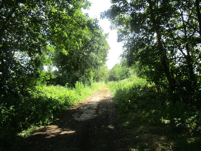
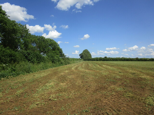
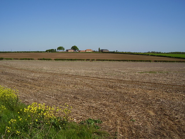
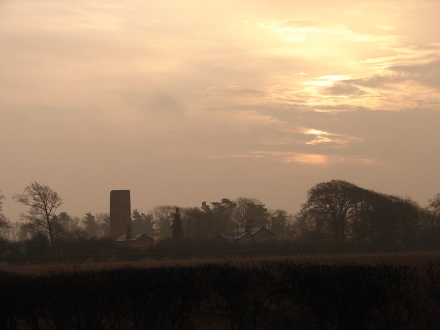
Harmston Heath
Downs, Moorland in Lincolnshire North Kesteven
England
Harmston Heath
The requested URL returned error: 429 Too Many Requests
If you have any feedback on the listing, please let us know in the comments section below.
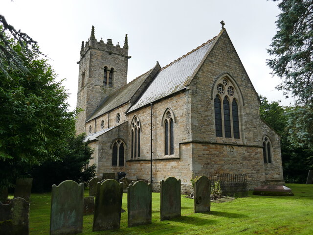
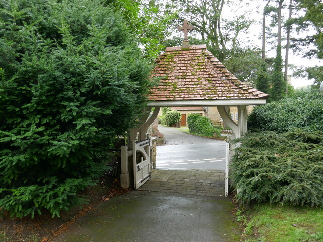
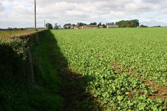
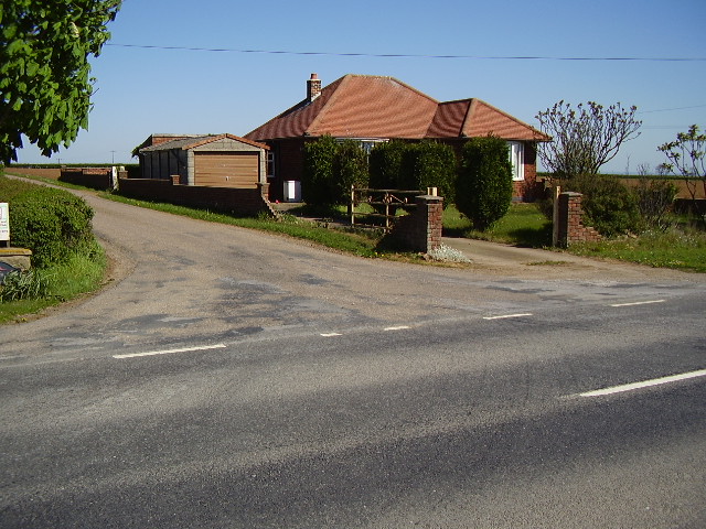
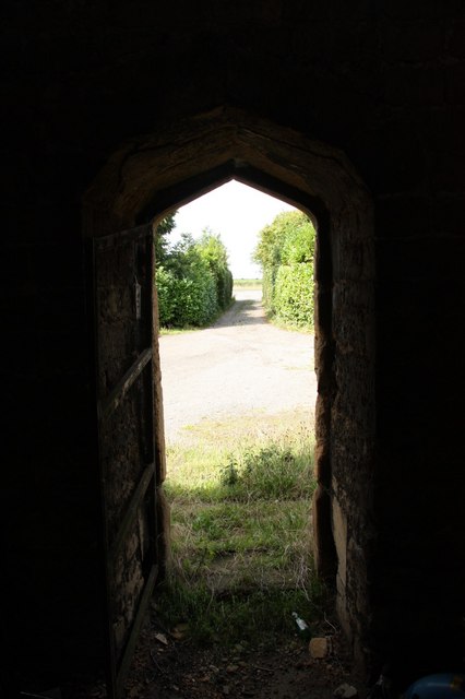
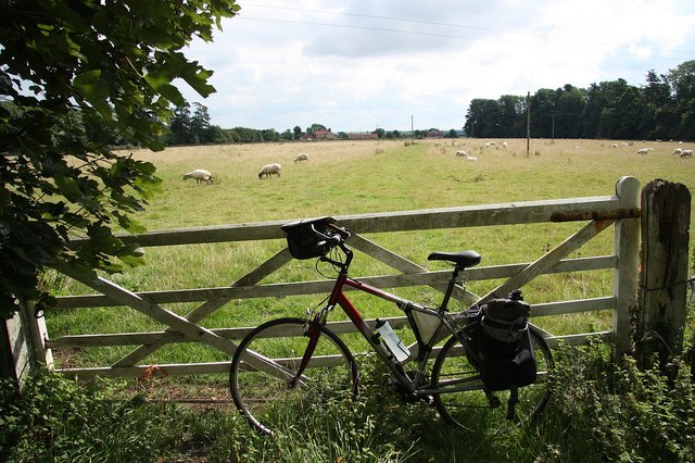
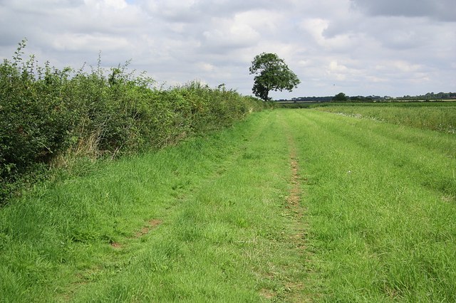
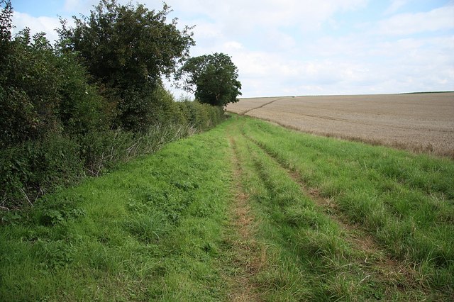
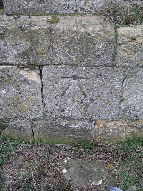
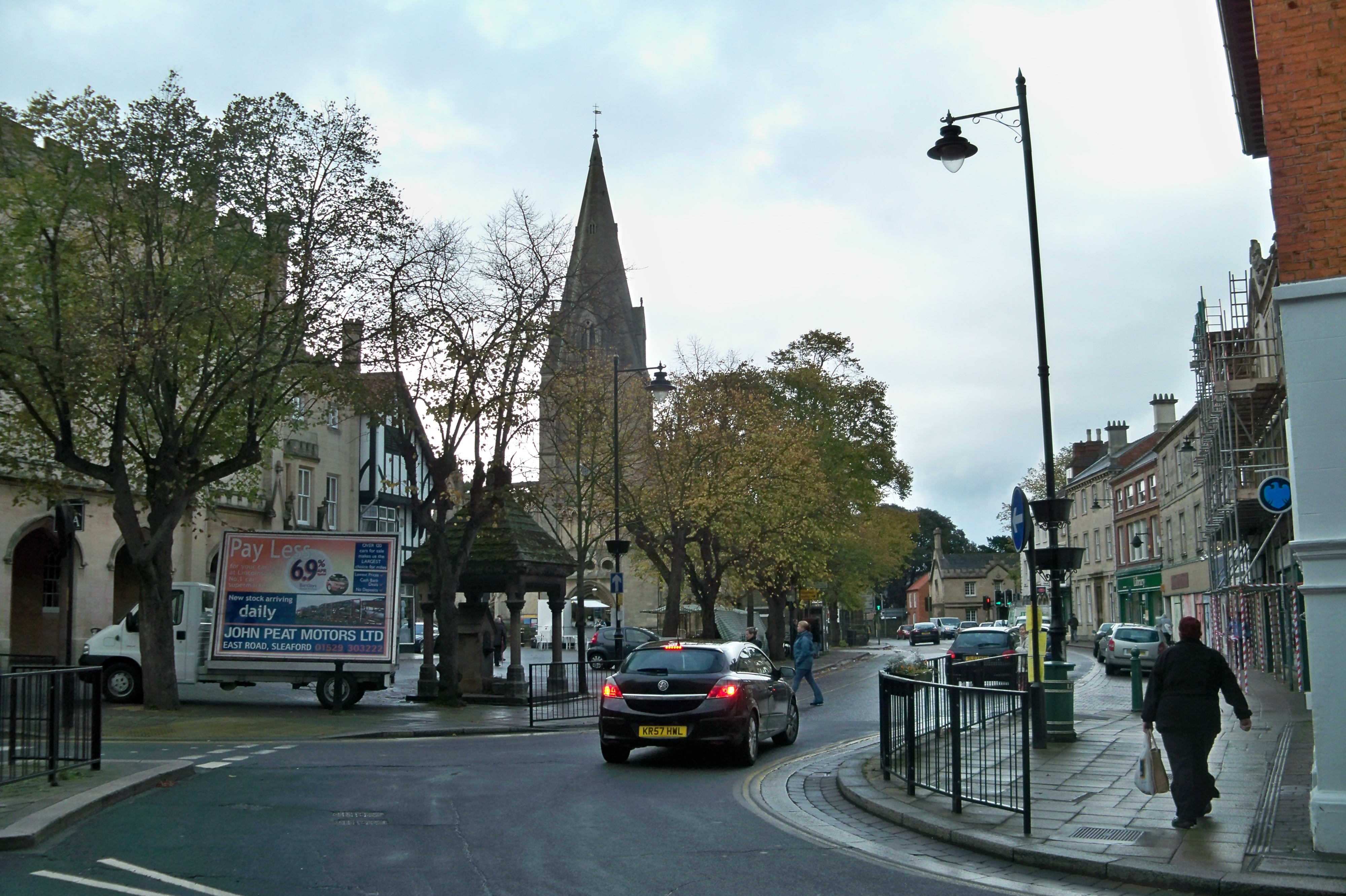
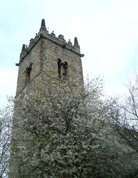
Harmston Heath Images
Images are sourced within 2km of 53.151034/-0.51839317 or Grid Reference SK9962. Thanks to Geograph Open Source API. All images are credited.

Harmston Heath is located at Grid Ref: SK9962 (Lat: 53.151034, Lng: -0.51839317)
Administrative County: Lincolnshire
District: North Kesteven
Police Authority: Lincolnshire
What 3 Words
///dumplings.inferior.mops. Near Waddington, Lincolnshire
Nearby Locations
Related Wikis
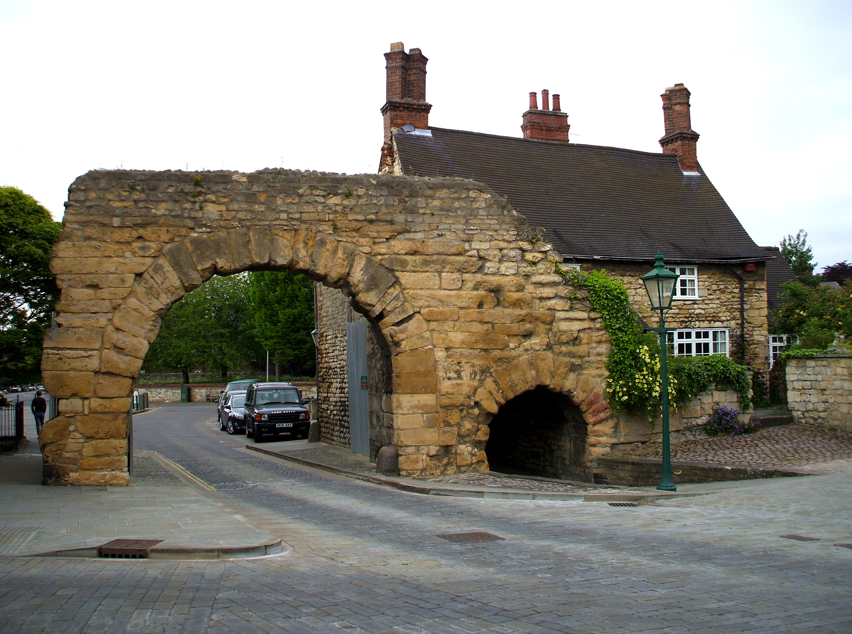
Ermine Street
Ermine Street is a major Roman road in England that ran from London (Londinium) to Lincoln (Lindum Colonia) and York (Eboracum). The Old English name...
North Kesteven
North Kesteven is a local government district in Lincolnshire, England. The council is based in Sleaford. The district also contains the town of North...
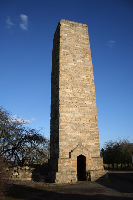
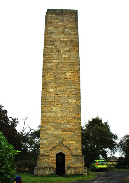
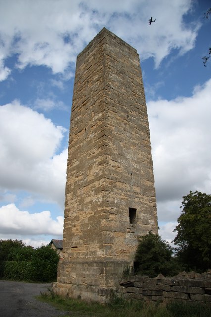
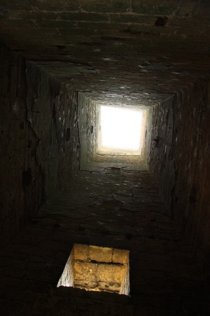
Dunston Pillar
Dunston Pillar is a Grade II listed stone tower in Lincolnshire, England and a former 'land lighthouse'. It stands beside the A15 road approximately 6...
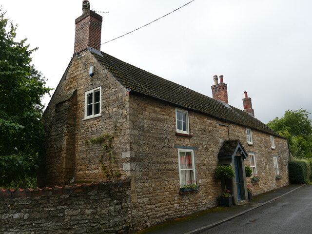
Harmston
Harmston is a village and civil parish in the North Kesteven district of Lincolnshire, England. It is situated just west off the A607, and 5 miles (8 km...
Related Videos

Red Arrows Garden in Waddington
We decided to take a walk around Waddington on the outskirts of Lincoln, in the woodlands just below RAF Waddington.
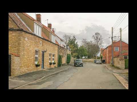
Take Four Trips Back in Time in Waddington Lincolnshire
Today we take a rare trip outside the city of Lincoln, but it is pretty much joined to the city these days. Waddington is a village and ...

Coleby Downhill Challenge 2022 #shorts
2022 Coleby Soapbox challenge short. #shorts.

Watch The Belgian F16s Taxi to its Parking Spot in Breathtaking Sunset! during Cobra Warrior
Watch The Belgian F16s Taxi to its Parking Spot in Breathtaking Sunset! during Cobra Warrior #aviationinaction #cobrawarrior ...
Nearby Amenities
Located within 500m of 53.151034,-0.51839317Have you been to Harmston Heath?
Leave your review of Harmston Heath below (or comments, questions and feedback).