Binsted Park

Downs, Moorland in Sussex Arun

England

Binsted Park

Path in Slindon Woods
Path in Slindon Woods Credit: PAUL FARMER

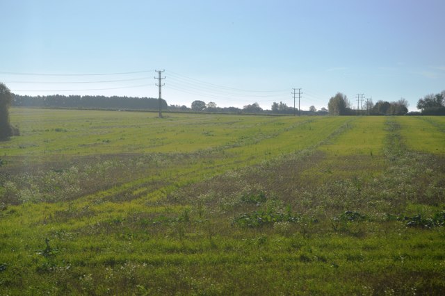
Binsted Park is a picturesque natural reserve located in the county of Sussex, England. It is situated in the heart of the South Downs, which is a range of chalk hills stretching across the southern counties of England. The park covers an area of approximately 200 acres and is known for its diverse landscapes, including downs and moorland.

The park boasts a rich history, with evidence of human settlement dating back to the Bronze Age. It has also been a site of agricultural activity for centuries, as indicated by the presence of medieval ridge and furrow patterns. Today, the park is managed by a local conservation trust, which endeavours to preserve its natural beauty and protect the wildlife that inhabits the area.

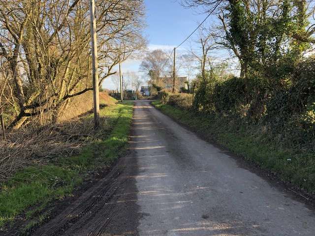
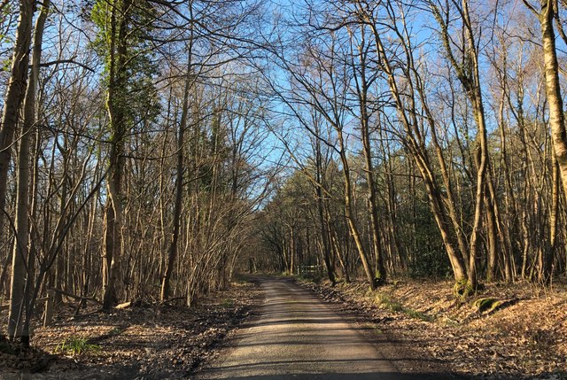
Binsted Park offers visitors a chance to explore its stunning landscapes through a network of well-maintained footpaths and bridleways. Visitors can take leisurely walks along the rolling downs, enjoying panoramic views of the surrounding countryside. The park is also home to a variety of plant and animal species, including rare orchids and several species of butterflies.

Aside from its natural beauty, Binsted Park is well-known for its tranquillity and peaceful atmosphere, making it a popular destination for those seeking a break from the hustle and bustle of everyday life. Its location, nestled amidst the South Downs, provides a sense of seclusion and an opportunity to connect with nature.

Overall, Binsted Park in Sussex is a haven for nature enthusiasts and offers a unique combination of downs and moorland landscapes, rich history, and abundant wildlife. It is a place that allows visitors to immerse themselves in the beauty and serenity of the Sussex countryside.

If you have any feedback on the listing, please let us know in the comments section below.

Binsted Park Images

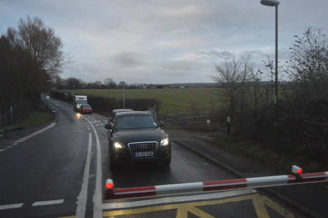
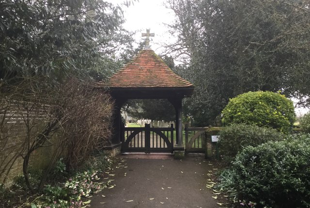
Images are sourced within 2km of 50.845048/-0.59392842 or Grid Reference SU9906. Thanks to Geograph Open Source API. All images are credited.

Path in Slindon Woods
B2132, Yapton Lane The B2132 rus 6 miles across Sussex from Felpham to Slindon.
<span class="nowrap"><a title="http://www.sabre-roads.org.uk/wiki/index.php?title=B2132" rel="nofollow ugc noopener" href="http://www.sabre-roads.org.uk/wiki/index.php?title=B2132">Link</a><img style="margin-left:2px;" alt="External link" title="External link - shift click to open in new window" src="https://s1.geograph.org.uk/img/external.png" width="10" height="10"/></span>
B2132, Yapton Lane
The B2132 rus 6 miles across Sussex from Felpham to Slindon. LinkExternal link
Decoy Wood in winter
Footbridge north of Wicks Farm On the footpath to Goose Green.
Footbridge north of Wicks Farm
On the footpath to Goose Green.
The Garden Lodge The Garden Lodge Conference Centre at Avisford Park.
The Garden Lodge
The Garden Lodge Conference Centre at Avisford Park.
Entrance to Walberton Church The Lych Gate Entrance to the Church.
Entrance to Walberton Church
The Lych Gate Entrance to the Church.
Approaching the A27 On Binsted Lane, beside Brickkiln Copse, heading northwards to the A27.
Approaching the A27
On Binsted Lane, beside Brickkiln Copse, heading northwards to the A27.
Old Flint Barn The barn at Binsted Nursery.
Old Flint Barn
The barn at Binsted Nursery.
Binsted Lane On Binsted Lane just south of Binsted Nursery.
Binsted Lane
On Binsted Lane just south of Binsted Nursery.
Approaching Slate Barn Farm On Binsted Lane nearing the farm on the corner of the lane.
Approaching Slate Barn Farm
On Binsted Lane nearing the farm on the corner of the lane.
Binsted Church St Mary’s Church in Binsted.
Binsted Church
St Mary’s Church in Binsted.
Binsted Lane Heading towards Binsted Park.
Binsted Lane
Heading towards Binsted Park.
Rough grassland
Rough grassland
Rough grassland and pylons
B2132 turning, A27 The A27 runs 103 miles from Whiteparish near Salisbury to Pevensey near Eastbourne. It runs parallel with the south coast and the South Downs. <span class="nowrap"><a title="http://www.sabre-roads.org.uk/wiki/index.php?title=A27" rel="nofollow ugc noopener" href="http://www.sabre-roads.org.uk/wiki/index.php?title=A27">Link</a><img style="margin-left:2px;" alt="External link" title="External link - shift click to open in new window" src="https://s1.geograph.org.uk/img/external.png" width="10" height="10"/></span>
B2132 turning, A27
The A27 runs 103 miles from Whiteparish near Salisbury to Pevensey near Eastbourne. It runs parallel with the south coast and the South Downs. LinkExternal link
A27, eastbound The A27 runs 103 miles from Whiteparish near Salisbury to Pevensey near Eastbourne. It runs parallel with the south coast and the South Downs. <span class="nowrap"><a title="http://www.sabre-roads.org.uk/wiki/index.php?title=A27" rel="nofollow ugc noopener" href="http://www.sabre-roads.org.uk/wiki/index.php?title=A27">Link</a><img style="margin-left:2px;" alt="External link" title="External link - shift click to open in new window" src="https://s1.geograph.org.uk/img/external.png" width="10" height="10"/></span>
A27, eastbound
The A27 runs 103 miles from Whiteparish near Salisbury to Pevensey near Eastbourne. It runs parallel with the south coast and the South Downs. LinkExternal link
B2132 The B2132 rus 6 miles across Sussex from Felpham to Slindon.
<span class="nowrap"><a title="http://www.sabre-roads.org.uk/wiki/index.php?title=B2132" rel="nofollow ugc noopener" href="http://www.sabre-roads.org.uk/wiki/index.php?title=B2132">Link</a><img style="margin-left:2px;" alt="External link" title="External link - shift click to open in new window" src="https://s1.geograph.org.uk/img/external.png" width="10" height="10"/></span>
B2132
The B2132 rus 6 miles across Sussex from Felpham to Slindon. LinkExternal link
Show me another place!

Binsted Park is located at Grid Ref: SU9906 (Lat: 50.845048, Lng: -0.59392842)

Administrative County: West Sussex

District: Arun

Police Authority: Sussex

What 3 Words

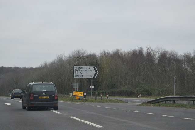
///spoon.intrigued.dominate. Near Walberton, West Sussex

Related Wikis

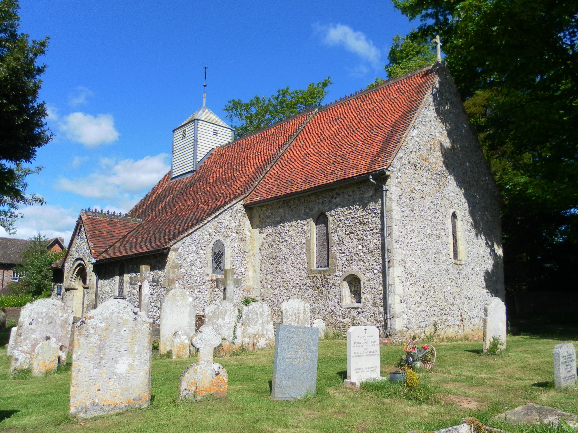
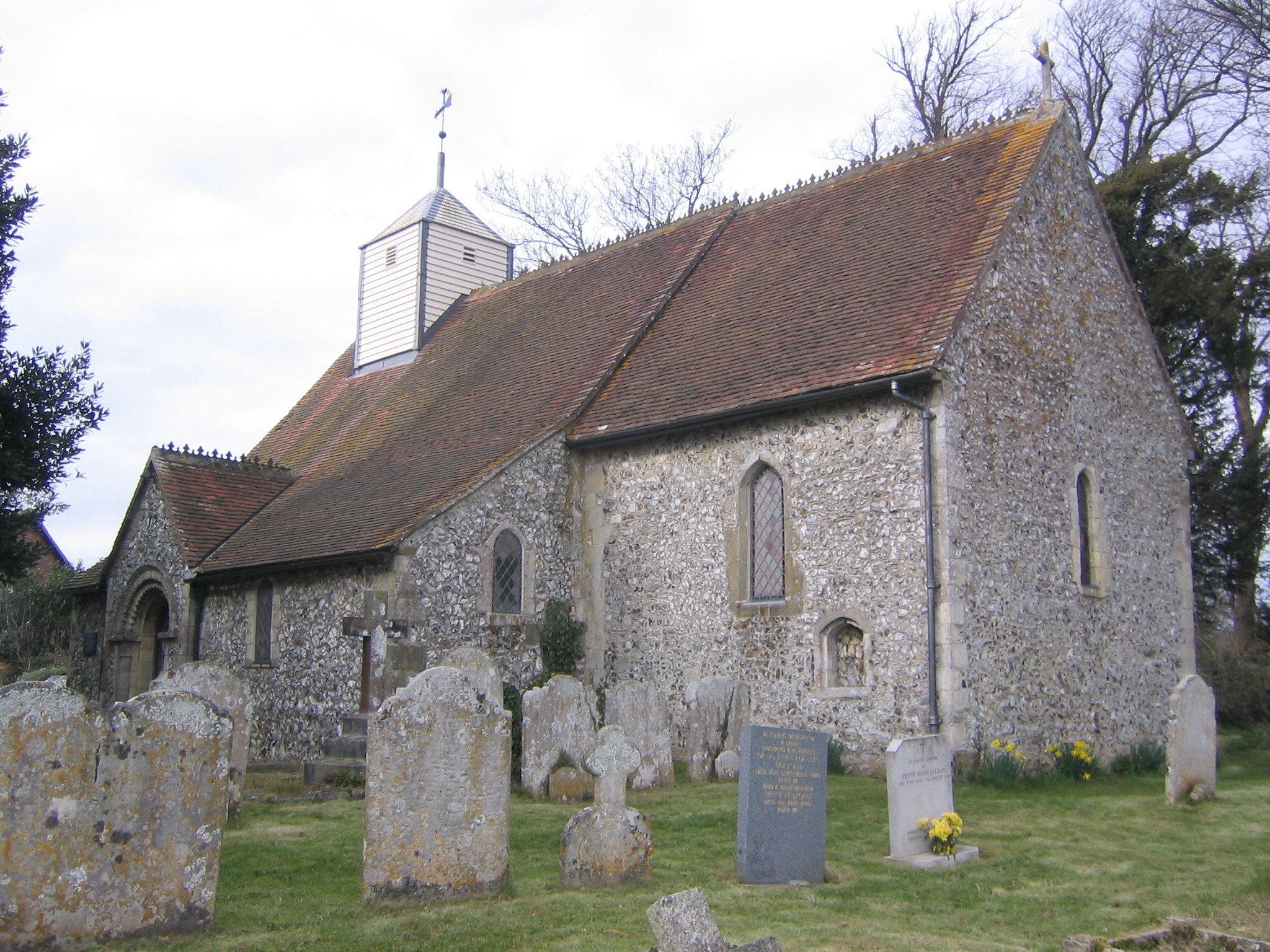
St Mary Magdalene's Church, Tortington

St Mary Magdalene's Church is the former Anglican parish church of the hamlet of Tortington in the district of Arun, one of seven local government districts...

Tortington

Tortington is a small village and former civil parish, now in the parish of Arundel, in the Arun district of West Sussex, England. It lies between the...
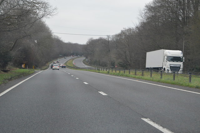
A27 road

The A27 is a major road in England. It runs from its junction with the A36 at Whiteparish (near Salisbury) in the county of Wiltshire, follows the south...

Walberton

Walberton is a village and civil parish in the Arun District of West Sussex, England, 5 miles (8 km) north-west of Littlehampton, and south of the A27...

St Mary's Church, Walberton

St Mary's Church is an Anglican church in the village of Walberton in the district of Arun, one of seven local government districts in the English county...

Ford railway station

Ford railway station is a railway station in Ford, West Sussex, England. It is located on the West Coastway Line which runs between Brighton and Southampton...

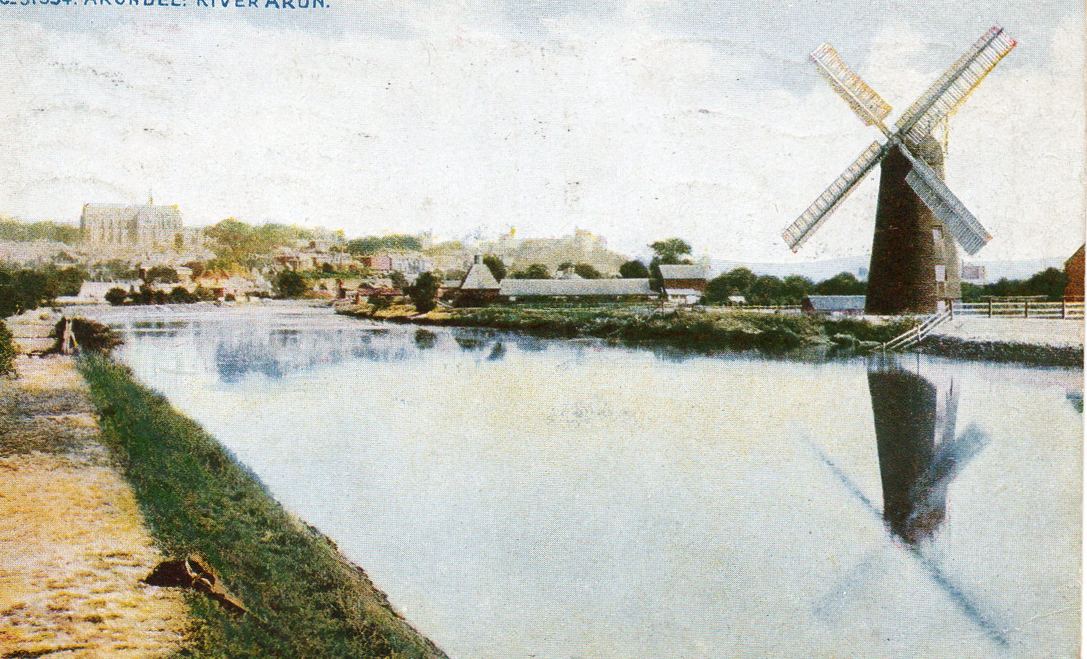
South Marsh Mill, Arundel

South Marsh Mill is a grade II listed tower mill at Arundel, Sussex, England which has been converted to residential use. == History == South Marsh Mill...

Arundel and District Hospital

Arundel and District Hospital is a health facility in Chichester Road, Arundel, West Sussex, England. It is managed by the Sussex Community NHS Foundation...

Have you been to Binsted Park?

Leave your review of Binsted Park below (or comments, questions and feedback).