Hampton park
Downs, Moorland in Surrey Guildford
England
Hampton park
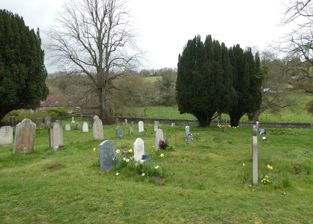
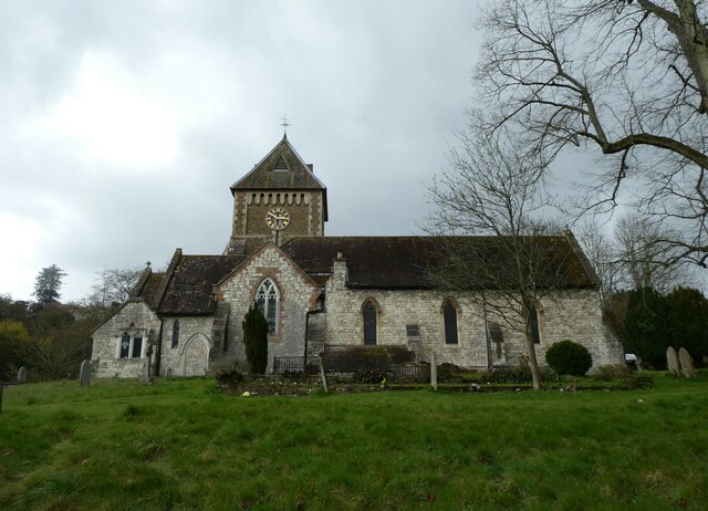
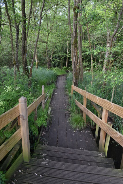
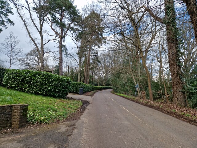
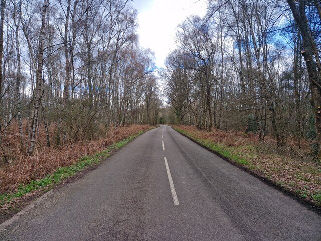
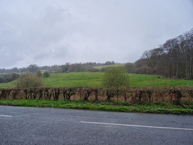
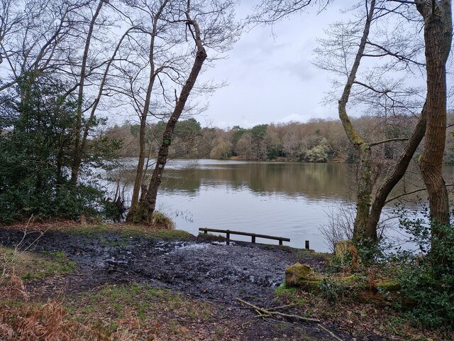
Hampton Park, located in Surrey, is a picturesque green space that encompasses beautiful downs and moorland landscapes. Spread over a considerable area, it provides a tranquil retreat for nature enthusiasts and those seeking outdoor activities.
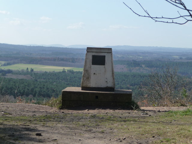
The park is characterized by its rolling downs, which offer stunning panoramic views of the surrounding countryside. With their lush green grass and gentle slopes, they are ideal for leisurely walks, picnics, or simply enjoying the fresh air while taking in the scenic beauty. The downs are also a popular spot for kite flying and outdoor games.
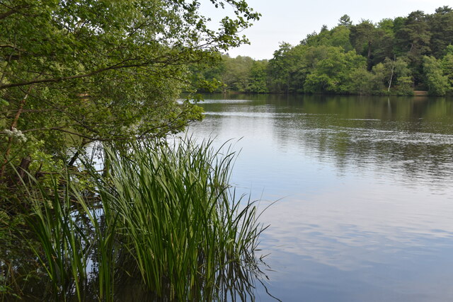
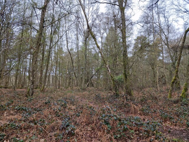
In addition to the downs, Hampton Park features expansive moorland areas. These wilder landscapes are covered in heather, gorse, and other native plants, creating a rich tapestry of colors throughout the year. The moorlands provide a habitat for a variety of wildlife, including birds, small mammals, and insects.
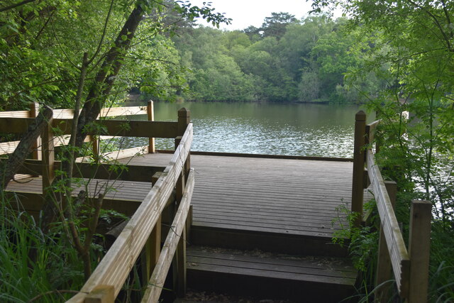
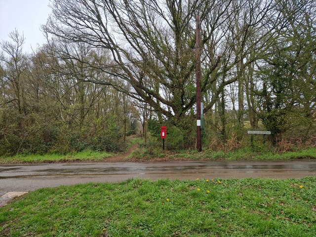
The park is well-maintained and offers several amenities for visitors. There are well-marked trails and paths, making it easy to explore the different areas of the park. Benches and picnic areas are scattered throughout, providing convenient spots to rest or enjoy a meal amidst the natural surroundings. Additionally, there are information boards that educate visitors about the park's flora, fauna, and history.
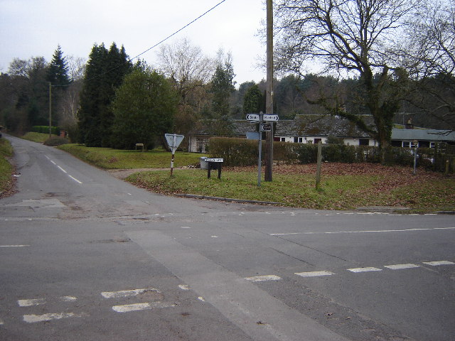
Hampton Park is also known for its accessibility. There are ample parking facilities, and the park is easily reached by public transportation. This makes it a popular destination for locals and tourists alike, who flock to the park to enjoy its tranquility and natural beauty.
Overall, Hampton Park in Surrey is a haven for nature lovers, offering a diverse range of landscapes, recreational opportunities, and a chance to connect with the great outdoors.
If you have any feedback on the listing, please let us know in the comments section below.
Hampton park Images
Images are sourced within 2km of 51.210986/-0.70658064 or Grid Reference SU9046. Thanks to Geograph Open Source API. All images are credited.


Hampton park is located at Grid Ref: SU9046 (Lat: 51.210986, Lng: -0.70658064)
Administrative County: Surrey
District: Guildford
Police Authority: Surrey
What 3 Words
///modem.judge.steps. Near Elstead, Surrey
Nearby Locations
Related Wikis

Puttenham and Crooksbury Commons
Puttenham and Crooksbury Commons is a 113.8-hectare (281-acre) biological Site of Special Scientific Interest between Farnham and Guildford in Surrey....
Seale and Sands
Seale and Sands is a civil parish in the Guildford District Council area of Surrey, England with a population of 887. The principal settlement is Seale...

Seale Chalk Pit
Seale Chalk Pit is a 1.2-hectare (3.0-acre) geological Site of Special Scientific Interest west of Guildford in Surrey. It is a Geological Conservation...

Thundry Meadows
Thundry Meadows is a 16-hectare (40-acre) nature reserve in Elstead in Surrey. It is managed by the Surrey Wildlife Trust. Part of it is Charleshill Site...
Crooksbury Hill
Crooksbury Hill is a 17.2-hectare (43-acre) nature reserve within Puttenham and Crooksbury Commons east of Farnham in Surrey. It is owned by Surrey County...

Charleshill SSSI
Charleshill SSSI is a 10.1-hectare (25-acre) biological Site of Special Scientific Interest west of Elstead in Surrey. It is part of Thundry Meadows nature...

Tongham F.C.
Tongham Football Club is a football club based in Tongham, near Farnham, Surrey, England. They play at the Recreation Ground, Poyle Road. Team Age Groups...

Elstead
Elstead is a civil parish in Surrey, England with shops, houses and cottages spanning the north and south sides of the River Wey; development is concentrated...
Nearby Amenities
Located within 500m of 51.210986,-0.70658064Have you been to Hampton park?
Leave your review of Hampton park below (or comments, questions and feedback).