Trout Pond
Lake, Pool, Pond, Freshwater Marsh in Surrey Guildford
England
Trout Pond
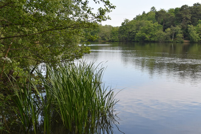
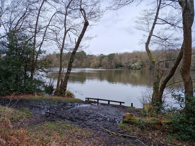
Trout Pond, located in Surrey, is a picturesque freshwater pond that attracts visitors with its serene beauty and abundant wildlife. Spanning an area of approximately 3 acres, the pond serves as a vital ecosystem supporting a variety of aquatic and terrestrial life.
Surrounded by lush vegetation and trees, Trout Pond provides a peaceful retreat for nature enthusiasts and offers a range of recreational activities. The crystal-clear water is home to a diverse population of fish, including trout, which has given the pond its name. Anglers can often be seen casting their lines in hopes of catching a prized fish.
The pond also serves as a habitat for various bird species, making it a popular spot for birdwatchers. Visitors may catch a glimpse of herons, ducks, and other waterfowl gracefully gliding across the pond's surface or perching on the branches of overhanging trees.
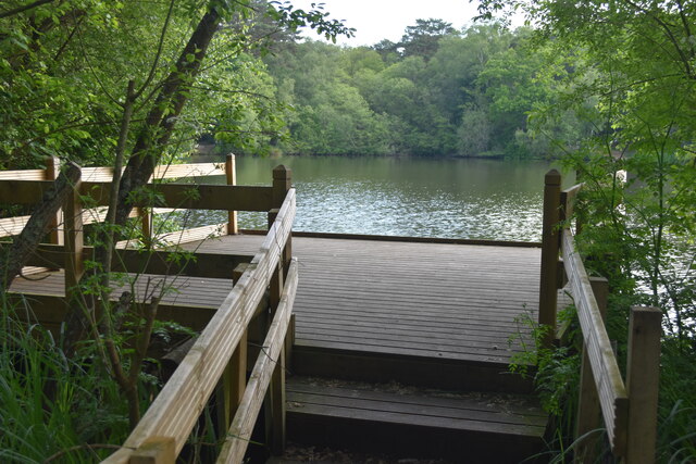
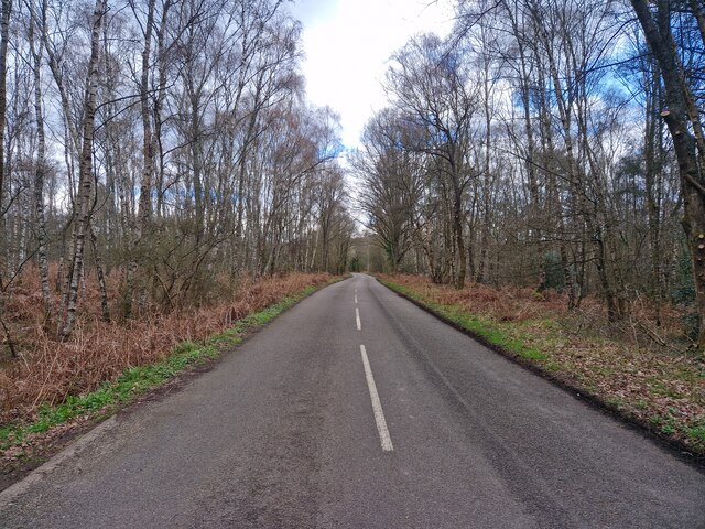
Trout Pond is not only a haven for wildlife but also a place for outdoor recreation. Families can enjoy picnicking by the water's edge or taking leisurely walks along the surrounding trails. The pond's calm waters are perfect for canoeing and kayaking, providing a unique perspective of the natural surroundings.
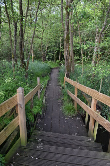
Furthermore, the pond is surrounded by a freshwater marsh, which acts as a filtering system, improving water quality and supporting a variety of wetland plants and animals. This marshland is an important breeding ground for amphibians and provides a habitat for numerous insects and small mammals.
Trout Pond in Surrey is a hidden gem, offering both tranquility and recreational opportunities for visitors of all ages. Whether one seeks a peaceful retreat or an outdoor adventure, this freshwater oasis provides an enchanting escape from the hustle and bustle of everyday life.
If you have any feedback on the listing, please let us know in the comments section below.
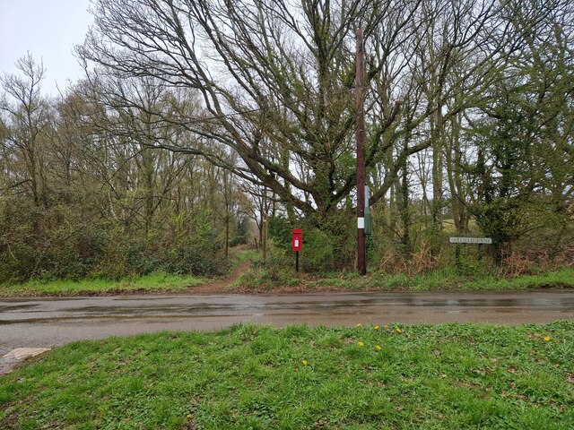
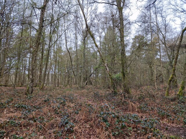
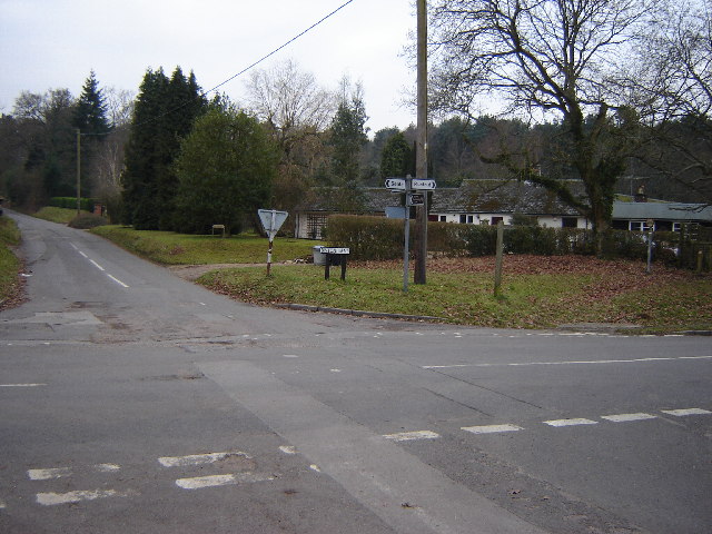
Trout Pond Images
Images are sourced within 2km of 51.213858/-0.6996421 or Grid Reference SU9046. Thanks to Geograph Open Source API. All images are credited.


Trout Pond is located at Grid Ref: SU9046 (Lat: 51.213858, Lng: -0.6996421)
Administrative County: Surrey
District: Guildford
Police Authority: Surrey
What 3 Words
///useful.pairings.snapping. Near Elstead, Surrey
Nearby Locations
Related Wikis

Puttenham and Crooksbury Commons
Puttenham and Crooksbury Commons is a 113.8-hectare (281-acre) biological Site of Special Scientific Interest between Farnham and Guildford in Surrey....

Seale Chalk Pit
Seale Chalk Pit is a 1.2-hectare (3.0-acre) geological Site of Special Scientific Interest west of Guildford in Surrey. It is a Geological Conservation...
Seale and Sands
Seale and Sands is a civil parish in the Guildford District Council area of Surrey, England with a population of 887. The principal settlement is Seale...

Puttenham, Surrey
Puttenham is a village in Surrey, England, located just south of the Hog's Back which is the narrowest stretch of the North Downs. Puttenham is about midway...

Seale, Surrey
Seale is a village in Surrey, England. Seale covers most of the civil parish of Seale and Sands and the steep slope and foot of the south side of the Hog...

Tongham F.C.
Tongham Football Club is a football club based in Tongham, near Farnham, Surrey, England. They play at the Recreation Ground, Poyle Road. Team Age Groups...

Thundry Meadows
Thundry Meadows is a 16-hectare (40-acre) nature reserve in Elstead in Surrey. It is managed by the Surrey Wildlife Trust. Part of it is Charleshill Site...

Tongham railway station
Tongham railway station was a railway station serving the village of Tongham, Guildford, Surrey in England which opened in 1856 and closed in 1937. �...
Nearby Amenities
Located within 500m of 51.213858,-0.6996421Have you been to Trout Pond?
Leave your review of Trout Pond below (or comments, questions and feedback).