Park Roughs
Wood, Forest in Surrey Guildford
England
Park Roughs
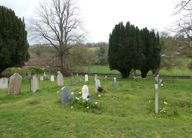
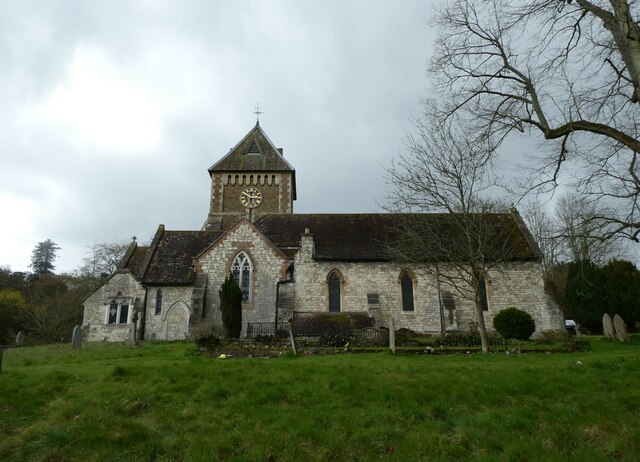
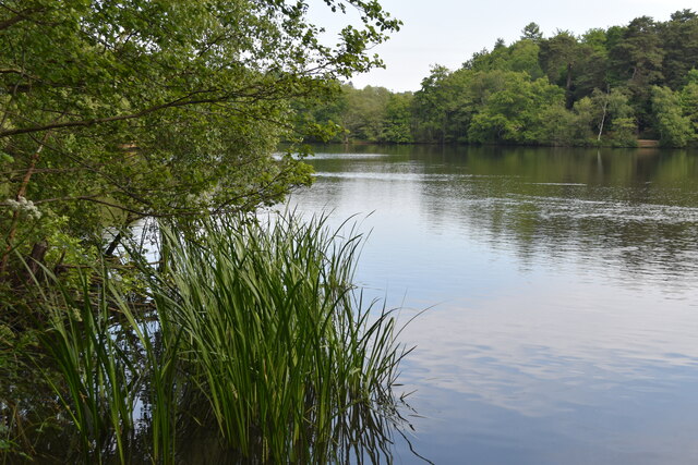
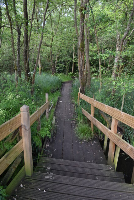
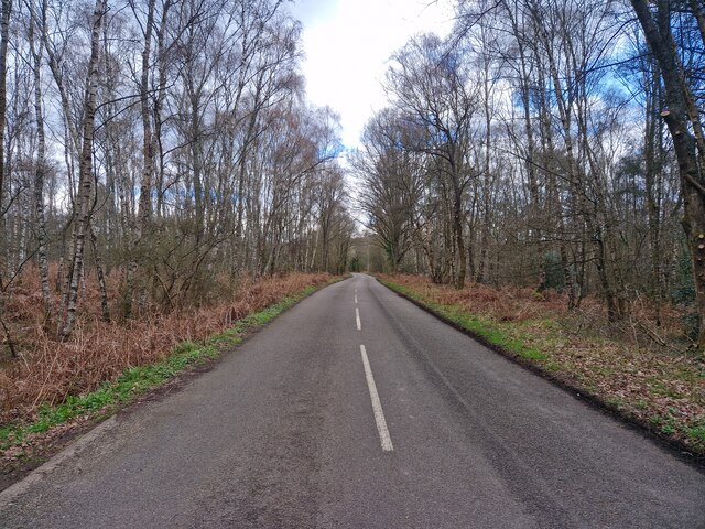
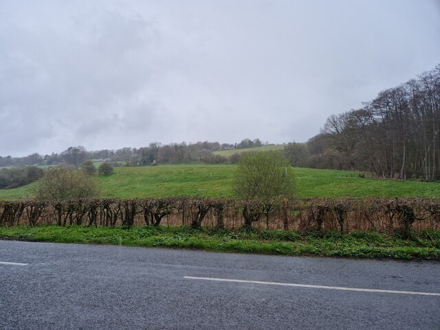
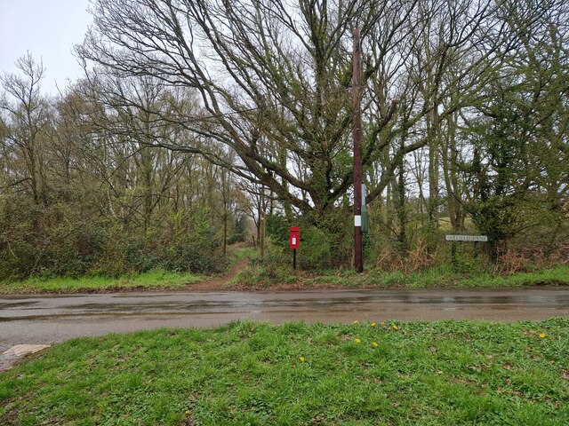
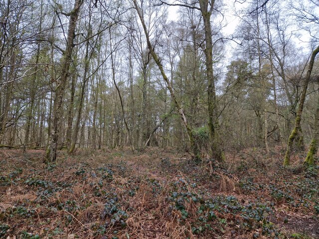
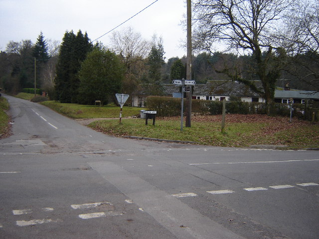
Park Roughs is a picturesque woodland area located in the county of Surrey, England. Situated near the village of Wood in the heart of Surrey Hills Area of Outstanding Natural Beauty, this forested area spans approximately 500 acres, offering visitors a tranquil escape from the hustle and bustle of urban life.
The woodland is characterized by its diverse range of tree species, including oak, beech, birch, and pine, creating a rich and vibrant ecosystem. Walking through Park Roughs, visitors will be greeted by a carpet of wildflowers, such as bluebells and primroses, which bloom in abundance during the spring months.
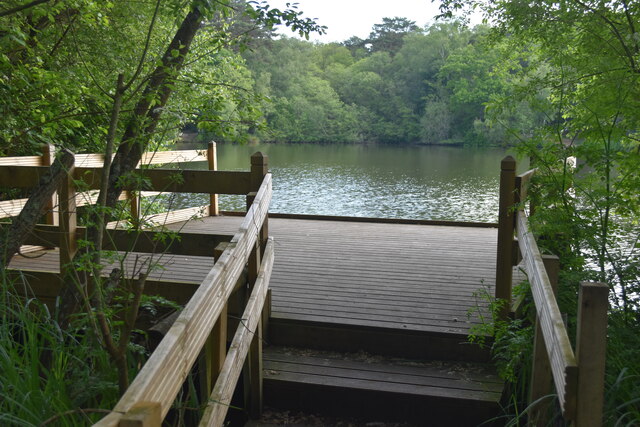
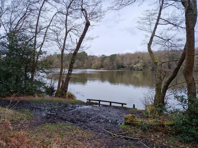
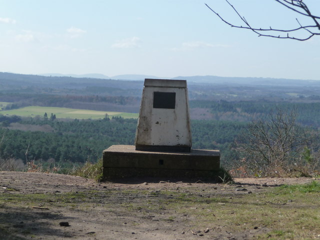
The forest is crisscrossed by a network of well-maintained trails, providing ample opportunities for hiking, jogging, and cycling. Nature enthusiasts will delight in the variety of wildlife that can be spotted in the area, including deer, squirrels, and a wide array of bird species. The tranquil atmosphere of Park Roughs also makes it an ideal spot for birdwatching and photography.
The woodland is managed by the local authorities, who ensure the preservation of its natural beauty while also providing amenities for visitors. These include picnic areas, benches, and information boards that educate visitors about the flora and fauna found within the forest.
Park Roughs is a popular destination for both locals and tourists seeking a peaceful and immersive nature experience. With its stunning scenery, abundant wildlife, and well-maintained trails, it is no wonder that this woodland area has become a beloved spot for outdoor enthusiasts and nature lovers alike.
If you have any feedback on the listing, please let us know in the comments section below.
Park Roughs Images
Images are sourced within 2km of 51.212432/-0.71050595 or Grid Reference SU9046. Thanks to Geograph Open Source API. All images are credited.


Park Roughs is located at Grid Ref: SU9046 (Lat: 51.212432, Lng: -0.71050595)
Administrative County: Surrey
District: Guildford
Police Authority: Surrey
What 3 Words
///lend.rips.ideal. Near Elstead, Surrey
Nearby Locations
Related Wikis
Seale and Sands
Seale and Sands is a civil parish in the Guildford District Council area of Surrey, England with a population of 887. The principal settlement is Seale...

Puttenham and Crooksbury Commons
Puttenham and Crooksbury Commons is a 113.8-hectare (281-acre) biological Site of Special Scientific Interest between Farnham and Guildford in Surrey....

Seale Chalk Pit
Seale Chalk Pit is a 1.2-hectare (3.0-acre) geological Site of Special Scientific Interest west of Guildford in Surrey. It is a Geological Conservation...
Crooksbury Hill
Crooksbury Hill is a 17.2-hectare (43-acre) nature reserve within Puttenham and Crooksbury Commons east of Farnham in Surrey. It is owned by Surrey County...

Tongham F.C.
Tongham Football Club is a football club based in Tongham, near Farnham, Surrey, England. They play at the Recreation Ground, Poyle Road. Team Age Groups...

Thundry Meadows
Thundry Meadows is a 16-hectare (40-acre) nature reserve in Elstead in Surrey. It is managed by the Surrey Wildlife Trust. Part of it is Charleshill Site...

Charleshill SSSI
Charleshill SSSI is a 10.1-hectare (25-acre) biological Site of Special Scientific Interest west of Elstead in Surrey. It is part of Thundry Meadows nature...

Tongham railway station
Tongham railway station was a railway station serving the village of Tongham, Guildford, Surrey in England which opened in 1856 and closed in 1937. �...
Nearby Amenities
Located within 500m of 51.212432,-0.71050595Have you been to Park Roughs?
Leave your review of Park Roughs below (or comments, questions and feedback).