Broughton Clays

Downs, Moorland in Lincolnshire North Kesteven

England

Broughton Clays

Bridleway towards Carlton le Moorland After a kilometre or so this bridleway becomes a footpath.
Bridleway towards Carlton le Moorland Credit: Jonathan Thacker

Broughton Clays is a small village located in the county of Lincolnshire, England. Situated in the heart of the Lincolnshire Wolds, it is surrounded by picturesque countryside, with rolling hills, downs, and moorland. The village is known for its tranquil and scenic environment, making it a popular destination for nature lovers and outdoor enthusiasts.

The downs of Broughton Clays are characterized by their expansive grassy slopes, which offer breathtaking views of the surrounding landscape. These downlands are home to a diverse range of flora and fauna, including wildflowers, butterflies, and various bird species. The area is often frequented by hikers and walkers who enjoy exploring the well-marked trails that meander through the downs.

In contrast, the moorland of Broughton Clays offers a different kind of beauty. Covered in heather and gorse, the moors provide a rugged and wild atmosphere. The moorland is known for its unique ecosystem, supporting a variety of plant and animal life, such as curlews, grouse, and rare orchids. It is also a favored spot for birdwatching, with many species of birds making their nests in this habitat.

Broughton Clays itself is a small, close-knit village with a friendly community. It boasts a few amenities such as a local pub and a village hall, where various events and gatherings take place throughout the year. The village is also within easy reach of larger towns and cities, offering residents the convenience of both rural living and access to urban facilities.

Overall, Broughton Clays is a hidden gem in Lincolnshire, offering visitors and residents alike the opportunity to immerse themselves in the natural beauty of the downs and moorland, while enjoying the peace and tranquility of village life.

If you have any feedback on the listing, please let us know in the comments section below.

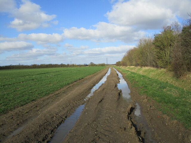
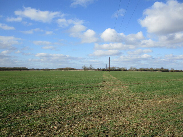
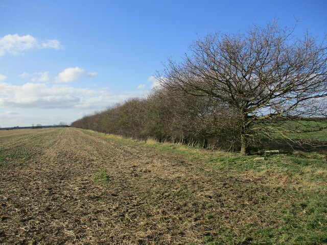
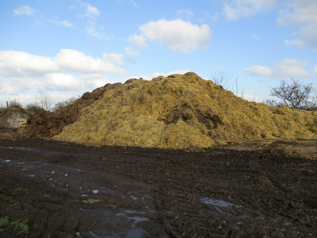
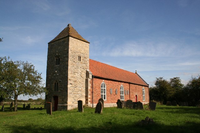
Broughton Clays Images

Images are sourced within 2km of 53.092202/-0.65123207 or Grid Reference SK9055. Thanks to Geograph Open Source API. All images are credited.

Bridleway towards Carlton le Moorland After a kilometre or so this bridleway becomes a footpath.
Bridleway towards Carlton le Moorland
After a kilometre or so this bridleway becomes a footpath.
Very muddy bridleway This bridleway turns into a footpath at the hedge ahead.
Very muddy bridleway
This bridleway turns into a footpath at the hedge ahead.
Is this the footpath? I think not. There is no obvious line for the footpath across this field. What appears to be a footpath is in fact where machines have gone in the consrtruction of this new power line.
Is this the footpath?
I think not. There is no obvious line for the footpath across this field. What appears to be a footpath is in fact where machines have gone in the consrtruction of this new power line.
Very muddy farm track
Change in status The post on the dyke bank marks the point where a bridleway becomes a footpath. It  also happens to be the boundary between the parishes of Carlton le Moorland (beyond the post) and Brant Broughton and Stragglethorpe.
Change in status
The post on the dyke bank marks the point where a bridleway becomes a footpath. It also happens to be the boundary between the parishes of Carlton le Moorland (beyond the post) and Brant Broughton and Stragglethorpe.
Well established hedge Not an old hedge. Probably planted 25-30 years ago.
Well established hedge
Not an old hedge. Probably planted 25-30 years ago.
Newly arrived from the stable floor
Barn, High Street, Brant Broughton
Young trees and miscanthus, Brant Broughton
Wheat field with scattered bushes I presume the bushes hide old pits.
Wheat field with scattered bushes
I presume the bushes hide old pits.
Playing field, Brant Broughton
Wesleyan Reform chapel, Brant Broughton One of a hundred or so remaining Wesleyan congregations which separated from Wesleyan Methodism in 1849 largely over the issues of centralisation and the power of ministers <span class="nowrap"><a title="https://www.thewru.com/about-us/history/" rel="nofollow ugc noopener" href="https://www.thewru.com/about-us/history/">Link</a><img style="margin-left:2px;" alt="External link" title="External link - shift click to open in new window" src="https://s1.geograph.org.uk/img/external.png" width="10" height="10"/></span>
Wesleyan Reform chapel, Brant Broughton
One of a hundred or so remaining Wesleyan congregations which separated from Wesleyan Methodism in 1849 largely over the issues of centralisation and the power of ministers LinkExternal link
106 High Street, Brant Broughton
Digby House, Brant Broughton Part is dated 1769 <span class="nowrap"><a title="https://historicengland.org.uk/listing/the-list/list-entry/1308412?section=official-list-entry" rel="nofollow ugc noopener" href="https://historicengland.org.uk/listing/the-list/list-entry/1308412?section=official-list-entry">Link</a><img style="margin-left:2px;" alt="External link" title="External link - shift click to open in new window" src="https://s1.geograph.org.uk/img/external.png" width="10" height="10"/></span>
Digby House, Brant Broughton
Part is dated 1769 LinkExternal link
Building work at 126 High Street, Brant Broughton
117 High Street, Brant Broughton Dates from the early nineteenth century <span class="nowrap"><a title="https://historicengland.org.uk/listing/the-list/list-entry/1061886?section=official-list-entry" rel="nofollow ugc noopener" href="https://historicengland.org.uk/listing/the-list/list-entry/1061886?section=official-list-entry">Link</a><img style="margin-left:2px;" alt="External link" title="External link - shift click to open in new window" src="https://s1.geograph.org.uk/img/external.png" width="10" height="10"/></span>
117 High Street, Brant Broughton
Dates from the early nineteenth century LinkExternal link
Guildford House, Brant Broughton Late eighteenth century with a nineteenth century top storey <span class="nowrap"><a title="https://historicengland.org.uk/listing/the-list/list-entry/1147818?section=official-list-entry" rel="nofollow ugc noopener" href="https://historicengland.org.uk/listing/the-list/list-entry/1147818?section=official-list-entry">Link</a><img style="margin-left:2px;" alt="External link" title="External link - shift click to open in new window" src="https://s1.geograph.org.uk/img/external.png" width="10" height="10"/></span>
Guildford House, Brant Broughton
Late eighteenth century with a nineteenth century top storey LinkExternal link
Show me another place!

Broughton Clays is located at Grid Ref: SK9055 (Lat: 53.092202, Lng: -0.65123207)

Administrative County: Lincolnshire

District: North Kesteven

Police Authority: Lincolnshire

What 3 Words

///toolbar.shuttling.sunset. Near Bassingham, Lincolnshire

Nearby Locations

Broughton Clays

Related Wikis

Brant Broughton

Brant Broughton (pronounced Brew-ton) is a small village in the civil parish of Brant Broughton and Stragglethorpe, in the North Kesteven district of Lincolnshire...

St Helen's Church, Brant Broughton

St Helen's Church is an Anglican church in Brant Broughton, Lincolnshire, England. It is a Grade I listed building. == History == St Helen's Church a medieval...

Carlton-le-Moorland

Carlton-le-Moorland, is a village and civil parish in the North Kesteven district of Lincolnshire, England, between Newark-on-Trent and Lincoln. The parish...

Stapleford, Lincolnshire

Stapleford is a village and civil parish in North Kesteven district of Lincolnshire, England, and about 6 miles (10 km) north-east from the town of Newark...

Nearby Amenities

Located within 500m of 53.092202,-0.65123207
Broughton Clays
Place: locality
Source: Bing
Lat/Long: 53.0936299/-0.6526263
The Clays
Place: farm
Source: Bing
Lat/Long: 53.0917614/-0.6497618
The Clays
Place: isolated_dwelling
Source: Bing
Lat/Long: 53.0896574/-0.6564698
The data included in this document is from www.openstreetmap.org. The data is made available under ODbL.

Have you been to Broughton Clays?

Leave your review of Broughton Clays below (or comments, questions and feedback).