Ox Lands
Downs, Moorland in Yorkshire
England
Ox Lands
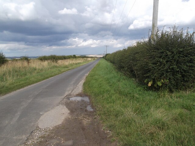
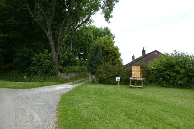
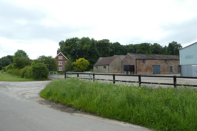
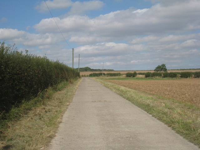
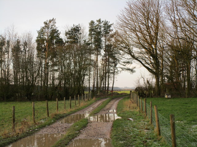
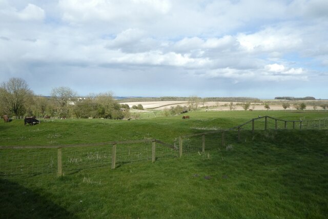
Ox Lands, located in Yorkshire, is a picturesque region known for its stunning landscapes composed of downs and moorland. The area spans over a vast expanse of land, offering visitors an opportunity to immerse themselves in its natural beauty.
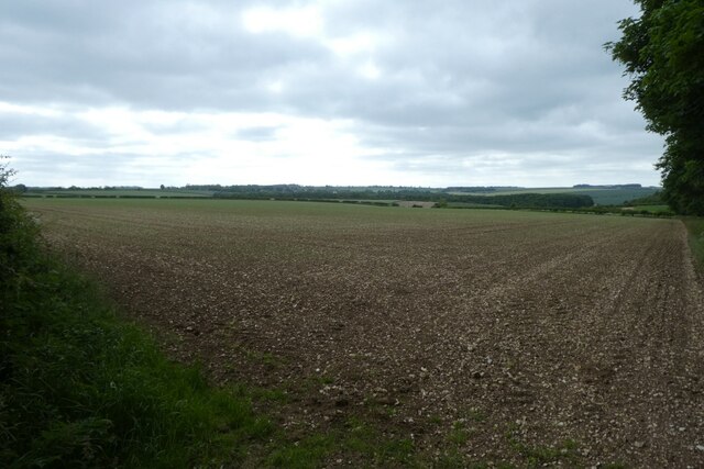
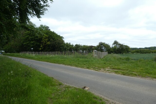
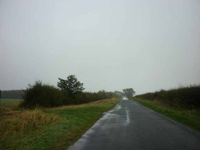
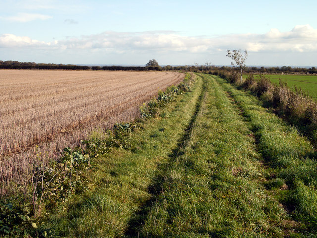
The downs in Ox Lands are characterized by rolling hills covered in lush green grass, providing a scenic backdrop for outdoor activities such as hiking, cycling, and picnicking. The uninterrupted views from the downs offer breathtaking panoramas of the surrounding countryside, creating a serene and peaceful atmosphere.
Moorland, on the other hand, adds a unique charm to Ox Lands. This type of landscape is characterized by open expanses of heather-covered hills, interspersed with patches of scrubland and peat bogs. The moorland is home to a variety of wildlife, including birds such as grouse and curlews, as well as other species like hares and deer. Its rugged beauty and untouched wilderness make it a haven for nature lovers and photographers alike.
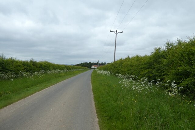
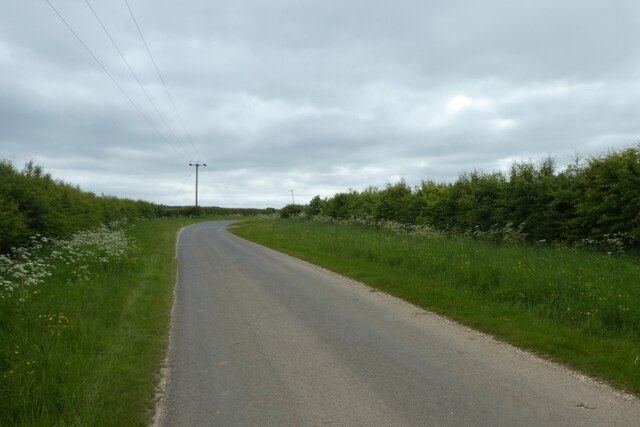
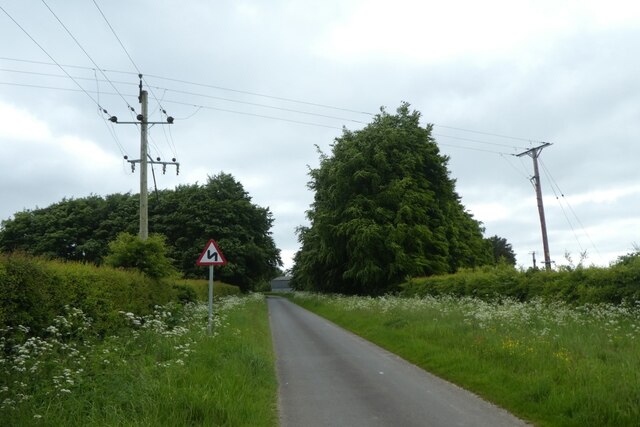
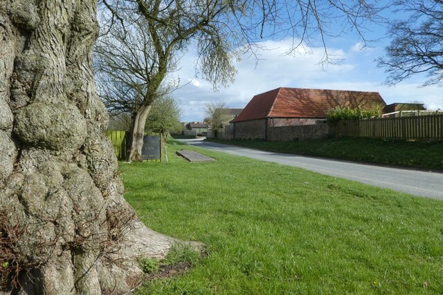
Visitors to Ox Lands can explore the region's numerous walking trails and take in the sights and sounds of nature. The area is also rich in history, with ancient burial mounds and stone circles dotting the landscape, providing a glimpse into the region's past.
Whether it's the rolling downs or the rugged moorland, Ox Lands in Yorkshire offers a unique and captivating experience for those seeking to connect with nature and immerse themselves in its tranquil surroundings.
If you have any feedback on the listing, please let us know in the comments section below.
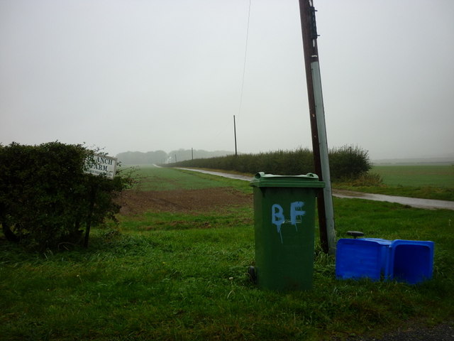
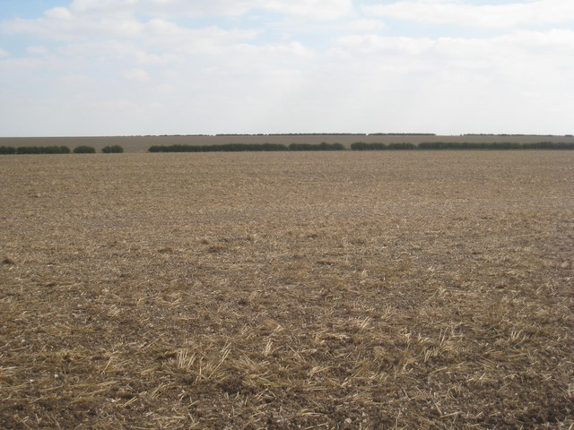
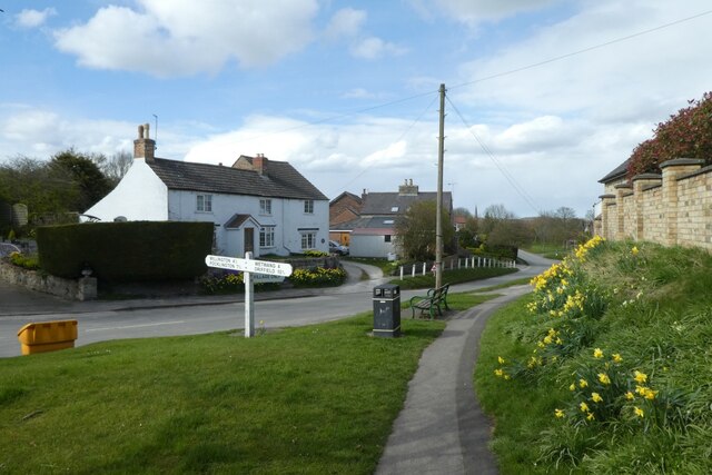
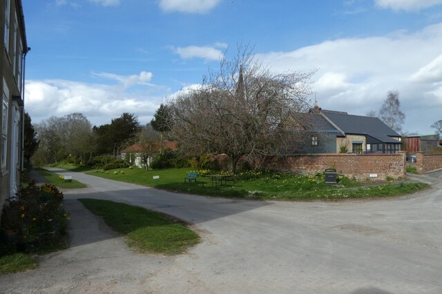
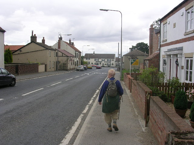
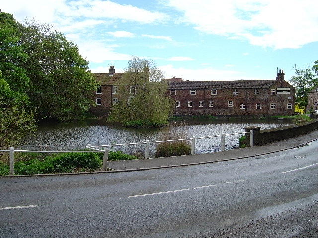
Ox Lands Images
Images are sourced within 2km of 53.984576/-0.63544062 or Grid Reference SE8955. Thanks to Geograph Open Source API. All images are credited.
Ox Lands is located at Grid Ref: SE8955 (Lat: 53.984576, Lng: -0.63544062)
Division: East Riding
Unitary Authority: East Riding of Yorkshire
Police Authority: Humberside
What 3 Words
///overhead.makeovers.endings. Near Wetwang, East Yorkshire
Related Wikis

Huggate
Huggate is a village and civil parish in the East Riding of Yorkshire, England. It is situated approximately 13 miles (21 km) north-west of Beverley town...
Fridaythorpe
Fridaythorpe is a village and civil parish in the East Riding of Yorkshire, England. It is situated approximately 8 miles (13 km) north-east of Pocklington...

Bigger Trees Near Warter
Bigger Trees Near Warter or ou Peinture en Plein Air pour l'age Post-Photographique is a large landscape painting by British artist David Hockney. Measuring...
North Dalton
North Dalton is a village and civil parish in the East Riding of Yorkshire, England. It is situated approximately 6 miles (10 km) south-west of the town...

Wetwang
Wetwang is a Yorkshire Wolds village and civil parish in the East Riding of Yorkshire, England, 6 miles (10 kilometres) west of Driffield on the A166 road...

St James' Church, Warter
St James’ Church lies in Warter, an estate village in England, in the Yorkshire Wolds, part of the East Riding of Yorkshire. == Origins and history... ==

Fimber
Fimber is a village and civil parish in the East Riding of Yorkshire, England. It is situated approximately 8 miles (13 km) north-west of Driffield town...
Wetwang Slack
Wetwang Slack is an Iron Age archaeological site containing remains of the Arras culture and chariot burial tradition of East Yorkshire. Archaeological...
Nearby Amenities
Located within 500m of 53.984576,-0.63544062Have you been to Ox Lands?
Leave your review of Ox Lands below (or comments, questions and feedback).