Tutman's Plantation

Wood, Forest in Yorkshire

England

Tutman's Plantation

Country lane towards Painslack Cottages
Country lane towards Painslack Cottages Credit: David Brown

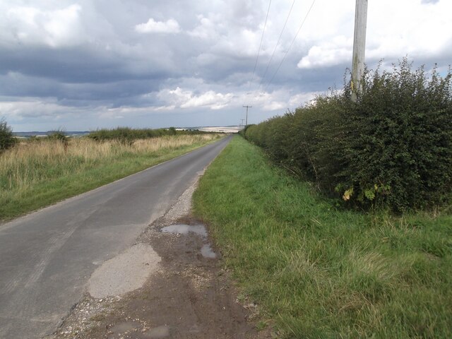
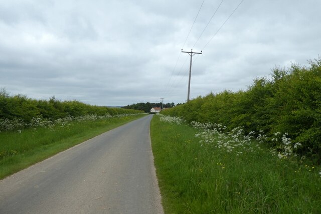
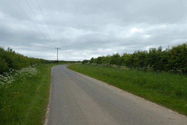
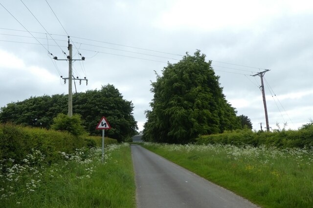
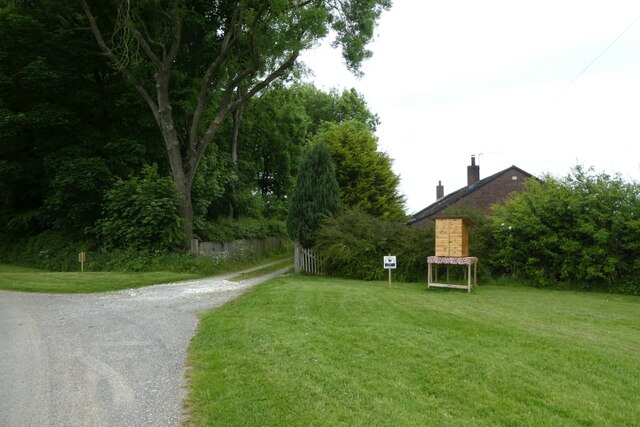
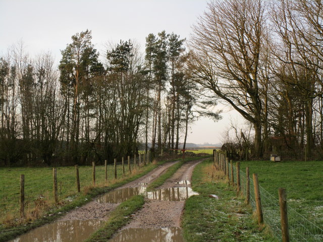
Tutman's Plantation is a picturesque forested area located in Yorkshire, England. Nestled within the larger Yorkshire Wood, this plantation spans over a vast area and is renowned for its natural beauty and rich history.

The plantation is characterized by its dense woodland, consisting primarily of towering oak and beech trees, which create a tranquil and serene environment. The lush greenery provides a habitat for various wildlife species, including deer, foxes, and numerous bird species, making it a popular spot for nature enthusiasts and birdwatchers.

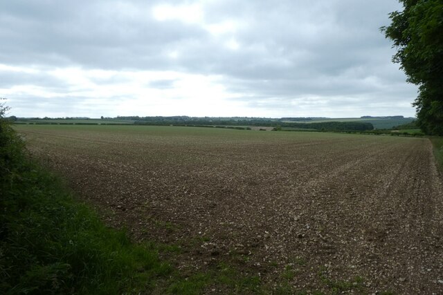
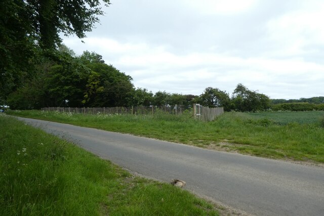
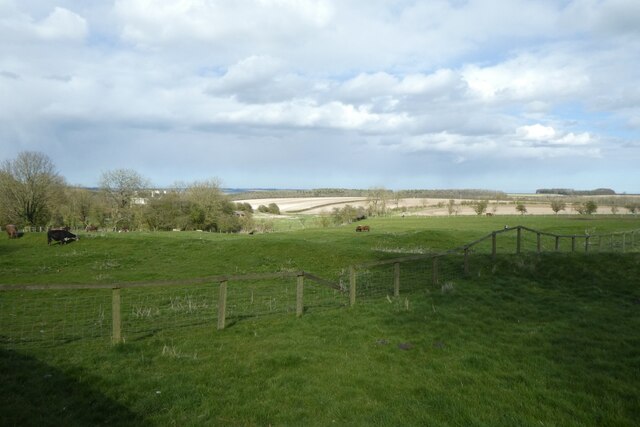
With its rolling hills and diverse flora, Tutman's Plantation offers visitors a serene and peaceful retreat from the bustling city life. Walking trails wind through the forest, allowing visitors to explore the area at their own pace. The plantation is particularly renowned for its bluebell displays in the spring, attracting visitors from far and wide who come to witness the stunning carpet of blue flowers that blankets the forest floor.

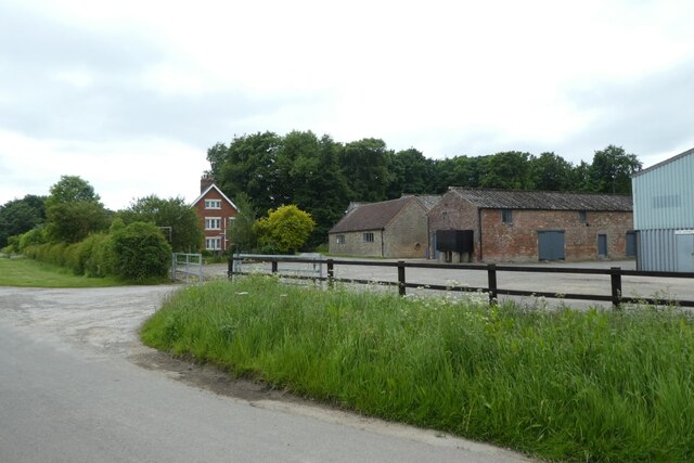
The history of Tutman's Plantation dates back several centuries. It was originally part of a larger estate owned by the Tutman family, who were prominent landowners in the region. Over the years, the plantation has witnessed various changes in ownership and land use, but its natural beauty has remained intact.

Today, Tutman's Plantation stands as a testament to Yorkshire's rich natural heritage, offering visitors a chance to immerse themselves in the beauty of the British countryside. Whether one seeks solitude, wildlife encounters, or simply a peaceful walk among ancient trees, Tutman's Plantation provides an idyllic setting for all.

If you have any feedback on the listing, please let us know in the comments section below.

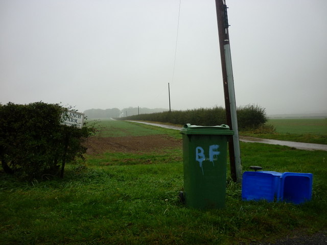
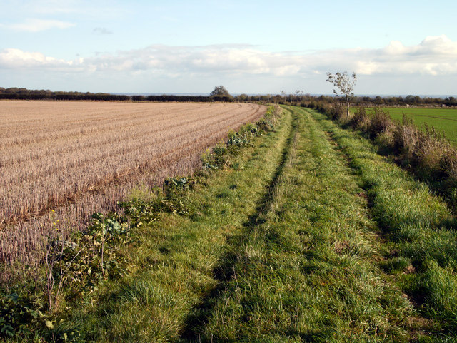
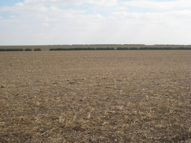
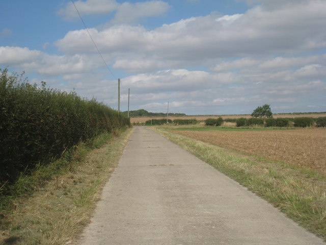
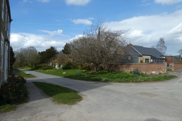
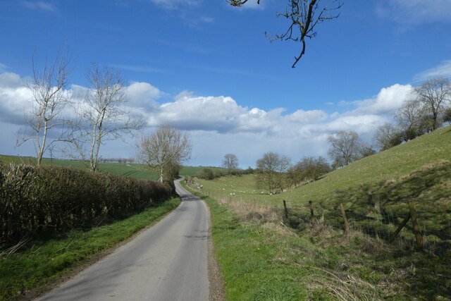
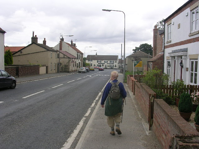
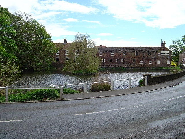
Tutman's Plantation Images

Images are sourced within 2km of 53.98746/-0.63923561 or Grid Reference SE8955. Thanks to Geograph Open Source API. All images are credited.

Country lane towards Painslack Cottages
Lane near Painslack Cottages Looking along the lane between Wetwang and Huggate.
Lane near Painslack Cottages
Looking along the lane between Wetwang and Huggate.
Lane south of Painslack Cottages Looking along the lane between Wetwang and Huggate.
Lane south of Painslack Cottages
Looking along the lane between Wetwang and Huggate.
Road near Foxcovert Farm Looking along the lane between Wetwang and Huggate.
Road near Foxcovert Farm
Looking along the lane between Wetwang and Huggate.
The Bungalow With eggs for sale outside for £2 dozen⁻¹.
The Bungalow
With eggs for sale outside for £2 dozen⁻¹.
Foxcovert Farm Looking towards the farm at the head of Shortlands Dale.
Foxcovert Farm
Looking towards the farm at the head of Shortlands Dale.
Fields near Foxcovert Farm Looking across chalky fields near Shortlands Dale.
Fields near Foxcovert Farm
Looking across chalky fields near Shortlands Dale.
Orchard near Foxcovert Farm Looking towards a small fenced orchard of young fruit trees.
Orchard near Foxcovert Farm
Looking towards a small fenced orchard of young fruit trees.
The Minster Way towards Blanch Farm
Bridleway to Tibthorpe
No crops were damaged in the taking of this photograph! Taken just off the Minster Way. This is one of the less exciting squares in this part of the Wolds and this stubble field just about sums it up.
No crops were damaged in the taking of this photograph!
Taken just off the Minster Way. This is one of the less exciting squares in this part of the Wolds and this stubble field just about sums it up.
The Minster Way approaches the North Dalton to Huggate Road For some distance the Minster Way utilises this concrete farm road.
The Minster Way approaches the North Dalton to Huggate Road
For some distance the Minster Way utilises this concrete farm road.
Footpath near Foxcovert Farm Part of the Chalkland Way.
Footpath near Foxcovert Farm
Part of the Chalkland Way.
Fields beside the Wolds Inn Looking across farmland from the car park of the Wolds Inn.
Fields beside the Wolds Inn
Looking across farmland from the car park of the Wolds Inn.
Driffield Road Looking along Driffield Road from a bench near the Wolds Inn.
Driffield Road
Looking along Driffield Road from a bench near the Wolds Inn.
Stocks Hill Looking along a path at the south end of Huggate.
Stocks Hill
Looking along a path at the south end of Huggate.
Church Street Looking along Church Street in Huggate on a spring afternoon.
Church Street
Looking along Church Street in Huggate on a spring afternoon.
Town End Lane Looking along Town End Lane which becomes a bridleway.
Town End Lane
Looking along Town End Lane which becomes a bridleway.
Show me another place!

Tutman's Plantation is located at Grid Ref: SE8955 (Lat: 53.98746, Lng: -0.63923561)

Division: East Riding

Unitary Authority: East Riding of Yorkshire

Police Authority: Humberside

What 3 Words

///stowing.lights.extremely. Near Wetwang, East Yorkshire

Related Wikis

Huggate

Huggate is a village and civil parish in the East Riding of Yorkshire, England. It is situated approximately 13 miles (21 km) north-west of Beverley town...

Fridaythorpe

Fridaythorpe is a village and civil parish in the East Riding of Yorkshire, England. It is situated approximately 8 miles (13 km) north-east of Pocklington...

Fimber

Fimber is a village and civil parish in the East Riding of Yorkshire, England. It is situated approximately 8 miles (13 km) north-west of Driffield town...

Bigger Trees Near Warter

Bigger Trees Near Warter or ou Peinture en Plein Air pour l'age Post-Photographique is a large landscape painting by British artist David Hockney. Measuring...

Wetwang

Wetwang is a Yorkshire Wolds village and civil parish in the East Riding of Yorkshire, England, 6 miles (10 kilometres) west of Driffield on the A166 road...

North Dalton

North Dalton is a village and civil parish in the East Riding of Yorkshire, England. It is situated approximately 6 miles (10 km) south-west of the town...

St James' Church, Warter

St James’ Church lies in Warter, an estate village in England, in the Yorkshire Wolds, part of the East Riding of Yorkshire. == Origins and history... ==

Wetwang Slack

Wetwang Slack is an Iron Age archaeological site containing remains of the Arras culture and chariot burial tradition of East Yorkshire. Archaeological...

Nearby Amenities

Located within 500m of 53.98746,-0.63923561
Barrier: kissing_gate
Lat/Long: 53.9892882/-0.6361491
Material: wood
Power: pole
Lat/Long: 53.9869258/-0.6318281
Material: wood
Power: pole
Lat/Long: 53.9865404/-0.6330686
Material: wood
Power: pole
Lat/Long: 53.9860831/-0.6345074
Material: wood
Power: pole
Lat/Long: 53.9856459/-0.6359527
Material: wood
Power: pole
Lat/Long: 53.9852493/-0.637142
Material: wood
Power: pole
Lat/Long: 53.9849217/-0.6382032
Material: wood
Power: pole
Lat/Long: 53.9845049/-0.6395352
Material: wood
Power: pole
Lat/Long: 53.9847605/-0.641115
Line Management: branch
Material: wood
Power: pole
Lat/Long: 53.9850259/-0.6426989
Material: wood
Power: pole
Lat/Long: 53.9851771/-0.6427889
Material: wood
Power: pole
Lat/Long: 53.9852723/-0.6441223
Material: wood
Power: pole
Lat/Long: 53.9860082/-0.6433906
Material: wood
Power: pole
Lat/Long: 53.9868216/-0.6440144
Material: wood
Power: pole
Lat/Long: 53.9877126/-0.6445721
Material: wood
Power: pole
Lat/Long: 53.9886269/-0.6451916
Material: wood
Power: pole
Lat/Long: 53.989295/-0.6455465
Material: wood
Power: pole
Lat/Long: 53.9854949/-0.6455097
The data included in this document is from www.openstreetmap.org. The data is made available under ODbL.

Have you been to Tutman's Plantation?

Leave your review of Tutman's Plantation below (or comments, questions and feedback).