Oxlands Plantation
Wood, Forest in Yorkshire
England
Oxlands Plantation
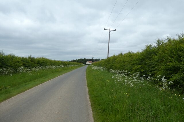
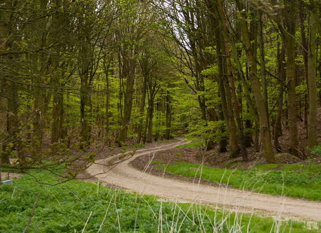
Oxlands Plantation is a picturesque woodland located in the county of Yorkshire, England. Situated on the outskirts of a small village, the plantation covers an area of approximately 500 acres and is renowned for its stunning natural beauty and diverse array of flora and fauna.
The woodland is predominantly comprised of deciduous trees, including oak, ash, and beech, which create a dense canopy overhead, providing shade and shelter to the woodland floor below. This rich ecosystem supports a wide variety of plant species, including bluebells, wild garlic, and primroses, offering a vibrant display of colors during the spring and summer months.
Oxlands Plantation is not only a haven for plant life, but also a sanctuary for numerous animal species. The dense vegetation and tranquil surroundings make it an ideal habitat for woodland creatures such as deer, badgers, foxes, and a vast array of bird species. Birdwatchers can spot woodpeckers, owls, and various songbirds throughout the year.
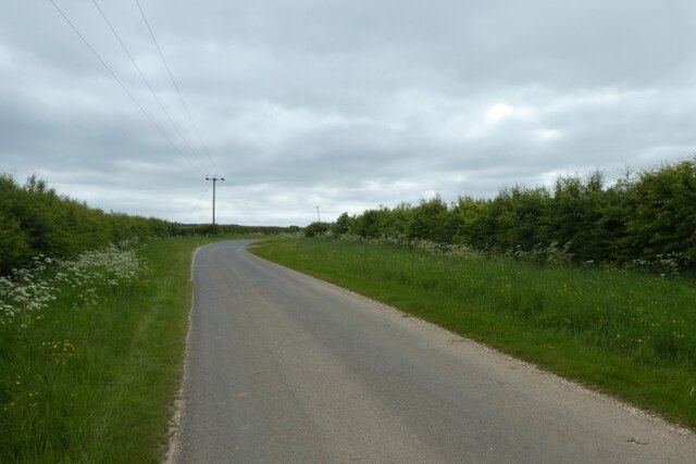
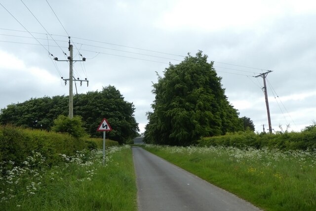
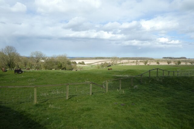
The woodland is also a popular destination for nature enthusiasts and hikers, who can explore the numerous walking trails that wind their way through the plantation. These trails offer breathtaking views of the surrounding countryside, and visitors can enjoy a peaceful and serene atmosphere as they immerse themselves in the beauty of nature.
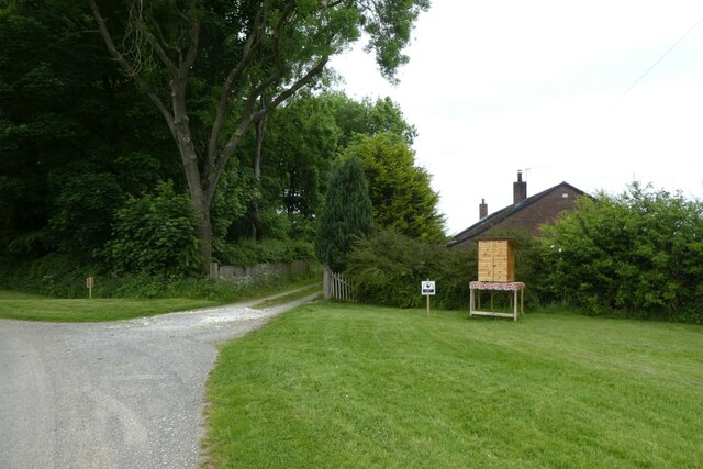
In addition to its natural features, Oxlands Plantation also boasts a rich history. The woodland has been managed for centuries and has served as a source of timber for the local community. Today, it is managed by a local conservation organization, which ensures the preservation and protection of the woodland for future generations to enjoy.
Overall, Oxlands Plantation is a captivating woodland in Yorkshire, offering visitors a chance to experience the tranquility and beauty of nature in a truly remarkable setting.
If you have any feedback on the listing, please let us know in the comments section below.
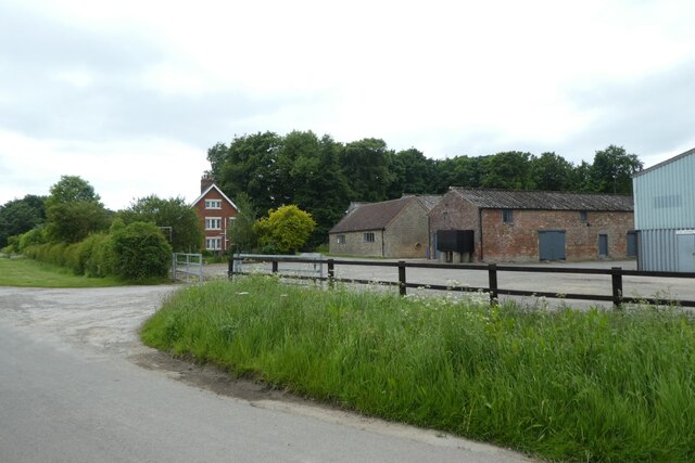
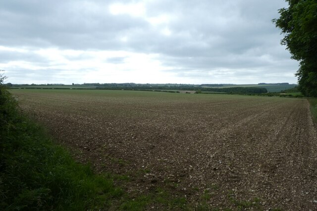
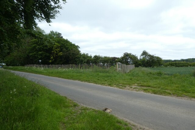
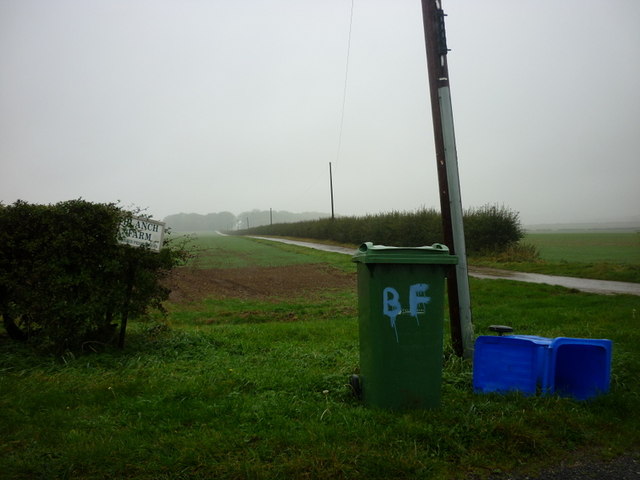
Oxlands Plantation Images
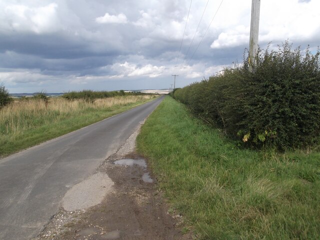
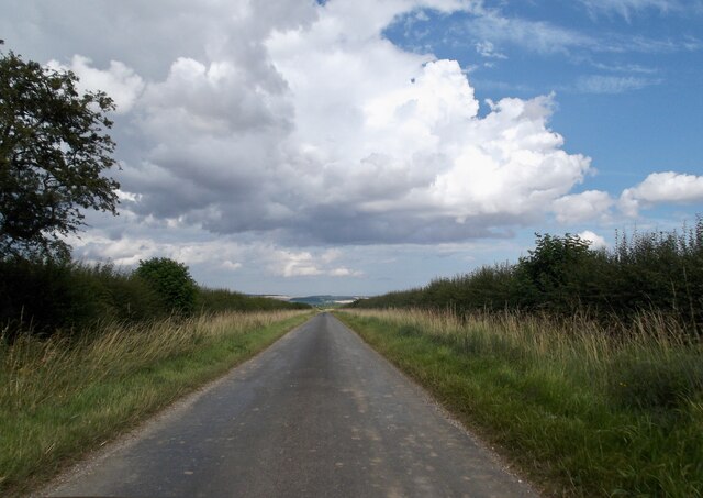
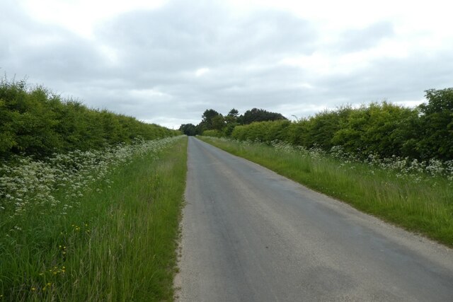
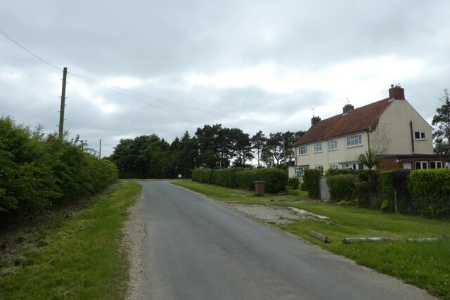
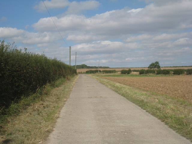
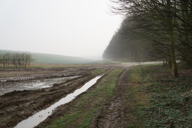
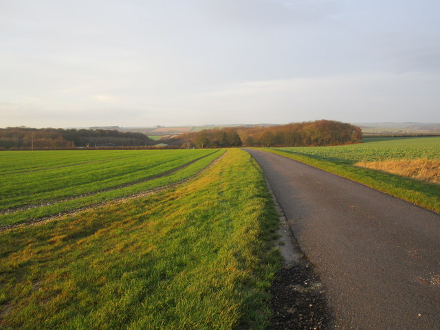
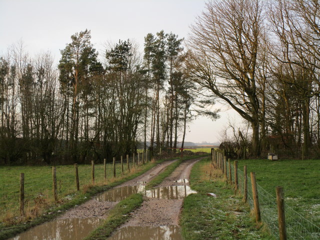
Images are sourced within 2km of 53.992313/-0.63842146 or Grid Reference SE8955. Thanks to Geograph Open Source API. All images are credited.
Oxlands Plantation is located at Grid Ref: SE8955 (Lat: 53.992313, Lng: -0.63842146)
Division: East Riding
Unitary Authority: East Riding of Yorkshire
Police Authority: Humberside
What 3 Words
///spoils.opposite.professed. Near Fimber, East Yorkshire
Related Wikis

Huggate
Huggate is a village and civil parish in the East Riding of Yorkshire, England. It is situated approximately 13 miles (21 km) north-west of Beverley town...
Fridaythorpe
Fridaythorpe is a village and civil parish in the East Riding of Yorkshire, England. It is situated approximately 8 miles (13 km) north-east of Pocklington...

Fimber
Fimber is a village and civil parish in the East Riding of Yorkshire, England. It is situated approximately 8 miles (13 km) north-west of Driffield town...

Wetwang
Wetwang is a Yorkshire Wolds village and civil parish in the East Riding of Yorkshire, England, 6 miles (10 kilometres) west of Driffield on the A166 road...

Yorkshire Wolds Railway
The Yorkshire Wolds Railway is a preserved railway in the East Riding of Yorkshire, England. It is located on a section of the Malton and Driffield Junction...

Wetwang Slack
Wetwang Slack is an Iron Age archaeological site containing remains of the Arras culture and chariot burial tradition of East Yorkshire. Archaeological...
Sledmere and Fimber railway station
Sledmere and Fimber railway station was a railway station on the Malton & Driffield Railway in the East Riding of Yorkshire, England. == History == The...
Wetwang railway station
Wetwang railway station (SE933596) was a railway station on the Malton & Driffield Railway in the East Riding of Yorkshire, England. It served the village...
Nearby Amenities
Located within 500m of 53.992313,-0.63842146Have you been to Oxlands Plantation?
Leave your review of Oxlands Plantation below (or comments, questions and feedback).