The Rookery
Wood, Forest in Yorkshire Ryedale
England
The Rookery
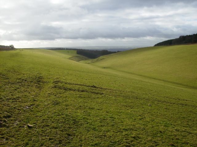
The Rookery is a picturesque woodland area located in Yorkshire, England. Nestled amidst the rolling hills and lush greenery, this enchanting forest is a haven for nature lovers and outdoor enthusiasts alike. Spread across an expansive area, The Rookery is known for its abundant wildlife, ancient trees, and tranquil atmosphere.
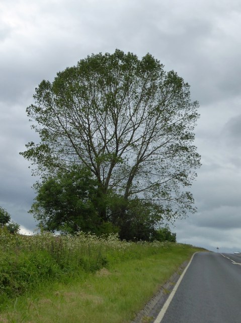
The forest is home to a diverse range of flora and fauna, with a myriad of plant species that thrive in this natural habitat. Towering oak, beech, and birch trees dominate the landscape, forming a dense canopy that provides shade and shelter for a variety of woodland creatures. Visitors can expect to encounter deer, rabbits, squirrels, and an array of bird species as they explore the forest trails.
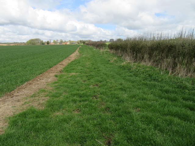
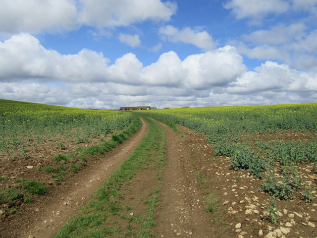
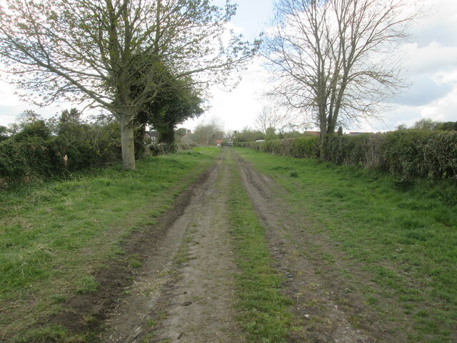
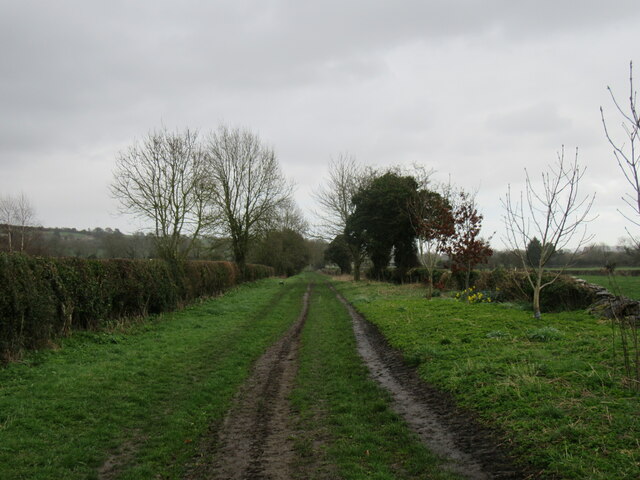
The Rookery offers a network of well-maintained walking paths that wind through the forest, allowing visitors to immerse themselves in the beauty of the surroundings. These trails lead to secluded areas, clearings, and small ponds, providing ample opportunities for relaxation and reflection. The peaceful ambiance of the forest is complemented by the soothing sounds of birdsong and rustling leaves, creating a truly serene atmosphere.
Aside from its natural charm, The Rookery also boasts historical significance. The forest is said to have been a popular hunting ground for nobility in medieval times, with remnants of old hunting lodges and stone structures still visible today. These historical elements add an intriguing layer to the forest's allure, allowing visitors to delve into the rich past of the area.
Whether seeking solitude in nature, observing wildlife, or exploring historical remnants, The Rookery offers a delightful escape from the bustling modern world. With its captivating beauty and tranquil ambiance, this woodland paradise is a must-visit destination for nature enthusiasts and history buffs alike.
If you have any feedback on the listing, please let us know in the comments section below.
The Rookery Images
Images are sourced within 2km of 54.238401/-0.63031756 or Grid Reference SE8983. Thanks to Geograph Open Source API. All images are credited.


The Rookery is located at Grid Ref: SE8983 (Lat: 54.238401, Lng: -0.63031756)
Division: North Riding
Administrative County: North Yorkshire
District: Ryedale
Police Authority: North Yorkshire
What 3 Words
///opposites.neat.detail. Near Thornton Dale, North Yorkshire
Nearby Locations
Related Wikis

Ebberston Hall
Ebberston Hall is a Grade II* listed country house in Ebberston, North Yorkshire, England. It was constructed during 18th century for William Thompson...

Marske Hall, Richmondshire
Marske Hall is a Grade II* listed country house in Marske, North Yorkshire, England. == History == Markse Hall was bought in 1596 by the then Archbishop...

Ebberston
Ebberston is a village and former civil parish, now in the parish of Ebberston and Yedingham in North Yorkshire, England, and is 34 miles (55 km) east...

Allerston
Allerston is a village and civil parish in North Yorkshire, England, about 5 miles (8 km) east of Pickering. According to the 2001 census, the parish had...
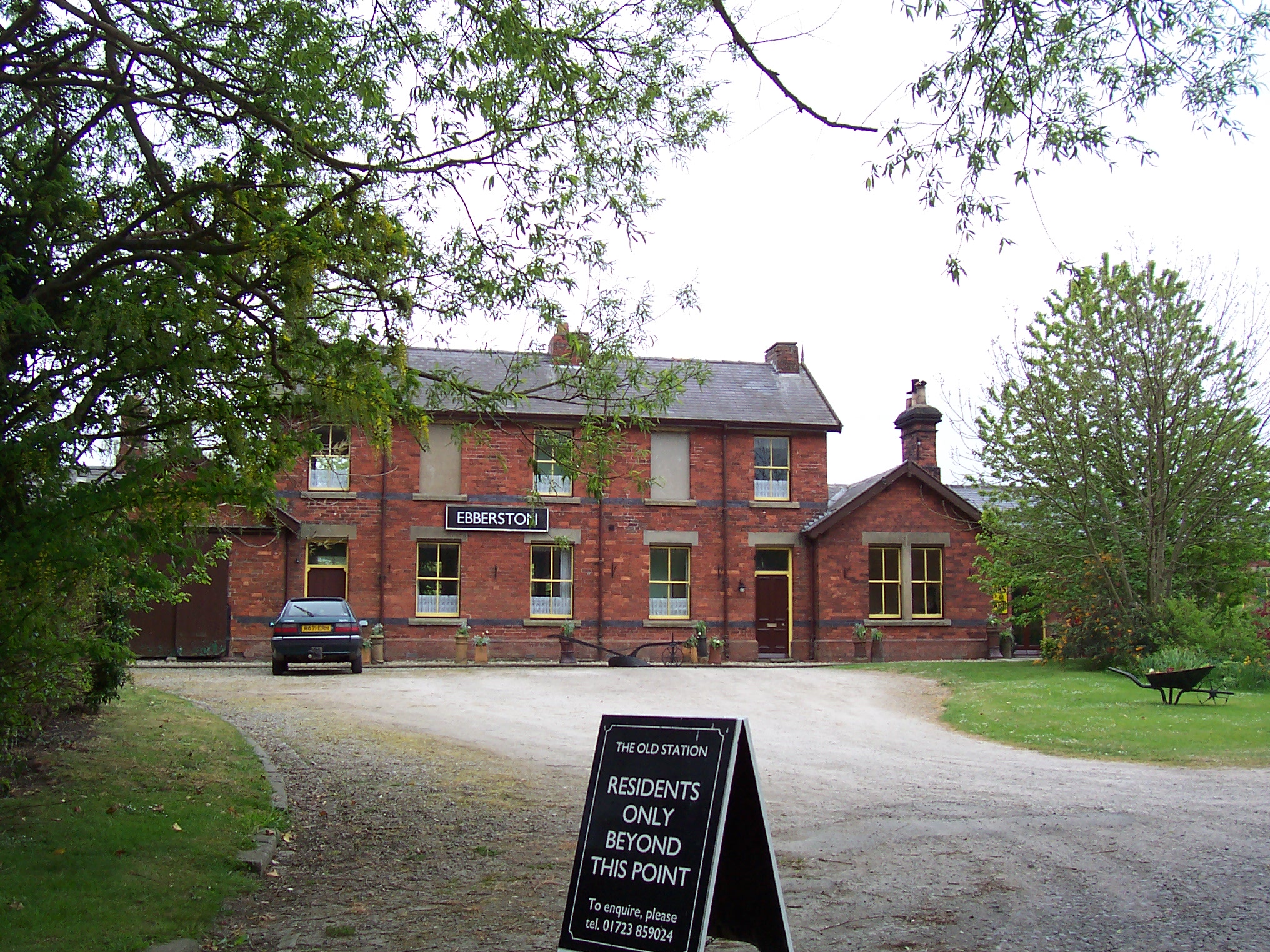
Ebberston railway station
Ebberston railway station was situated on the North Eastern Railway's Pickering to Seamer branch line. It served the villages of Allerston, Ebberston...

Snainton railway station
Snainton railway station was situated on the North Eastern Railway's Pickering to Seamer branch line. It served the village of Snainton, North Yorkshire...

Snainton
Snainton is a village and civil parish in North Yorkshire, England. According to the 2011 UK Census, Snainton parish had a population of 754, a decrease...

Wilton, Ryedale
Wilton is a small village and civil parish near Pickering in North Yorkshire, England. The main road through Wilton (the A170) is still closed daily so...
Nearby Amenities
Located within 500m of 54.238401,-0.63031756Have you been to The Rookery?
Leave your review of The Rookery below (or comments, questions and feedback).