The Meadows

Downs, Moorland in Yorkshire

England

The Meadows

Long entrance to Arden Fleets
Long entrance to Arden Fleets Credit: David Brown

The Meadows is a picturesque region located in the county of Yorkshire, England. It encompasses a diverse landscape consisting of downs, moorland, and lush meadows. Spanning over a vast area, The Meadows offers a captivating blend of natural beauty and cultural heritage.

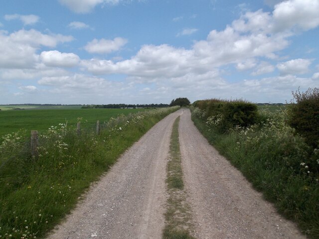
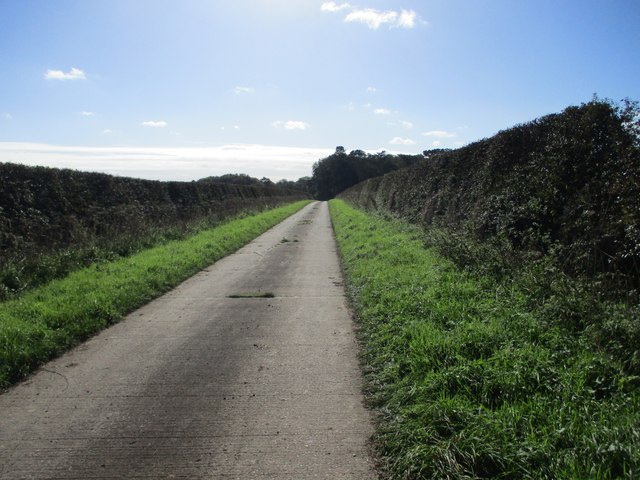
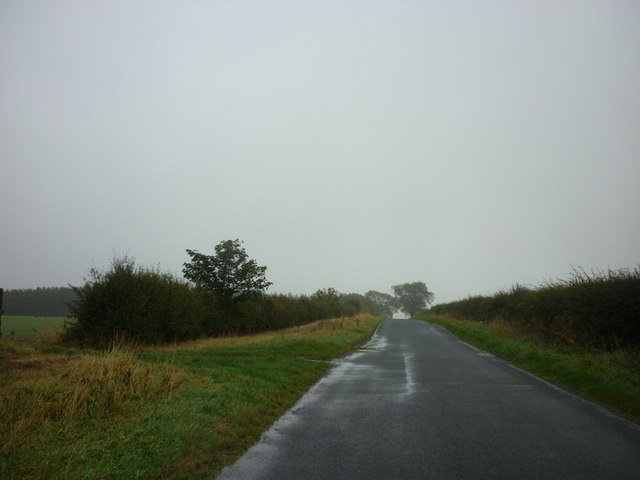
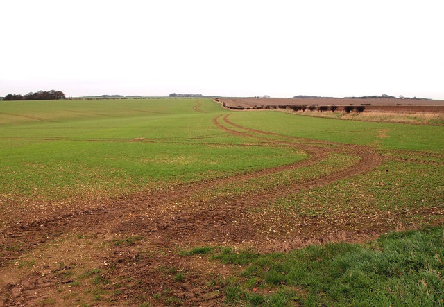
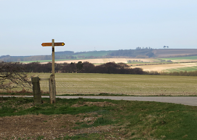
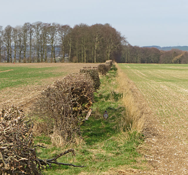
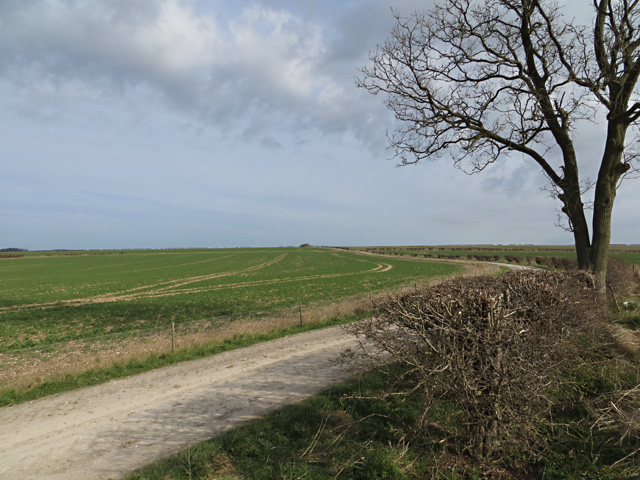
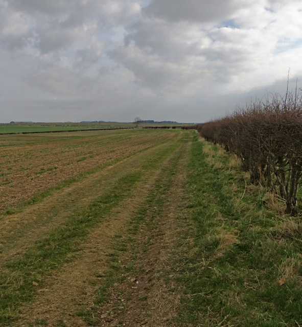
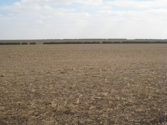
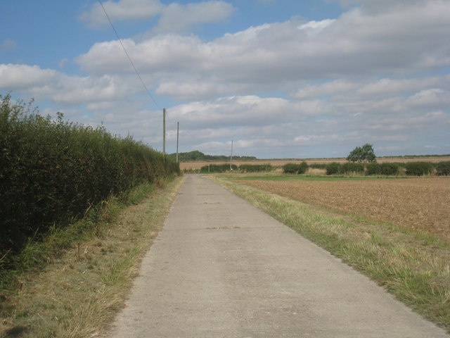
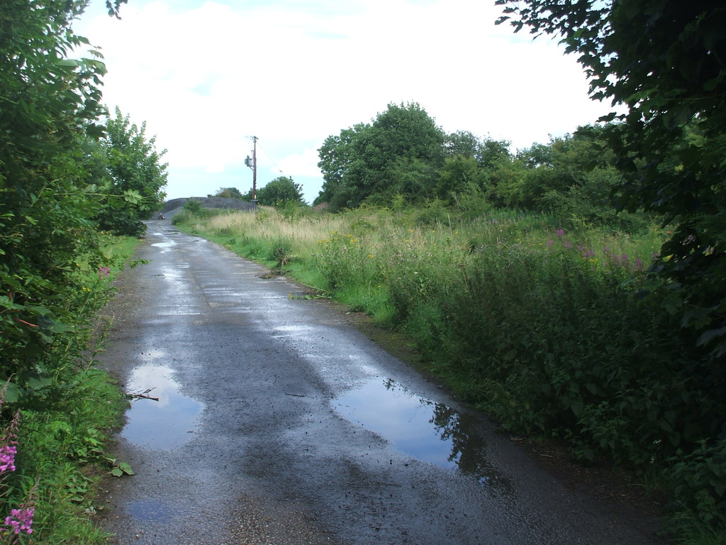
The downs of The Meadows are characterized by rolling hills and expansive grasslands. These areas are a haven for wildlife and are often dotted with grazing sheep and cattle. Walking along the downs, visitors can soak in breathtaking panoramic views of the surrounding countryside.

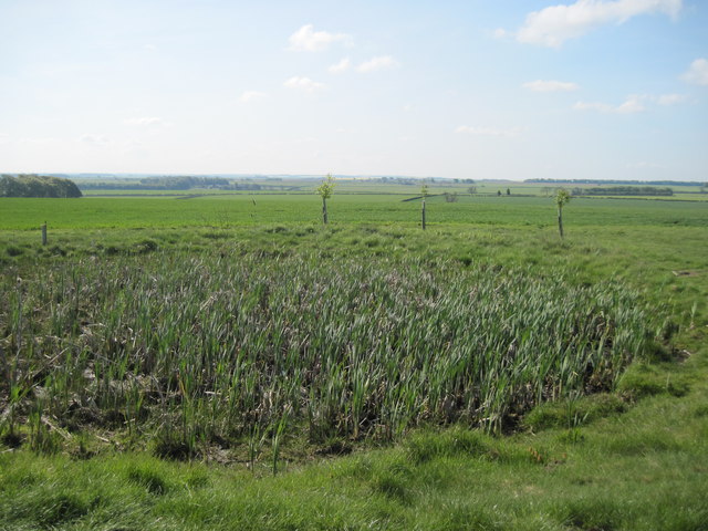
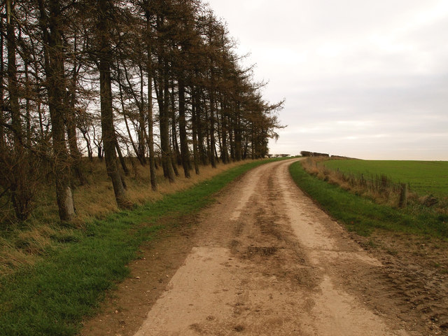
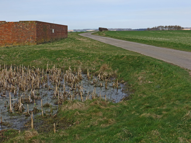
The moorland in The Meadows is equally captivating, with its rugged terrain and heather-covered hills. This unique ecosystem is home to a variety of plant and animal species, including rare birds such as the red grouse. Exploring the moorland, one can discover ancient stone structures, evidence of the region's rich history.

Amidst the downs and moorland, the meadows in The Meadows offer a serene and idyllic setting. These lush green fields are adorned with vibrant wildflowers during the spring and summer months. They provide a perfect backdrop for leisurely walks, picnics, or simply basking in the tranquility of the countryside.

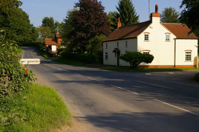
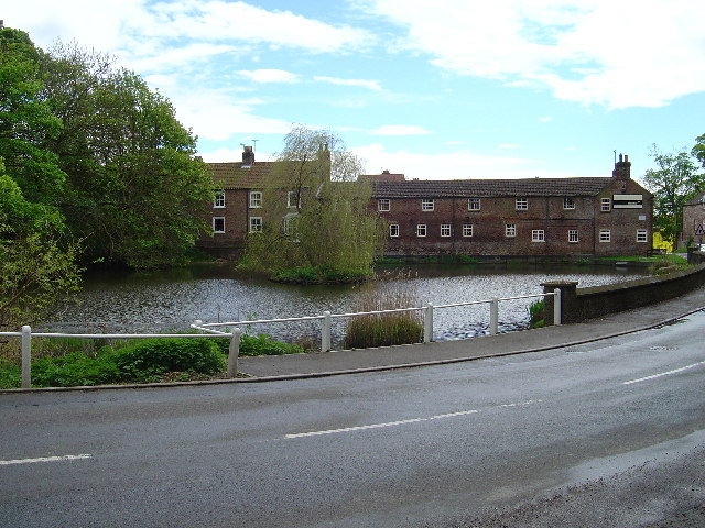
The Meadows also boasts charming villages and towns that are steeped in history. Visitors can explore quaint market towns, visit historical landmarks, and indulge in traditional Yorkshire cuisine.

With its diverse landscape, rich wildlife, and cultural heritage, The Meadows in Yorkshire is a destination that offers a delightful escape into the natural beauty of the English countryside.

If you have any feedback on the listing, please let us know in the comments section below.

The Meadows Images

Images are sourced within 2km of 53.96214/-0.63695082 or Grid Reference SE8952. Thanks to Geograph Open Source API. All images are credited.

Long entrance to Arden Fleets
Track on top of the wold looking north
Minor  road  toward  Huggate Summit House farm can just be seen at the roadside end of shelter belt
Minor road toward Huggate
Summit House farm can just be seen at the roadside end of shelter belt
Access  road  to  Tithe  Top  Farm Also a Green Dotty which runs past Tithe Top and Arden Fleets farm to the B1246 North Dalton to Warter road
Access road to Tithe Top Farm
Also a Green Dotty which runs past Tithe Top and Arden Fleets farm to the B1246 North Dalton to Warter road
Farm  Road  to  Tithe  Top  Farm Track to the right is the Minster Way to North Dalton.
Farm Road to Tithe Top Farm
Track to the right is the Minster Way to North Dalton.
Dew  Pond  on  the  Yorkshire  Wolds As we have had a very dry spring it's dry. Alongside the Minster Way footpath.
Dew Pond on the Yorkshire Wolds
As we have had a very dry spring it's dry. Alongside the Minster Way footpath.
The Minster Way towards Blanch Farm
Heading towards North Dalton near Summit House
The way to Tithe Top Farm
Farmland north east of Thirty Acres
Copse near Thirty Acres
By the Minster Way, E. Yorks A small pond and isolated farm buildings sit to the south of the farm road which carries the Minster Way west of North Dalton
By the Minster Way, E. Yorks
A small pond and isolated farm buildings sit to the south of the farm road which carries the Minster Way west of North Dalton
Yorkshire Wolds footpath junction The Minster Way route takes a right turn to the north here (indicated on the waymarker post); the footpath to the left runs along the farm road towards the B1246 Middleton to Warter road.
Yorkshire Wolds footpath junction
The Minster Way route takes a right turn to the north here (indicated on the waymarker post); the footpath to the left runs along the farm road towards the B1246 Middleton to Warter road.
Towards Thirty Acre Plantation Hedgerow to the west of the footpath/farm road (a pheasant is just about visible to the right of the hedge)
Towards Thirty Acre Plantation
Hedgerow to the west of the footpath/farm road (a pheasant is just about visible to the right of the hedge)
Footpath towards Huggate Farm track/public footpath running north from the B1246 Middleton to Warter road; eventually it joins the Minster Way and heads towards Huggate
Footpath towards Huggate
Farm track/public footpath running north from the B1246 Middleton to Warter road; eventually it joins the Minster Way and heads towards Huggate
Footpath on the Yorkshire Wolds Footpath running south of the B1246 to the west of Warter Farm House
Footpath on the Yorkshire Wolds
Footpath running south of the B1246 to the west of Warter Farm House
No crops were damaged in the taking of this photograph! Taken just off the Minster Way. This is one of the less exciting squares in this part of the Wolds and this stubble field just about sums it up.
No crops were damaged in the taking of this photograph!
Taken just off the Minster Way. This is one of the less exciting squares in this part of the Wolds and this stubble field just about sums it up.
The Minster Way approaches the North Dalton to Huggate Road For some distance the Minster Way utilises this concrete farm road.
The Minster Way approaches the North Dalton to Huggate Road
For some distance the Minster Way utilises this concrete farm road.
Show me another place!

The Meadows is located at Grid Ref: SE8952 (Lat: 53.96214, Lng: -0.63695082)

Division: East Riding

Unitary Authority: East Riding of Yorkshire

Police Authority: Humberside

What 3 Words

///dried.reinvest.shave. Near Millington, East Yorkshire

Related Wikis

Bigger Trees Near Warter

Bigger Trees Near Warter or ou Peinture en Plein Air pour l'age Post-Photographique is a large landscape painting by British artist David Hockney. Measuring...

Huggate

Huggate is a village and civil parish in the East Riding of Yorkshire, England. It is situated approximately 13 miles (21 km) north-west of Beverley town...

St James' Church, Warter

St James’ Church lies in Warter, an estate village in England, in the Yorkshire Wolds, part of the East Riding of Yorkshire. == Origins and history... ==

Warter

Warter is a small village and civil parish in the East Riding of Yorkshire, England. It is situated approximately 4 miles (6.4 km) east of Pocklington...

North Dalton

North Dalton is a village and civil parish in the East Riding of Yorkshire, England. It is situated approximately 6 miles (10 km) south-west of the town...
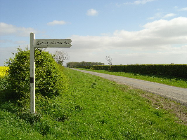
Kiplingcotes Derby

Kiplingcotes Derby (also spelt Kipling Cotes), run at Kiplingcotes in the East Riding of Yorkshire, is widely accepted to be the oldest annual horse race...

Warter Priory

Warter Priory is an 11,000 acres (4,500 ha) country estate in the East Riding of Yorkshire Yorkshire Wolds, centred 1 mile (2 km) south-west of the village...

Middleton-on-the-Wolds railway station

Middleton-on-the-Wolds railway station was a railway station on the Selby to Driffield Line. It opened on 1 May 1890 and served the village of Middleton...

Nearby Amenities

Located within 500m of 53.96214,-0.63695082
The data included in this document is from www.openstreetmap.org. The data is made available under ODbL.

Have you been to The Meadows?

Leave your review of The Meadows below (or comments, questions and feedback).