Blanch Wood

Wood, Forest in Yorkshire

England

Blanch Wood

Track on top of the wold looking north
Track on top of the wold looking north Credit: David Brown

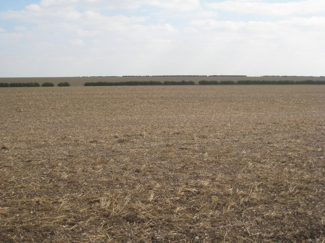
Blanch Wood is a picturesque woodland located in the county of Yorkshire, England. Situated near the village of Blanch, it covers an area of approximately 100 hectares and is known for its stunning natural beauty and diverse wildlife.

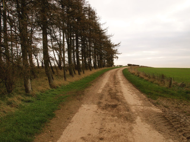
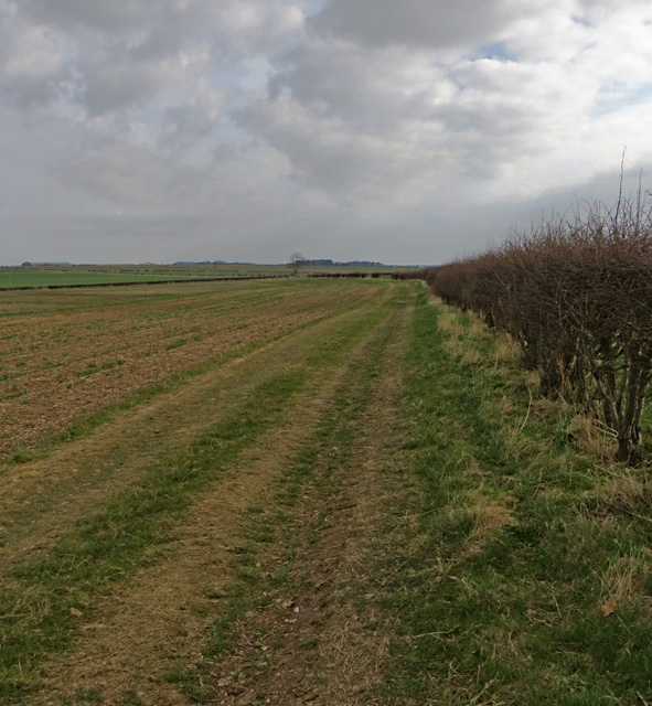
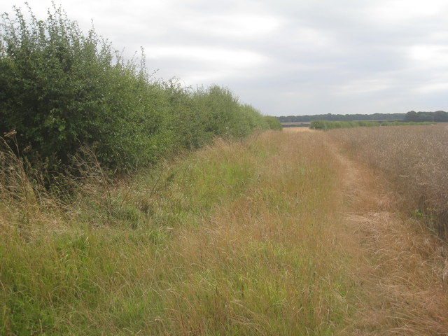
The wood is predominantly composed of deciduous trees, such as oak, beech, and birch, which create a dense canopy, providing a cool and shaded environment. The forest floor is covered in a thick layer of leaf litter, moss, and ferns, giving it a rich and vibrant appearance.

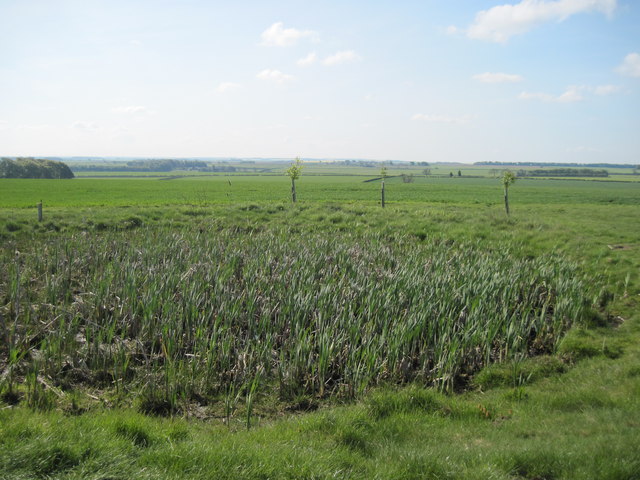
Blanch Wood is home to a variety of wildlife species, including deer, badgers, foxes, and numerous bird species. The woodland provides a sanctuary for these animals, offering a safe habitat and an abundant food source. Birdwatchers flock to the area to catch glimpses of rare species such as the Eurasian woodcock and the lesser spotted woodpecker.

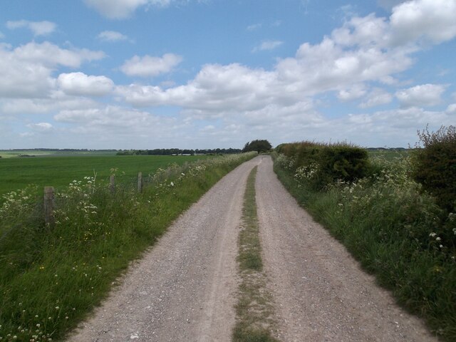
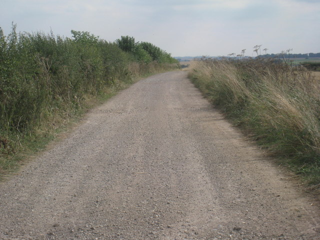
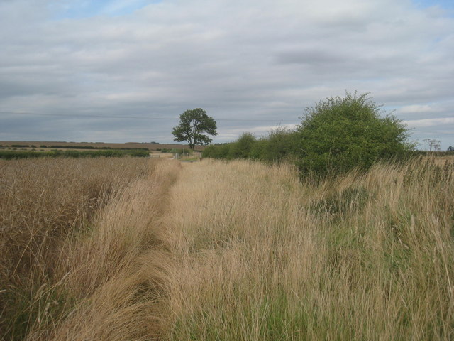
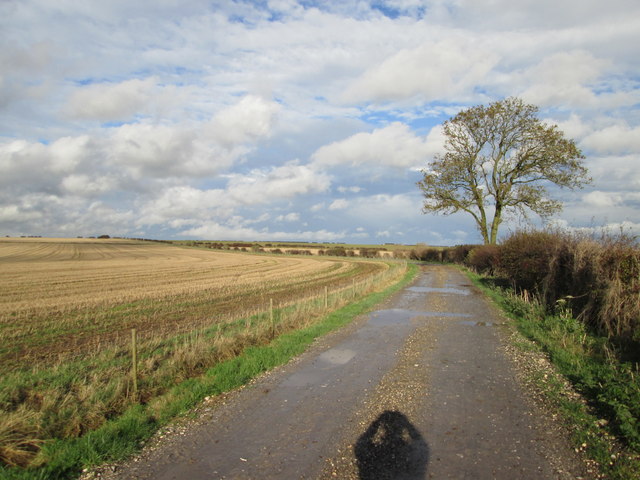
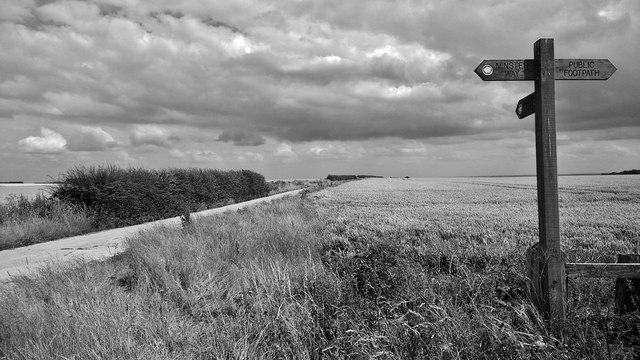
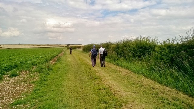
The wood is crisscrossed with a network of footpaths, making it a popular destination for walkers and nature enthusiasts. Visitors can enjoy a leisurely stroll through the peaceful surroundings, taking in the sights and sounds of the forest. There are also designated picnic areas, where families can relax and enjoy a meal while surrounded by nature.

Blanch Wood is managed by the local council, who work to preserve its natural beauty and protect its wildlife. The wood is open to the public throughout the year, providing a tranquil escape from the hustle and bustle of everyday life.

If you have any feedback on the listing, please let us know in the comments section below.
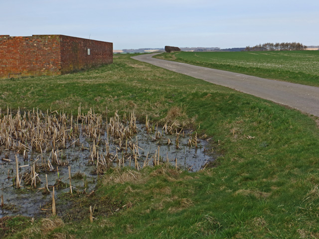
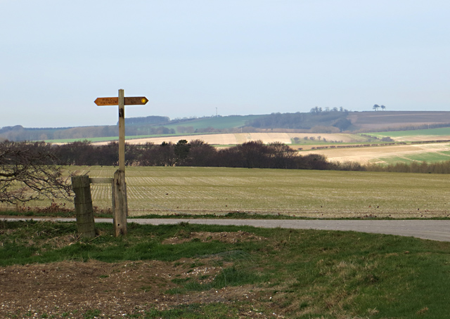
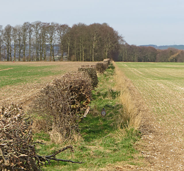
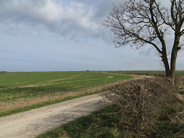
Blanch Wood Images

Images are sourced within 2km of 53.958726/-0.64503345 or Grid Reference SE8952. Thanks to Geograph Open Source API. All images are credited.

Track on top of the wold looking north
Dew  Pond  on  the  Yorkshire  Wolds As we have had a very dry spring it's dry. Alongside the Minster Way footpath.
Dew Pond on the Yorkshire Wolds
As we have had a very dry spring it's dry. Alongside the Minster Way footpath.
Farmland north east of Thirty Acres
Copse near Thirty Acres
By the Minster Way, E. Yorks A small pond and isolated farm buildings sit to the south of the farm road which carries the Minster Way west of North Dalton
By the Minster Way, E. Yorks
A small pond and isolated farm buildings sit to the south of the farm road which carries the Minster Way west of North Dalton
Yorkshire Wolds footpath junction The Minster Way route takes a right turn to the north here (indicated on the waymarker post); the footpath to the left runs along the farm road towards the B1246 Middleton to Warter road.
Yorkshire Wolds footpath junction
The Minster Way route takes a right turn to the north here (indicated on the waymarker post); the footpath to the left runs along the farm road towards the B1246 Middleton to Warter road.
Towards Thirty Acre Plantation Hedgerow to the west of the footpath/farm road (a pheasant is just about visible to the right of the hedge)
Towards Thirty Acre Plantation
Hedgerow to the west of the footpath/farm road (a pheasant is just about visible to the right of the hedge)
Footpath towards Huggate Farm track/public footpath running north from the B1246 Middleton to Warter road; eventually it joins the Minster Way and heads towards Huggate
Footpath towards Huggate
Farm track/public footpath running north from the B1246 Middleton to Warter road; eventually it joins the Minster Way and heads towards Huggate
Footpath on the Yorkshire Wolds Footpath running south of the B1246 to the west of Warter Farm House
Footpath on the Yorkshire Wolds
Footpath running south of the B1246 to the west of Warter Farm House
No crops were damaged in the taking of this photograph! Taken just off the Minster Way. This is one of the less exciting squares in this part of the Wolds and this stubble field just about sums it up.
No crops were damaged in the taking of this photograph!
Taken just off the Minster Way. This is one of the less exciting squares in this part of the Wolds and this stubble field just about sums it up.
Footpath near Thirty Acres Uses this farm track.
Footpath near Thirty Acres
Uses this farm track.
View towards Arden Fleets Open Yorkshire Wolds scenery.
View towards Arden Fleets
Open Yorkshire Wolds scenery.
Footpath to Middleton Road Rather hard going at this time of year due to the uncut vegetation.
Footpath to Middleton Road
Rather hard going at this time of year due to the uncut vegetation.
Footpath to the B1246 Rather hard going at this time of year owing to the uncut vegetation.
Footpath to the B1246
Rather hard going at this time of year owing to the uncut vegetation.
Track  from  the  B1246  to  Blanch  Farm It is also a footpath and links to the long distance Minster Way on the wold top.
Track from the B1246 to Blanch Farm
It is also a footpath and links to the long distance Minster Way on the wold top.
High on the Yorkshire Wolds... ... a touch of nostalgia overtook me. I took some of my first pictures around here in the 1950s with a 1920s pin hole box camera. Sadly, none have survived.

The Minster Way connects the magnificent minsters of Beverley and York in a 50 mile route across the Wolds and in the Derwent valley; see; <span class="nowrap"><a title="https://www.ldwa.org.uk/ldp/members/show_path.php?path_name=Minster+Way" rel="nofollow ugc noopener" href="https://www.ldwa.org.uk/ldp/members/show_path.php?path_name=Minster+Way">Link</a><img style="margin-left:2px;" alt="External link" title="External link - shift click to open in new window" src="https://s1.geograph.org.uk/img/external.png" width="10" height="10"/></span>
High on the Yorkshire Wolds...
... a touch of nostalgia overtook me. I took some of my first pictures around here in the 1950s with a 1920s pin hole box camera. Sadly, none have survived. The Minster Way connects the magnificent minsters of Beverley and York in a 50 mile route across the Wolds and in the Derwent valley; see; LinkExternal link
Track near Dalton Gates Potatoes coming on well in the field
Track near Dalton Gates
Potatoes coming on well in the field
Combine going to harvest Curiously, this machine was exiting a field of peas.
Combine going to harvest
Curiously, this machine was exiting a field of peas.
Show me another place!

Blanch Wood is located at Grid Ref: SE8952 (Lat: 53.958726, Lng: -0.64503345)

Division: East Riding

Unitary Authority: East Riding of Yorkshire

Police Authority: Humberside

What 3 Words

///dolphins.solicitor.grocers. Near Millington, East Yorkshire

Related Wikis

Bigger Trees Near Warter

Bigger Trees Near Warter or ou Peinture en Plein Air pour l'age Post-Photographique is a large landscape painting by British artist David Hockney. Measuring...

St James' Church, Warter

St James’ Church lies in Warter, an estate village in England, in the Yorkshire Wolds, part of the East Riding of Yorkshire. == Origins and history... ==

Warter

Warter is a small village and civil parish in the East Riding of Yorkshire, England. It is situated approximately 4 miles (6.4 km) east of Pocklington...

Huggate

Huggate is a village and civil parish in the East Riding of Yorkshire, England. It is situated approximately 13 miles (21 km) north-west of Beverley town...
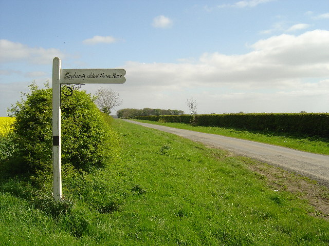
Kiplingcotes Derby

Kiplingcotes Derby (also spelt Kipling Cotes), run at Kiplingcotes in the East Riding of Yorkshire, is widely accepted to be the oldest annual horse race...

North Dalton

North Dalton is a village and civil parish in the East Riding of Yorkshire, England. It is situated approximately 6 miles (10 km) south-west of the town...

Warter Priory

Warter Priory is an 11,000 acres (4,500 ha) country estate in the East Riding of Yorkshire Yorkshire Wolds, centred 1 mile (2 km) south-west of the village...

Nunburnholme Priory

Nunburnholme Priory was a priory of Benedictine nuns in the East Riding of Yorkshire, England. It was founded during the reign of Henry II of England by...

Nearby Amenities

Located within 500m of 53.958726,-0.64503345
The data included in this document is from www.openstreetmap.org. The data is made available under ODbL.

Have you been to Blanch Wood?

Leave your review of Blanch Wood below (or comments, questions and feedback).