King's Wood

Wood, Forest in Buckinghamshire

England

King's Wood

Car Park in Gomm's Wood
Car Park in Gomm's Wood Credit: David Howard

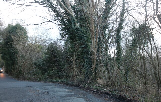
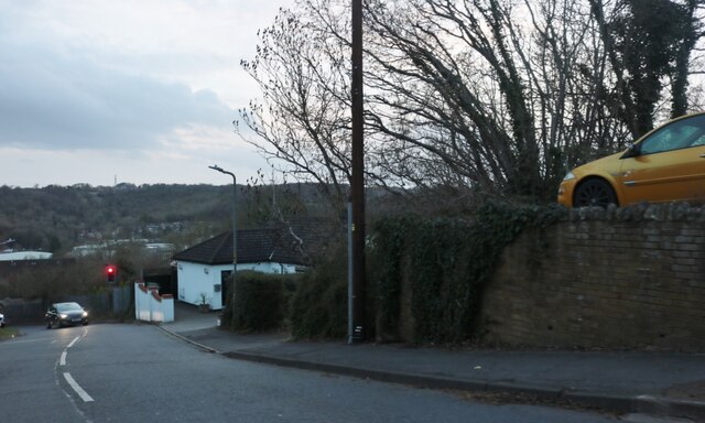
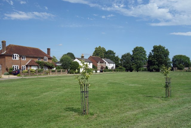
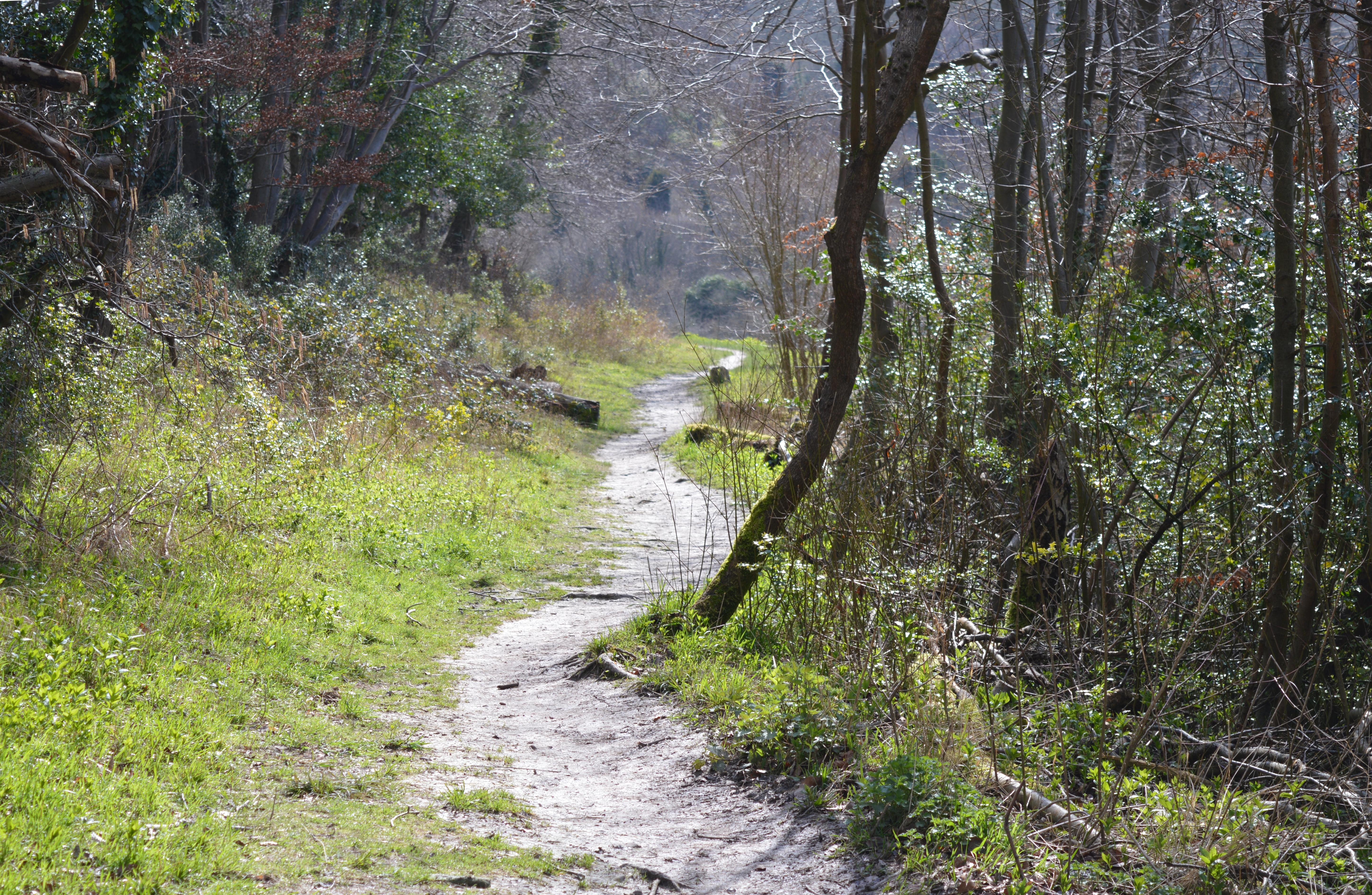
King's Wood, located in Buckinghamshire, is a magnificent woodland area that spans over 1,500 acres. Situated within the heart of the Chiltern Hills, this ancient forest is renowned for its natural beauty and rich biodiversity. King's Wood is a combination of dense woodland, open glades, and meandering footpaths, making it an ideal destination for nature enthusiasts, hikers, and birdwatchers alike.

The woodland is predominantly composed of beech trees, interspersed with oak, ash, and birch trees, creating a diverse and vibrant ecosystem. The forest floor is carpeted with a variety of wildflowers, creating a stunning display of colors during the spring and summer months. Along with the flora, King's Wood is also home to numerous wildlife species, including deer, foxes, badgers, and a wide range of bird species such as woodpeckers, owls, and buzzards.

The woodlands of King's Wood have a rich historical significance, with evidence of human habitation dating back thousands of years. Archaeological remains, including Iron Age hillforts and Roman pottery, have been discovered within the forest, adding to its cultural importance.

The forest is managed by the Forestry Commission, ensuring its preservation and conservation for future generations. As a result, King's Wood offers a range of recreational activities, such as walking trails, cycling routes, and picnic areas for visitors to enjoy. It also serves as an educational resource for schools and organizations, providing opportunities to learn about the importance of woodland conservation and sustainable forestry practices.

In conclusion, King's Wood is a captivating woodland area that boasts natural beauty, diverse wildlife, and a rich historical heritage. Its serene atmosphere and abundant recreational opportunities make it a must-visit destination for nature lovers and history enthusiasts in Buckinghamshire.

If you have any feedback on the listing, please let us know in the comments section below.
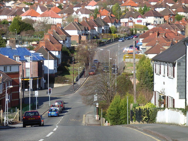
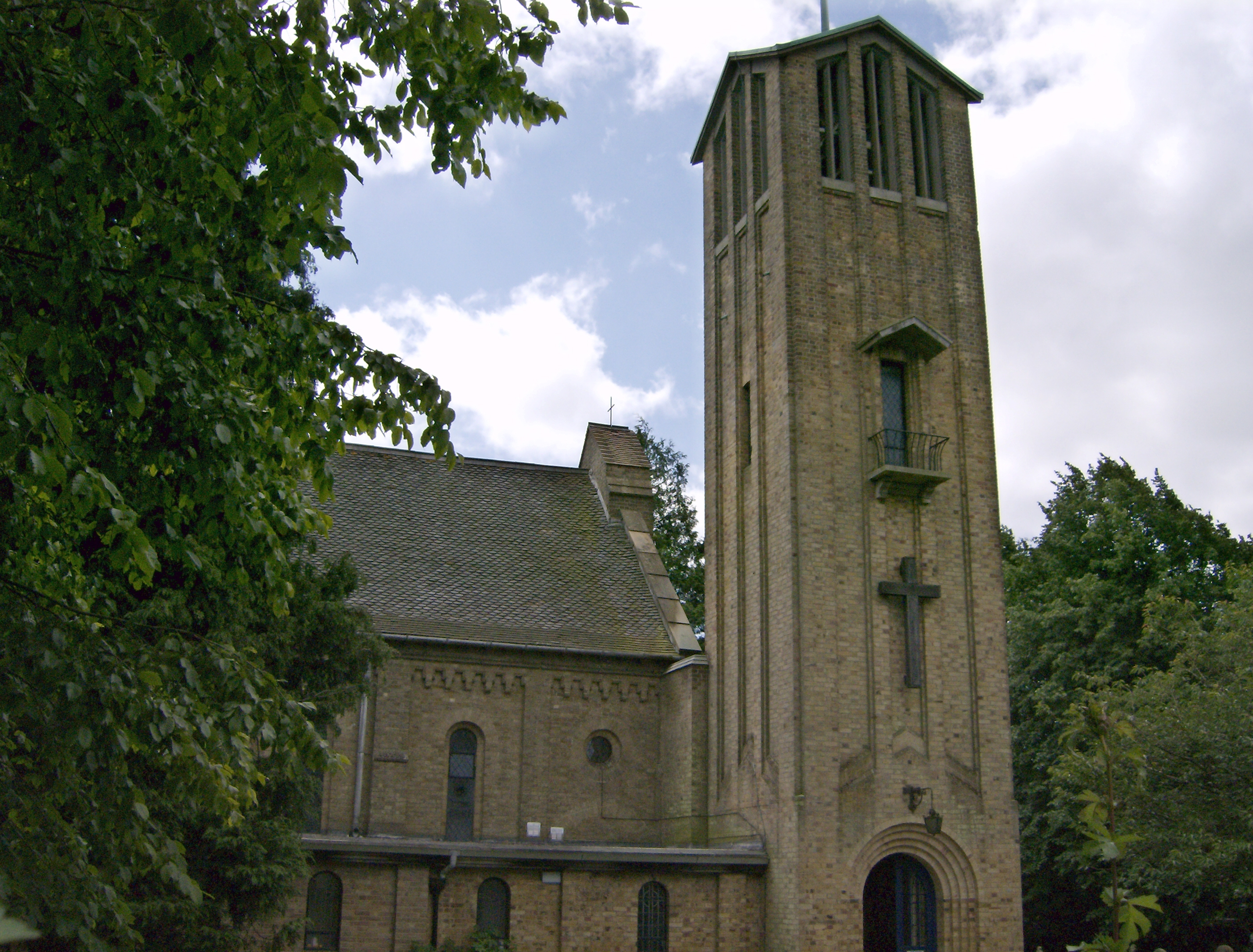
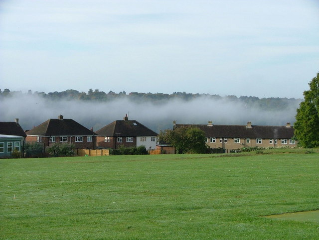
King's Wood Images

Images are sourced within 2km of 51.639563/-0.71527848 or Grid Reference SU8994. Thanks to Geograph Open Source API. All images are credited.

Car Park in Gomm's Wood
Cock Lane, Wycombe Marsh By Gomm's Wood
Cock Lane, Wycombe Marsh
By Gomm's Wood
Cock Lane, Wycombe Marsh
Cock Lane at the junction of Olympic Way
Cock Lane, Wycombe Marsh
Bungalow on Cock Lane, Wycombe Marsh
The Crown, Hazlemere Pub on Amersham Road. From a distance it looks like it's faced with flint which is traditional in this area, but it's actually chalk rubble, or clunch, a hard type of chalk which was also often used.
The Crown, Hazlemere
Pub on Amersham Road. From a distance it looks like it's faced with flint which is traditional in this area, but it's actually chalk rubble, or clunch, a hard type of chalk which was also often used.
The Atrium Café at Hazlemere Church A spacious modern refectory attached to Holy Trinity Church on Amersham Road.
The Atrium Café at Hazlemere Church
A spacious modern refectory attached to Holy Trinity Church on Amersham Road.
Grove Road, Hazlemere A private road with a gravel surface and a lot of poles.
Grove Road, Hazlemere
A private road with a gravel surface and a lot of poles.
Closed Lloyds Bank branch, Hazlemere Located at 15 Penn Road HP15 7LN, this bank branch closed permanently on Thursday 21st September 2023. It was one of 53 such branches that are scheduled to close between September 2023 and May 2024.
Closed Lloyds Bank branch, Hazlemere
Located at 15 Penn Road HP15 7LN, this bank branch closed permanently on Thursday 21st September 2023. It was one of 53 such branches that are scheduled to close between September 2023 and May 2024.
New Road, Tylers Green That is the strangest bus stop I have ever come across.
New Road, Tylers Green
That is the strangest bus stop I have ever come across.
Blue Bugatti at the Red Lion Outside the pub in Tyler's Green
Blue Bugatti at the Red Lion
Outside the pub in Tyler's Green
Elm Road, Tylers Green There are old ghost signs on the wall of the place on the right. Too far gone to read. An old pub, maybe.
Elm Road, Tylers Green
There are old ghost signs on the wall of the place on the right. Too far gone to read. An old pub, maybe.
Tylers Green Pond With the pond and the pub and the green, this bit of Tylers Green still looks like a village even though it's now joined on to the suburbs of High Wycombe.
Tylers Green Pond
With the pond and the pub and the green, this bit of Tylers Green still looks like a village even though it's now joined on to the suburbs of High Wycombe.
Tylers Green The reason for the village's name presumably.
Tylers Green
The reason for the village's name presumably.
Houses on Tylers Green, near Penn There is a large green with houses, a school and a public house around it.
Houses on Tylers Green, near Penn
There is a large green with houses, a school and a public house around it.
Pond on Tylers Green, near Penn Duckpond on a village green - on the fringe of the modern housing of High Wycombe but retaining the village character
Pond on Tylers Green, near Penn
Duckpond on a village green - on the fringe of the modern housing of High Wycombe but retaining the village character
Ashley Drive, Tyler's Green Modern houses occupy most of the western half of the grid-square.
Ashley Drive, Tyler's Green
Modern houses occupy most of the western half of the grid-square.
Show me another place!

King's Wood is located at Grid Ref: SU8994 (Lat: 51.639563, Lng: -0.71527848)

Unitary Authority: Buckinghamshire

Police Authority: Thames Valley

What 3 Words

///still.vouch.safely. Near High Wycombe, Buckinghamshire

Nearby Locations

King's Wood Tylers Green

Related Wikis

Gomm's Wood

Gomm's Wood is an 18.1 hectares (45 acres) Local Nature Reserve in High Wycombe in Buckinghamshire. It is owned and managed by Wycombe District Council...

Sir William Ramsay School

Sir William Ramsay School is a co-educational secondary school in Hazlemere, Buckinghamshire. It takes children from the age of 11 through to the age of...

Bowerdean, Micklefield and Totteridge

Bowerdean, Micklefield and Totteridge is a political division of Buckinghamshire County Council in Buckinghamshire, England. It is a two-seat constituency...

Micklefield, High Wycombe

Micklefield is a ward of High Wycombe, Buckinghamshire, located on the eastern side of the town. Surrounded on one side by the Chiltern Hills and King...

Hazlemere

Hazlemere is a large village and civil parish in Buckinghamshire, England, 2.5 miles (4.0 km) northeast of High Wycombe on the A404 leading to Amersham...

Highcrest Academy

Highcrest Academy, formerly known as Highcrest Community School and before that as Hatters Lane School, is situated on Hatters Lane Hill in High Wycombe...

Lady Verney High School

Lady Verney High School was a girls' grammar school in High Wycombe, Buckinghamshire, England that closed in 1993. == History == The origin of the school...

Royal Grammar School, High Wycombe

The Royal Grammar School, High Wycombe, is a selective boys' grammar school situated in High Wycombe, Buckinghamshire, England. As a state school, it does...

Nearby Amenities

Located within 500m of 51.639563,-0.71527848
Give Way
Direction: backward
Lat/Long: 51.6353509/-0.7166073
Turning Circle
Turning Circle: hammer
Lat/Long: 51.6383341/-0.7089341
Turning Circle
Turning Circle: hammer
Lat/Long: 51.6414833/-0.7134333
Barrier: bollard
Bicycle: yes
Foot: yes
Lat/Long: 51.643762/-0.7140767
Turning Circle
Turning Circle: knuckle
Lat/Long: 51.6439159/-0.7144964
Post Box
Brand: Royal Mail
Brand Wikidata: Q638098
Brand Wikipedia: en:Royal Mail
Collection Times: Mo-Fr 16:30; Sa 12:00
Collection Times Old: Mo-Fr 16:45; Sa 12:00
Note: Revised collection times from 4th January 2016.
Operator: Royal Mail
Operator Wikidata: Q638098
Post Box Type: pillar
Ref: HP13 15
Royal Cypher: EIIR
Royal Cypher Wikidata: Q33102113
Source: survey
Survey Date: 2015-12-29
Lat/Long: 51.6408263/-0.7220832
Barrier: kissing_gate
Lat/Long: 51.6359031/-0.7156282
Barrier: kissing_gate
Bicycle: yes
Foot: yes
Lat/Long: 51.6386956/-0.7138328
Barrier: kissing_gate
Bicycle: yes
Foot: yes
Lat/Long: 51.6386291/-0.7136538
Grit Bin
Lat/Long: 51.6397468/-0.712906
Grit Bin
Lat/Long: 51.6404649/-0.7083654
Grit Bin
Lat/Long: 51.6414755/-0.71027
Grit Bin
Lat/Long: 51.6418725/-0.7119594
Barrier: kissing_gate
Lat/Long: 51.6393611/-0.7212673
Bench
Backrest: yes
Lat/Long: 51.6392411/-0.7162772
Waste Basket
Waste: dog_excrement
Lat/Long: 51.6387084/-0.713874
Crossing
Crossing: unmarked
Lat/Long: 51.6390709/-0.7221523
Crossing
Crossing: unmarked
Lat/Long: 51.6405555/-0.7221914
Direction: 145
Generator Method: photovoltaic
Generator Output Electricity: yes
Generator Solar Modules: 18
Generator Source: solar
Generator Type: solar_photovoltaic_panel
Location: roof
Power: generator
Lat/Long: 51.6354524/-0.7160687
Turning Circle
Turning Circle: knuckle
Lat/Long: 51.6389019/-0.7088099
Turning Circle
Turning Circle: knuckle
Lat/Long: 51.6414827/-0.7122696
Turning Circle
Turning Circle: knuckle
Lat/Long: 51.6436849/-0.7139782
Direction: 210
Generator Method: photovoltaic
Generator Output Electricity: yes
Generator Solar Modules: 16
Generator Source: solar
Generator Type: solar_photovoltaic_panel
Location: roof
Power: generator
Lat/Long: 51.6438613/-0.7137139
Bus Stop
Bus: yes
Public Transport: platform
Lat/Long: 51.6387324/-0.7223258
The data included in this document is from www.openstreetmap.org. The data is made available under ODbL.

Have you been to King's Wood?

Leave your review of King's Wood below (or comments, questions and feedback).