Hazelwood
Settlement in Kent
England
Hazelwood
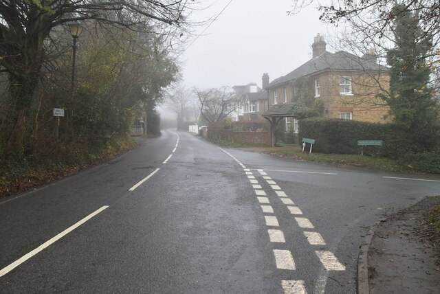
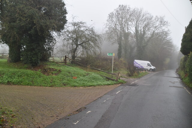
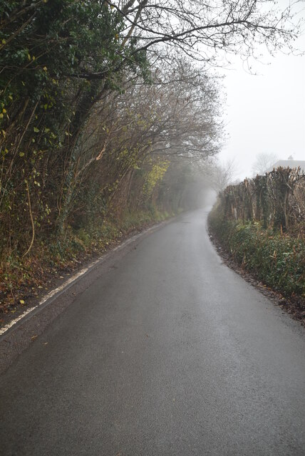
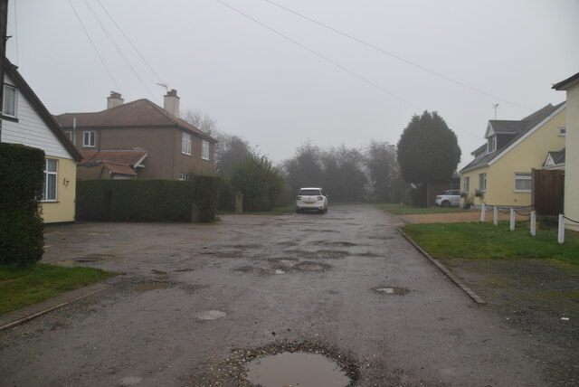
Hazelwood is a small village located in the county of Kent, England. Situated in the southeastern part of the country, it falls within the borough of Tonbridge and Malling. The village is nestled amidst the picturesque Kentish countryside, surrounded by rolling hills and lush greenery, making it an ideal destination for nature lovers and outdoor enthusiasts.
Hazelwood is known for its tranquil and idyllic setting, offering residents and visitors a peaceful retreat away from the hustle and bustle of city life. The village boasts a tight-knit community, with a population of approximately 500 people. It has a charming and quaint atmosphere, with traditional red-brick cottages and picturesque gardens lining the streets.
Despite its small size, Hazelwood offers a few amenities to cater to the needs of its residents. These include a village hall, a local pub, and a small convenience store, providing basic necessities. The village also benefits from its proximity to larger towns, such as Tonbridge and Maidstone, where residents can access a wider range of services and amenities.
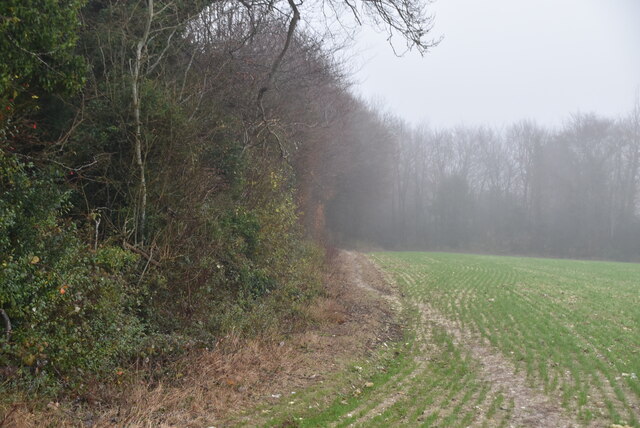
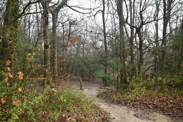
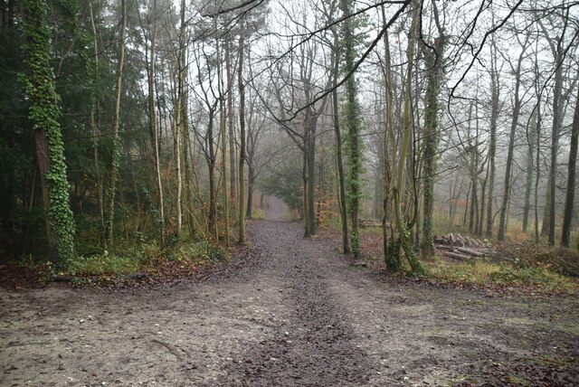
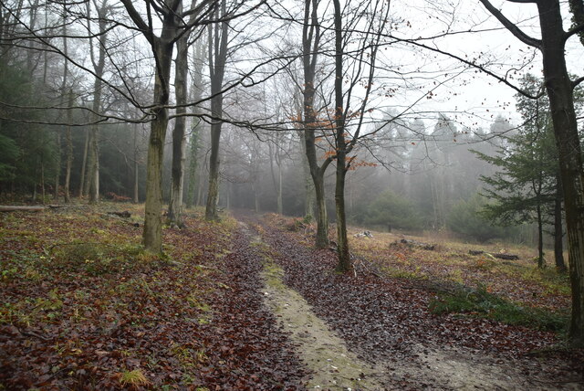
For those seeking recreational activities, Hazelwood is surrounded by beautiful countryside, offering ample opportunities for walking, cycling, and exploring nature. The village is also within easy reach of popular attractions in the area, including historic castles, charming market towns, and the stunning Kent coastline.
Overall, Hazelwood is a charming village in Kent that offers a peaceful and picturesque setting, making it an attractive place to reside or visit for those seeking a rural retreat.
If you have any feedback on the listing, please let us know in the comments section below.
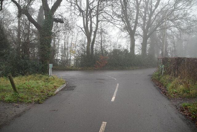
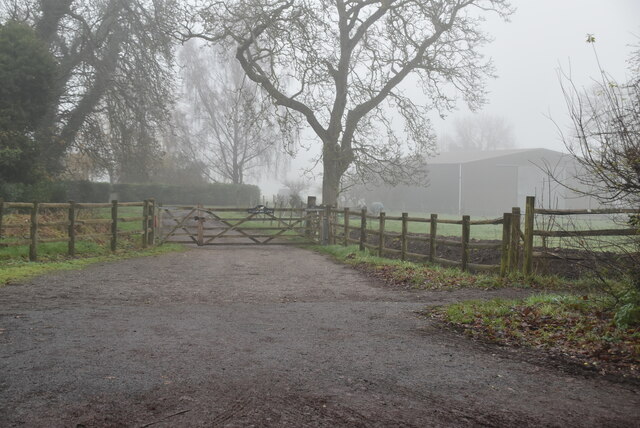
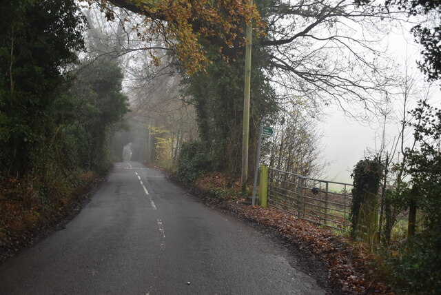
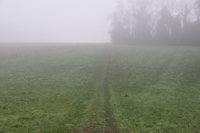
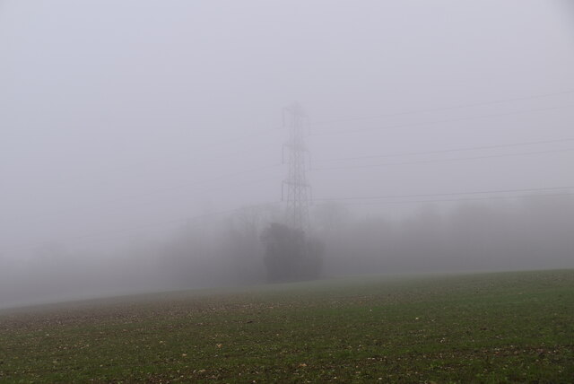
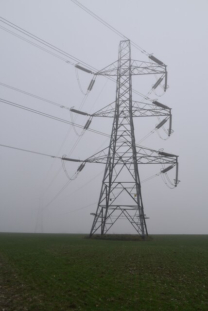
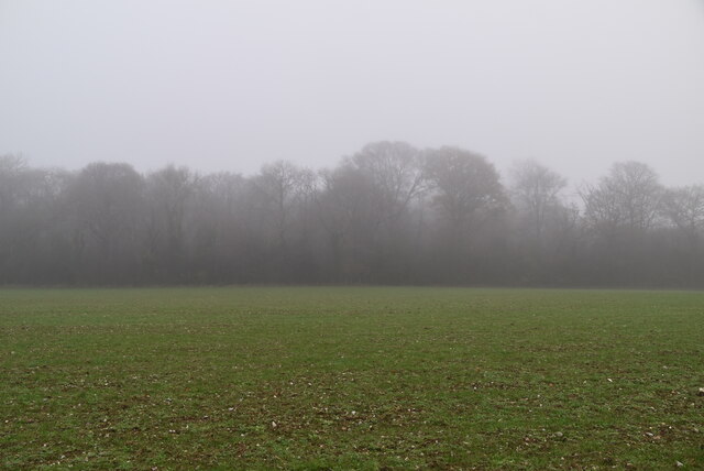
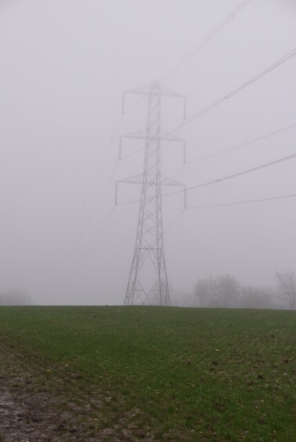
Hazelwood Images
Images are sourced within 2km of 51.334922/0.07623 or Grid Reference TQ4461. Thanks to Geograph Open Source API. All images are credited.


Hazelwood is located at Grid Ref: TQ4461 (Lat: 51.334922, Lng: 0.07623)
Unitary Authority: Bromley
Police Authority: Metropolitan
What 3 Words
///cheat.busy.mops. Near Farnborough, London
Nearby Locations
Related Wikis

Hazelwood, London
Hazelwood is a hamlet in Greater London, England. It is located within the London Borough of Bromley, to the east of Downe. == References ==

London Borough of Bromley
The London Borough of Bromley ( ) is the largest and southeasternmost of the London boroughs that make up Greater London, bordering the county of Kent...

Downe Bank
Downe Bank is a nature reserve owned and managed by the Kent Wildlife Trust in the North Downs, close to Downe in the London Borough of Bromley. It is...

St Mary's Church, Downe
St Mary's Church in the village of Downe, Bromley (formerly Kent) is the Church of England Parish Church for the parish of Downe. It is a Grade II* listed...

Elinor Darwin
Elinor Mary Darwin (née Monsell; 1879–1954) was an Irish born illustrator, engraver and portrait painter. Her illustrations were included in several of...

Downe
Downe, formerly Down, () is a village in Greater London, England, located within the London Borough of Bromley but beyond London's contiguous urban area...

Down House
Down House is the former home of the English naturalist Charles Darwin and his family. It was in this house and garden that Darwin worked on his theory...

Luxted
Luxted is a hamlet in the London Borough of Bromley, located to the south of Downe. The area is rural, noted for its abundance of woods and grasslands...
Nearby Amenities
Located within 500m of 51.334922,0.07623Have you been to Hazelwood?
Leave your review of Hazelwood below (or comments, questions and feedback).