Burnt Gorse
Wood, Forest in Kent
England
Burnt Gorse
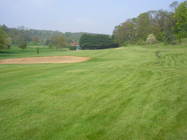
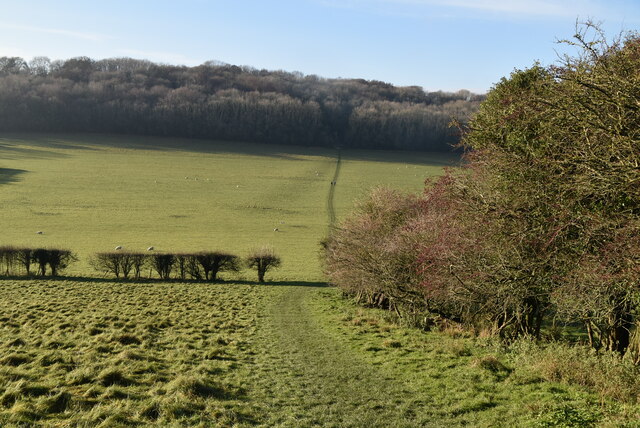
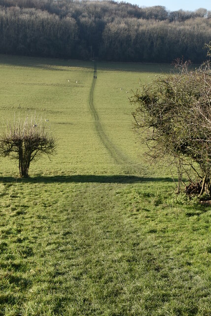
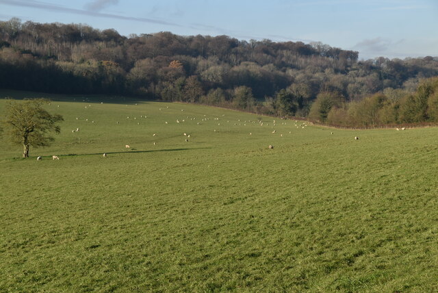
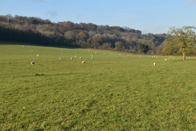
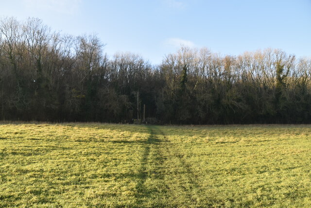
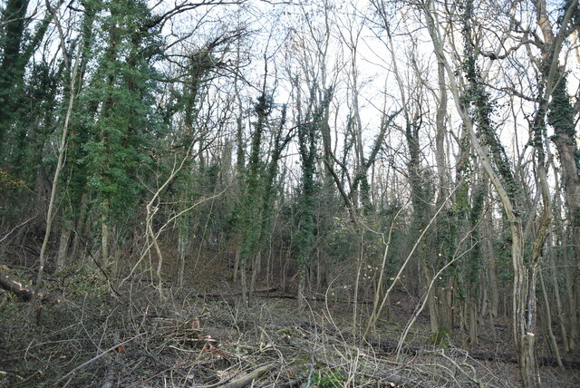
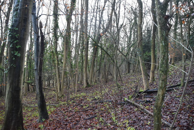
Burnt Gorse is a woodland area located in Kent, England. Situated in the southeast region of the county, it covers an approximate area of 500 acres. The woodland is part of the Kent Downs Area of Outstanding Natural Beauty, renowned for its picturesque landscapes and diverse flora and fauna.
The name "Burnt Gorse" refers to the dominant vegetation found in the area, which consists mainly of gorse bushes. Gorse, also known as Ulex europaeus, is a spiny evergreen shrub that blooms with vibrant yellow flowers during the spring and summer months. The gorse bushes create a stunning display of color and provide a habitat for various bird species, including stonechats, linnets, and yellowhammers.
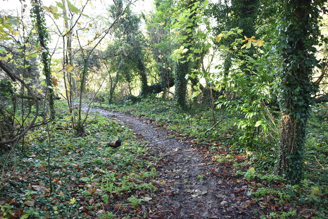
The woodland itself is characterized by a mix of broadleaf trees, such as oak, beech, and ash, which provide a rich canopy cover and create a diverse habitat for wildlife. The forest floor is adorned with a variety of wildflowers, ferns, and mosses, adding to the natural beauty of the area.
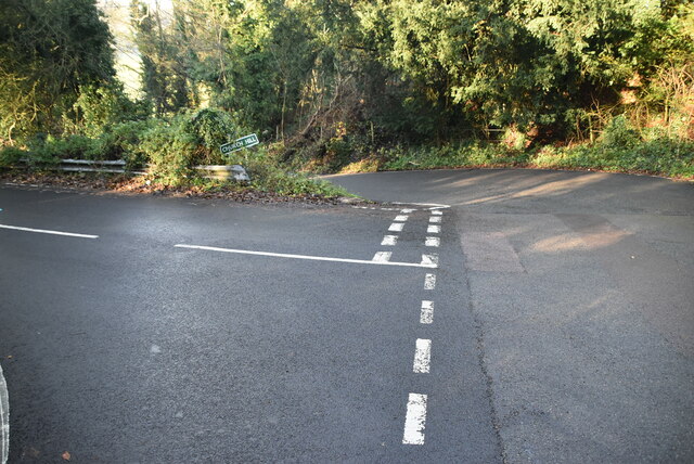
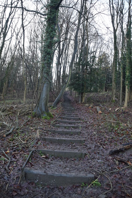
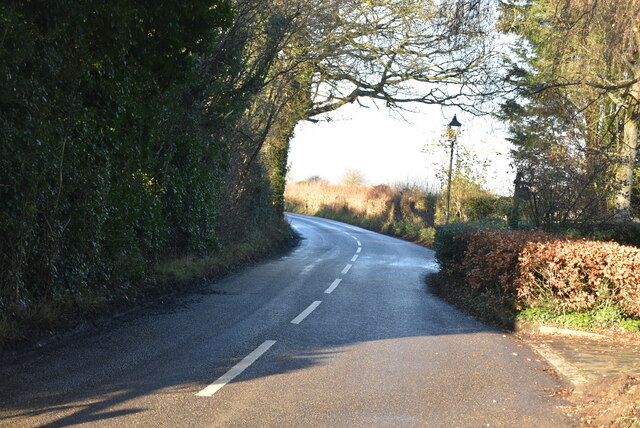
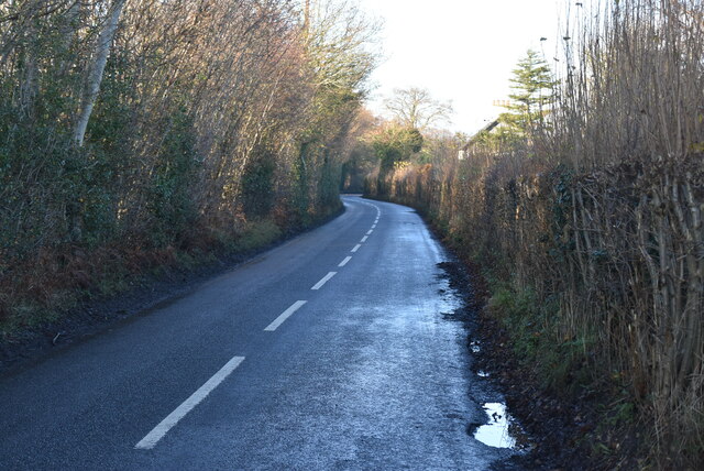
Burnt Gorse is a popular destination for outdoor enthusiasts and nature lovers, offering numerous walking trails and footpaths that wind through the woodland. Visitors can explore the area's natural wonders, spot wildlife, and enjoy the peaceful ambiance of this tranquil woodland.
Managed by the local authorities, Burnt Gorse is well-maintained, ensuring the preservation of its natural ecosystem. It serves as an important refuge for wildlife and a valuable green space for the local community, providing a recreational and educational resource for all to enjoy.
If you have any feedback on the listing, please let us know in the comments section below.
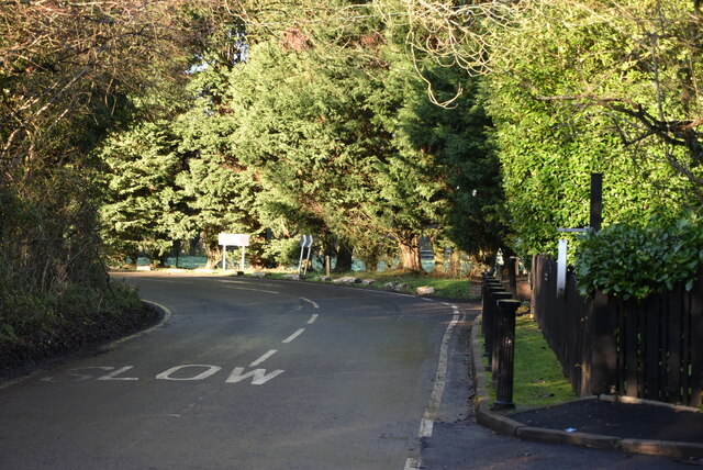
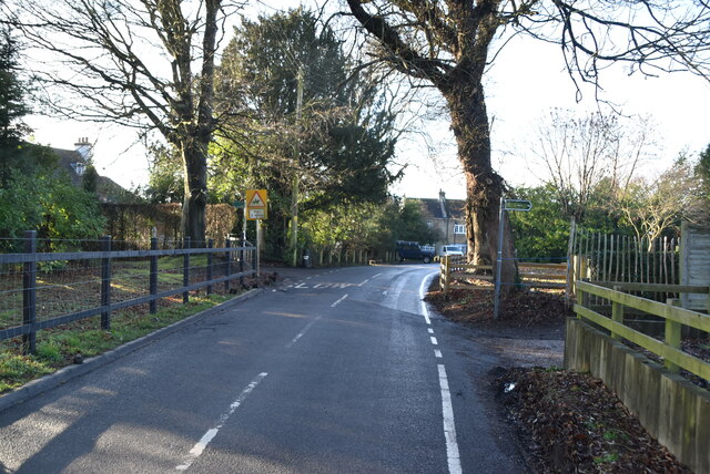
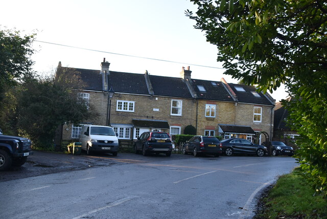
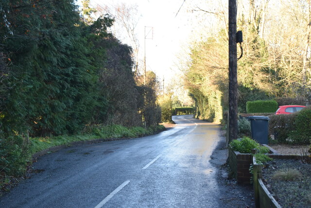
Burnt Gorse Images
Images are sourced within 2km of 51.337754/0.069829012 or Grid Reference TQ4461. Thanks to Geograph Open Source API. All images are credited.
Burnt Gorse is located at Grid Ref: TQ4461 (Lat: 51.337754, Lng: 0.069829012)
Unitary Authority: Bromley
Police Authority: Metropolitan
What 3 Words
///owls.stars.senses. Near Farnborough, London
Nearby Locations
Related Wikis

Hazelwood, London
Hazelwood is a hamlet in Greater London, England. It is located within the London Borough of Bromley, to the east of Downe. == References ==

Downe Bank
Downe Bank is a nature reserve owned and managed by the Kent Wildlife Trust in the North Downs, close to Downe in the London Borough of Bromley. It is...

London Borough of Bromley
The London Borough of Bromley ( ) is the largest and southeasternmost of the London boroughs that make up Greater London, bordering the ceremonial county...

St Mary's Church, Downe
St Mary's Church in the village of Downe, Bromley (formerly Kent) is the Church of England Parish Church for the parish of Downe. It is a Grade II* listed...

Elinor Darwin
Elinor Mary Darwin (née Monsell; 1879–1954) was an Irish born illustrator, engraver and portrait painter. Her illustrations were included in several of...

Downe
Downe, formerly Down, () is a village in Greater London, England, located within the London Borough of Bromley but beyond London's contiguous urban area...

Down House
Down House is the former home of the English naturalist Charles Darwin and his family. It was in this house and garden that Darwin worked on his theory...

Luxted
Luxted is a hamlet in the London Borough of Bromley, located to the south of Downe. The area is rural, noted for its abundance of woods and grasslands...
Related Videos


Walking from Leaves Green to New Addington Live! 02/07/2019 - Mobile Stream (53)
This is just another mobile stream with my smartphone walking from Leaves Green to New Addington.


Ivan Strelets - High Elms Driving And Walking (Original Music Video)
Jump into the driver's seat for a scenic sunny autumn day drive and walk through the lush High Elms countryside in Orpington, ...
Nearby Amenities
Located within 500m of 51.337754,0.069829012Have you been to Burnt Gorse?
Leave your review of Burnt Gorse below (or comments, questions and feedback).