Millfield Wood
Wood, Forest in Kent
England
Millfield Wood
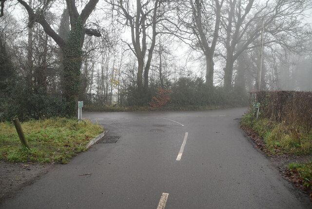
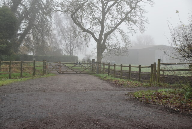
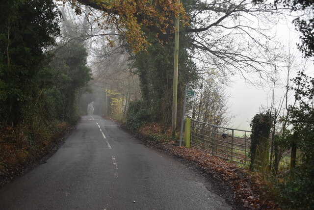
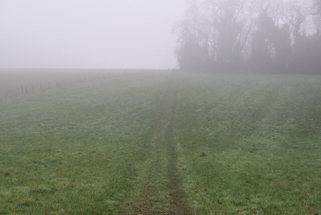
Millfield Wood is a picturesque woodland located in the county of Kent, England. Situated near the village of Millfield, the wood covers an area of approximately 20 acres. It is part of a larger forested area known as Millfield Forest.
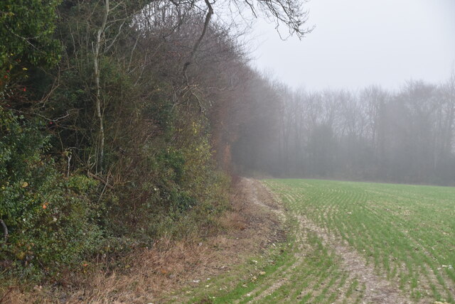
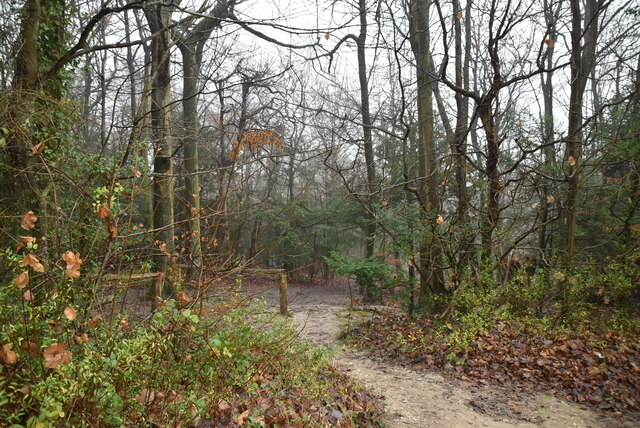
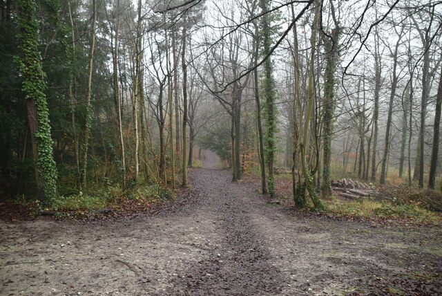
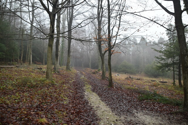
The wood is characterized by its diverse range of tree species, including oak, beech, ash, and birch. These trees create a dense canopy, providing a shaded and tranquil environment for visitors to explore. The forest floor is covered in a carpet of wildflowers, adding bursts of color to the landscape during the spring and summer months.
Millfield Wood is home to a variety of wildlife, making it a popular destination for nature enthusiasts and birdwatchers. Visitors may catch a glimpse of woodland creatures such as squirrels, rabbits, and deer, as well as a wide variety of bird species including woodpeckers, owls, and songbirds.
The wood is crisscrossed by a network of well-maintained walking trails, allowing visitors to easily navigate the area and take in the natural beauty. There is also a small picnic area where visitors can relax and enjoy a meal amidst the peaceful surroundings.
Millfield Wood is open to the public throughout the year, with no admission fee. It offers a serene escape from the hustle and bustle of everyday life, providing a perfect opportunity to connect with nature and enjoy the tranquility of the woodland setting.
If you have any feedback on the listing, please let us know in the comments section below.
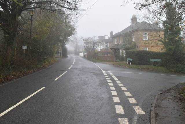
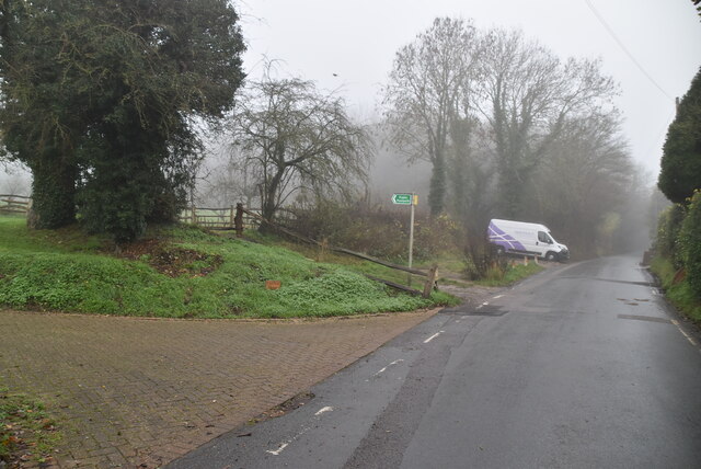
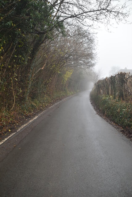
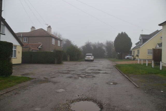
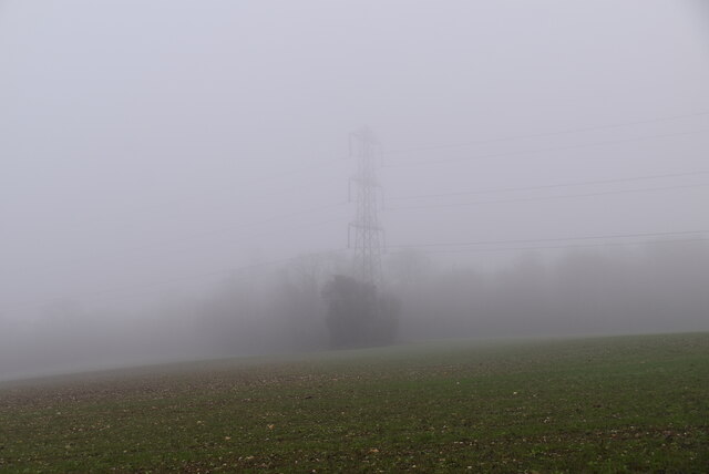
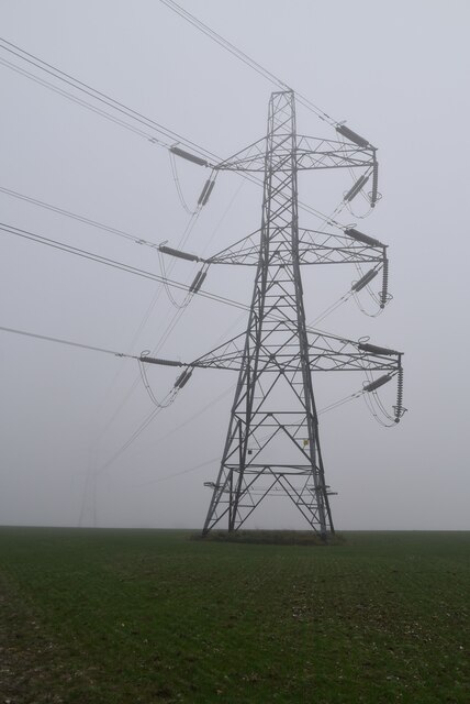
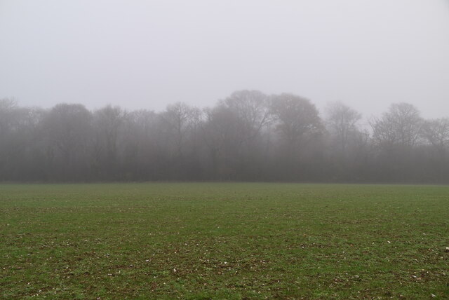
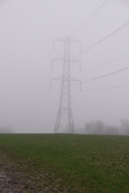
Millfield Wood Images
Images are sourced within 2km of 51.330953/0.07860951 or Grid Reference TQ4461. Thanks to Geograph Open Source API. All images are credited.


Millfield Wood is located at Grid Ref: TQ4461 (Lat: 51.330953, Lng: 0.07860951)
Unitary Authority: Bromley
Police Authority: Metropolitan
What 3 Words
///salon.water.jazzy. Near Farnborough, London
Nearby Locations
Related Wikis

London Borough of Bromley
The London Borough of Bromley ( ) is the largest and southeasternmost of the London boroughs that make up Greater London, bordering the county of Kent...

Hazelwood, London
Hazelwood is a hamlet in Greater London, England. It is located within the London Borough of Bromley, to the east of Downe. == References ==

Downe Bank
Downe Bank is a nature reserve owned and managed by the Kent Wildlife Trust in the North Downs, close to Downe in the London Borough of Bromley. It is...

Cudham
Cudham is a village in Greater London, England, located within the London Borough of Bromley and beyond London's urban sprawl. It is located on the Greater...

Luxted
Luxted is a hamlet in the London Borough of Bromley, located to the south of Downe. The area is rural, noted for its abundance of woods and grasslands...

Down House
Down House is the former home of the English naturalist Charles Darwin and his family. It was in this house and garden that Darwin worked on his theory...

St Mary's Church, Downe
St Mary's Church in the village of Downe, Bromley (formerly Kent) is the Church of England Parish Church for the parish of Downe. It is a Grade II* listed...

Single Street
Single Street is a hamlet in the London Borough of Bromley in Greater London, located between Luxted and Berry's Green, and centred around a street of...
Nearby Amenities
Located within 500m of 51.330953,0.07860951Have you been to Millfield Wood?
Leave your review of Millfield Wood below (or comments, questions and feedback).