West Carr

Downs, Moorland in Yorkshire

England

West Carr

Traffic lights for Sutton Bridge Looking along Elvington Lane towards the bridge over the Derwent.
Traffic lights for Sutton Bridge Credit: DS Pugh

West Carr is a picturesque region located in the county of Yorkshire, England. Nestled between the stunning Yorkshire Downs and the vast Moorland, this area is renowned for its breathtaking natural beauty and tranquil atmosphere.

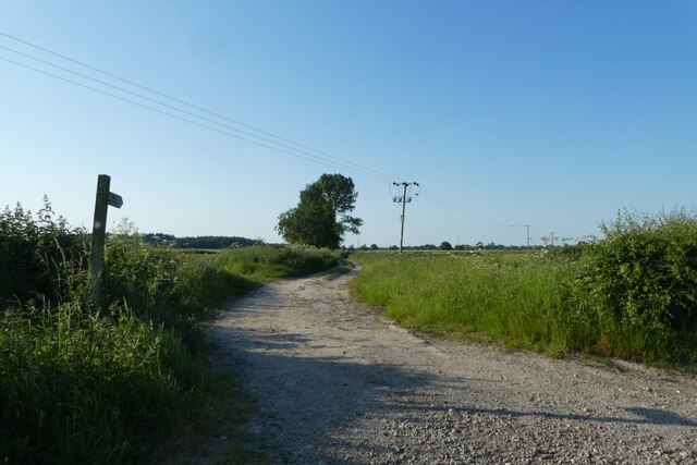
The Yorkshire Downs, characterized by rolling hills and expansive green fields, dominate the western part of West Carr. This idyllic landscape offers visitors and locals alike the opportunity to engage in various outdoor activities such as hiking, cycling, and horseback riding. The Downs are also home to an array of flora and fauna, making it a haven for nature enthusiasts and wildlife lovers.

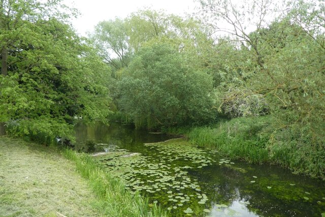
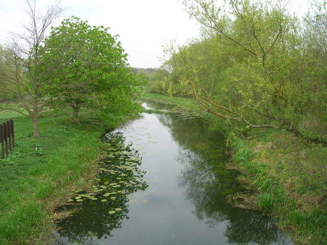
To the east of West Carr lies the Moorland, a rugged and wild terrain that stretches as far as the eye can see. This area is known for its dramatic landscapes, including heather-covered hills, rocky outcrops, and vast expanses of open moor. The Moorland provides a unique habitat for a diverse range of plant and animal species, including rare birds such as the red grouse and the golden plover.

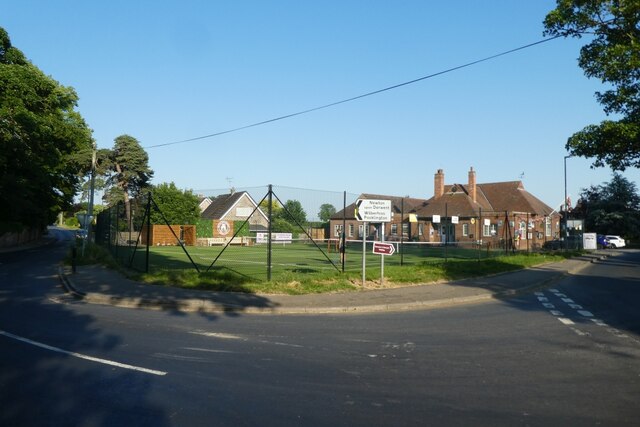
Despite its remote location, West Carr is not lacking in amenities. The surrounding villages offer charming accommodation options, traditional pubs serving hearty Yorkshire cuisine, and quaint shops selling locally made crafts and produce. The sense of community is strong in this area, with regular events and festivals celebrating the region's rich cultural heritage.

In conclusion, West Carr, Yorkshire, with its combination of stunning Downs and untamed Moorland, is a true gem for those seeking a peaceful and scenic retreat in the heart of England.

If you have any feedback on the listing, please let us know in the comments section below.
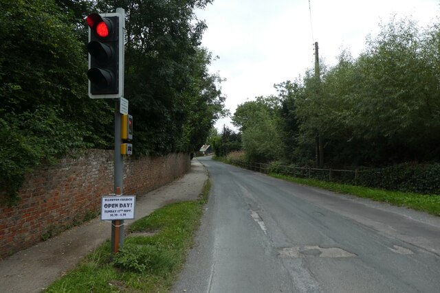
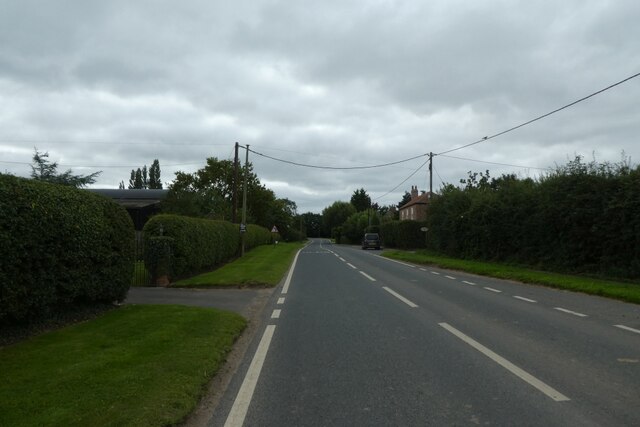
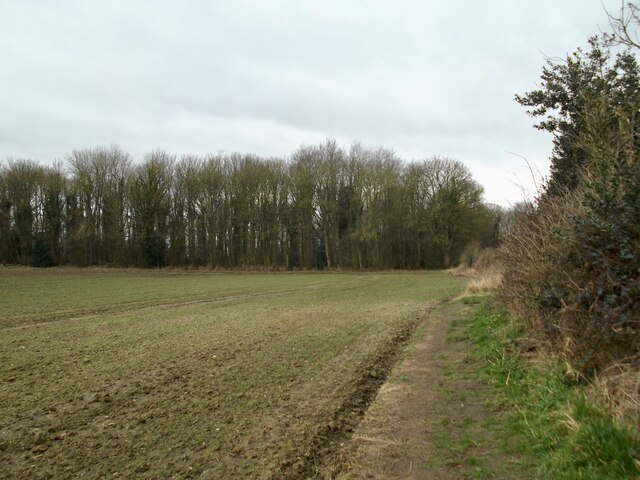
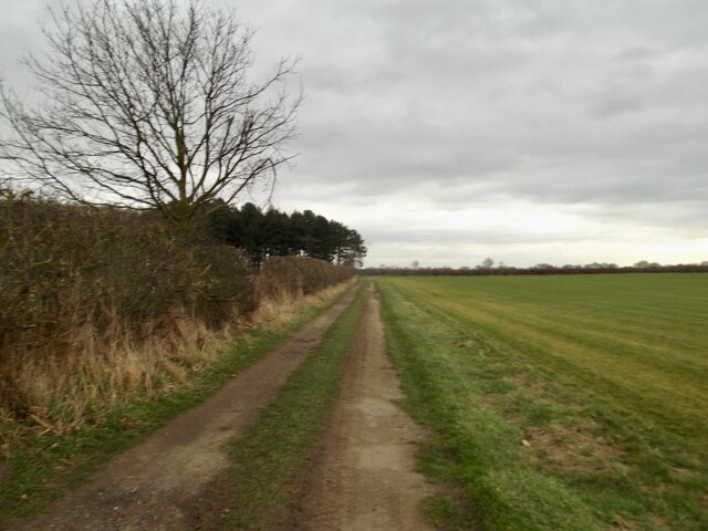
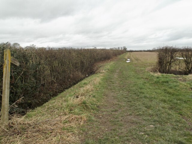
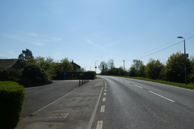
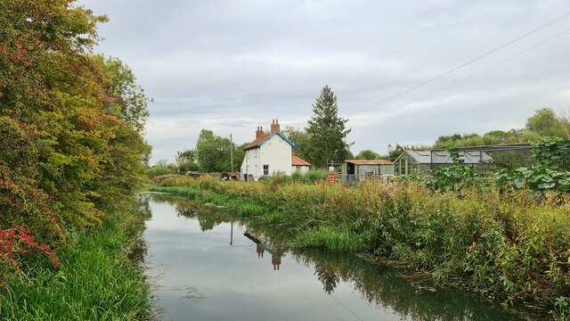
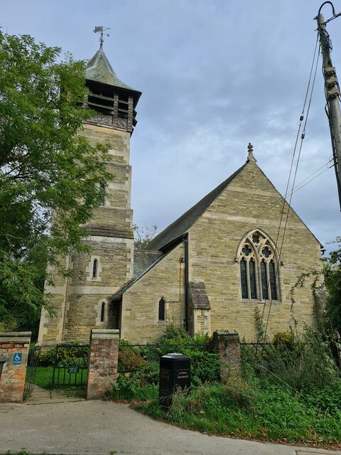
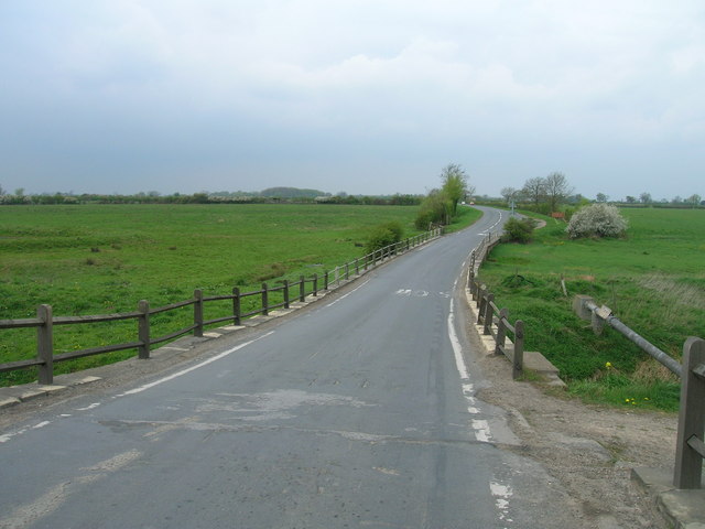
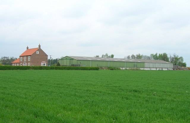
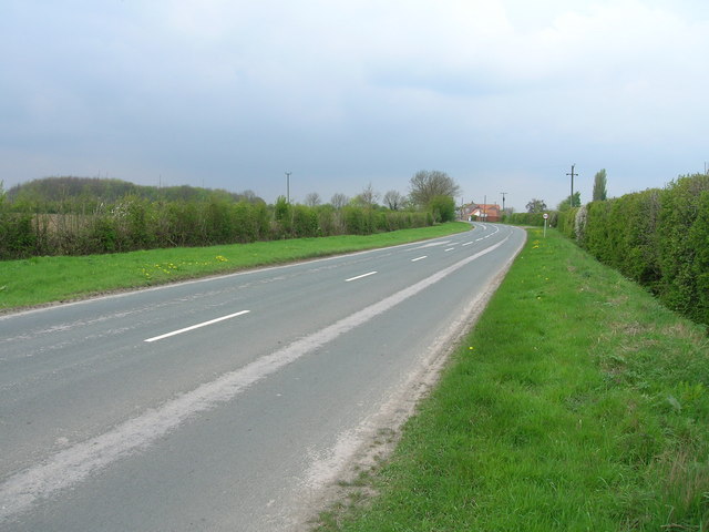
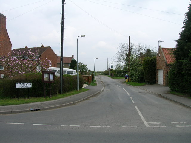
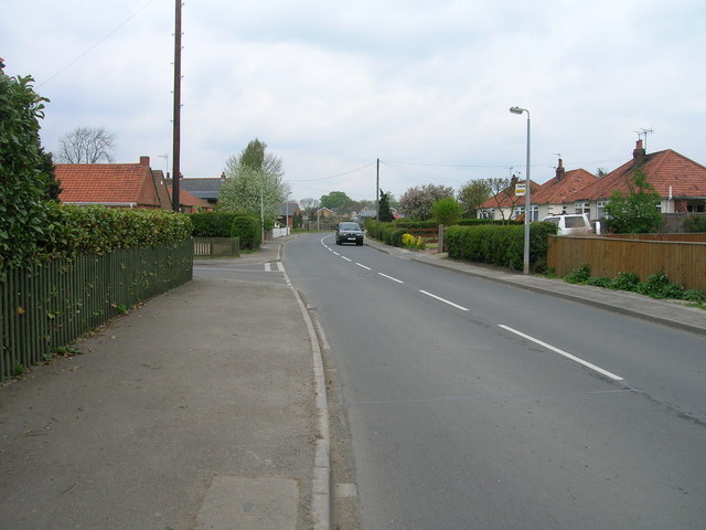
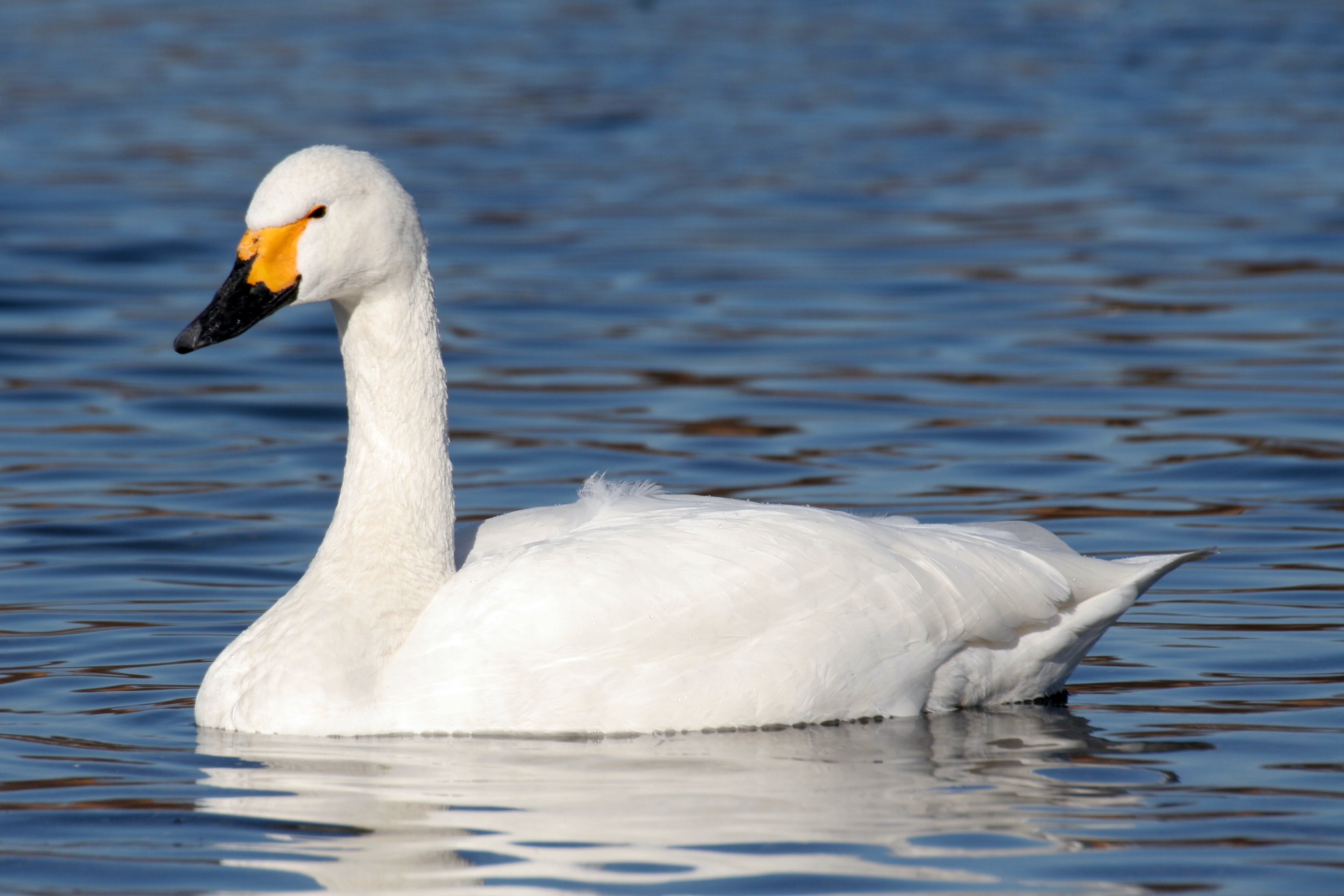
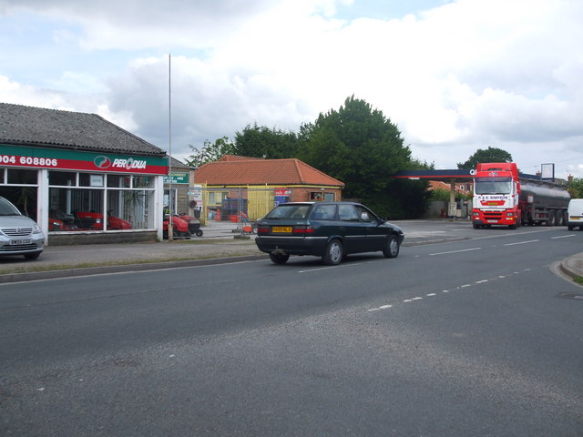
West Carr Images

Images are sourced within 2km of 53.907876/-0.93374815 or Grid Reference SE7046. Thanks to Geograph Open Source API. All images are credited.

Traffic lights for Sutton Bridge Looking along Elvington Lane towards the bridge over the Derwent.
Traffic lights for Sutton Bridge
Looking along Elvington Lane towards the bridge over the Derwent.
Main Street, Sutton upon Derwent Looking along Main Street in the village.
Main Street, Sutton upon Derwent
Looking along Main Street in the village.
Gravelpit Plantation
Field track by Broomhill Plantation
Footpath on Prickett Fields
Old garage along Common Lane Looking along Common Lane in Sutton Upon Derwent.
Old garage along Common Lane
Looking along Common Lane in Sutton Upon Derwent.
Sutton Bridge Crossing the Derwent
Sutton Bridge
Crossing the Derwent
The Island and Lock House Sutton on Derwent
The Island and Lock House
Sutton on Derwent
Holy Trinity Church, Elvington Holy Trinity Church, 1877; <span class="nowrap"><a title="https://historicengland.org.uk/listing/the-list/list-entry/1148520?section=official-list-entry" rel="nofollow ugc noopener" href="https://historicengland.org.uk/listing/the-list/list-entry/1148520?section=official-list-entry">Link</a><img style="margin-left:2px;" alt="External link" title="External link - shift click to open in new window" src="https://s1.geograph.org.uk/img/external.png" width="10" height="10"/></span>

Although this record says 1801; <span class="nowrap"><a title="http://elvingtonhistory.org.uk/" rel="nofollow ugc noopener" href="http://elvingtonhistory.org.uk/">Link</a><img style="margin-left:2px;" alt="External link" title="External link - shift click to open in new window" src="https://s1.geograph.org.uk/img/external.png" width="10" height="10"/></span>

Both are right. The original church went back a lot further to Norman times; <span class="nowrap"><a title="https://www.genuki.org.uk/big/eng/YKS/ERY/Elvington/PhotoFrames/ElvingtonHolyTrintiy_1" rel="nofollow ugc noopener" href="https://www.genuki.org.uk/big/eng/YKS/ERY/Elvington/PhotoFrames/ElvingtonHolyTrintiy_1">Link</a><img style="margin-left:2px;" alt="External link" title="External link - shift click to open in new window" src="https://s1.geograph.org.uk/img/external.png" width="10" height="10"/></span>

And; <span class="nowrap"><a title="http://www.elvington.net/about-elvington/history/" rel="nofollow ugc noopener" href="http://www.elvington.net/about-elvington/history/">Link</a><img style="margin-left:2px;" alt="External link" title="External link - shift click to open in new window" src="https://s1.geograph.org.uk/img/external.png" width="10" height="10"/></span>
Holy Trinity Church, Elvington
Holy Trinity Church, 1877; LinkExternal link Although this record says 1801; LinkExternal link Both are right. The original church went back a lot further to Norman times; LinkExternal link And; LinkExternal link
Canal by Hagg Bridge The Pocklington Canal beside Common Lane.
Canal by Hagg Bridge
The Pocklington Canal beside Common Lane.
Tennis club in Sutton upon Derwent At the junction of Sandhill Lane and Main Street.
Tennis club in Sutton upon Derwent
At the junction of Sandhill Lane and Main Street.
Track north of Sandhill Lane Looking along a footpath which heads north towards Sutton Wood.
Track north of Sandhill Lane
Looking along a footpath which heads north towards Sutton Wood.
Pocklington Canal, Hagg Bridge
B1228 towards Sutton upon Derwent
Shellwind Farm
Shellwind Farm
Common Lane (B1228) towards Sutton upon Derwent
Wynam Lane, Sutton upon Derwent
Main Street, Sutton upon Derwent
Show me another place!

West Carr is located at Grid Ref: SE7046 (Lat: 53.907876, Lng: -0.93374815)

Division: East Riding

Unitary Authority: East Riding of Yorkshire

Police Authority: Humberside

What 3 Words

///describes.raves.falters. Near Sutton upon Derwent, East Yorkshire

Related Wikis

Derwent Ings

Derwent Ings is a Site of Special Scientific Interest (SSSI) divided between North Yorkshire and the East Riding of Yorkshire, England. Derwent Ings is...

Sutton upon Derwent

Sutton upon Derwent is a small village and civil parish on the River Derwent in the East Riding of Yorkshire, England, approximately 8 miles (13 km) to...

Elvington, North Yorkshire

Elvington is a village and civil parish in the City of York, lying approximately 7 miles (11 km) south-east of York, England, on the B1228 York-Howden...

Sutton Bridge, Yorkshire

Sutton Bridge is a historic bridge in Yorkshire, in England. The bridge crosses the River Derwent, linking Elvington in the City of York with Sutton-upon...

Nearby Amenities

Located within 500m of 53.907876,-0.93374815
Sutton On Derwent Main Street
Naptan AtcoCode: 2200YEA01444
Naptan Bearing: N
Naptan BusStopType: CUS
Naptan CommonName: Sutton On Derwent Main Street
Naptan Landmark: Outside Derwent Farm/Stables
Naptan Street: Main Street
Naptan Verified: no
Source: naptan_import
Lat/Long: 53.9056286/-0.9281641
Bus Stop
Sutton On Derwent Main Street
Naptan AtcoCode: 2200YEA01445
Naptan Bearing: S
Naptan CommonName: Sutton On Derwent Main Street
Naptan Landmark: Holly Tree Farm
Naptan Street: Main Street
Naptan Verified: no
Source: naptan_import
Lat/Long: 53.9060015/-0.927637
Post Box
Post Box Type: lamp
Lat/Long: 53.905827/-0.9277005
Information: guidepost
Tourism: information
Lat/Long: 53.9051724/-0.9284681
Bench
Lat/Long: 53.9079788/-0.92626
The data included in this document is from www.openstreetmap.org. The data is made available under ODbL.

Have you been to West Carr?

Leave your review of West Carr below (or comments, questions and feedback).