Hagghill Leas Ings

Downs, Moorland in Yorkshire

England

Hagghill Leas Ings

Traffic lights for Sutton Bridge Looking along Elvington Lane towards the bridge over the Derwent.
Traffic lights for Sutton Bridge Credit: DS Pugh

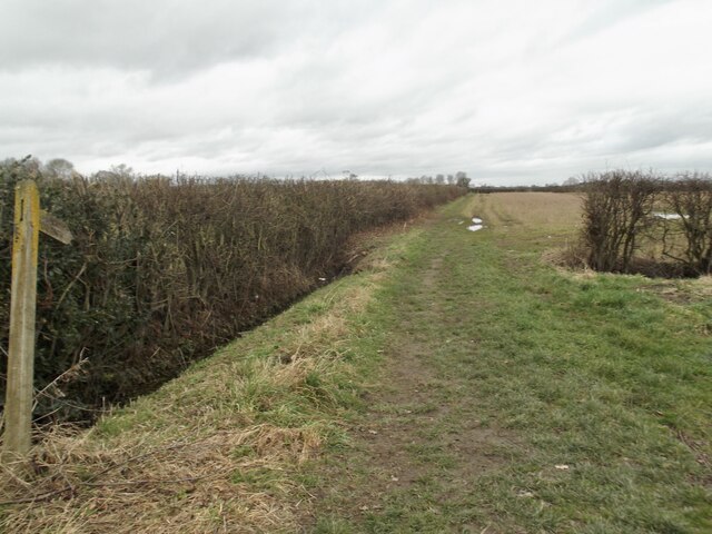
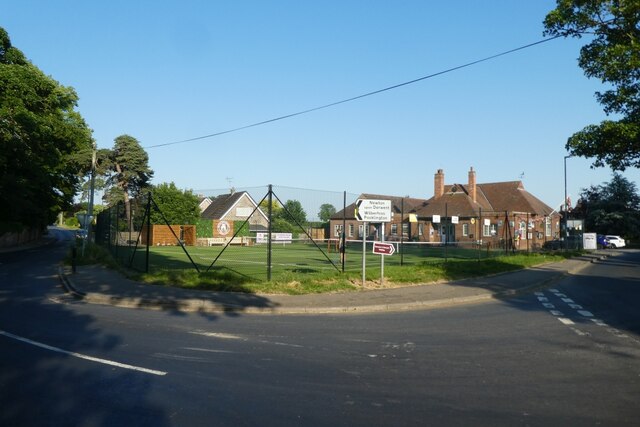
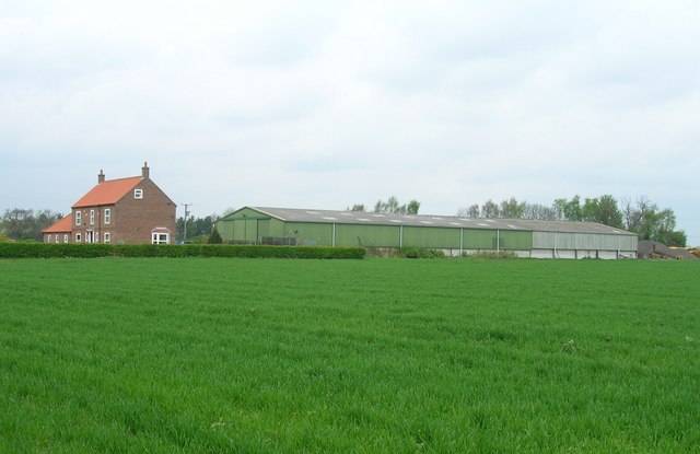
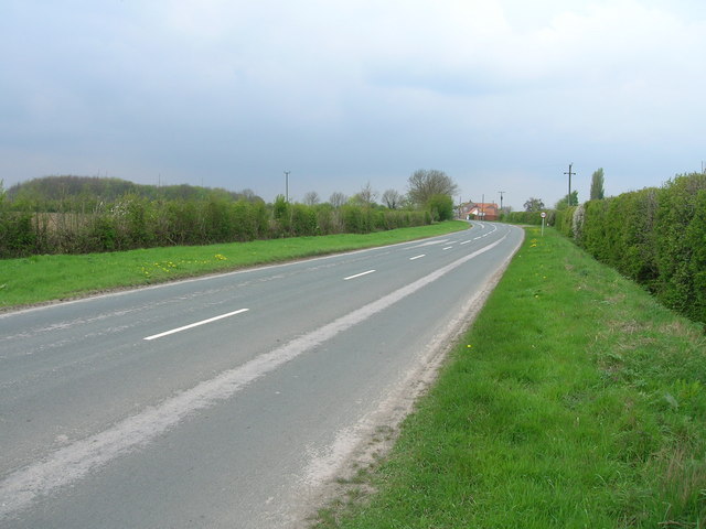
Hagghill Leas Ings is a picturesque area located in Yorkshire, England. Situated amidst the charming countryside, this region is renowned for its natural beauty, encompassing downs and moorland landscapes. The area is characterized by rolling hills, vast open spaces, and an abundance of lush vegetation.

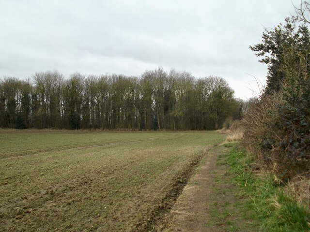
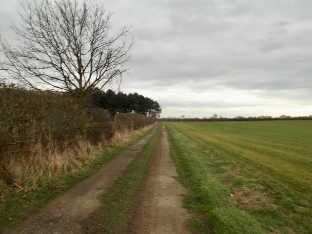
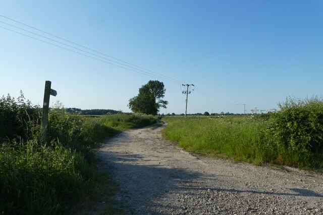
The downs of Hagghill Leas Ings provide visitors with breathtaking panoramic views of the surrounding countryside. These gentle slopes are covered in a patchwork of vibrant green fields, dotted with grazing livestock. The undulating terrain is perfect for leisurely walks or picnics, allowing visitors to immerse themselves in the tranquil ambiance of the area.

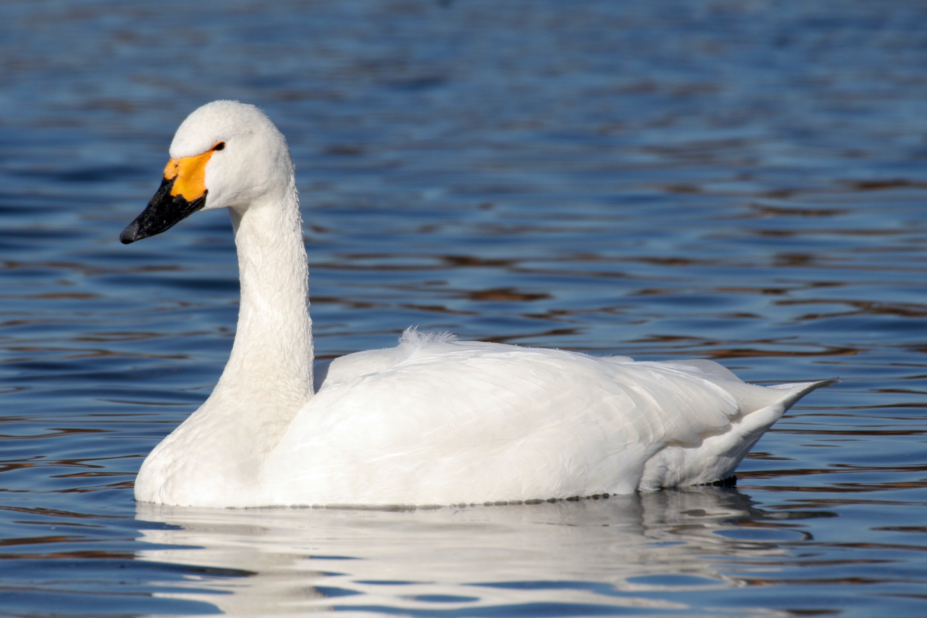
In contrast, the moorlands of Hagghill Leas Ings offer a more rugged and wild experience. This vast expanse of open land is covered in heather, creating a stunning purple carpet that stretches as far as the eye can see. Moorland wildlife such as grouse and curlews can often be spotted in this habitat, adding to the area's natural charm.

Hagghill Leas Ings is a haven for outdoor enthusiasts, offering a wide range of activities. Hiking and cycling trails crisscross the landscape, providing ample opportunities for exploration. Additionally, birdwatching and nature photography are popular pastimes, given the diverse bird species and picturesque scenery.

Overall, Hagghill Leas Ings is a true gem in Yorkshire, with its downs and moorland landscapes providing a unique and captivating experience for visitors seeking a natural retreat.

If you have any feedback on the listing, please let us know in the comments section below.

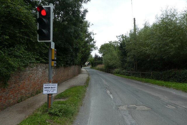
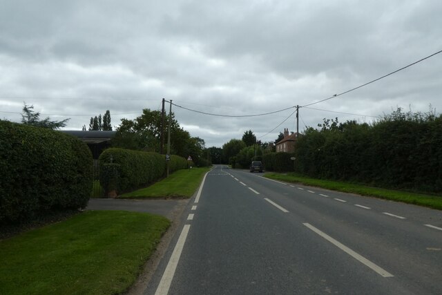
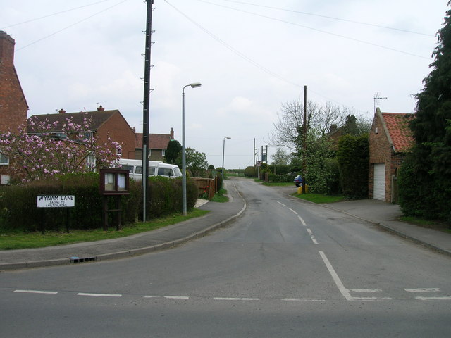
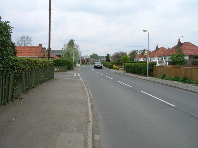
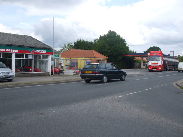
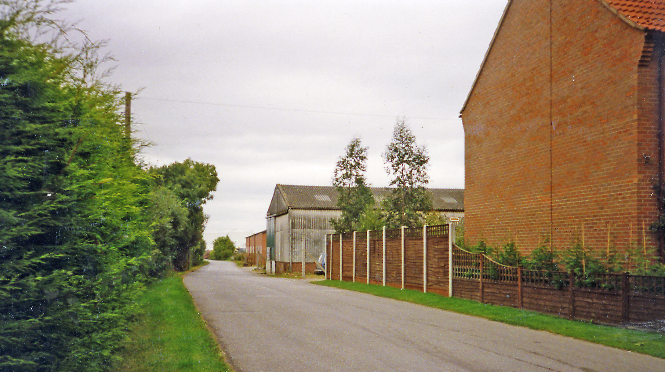
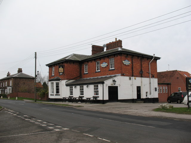
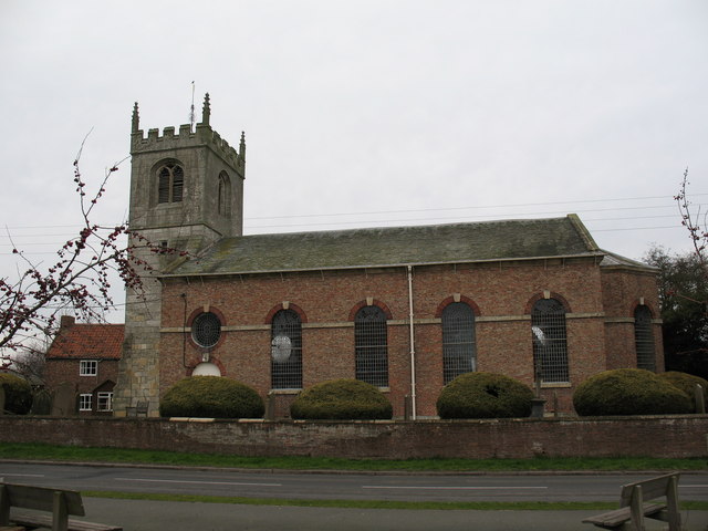
Hagghill Leas Ings Images

Images are sourced within 2km of 53.909315/-0.93477713 or Grid Reference SE7046. Thanks to Geograph Open Source API. All images are credited.

Traffic lights for Sutton Bridge Looking along Elvington Lane towards the bridge over the Derwent.
Traffic lights for Sutton Bridge
Looking along Elvington Lane towards the bridge over the Derwent.
Main Street, Sutton upon Derwent Looking along Main Street in the village.
Main Street, Sutton upon Derwent
Looking along Main Street in the village.
Gravelpit Plantation
Field track by Broomhill Plantation
Footpath on Prickett Fields
Old garage along Common Lane Looking along Common Lane in Sutton Upon Derwent.
Old garage along Common Lane
Looking along Common Lane in Sutton Upon Derwent.
Sutton Bridge Crossing the Derwent
Sutton Bridge
Crossing the Derwent
The Island and Lock House Sutton on Derwent
The Island and Lock House
Sutton on Derwent
Holy Trinity Church, Elvington Holy Trinity Church, 1877; <span class="nowrap"><a title="https://historicengland.org.uk/listing/the-list/list-entry/1148520?section=official-list-entry" rel="nofollow ugc noopener" href="https://historicengland.org.uk/listing/the-list/list-entry/1148520?section=official-list-entry">Link</a><img style="margin-left:2px;" alt="External link" title="External link - shift click to open in new window" src="https://s1.geograph.org.uk/img/external.png" width="10" height="10"/></span>

Although this record says 1801; <span class="nowrap"><a title="http://elvingtonhistory.org.uk/" rel="nofollow ugc noopener" href="http://elvingtonhistory.org.uk/">Link</a><img style="margin-left:2px;" alt="External link" title="External link - shift click to open in new window" src="https://s1.geograph.org.uk/img/external.png" width="10" height="10"/></span>

Both are right. The original church went back a lot further to Norman times; <span class="nowrap"><a title="https://www.genuki.org.uk/big/eng/YKS/ERY/Elvington/PhotoFrames/ElvingtonHolyTrintiy_1" rel="nofollow ugc noopener" href="https://www.genuki.org.uk/big/eng/YKS/ERY/Elvington/PhotoFrames/ElvingtonHolyTrintiy_1">Link</a><img style="margin-left:2px;" alt="External link" title="External link - shift click to open in new window" src="https://s1.geograph.org.uk/img/external.png" width="10" height="10"/></span>

And; <span class="nowrap"><a title="http://www.elvington.net/about-elvington/history/" rel="nofollow ugc noopener" href="http://www.elvington.net/about-elvington/history/">Link</a><img style="margin-left:2px;" alt="External link" title="External link - shift click to open in new window" src="https://s1.geograph.org.uk/img/external.png" width="10" height="10"/></span>
Holy Trinity Church, Elvington
Holy Trinity Church, 1877; LinkExternal link Although this record says 1801; LinkExternal link Both are right. The original church went back a lot further to Norman times; LinkExternal link And; LinkExternal link
Tennis club in Sutton upon Derwent At the junction of Sandhill Lane and Main Street.
Tennis club in Sutton upon Derwent
At the junction of Sandhill Lane and Main Street.
Track north of Sandhill Lane Looking along a footpath which heads north towards Sutton Wood.
Track north of Sandhill Lane
Looking along a footpath which heads north towards Sutton Wood.
Shellwind Farm
Shellwind Farm
Common Lane (B1228) towards Sutton upon Derwent
Wynam Lane, Sutton upon Derwent
Main Street, Sutton upon Derwent
Wynam Lane
Wynam Lane
Farmland off Wynam Lane
St Vincent Arms, Sutton upon Derwent
Show me another place!

Hagghill Leas Ings is located at Grid Ref: SE7046 (Lat: 53.909315, Lng: -0.93477713)

Division: East Riding

Unitary Authority: York

Police Authority: North Yorkshire

What 3 Words

///sped.shut.roving. Near Sutton upon Derwent, East Yorkshire

Related Wikis

Derwent Ings

Derwent Ings is a Site of Special Scientific Interest (SSSI) divided between North Yorkshire and the East Riding of Yorkshire, England. Derwent Ings is...

Sutton upon Derwent

Sutton upon Derwent is a small village and civil parish on the River Derwent in the East Riding of Yorkshire, England, approximately 8 miles (13 km) to...

Elvington, North Yorkshire

Elvington is a village and civil parish in the City of York, lying approximately 7 miles (11 km) south-east of York, England, on the B1228 York-Howden...

Sutton Bridge, Yorkshire

Sutton Bridge is a historic bridge in Yorkshire, in England. The bridge crosses the River Derwent, linking Elvington in the City of York with Sutton-upon...

Escrick Rural District

Escrick was a rural district in the East Riding of Yorkshire from 1894 to 1935.It was formed under the Local Government Act 1894 from the part of the York...

Elvington (DVLR) railway station

Elvington railway station served the village of Elvington, North Yorkshire, England from 1913 to 1972 on the Derwent Valley Light Railway. == History... ==

Wheldrake

Wheldrake is a village and civil parish located 7 miles (11 km) south-east of York in the unitary authority of the City of York, which is in the ceremonial...

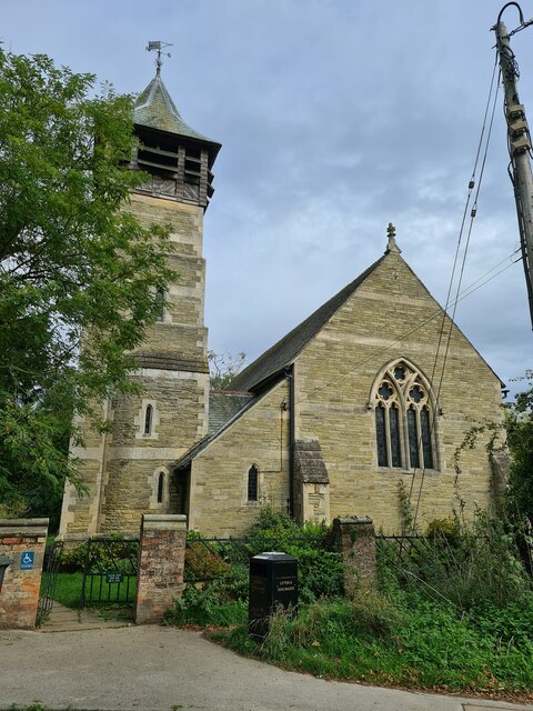
St Helen's Church, Wheldrake

St Helen's Church is the parish church in Wheldrake, a village in the rural south-eastern part of the City of York, in England. The oldest part of the...

Have you been to Hagghill Leas Ings?

Leave your review of Hagghill Leas Ings below (or comments, questions and feedback).