Sutton upon Derwent

Settlement in Yorkshire

England

Sutton upon Derwent

Traffic lights for Sutton Bridge Looking along Elvington Lane towards the bridge over the Derwent.
Traffic lights for Sutton Bridge Credit: DS Pugh

Sutton upon Derwent is a charming village located in the East Riding of Yorkshire, England. Situated approximately 8 miles east of the historic city of York, it lies on the banks of the River Derwent. The village, with a population of around 500 residents, offers a peaceful and idyllic setting for its inhabitants.

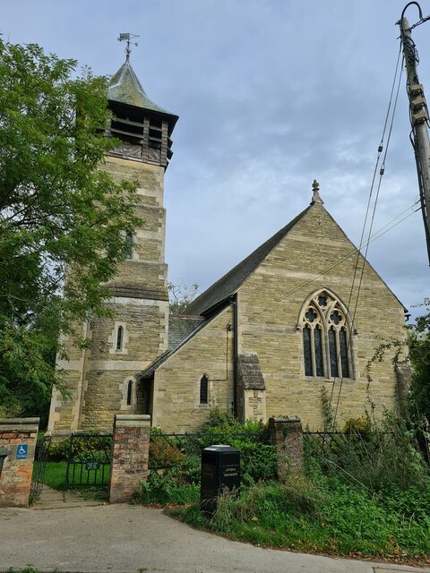
The history of Sutton upon Derwent dates back to the Roman era, and it is believed that a Roman road once passed through the village. Today, remnants of its past can be seen in the form of historical buildings, including the beautiful All Saints Church, which dates back to the 12th century.

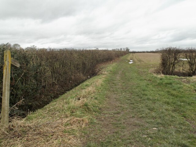
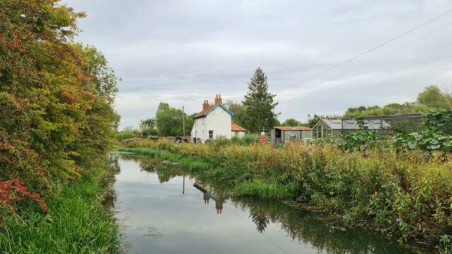
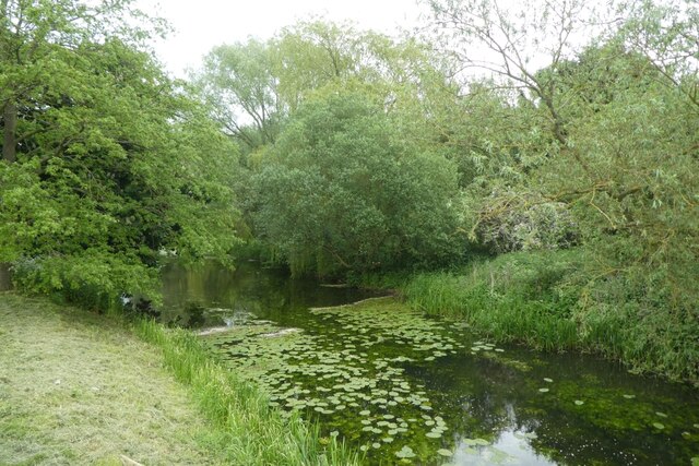
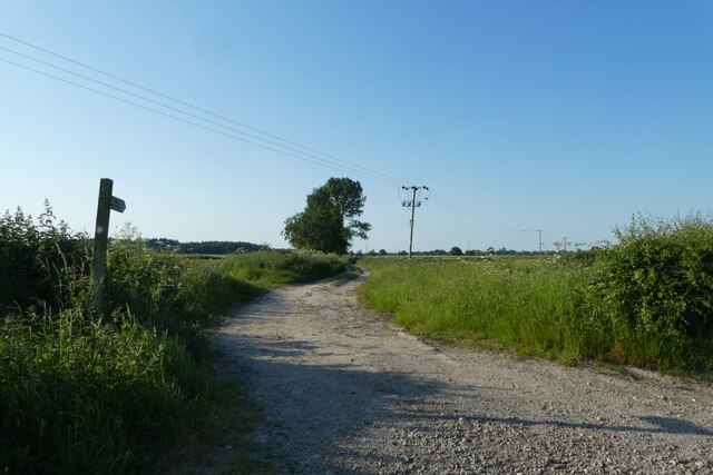
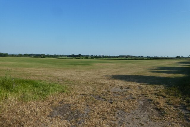
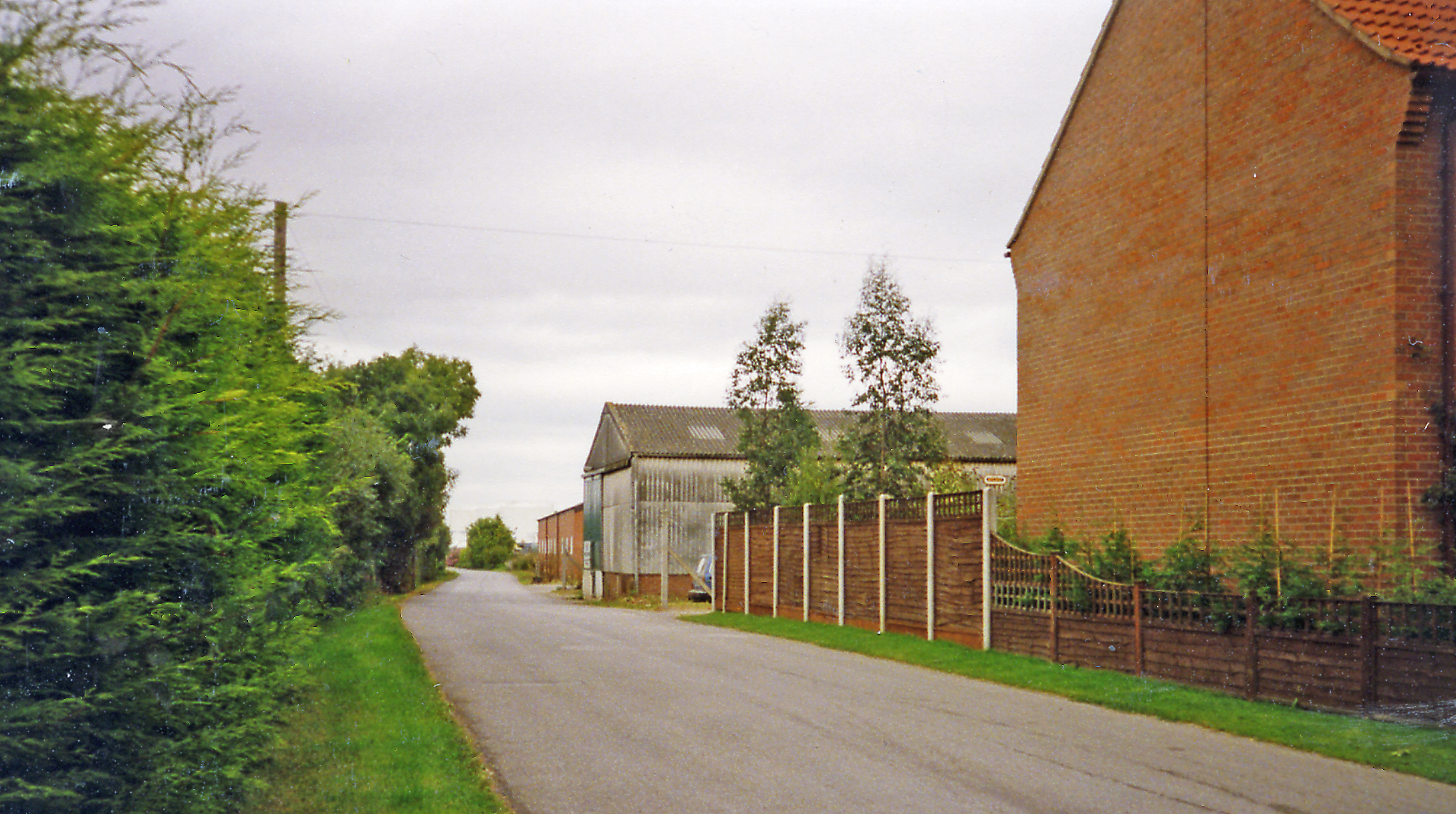
The village is known for its picturesque surroundings, with vast green fields and rolling hills, making it an attractive destination for outdoor enthusiasts. The River Derwent, which runs alongside the village, provides opportunities for fishing and boating.

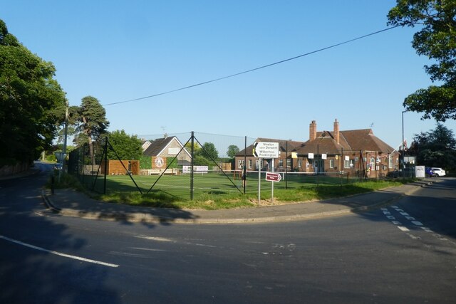
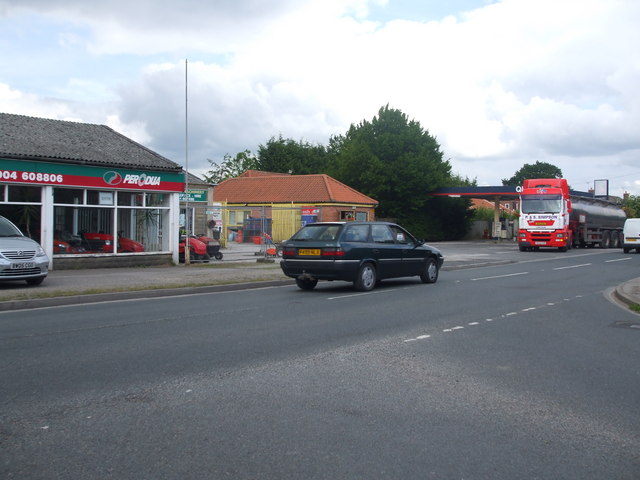
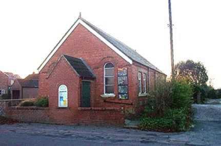
Sutton upon Derwent boasts a tight-knit community, with several local amenities to cater to the needs of its residents. These include a village hall that hosts various community events and gatherings, a primary school, and a well-regarded pub that serves traditional Yorkshire cuisine.

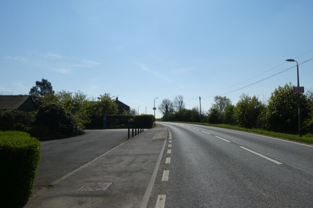
Transportation to and from Sutton upon Derwent is convenient, with regular bus services connecting it to nearby towns and cities. The village is also easily accessible by road, with the A1079 passing through, providing links to York and Hull.

Overall, Sutton upon Derwent offers a tranquil and picturesque setting, steeped in history, making it an attractive place to live or visit for those seeking a peaceful retreat in the heart of Yorkshire.

If you have any feedback on the listing, please let us know in the comments section below.

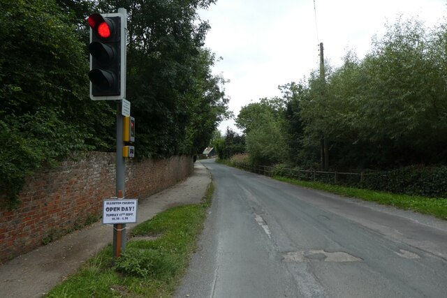
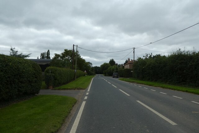
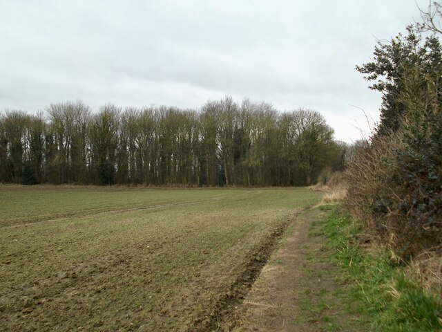
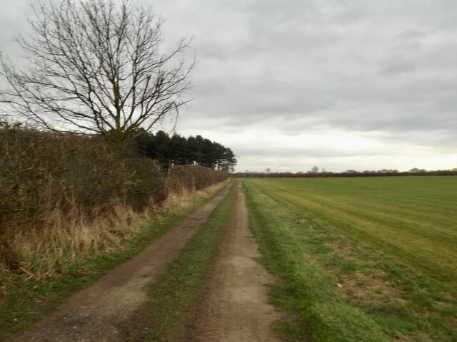
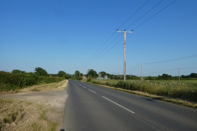
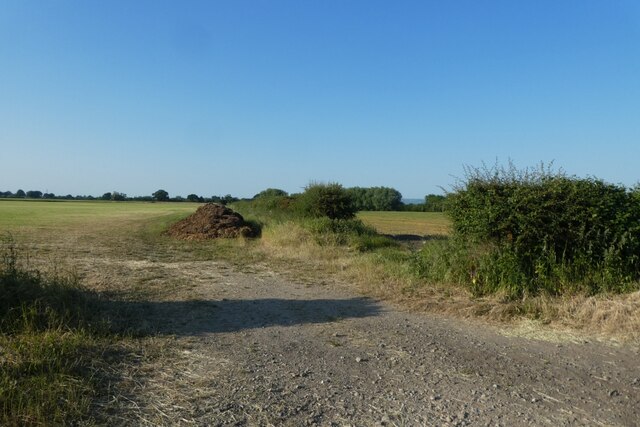
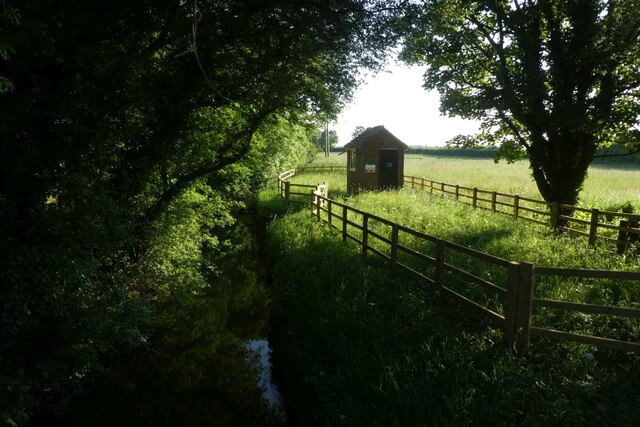
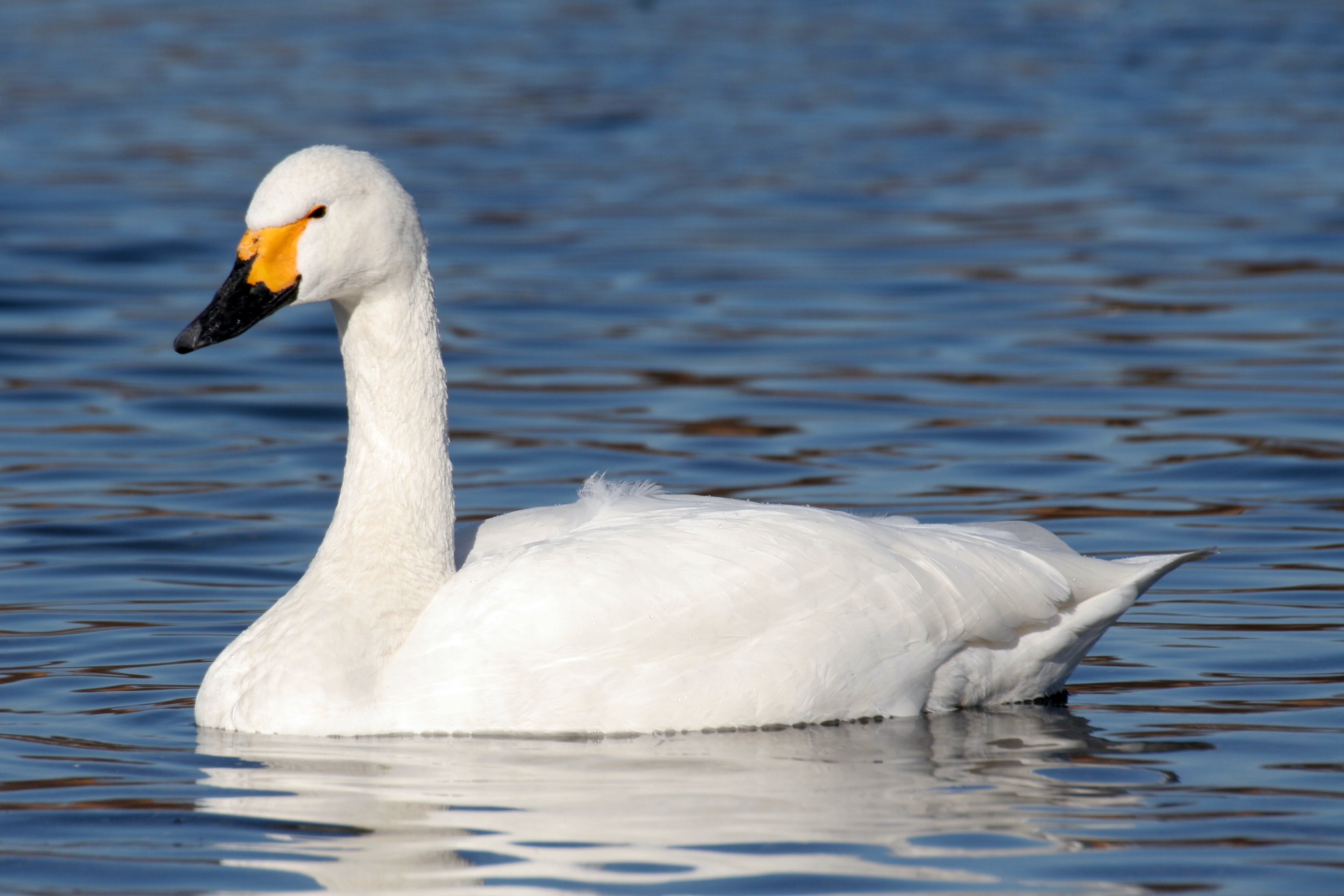
Sutton upon Derwent Images

Images are sourced within 2km of 53.911521/-0.924349 or Grid Reference SE7046. Thanks to Geograph Open Source API. All images are credited.

Traffic lights for Sutton Bridge Looking along Elvington Lane towards the bridge over the Derwent.
Traffic lights for Sutton Bridge
Looking along Elvington Lane towards the bridge over the Derwent.
Main Street, Sutton upon Derwent Looking along Main Street in the village.
Main Street, Sutton upon Derwent
Looking along Main Street in the village.
Gravelpit Plantation
Field track by Broomhill Plantation
Footpath on Prickett Fields
Old garage along Common Lane Looking along Common Lane in Sutton Upon Derwent.
Old garage along Common Lane
Looking along Common Lane in Sutton Upon Derwent.
Sutton Bridge Crossing the Derwent
Sutton Bridge
Crossing the Derwent
The Island and Lock House Sutton on Derwent
The Island and Lock House
Sutton on Derwent
Holy Trinity Church, Elvington Holy Trinity Church, 1877; <span class="nowrap"><a title="https://historicengland.org.uk/listing/the-list/list-entry/1148520?section=official-list-entry" rel="nofollow ugc noopener" href="https://historicengland.org.uk/listing/the-list/list-entry/1148520?section=official-list-entry">Link</a><img style="margin-left:2px;" alt="External link" title="External link - shift click to open in new window" src="https://s1.geograph.org.uk/img/external.png" width="10" height="10"/></span>

Although this record says 1801; <span class="nowrap"><a title="http://elvingtonhistory.org.uk/" rel="nofollow ugc noopener" href="http://elvingtonhistory.org.uk/">Link</a><img style="margin-left:2px;" alt="External link" title="External link - shift click to open in new window" src="https://s1.geograph.org.uk/img/external.png" width="10" height="10"/></span>

Both are right. The original church went back a lot further to Norman times; <span class="nowrap"><a title="https://www.genuki.org.uk/big/eng/YKS/ERY/Elvington/PhotoFrames/ElvingtonHolyTrintiy_1" rel="nofollow ugc noopener" href="https://www.genuki.org.uk/big/eng/YKS/ERY/Elvington/PhotoFrames/ElvingtonHolyTrintiy_1">Link</a><img style="margin-left:2px;" alt="External link" title="External link - shift click to open in new window" src="https://s1.geograph.org.uk/img/external.png" width="10" height="10"/></span>

And; <span class="nowrap"><a title="http://www.elvington.net/about-elvington/history/" rel="nofollow ugc noopener" href="http://www.elvington.net/about-elvington/history/">Link</a><img style="margin-left:2px;" alt="External link" title="External link - shift click to open in new window" src="https://s1.geograph.org.uk/img/external.png" width="10" height="10"/></span>
Holy Trinity Church, Elvington
Holy Trinity Church, 1877; LinkExternal link Although this record says 1801; LinkExternal link Both are right. The original church went back a lot further to Norman times; LinkExternal link And; LinkExternal link
Canal by Hagg Bridge The Pocklington Canal beside Common Lane.
Canal by Hagg Bridge
The Pocklington Canal beside Common Lane.
Tennis club in Sutton upon Derwent At the junction of Sandhill Lane and Main Street.
Tennis club in Sutton upon Derwent
At the junction of Sandhill Lane and Main Street.
Track north of Sandhill Lane Looking along a footpath which heads north towards Sutton Wood.
Track north of Sandhill Lane
Looking along a footpath which heads north towards Sutton Wood.
Junction with High Lane Sandhill Lane between Sutton upon Derwent and Allerthorpe Common.
Junction with High Lane
Sandhill Lane between Sutton upon Derwent and Allerthorpe Common.
Fields south of Sandhill Lane Looking across fields of lawn turf.
Fields south of Sandhill Lane
Looking across fields of lawn turf.
Along Sandhill Lane Sandhill Lane east of Sutton upon Derwent.
Along Sandhill Lane
Sandhill Lane east of Sutton upon Derwent.
Fields north of Sandhill Lane Looking across farmland to the east of Sutton upon Derwent.
Fields north of Sandhill Lane
Looking across farmland to the east of Sutton upon Derwent.
Blackfoss Beck Looking along the beck from Sandhill Bridge.
Blackfoss Beck
Looking along the beck from Sandhill Bridge.
Hagg Bridge Farm Looking across Hagg Lane from Postern Lane.
Hagg Bridge Farm
Looking across Hagg Lane from Postern Lane.
Show me another place!

Sutton upon Derwent is located at Grid Ref: SE7046 (Lat: 53.911521, Lng: -0.924349)

Division: East Riding

Unitary Authority: East Riding of Yorkshire

Police Authority: Humberside

What 3 Words

///plodding.fanfare.enlarge. Near Sutton upon Derwent, East Yorkshire

Related Wikis

Sutton upon Derwent

Sutton upon Derwent is a small village and civil parish on the River Derwent in the East Riding of Yorkshire, England, approximately 8 miles (13 km) to...

Derwent Ings

Derwent Ings is a Site of Special Scientific Interest (SSSI) divided between North Yorkshire and the East Riding of Yorkshire, England. Derwent Ings is...

Sutton Bridge, Yorkshire

Sutton Bridge is a historic bridge in Yorkshire, in England. The bridge crosses the River Derwent, linking Elvington in the City of York with Sutton-upon...

Elvington, North Yorkshire

Elvington is a village and civil parish in the City of York, lying approximately 7 miles (11 km) south-east of York, England, on the B1228 York-Howden...

Elvington (DVLR) railway station

Elvington railway station served the village of Elvington, North Yorkshire, England from 1913 to 1972 on the Derwent Valley Light Railway. == History... ==

Storwood

Storwood is a hamlet and former civil parish, now in the parish of Cottingwith, East Riding of Yorkshire, England. It is situated approximately 6 miles...

Escrick Rural District

Escrick was a rural district in the East Riding of Yorkshire from 1894 to 1935.It was formed under the Local Government Act 1894 from the part of the York...

Newton upon Derwent

Newton upon Derwent or Newton on Derwent is a village and civil parish in the East Riding of Yorkshire, England. It is situated approximately 5 miles...

Nearby Amenities

Located within 500m of 53.911521,-0.924349
Sutton Upon Derwent
Is In: East Riding of Yorkshire, England, UK
Is In County: East Riding of Yorkshire
Place: village
Lat/Long: 53.9123121/-0.9238612
Pub
St. Vincent Arms
Addr City: York
Addr Postcode: YO41 4BN
Addr Street: Main Street
Addr Suburb: Sutton upon Derwent
Beer Garden: yes
Floor Material: carpet
Parking: yes
Real Ale: 8 or so beers
Wheelchair: limited
Wheelchair Description: Steps at entrance
Wikidata: Q26455687
Lat/Long: 53.9158055/-0.924055
Bus Stop
Sutton on Derwent Main Street
Naptan AtcoCode: 2200YEA01023
Naptan Bearing: N
Naptan CommonName: Sutton on Derwent Main Street
Naptan Street: Main Street
Naptan Verified: no
Shelter: yes
Source: naptan_import
Lat/Long: 53.9121291/-0.9243438
Bus Stop
Sutton On Derwent Main Street
Naptan AtcoCode: 2200YEA01447
Naptan Bearing: S
Naptan CommonName: Sutton On Derwent Main Street
Naptan Landmark: Vincent Row Outside Number 8
Naptan Street: Main Street
Naptan Verified: no
Source: naptan_import
Lat/Long: 53.9124253/-0.9242905
Leisure: playground
Lat/Long: 53.9118005/-0.9232502
Post Box
Post Box Type: lamp
Lat/Long: 53.9120987/-0.9243468
Power: pole
Lat/Long: 53.9072519/-0.9226504
Bench
Lat/Long: 53.9079788/-0.92626
Bench
Lat/Long: 53.9121463/-0.9241552
The data included in this document is from www.openstreetmap.org. The data is made available under ODbL.

Have you been to Sutton upon Derwent?

Leave your review of Sutton upon Derwent below (or comments, questions and feedback).