Barmby Cutting
Downs, Moorland in Yorkshire
England
Barmby Cutting
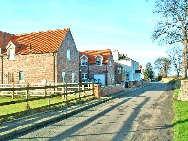
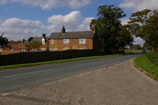
Barmby Cutting is a scenic area located in East Riding of Yorkshire, England. Nestled within the Yorkshire Downs and Moorland, it is renowned for its natural beauty and rich history. The cutting itself refers to a stretch of a former railway line that has been transformed into a picturesque walking trail.
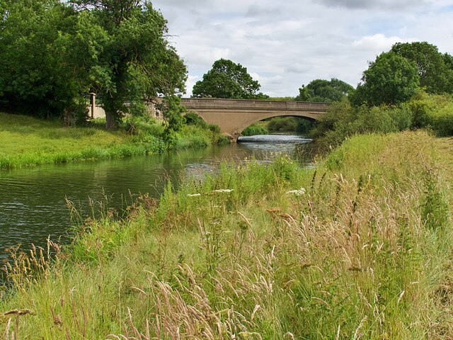
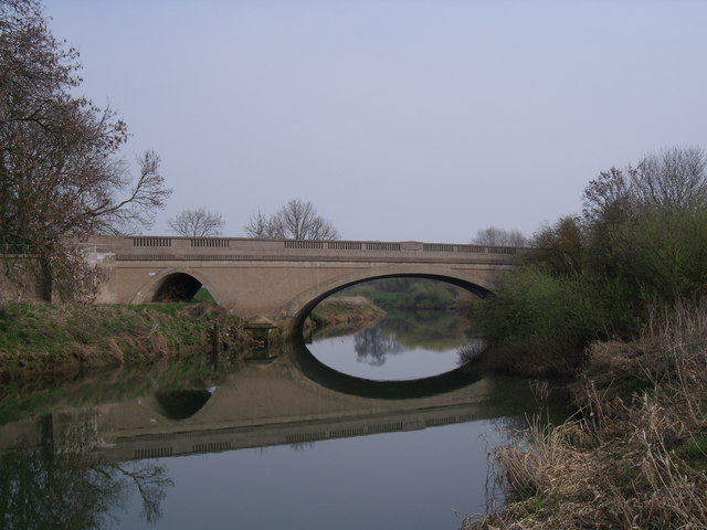
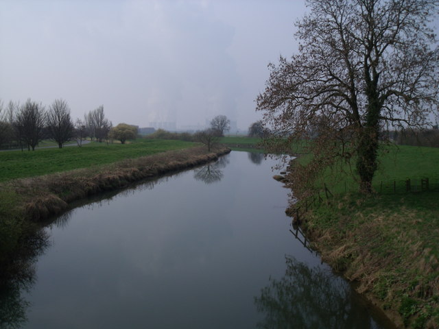
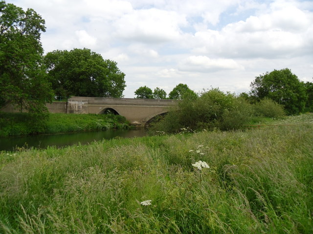
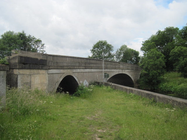
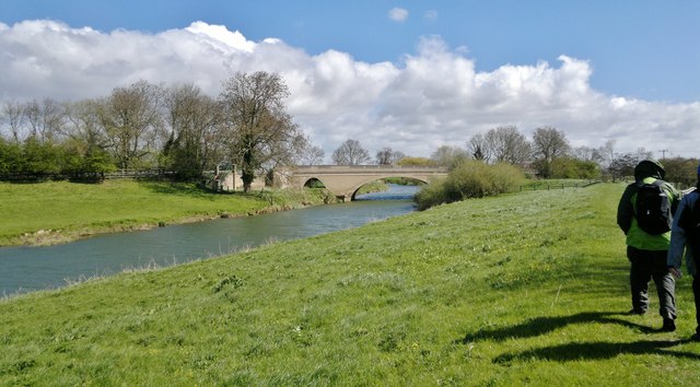
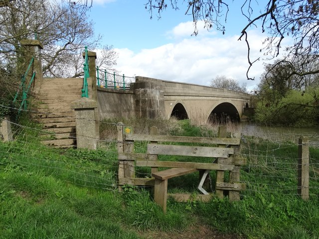
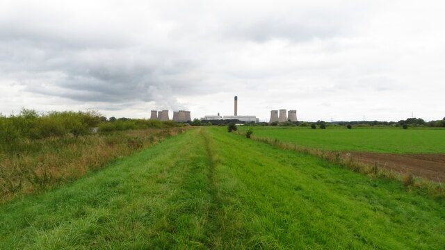
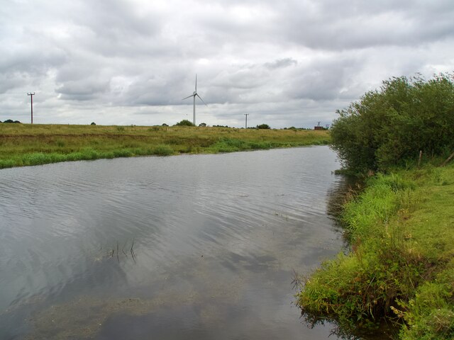
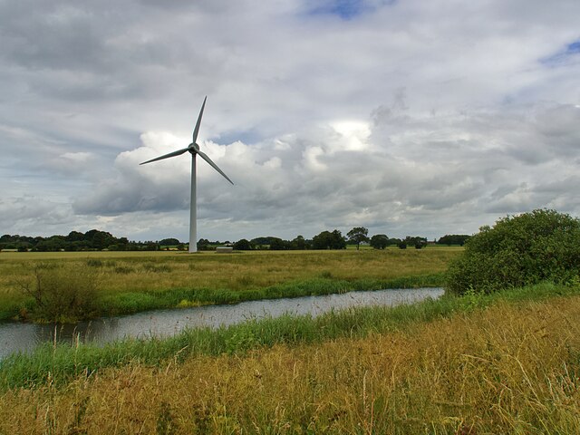
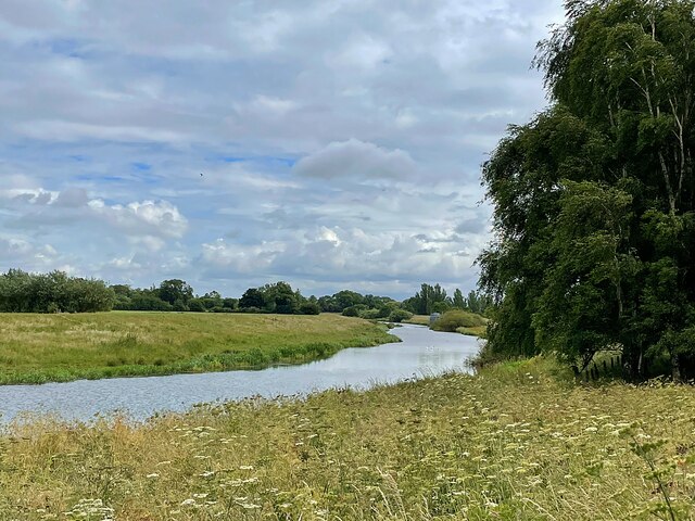
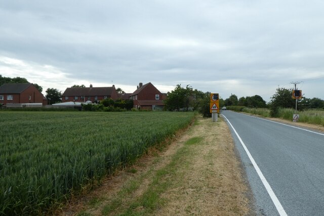
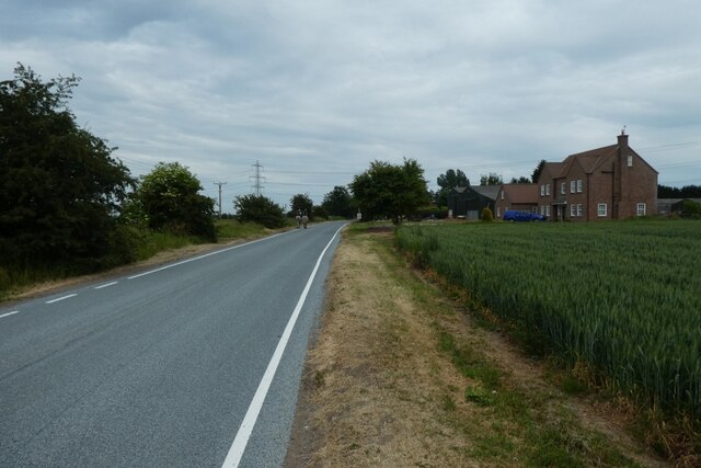
Surrounded by rolling hills and verdant meadows, Barmby Cutting offers visitors a peaceful escape from the hustle and bustle of city life. The walking trail follows the route of the former Hull to Scarborough railway line, which closed in the 1960s. As visitors traverse the trail, they can admire the stunning views of the surrounding countryside, including the picturesque River Derwent that meanders through the area.
The cutting is also home to a diverse range of flora and fauna, making it a haven for nature enthusiasts. Visitors may spot various bird species, including owls and kingfishers, as well as rabbits and other small mammals. Wildflowers bloom in abundance during the spring and summer months, adding a splash of color to the landscape.
Aside from its natural beauty, Barmby Cutting is steeped in history. The railway line that once ran through the area played a crucial role in connecting the nearby towns and villages. A few remnants of the railway infrastructure can still be seen along the trail, providing glimpses into its past.
Overall, Barmby Cutting offers a tranquil and scenic experience for those seeking to immerse themselves in the beauty of the Yorkshire Downs and Moorland. Its combination of stunning landscapes, diverse wildlife, and historical significance make it a must-visit destination for nature lovers and history enthusiasts alike.
If you have any feedback on the listing, please let us know in the comments section below.
Barmby Cutting Images
Images are sourced within 2km of 53.746489/-0.93870212 or Grid Reference SE7028. Thanks to Geograph Open Source API. All images are credited.
Barmby Cutting is located at Grid Ref: SE7028 (Lat: 53.746489, Lng: -0.93870212)
Division: East Riding
Unitary Authority: East Riding of Yorkshire
Police Authority: Humberside
What 3 Words
///canyons.domain.before. Near Barmby on the Marsh, East Yorkshire
Nearby Locations
Related Wikis

Barmby railway station
Barmby railway station was a station on the Hull and Barnsley Railway, and served the village of Barmby on the Marsh in the East Riding of Yorkshire, England...
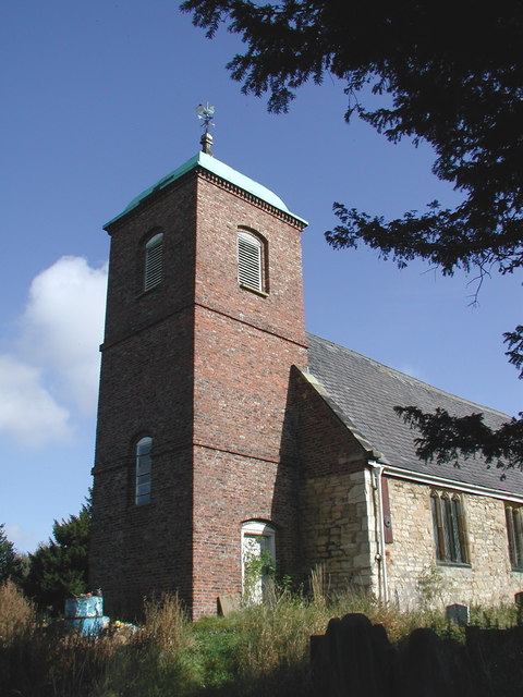
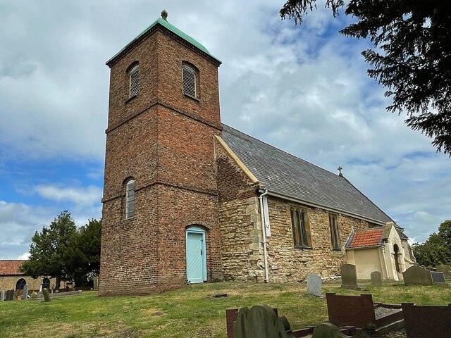
St Helen's Church, Barmby on the Marsh
The Church of St Helen, Barmby on the Marsh, East Riding of Yorkshire, England is a redundant church which is now in the care of the Friends of Friendless...

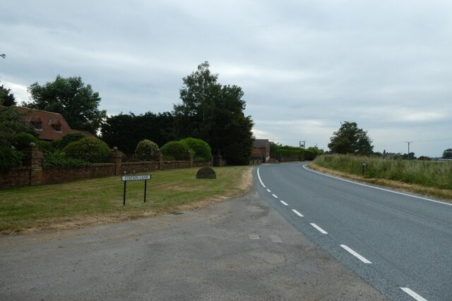
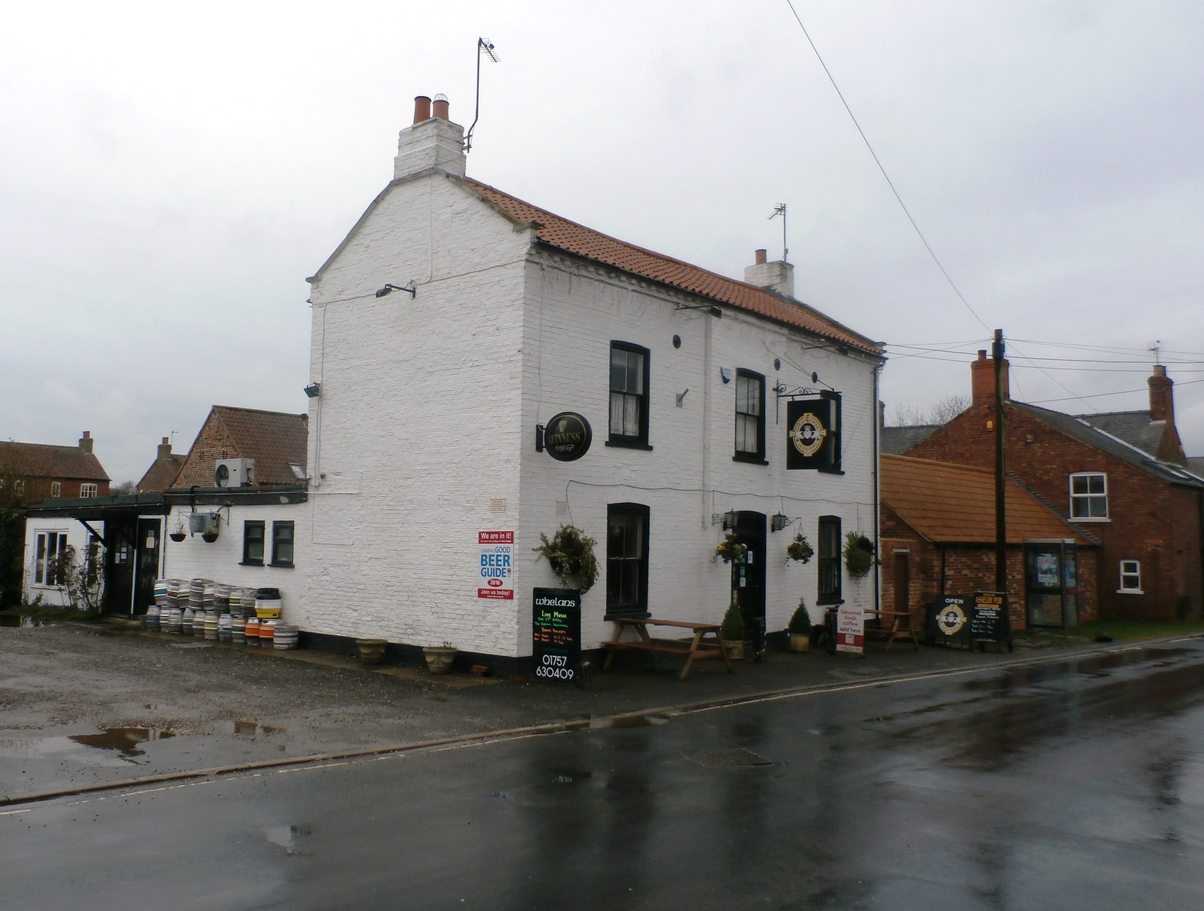
Barmby on the Marsh
Barmby on the Marsh is a village and civil parish in the East Riding of Yorkshire, England. It is situated approximately 4 miles (6.4 km) west of the market...

Long Drax swing bridge
The Long Drax swing bridge (also known as the Hull and Barnsley railway Ouse swing bridge) was a swing bridge on the River Ouse near Barmby on the Marsh...
Asselby
Asselby is a village and civil parish in the East Riding of Yorkshire, England. It is located in the south-west of the county, north of the River Ouse...
Long Drax
Long Drax (also known as Langrick) is a small hamlet and civil parish in the Selby District of North Yorkshire, England, about 2 miles north-east of Drax...

River Derwent, Yorkshire
The Derwent is a river in Yorkshire in the north of England. It flows from Fylingdales Moor in the North York Moors National Park, east then southwards...
Newsholme, East Riding of Yorkshire
Newsholme is a hamlet in the East Riding of Yorkshire, England. It is situated approximately 2 miles (3.2 km) north-west of the market town of Howden and...
Nearby Amenities
Located within 500m of 53.746489,-0.93870212Have you been to Barmby Cutting?
Leave your review of Barmby Cutting below (or comments, questions and feedback).