Baldridgeburn

Settlement in Fife

Scotland

Baldridgeburn

Path leading to the Andrew Carnegie statue in Pittencrieff Park
Path leading to the Andrew Carnegie statue in Pittencrieff Park Credit: Rod Allday

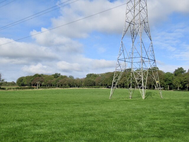
Baldridgeburn is a small suburb located in the county of Fife, Scotland. Situated on the eastern coast of Scotland, Fife offers a picturesque setting with its rolling hills, lush green landscapes, and charming coastal towns. Baldridgeburn itself is nestled within this beautiful environment, providing residents with a peaceful and idyllic place to call home.

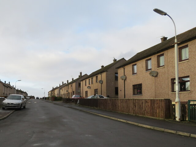
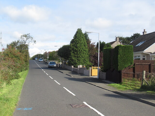
The suburb is primarily residential, featuring a mix of detached houses, semi-detached houses, and some apartment complexes. The architecture is diverse, ranging from traditional stone-built houses to more modern designs. The area is well-maintained, with manicured gardens and tree-lined streets creating a pleasant atmosphere.

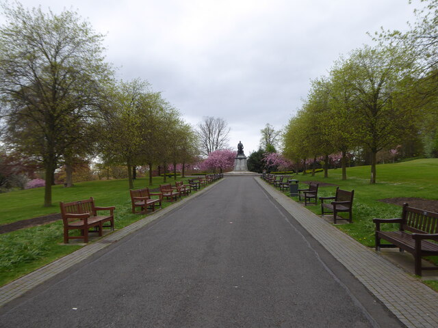
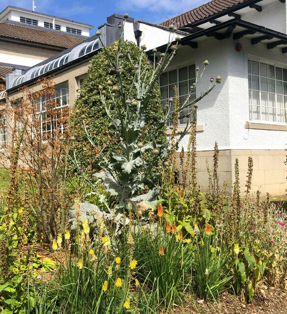
Baldridgeburn benefits from a range of amenities and facilities that cater to the needs of its residents. There are several local shops and convenience stores nearby, ensuring that daily essentials are easily accessible. Additionally, a number of parks and green spaces can be found in the vicinity, allowing locals to enjoy outdoor activities and leisurely walks.

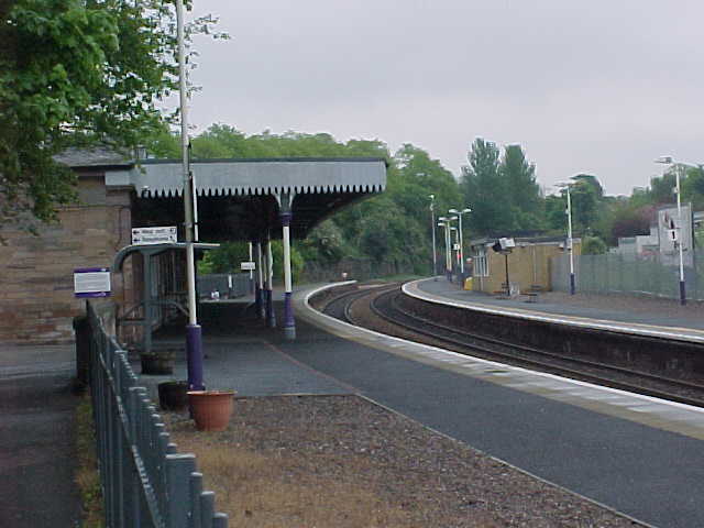
Transport links in Baldridgeburn are excellent, with regular bus services connecting the suburb to nearby towns and cities. The nearby town of Dunfermline, which is only a short distance away, provides further amenities, including shopping centers, restaurants, and entertainment options.

Overall, Baldridgeburn offers a peaceful and family-friendly environment, making it an attractive place to live for those seeking a tranquil suburban lifestyle within the beautiful surroundings of Fife.

If you have any feedback on the listing, please let us know in the comments section below.

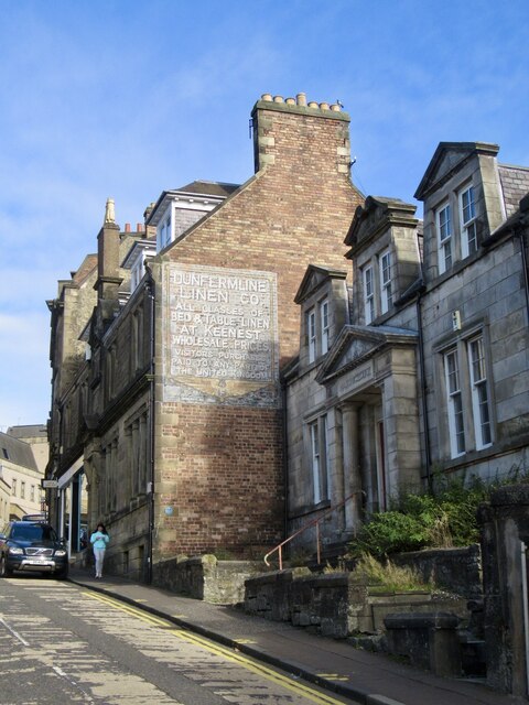
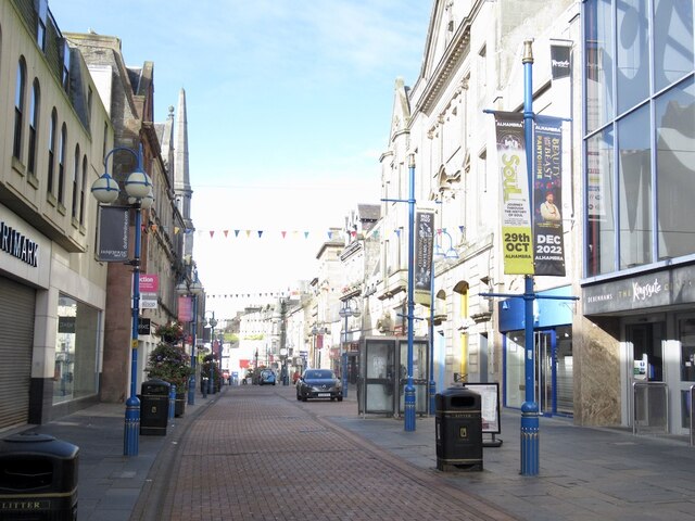
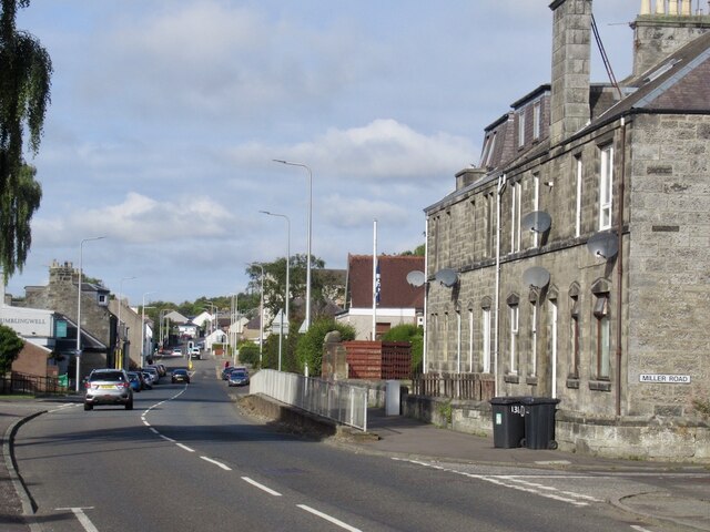
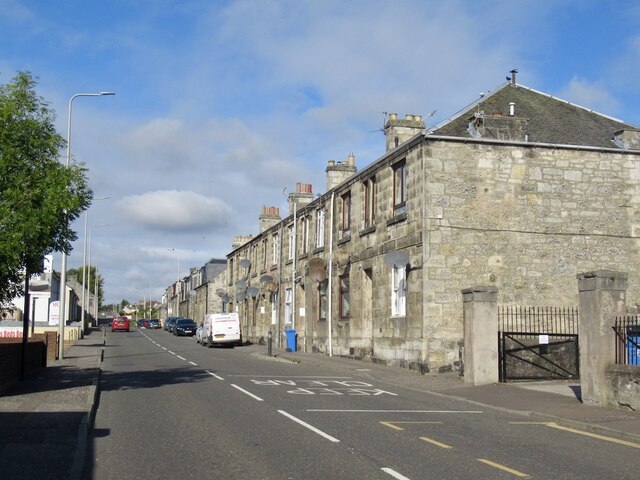
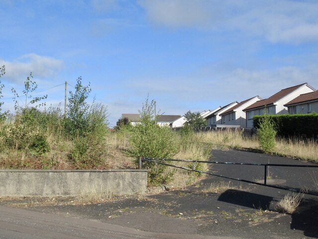
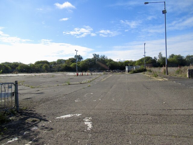
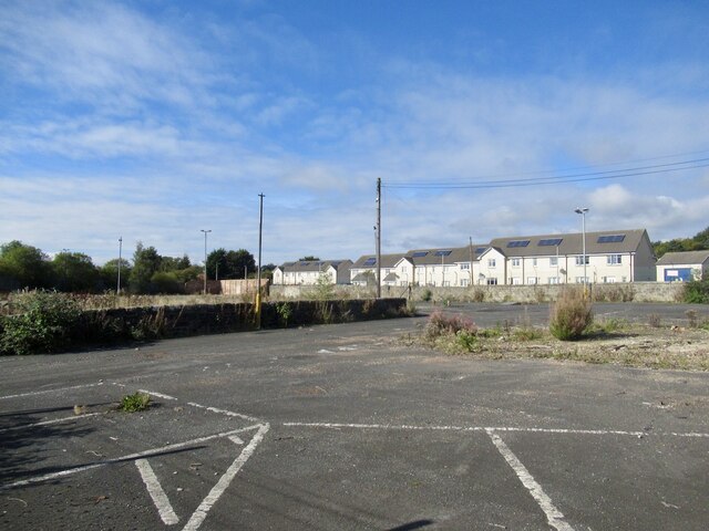
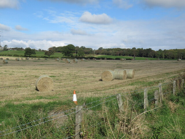
Baldridgeburn Images

Images are sourced within 2km of 56.076754/-3.473902 or Grid Reference NT0888. Thanks to Geograph Open Source API. All images are credited.

Path leading to the Andrew Carnegie statue in Pittencrieff Park
Leadside Crescent, Wellwood Looking west from the end of this cul-de-sac in the small housing estate of Wellwood, on the outskirts of Dunfermline.
Leadside Crescent, Wellwood
Looking west from the end of this cul-de-sac in the small housing estate of Wellwood, on the outskirts of Dunfermline.
Thistle plant In the garden close to the Glen Pavilion in Pittencrieff Park, Dunfermline, this thistle plant is getting pretty big! There are several species of thistle and I'm not sure which one this is.
Thistle plant
In the garden close to the Glen Pavilion in Pittencrieff Park, Dunfermline, this thistle plant is getting pretty big! There are several species of thistle and I'm not sure which one this is.
Dunfermline Town station
Bank of Scotland, Queensferry Road
Train approaching Dunfermline Station
New Road, Dunfermline The big building is the Alhambra Theatre.
New Road, Dunfermline
The big building is the Alhambra Theatre.
Wilson's Institution A former school said to favour the congregation of the Free Abbey Church and those called Wilson. Now offices, it was sold in 2021.
Wilson's Institution
A former school said to favour the congregation of the Free Abbey Church and those called Wilson. Now offices, it was sold in 2021.
Ghost sign, New Row
Ghost sign, New Row
High Street, Dunfermline
Baldridgeburn, Dunfermline B9155
Baldridgeburn, Dunfermline
B9155
Rumblingwell
Rumblingwell
Abbey Cars site, Rumblingwell The car showroom has been demolished and the plot is for sale.
Abbey Cars site, Rumblingwell
The car showroom has been demolished and the plot is for sale.
Former Fife Council Depot, Rumblingwell
Round bales, Milesmark
Craigluscar Road, Milesmark
Pylon, Milesmark
Pylon, Milesmark
Show me another place!

Baldridgeburn is located at Grid Ref: NT0888 (Lat: 56.076754, Lng: -3.473902)

Unitary Authority: Fife

Police Authority: Fife

What 3 Words

///slower.stars.ledge. Near Dunfermline, Fife

Related Wikis

McLean Primary School

McLean Primary School is located in the centre of Dunfermline, Fife. The head teacher is Gillian Souter Pupils from the school progress onto Queen Anne...

Queen Anne High School, Dunfermline

Queen Anne High School is a large secondary school in the city of Dunfermline in Fife. It is named for Anne of Denmark, the queen of James VI, whose former...

Malcolm's Tower

Malcolm's Tower, also known as Malcolm Canmore's Tower, is a historic site in the Scottish city of Dunfermline, Fife. It consists of the foundations of...

Dunfermline City Chambers

Dunfermline City Chambers is a municipal facility at the corner of Bridge Street and Kirkgate in Dunfermline, Fife. The building, which serves as home...

Nearby Amenities

Located within 500m of 56.076754,-3.473902
Traffic Signals
Lat/Long: 56.0773689/-3.477844
Mini Roundabout
Direction: clockwise
Lat/Long: 56.0761463/-3.4679052
Fast Food
Wan Lam
Cuisine: chinese
Lat/Long: 56.077239/-3.4775956
Traffic Calming: cushion
Lat/Long: 56.0781054/-3.4744137
Crossing
Bicycle: yes
Crossing: traffic_signals
Crossing Ref: toucan
Tactile Paving: yes
Lat/Long: 56.0755732/-3.4765333
Unistyle 233
Addr Housenumber: 233
Addr Postcode: KY12 9EG
Addr Street: Baldridgeburn
Shop: hairdresser
Lat/Long: 56.0772292/-3.4774444
N A Stores
Addr Housenumber: 80
Addr Postcode: KY12 9AS
Addr Street: Rumblingwell
Shop: convenience
Lat/Long: 56.0779866/-3.4809527
Recycling
Recycling Cartons: yes
Recycling Glass: yes
Recycling Glass Bottles: yes
Recycling Plastic: yes
Recycling Plastic Bottles: yes
Recycling Type: container
Lat/Long: 56.0768745/-3.4784569
Post Box
Brand: Royal Mail
Brand Wikidata: Q638098
Brand Wikipedia: en:Royal Mail
Collection Times: Mo-Fr 16:45; Sa 11:15
Operator: Royal Mail
Operator Wikidata: Q638098
Post Box Type: wall
Ref: KY12 79
Royal Cypher: EVIIR
Royal Cypher Wikidata: Q33102324
Lat/Long: 56.0750061/-3.4685358
Crossing
Crossing: traffic_signals
Crossing Island: yes
Tactile Paving: yes
Lat/Long: 56.0773085/-3.4775
Post Box
Brand: Royal Mail
Brand Wikidata: Q638098
Brand Wikipedia: en:Royal Mail
Collection Times: Mo-Fr 16:00; Sa 11:30
Operator: Royal Mail
Operator Wikidata: Q638098
Post Box Type: pillar
Ref: KY12 3
Royal Cypher: GR
Royal Cypher Wikidata: Q33102273
Lat/Long: 56.0773967/-3.4774396
Baldridge
Place: suburb
Lat/Long: 56.0798465/-3.474177
Beveridgewell
Place: neighbourhood
Lat/Long: 56.0771229/-3.468062
Post Box
Brand: Royal Mail
Brand Wikidata: Q638098
Brand Wikipedia: en:Royal Mail
Collection Times: Mo-Fr 16:45; Sa 11:15
Operator: Royal Mail
Operator Wikidata: Q638098
Post Box Type: lamp
Ref: KY12 6
Royal Cypher: no
Lat/Long: 56.0741145/-3.4752602
Post Box
Brand: Royal Mail
Brand Wikidata: Q638098
Brand Wikipedia: en:Royal Mail
Collection Times: Mo-Fr 09:00; Sa 07:00
Operator: Royal Mail
Operator Wikidata: Q638098
Post Box Type: pillar
Ref: KY12 7D
Royal Cypher: GVIR
Royal Cypher Wikidata: Q33102169
Lat/Long: 56.0762823/-3.4678175
Old Coal Pit
Historic: mine
Lat/Long: 56.0746163/-3.4808633
Historic: mine
Mineral: coal
Lat/Long: 56.0770892/-3.481668
Historic: mine
Mineral: coal
Lat/Long: 56.0761551/-3.4811423
Historic: mine
Mineral: coal
Lat/Long: 56.0762869/-3.4798441
Bus Stop
Ross Lane
Bench: no
Bus: yes
Lit: no
Naptan AtcoCode: 6500D0345
Naptan NaptanCode: 34324959
Passenger Information Display: no
Public Transport: platform
Shelter: no
Surface: asphalt
Lat/Long: 56.0752164/-3.4713406
Bus Stop
Ross Lane
Bench: no
Bus: yes
Lit: no
Naptan AtcoCode: 6500D1022
Naptan NaptanCode: 34324958
Passenger Information Display: no
Public Transport: platform
Shelter: no
Surface: asphalt
Lat/Long: 56.0751784/-3.4718577
Bus Stop
Grieve Street
Bench: no
Bus: yes
Lit: no
Passenger Information Display: no
Public Transport: platform
Shelter: no
Surface: asphalt
Lat/Long: 56.074545/-3.4683489
Bus Stop
Grieve Street
Bench: no
Bus: yes
Lit: no
Passenger Information Display: no
Public Transport: platform
Shelter: no
Surface: asphalt
Lat/Long: 56.0741314/-3.4681576
Bus Stop
Trenchard Place
Bench: yes
Bus: yes
Check Date Shelter: 2024-01-21
Lit: no
Passenger Information Display: no
Public Transport: platform
Shelter: yes
Lat/Long: 56.0763282/-3.4687308
Bus Stop
Trenchard Place
Bench: no
Bus: yes
Lit: no
Passenger Information Display: no
Public Transport: platform
Shelter: no
Lat/Long: 56.0761842/-3.4683774
Bus Stop
McLean Primary School
Bench: no
Bin: yes
Bus: yes
Lit: no
Naptan AtcoCode: 6500D0289
Naptan NaptanCode: 34324986
Passenger Information Display: no
Public Transport: platform
Shelter: no
Tactile Paving: no
Lat/Long: 56.0766332/-3.4725569
Bus Stop
McLean Primary School
Bench: no
Bin: no
Bus: yes
Lit: no
Naptan AtcoCode: 6500D0290
Naptan NaptanCode: 34324984
Passenger Information Display: no
Public Transport: platform
Shelter: no
Lat/Long: 56.0765856/-3.4729121
Bus Stop
Scott Street
Bench: no
Bus: yes
Lit: no
Naptan AtcoCode: 6500D0288
Naptan NaptanCode: 34325249
Passenger Information Display: no
Public Transport: platform
Shelter: no
Lat/Long: 56.0777315/-3.4729489
Bus Stop
Burns Street
Bench: no
Bus: yes
Lit: no
Naptan AtcoCode: 6500D0287
Naptan NaptanCode: 34325256
Passenger Information Display: no
Public Transport: platform
Shelter: no
Lat/Long: 56.0780601/-3.4731961
Bus Stop
Pollock Walk
Bench: yes
Bus: yes
Lit: yes
Naptan AtcoCode: 6500D0286
Naptan NaptanCode: 34325278
Passenger Information Display: no
Public Transport: platform
Shelter: yes
Lat/Long: 56.0784967/-3.4776229
Bus Stop
Douglas Drive
Bench: no
Bus: yes
Lit: no
Passenger Information Display: no
Public Transport: platform
Shelter: no
Lat/Long: 56.0787941/-3.4756349
Bus Stop
Aytoun Grove
Bench: no
Bus: yes
Lit: no
Passenger Information Display: no
Public Transport: platform
Shelter: no
Lat/Long: 56.0795479/-3.4718058
Bus Stop
Lady Nairne Road
Bench: yes
Bus: yes
Lit: yes
Naptan AtcoCode: 6500D0284
Naptan NaptanCode: 34325327
Passenger Information Display: no
Public Transport: platform
Shelter: yes
Lat/Long: 56.0807315/-3.4702637
Bus Stop
Golfdrum Street
Bench: no
Bus: yes
Lit: no
Passenger Information Display: no
Public Transport: platform
Shelter: no
Lat/Long: 56.0747049/-3.4758485
Bus Stop
Golfdrum Street
Bench: no
Bus: yes
Lit: no
Passenger Information Display: no
Public Transport: platform
Shelter: no
Lat/Long: 56.0742833/-3.4756597
Bus Stop
William Street
Bench: yes
Bin: yes
Bus: yes
Check Date Shelter: 2024-01-21
Lit: yes
Passenger Information Display: no
Public Transport: platform
Shelter: yes
Tactile Paving: no
Lat/Long: 56.0775101/-3.4787597
Bus Stop
William Street
Bench: yes
Bin: yes
Bus: yes
Lit: no
Naptan AtcoCode: 6500D0737
Naptan NaptanCode: 34325252
Passenger Information Display: no
Public Transport: platform
Shelter: yes
Lat/Long: 56.077681/-3.4794293
Barrier: bollard
Bicycle: yes
Foot: yes
Motor Vehicle: no
Lat/Long: 56.078022/-3.4739623
Baldridgeburn
Place: suburb
Lat/Long: 56.0767851/-3.474843
Direction: both
Traffic Calming: cushion
Lat/Long: 56.0788669/-3.4762877
Direction: both
Traffic Calming: cushion
Lat/Long: 56.0789476/-3.4737507
Direction: both
Traffic Calming: cushion
Lat/Long: 56.0792173/-3.4725614
Direction: both
Traffic Calming: cushion
Lat/Long: 56.080033/-3.4710118
Bus Stop
Burns Street
Bus: yes
Departures Board: timetable
Operator: Stagecoach
Public Transport: platform
Surface: tactile_paving
Lat/Long: 56.0780383/-3.4737888
Pittencrieff
Place: suburb
Lat/Long: 56.0732318/-3.471111
Addr City: Dunfermline
Addr Housenumber: 14
Addr Street: Broomhead Drive
Lat/Long: 56.0764226/-3.4677281
Addr Housenumber: 8
Addr Street: Broomhead Drive
Lat/Long: 56.0763902/-3.4678563
Addr City: Dunfermline
Addr Housenumber: 16
Addr Street: Broomhead Drive
Lat/Long: 56.0764595/-3.4675818
Addr City: Dunfermline
Addr Housenumber: 18
Addr Street: Broomhead Drive
Lat/Long: 56.0764964/-3.4674345
Crossing
Crossing: unmarked
Crossing Island: no
Kerb: lowered
Tactile Paving: yes
Lat/Long: 56.0762588/-3.467729
SSR Cars
Second Hand: only
Shop: car
Lat/Long: 56.0763912/-3.4671158
McKenzie Danny Auto Electrics
Service Vehicle Electrical: yes
Shop: car_repair
Lat/Long: 56.0763238/-3.4672714
Bench
Lat/Long: 56.0753838/-3.4774387
Eve's Colourbox
Shop: hairdresser
Lat/Long: 56.0739369/-3.4681369
Addr Housenumber: 42
Addr Street: William Street
Lat/Long: 56.076259/-3.4768457
Addr Housenumber: 127
Addr Street: Chalmers Street
Lat/Long: 56.0738839/-3.4680142
Addr Housenumber: 58
Addr Street: Golfdrum Street
Lat/Long: 56.075354/-3.4713463
Crossing
Crossing: traffic_signals
Crossing Island: no
Tactile Paving: yes
Lat/Long: 56.0764714/-3.470943
Traffic Calming: cushion
Lat/Long: 56.0752259/-3.4723243
Crossing
Crossing: traffic_signals
Tactile Paving: yes
Lat/Long: 56.0774276/-3.478187
Crossing
Crossing: traffic_signals
Crossing Island: no
Tactile Paving: yes
Lat/Long: 56.0774871/-3.4778693
Crossing
Crossing: traffic_signals
Tactile Paving: yes
Lat/Long: 56.077192/-3.4777082
Generator Method: photovoltaic
Generator Output Electricity: yes
Generator Source: solar
Generator Type: solar_photovoltaic_panel
Power: generator
Lat/Long: 56.077753/-3.4666235
Power: pole
Lat/Long: 56.0748728/-3.4763146
Power: pole
Lat/Long: 56.0745007/-3.4771791
Power: pole
Lat/Long: 56.0741087/-3.4780852
Power: pole
Lat/Long: 56.0737256/-3.4789952
Power: pole
Lat/Long: 56.0751081/-3.4808661
Power: pole
Lat/Long: 56.0751757/-3.4798496
Power: pole
Lat/Long: 56.0752318/-3.4790454
Traffic Calming: cushion
Lat/Long: 56.0767369/-3.4665861
Historic Railway: spur_junction
Railway Position: 20.025
Lat/Long: 56.0754718/-3.4688898
Waste Basket
Waste: trash
Lat/Long: 56.0767944/-3.4785063
The data included in this document is from www.openstreetmap.org. The data is made available under ODbL.

Have you been to Baldridgeburn?

Leave your review of Baldridgeburn below (or comments, questions and feedback).