Baldslow
Settlement in Sussex Hastings
England
Baldslow
Baldslow is a small village located in the county of Sussex, England. Situated approximately three miles northeast of the historic town of Hastings, Baldslow is known for its quaint charm and picturesque surroundings. The village is nestled amidst the rolling hills and lush greenery that Sussex is renowned for, offering residents and visitors a tranquil and idyllic setting.
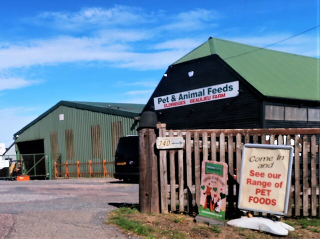
With a population of around 1,500 people, Baldslow is a close-knit community that prides itself on its friendly atmosphere and strong community spirit. The village is predominantly residential, with a mix of traditional cottages, modern houses, and a few small businesses. The village center is home to a handful of local amenities, including a convenience store, a post office, and a cozy local pub where villagers often gather to socialize.
The natural beauty of the surrounding area provides ample opportunities for outdoor activities. Baldslow is located near a number of walking trails and scenic countryside, making it a popular destination for hikers and nature enthusiasts. The nearby Combe Valley Countryside Park offers additional recreational opportunities, with its nature reserves, wildlife habitats, and picturesque landscapes.
Transport links in Baldslow are convenient, with regular bus services connecting the village to nearby towns and villages, including Hastings. The village also benefits from its proximity to major road networks, such as the A21, which provides easy access to other parts of Sussex and beyond.
Overall, Baldslow offers a peaceful and charming countryside lifestyle, making it an appealing place to reside or visit for those seeking a slower pace of life amidst the beauty of rural Sussex.
If you have any feedback on the listing, please let us know in the comments section below.
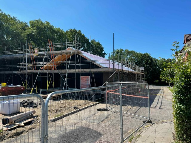
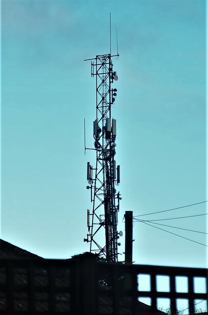
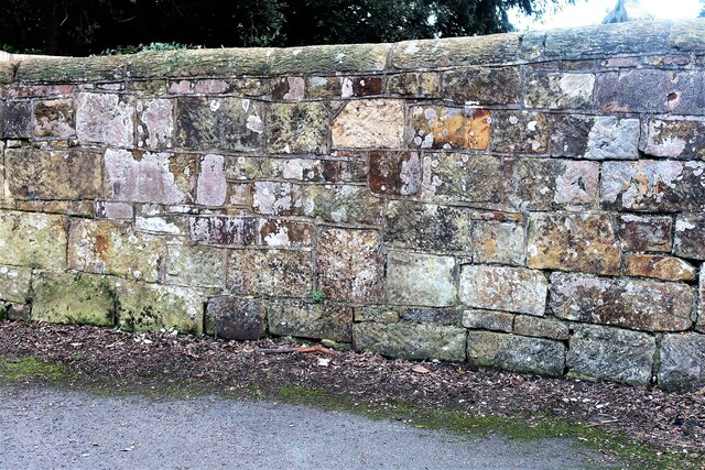
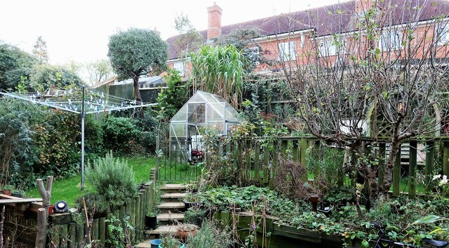
Baldslow Images
Images are sourced within 2km of 50.889479/0.556619 or Grid Reference TQ7913. Thanks to Geograph Open Source API. All images are credited.


Baldslow is located at Grid Ref: TQ7913 (Lat: 50.889479, Lng: 0.556619)
Administrative County: East Sussex
District: Hastings
Police Authority: Sussex
What 3 Words
///boss.sweat.recent. Near St Leonards-on-Sea, East Sussex
Nearby Locations
Related Wikis

Baldslow
Baldslow is a suburb in the north of Hastings, East Sussex, England. It is sometimes considered part of Conquest as Bohemia and Silverhill. The area lies...
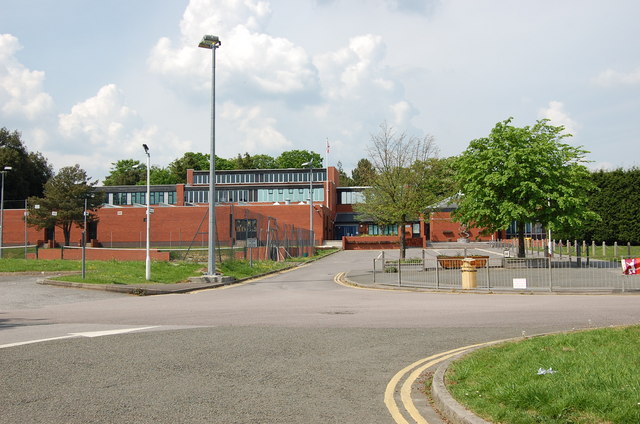
Ark Helenswood Academy
Ark Helenswood Academy (formerly Hastings High School for Girls and then Helenswood School) was a secondary school and sixth form for girls located in...
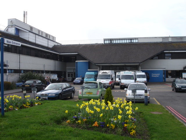
Conquest Hospital
Conquest Hospital is a National Health Service hospital in St Leonards-on-Sea in Hastings in East Sussex, England. It is managed by the East Sussex Healthcare...

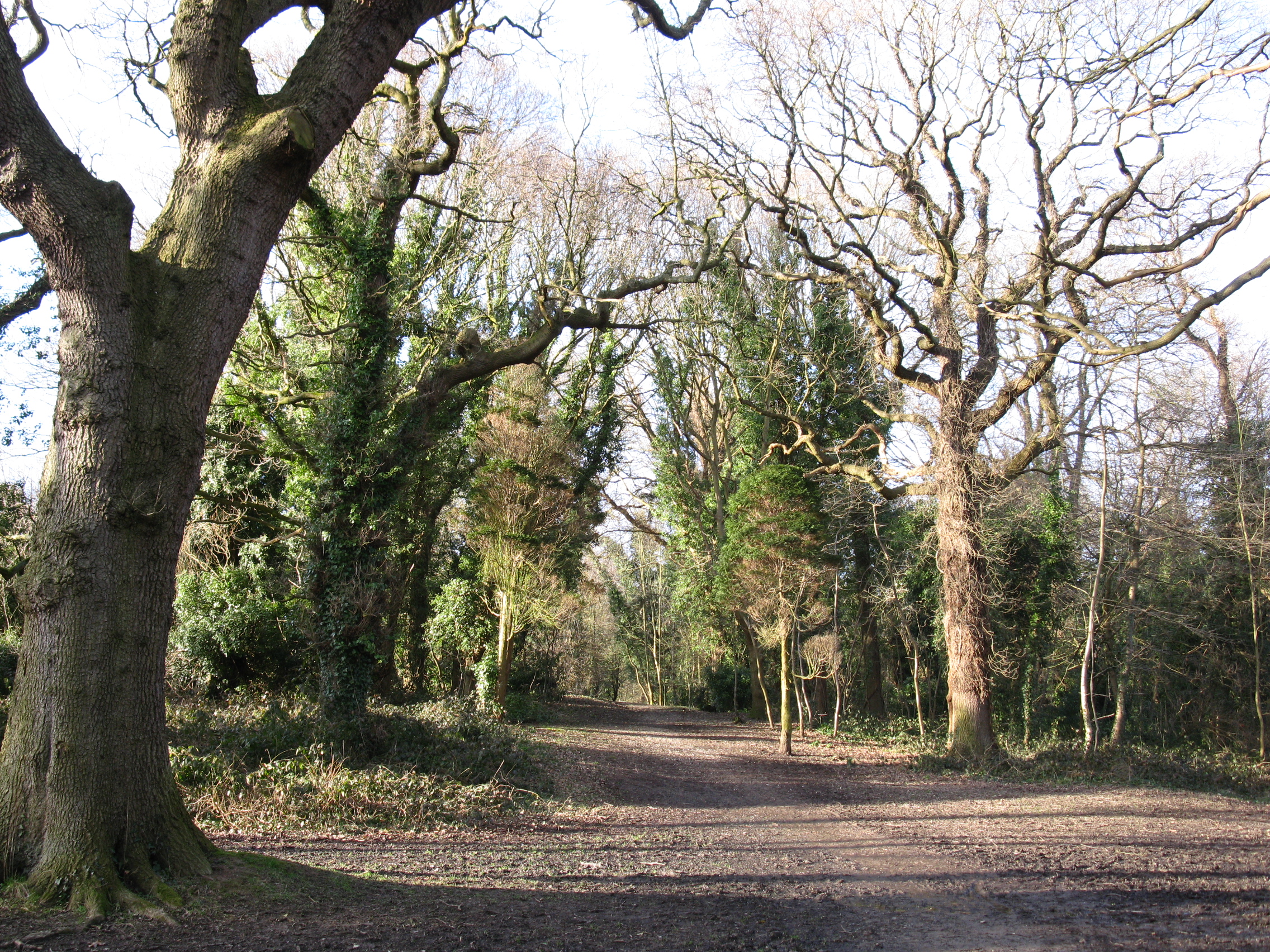
Maplehurst Wood
Maplehurst Wood is a 31.6-hectare (78-acre) biological Site of Special Scientific Interest on the northern outskirts of Hastings in East Sussex.This wood...
East Sussex Healthcare NHS Trust
East Sussex Healthcare NHS Trust is an NHS trust which runs Conquest Hospital in St Leonards-on-Sea, Eastbourne District General Hospital, and Bexhill...

Beauport Park
Beauport Park is a house near Hastings, East Sussex, England. It is located at the western end of the ridge of hills sheltering Hastings from the north...
Old Roar Gill and Coronation Wood
Old Roar Gill and Coronation Wood is a 7.6-hectare (19-acre) Local Nature Reserve in Hastings in East Sussex. It is owned and managed by Hastings Borough...
Ark Alexandra Academy
Ark Alexandra, previously known as Hastings Grammar School, William Parker School, William Parker Sports College, and later as Ark William Parker is a...
Nearby Amenities
Located within 500m of 50.889479,0.556619Have you been to Baldslow?
Leave your review of Baldslow below (or comments, questions and feedback).