Beveridgewell
Settlement in Fife
Scotland
Beveridgewell
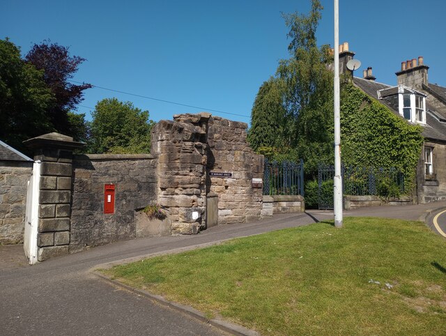
Beveridgewell is a small village located in the county of Fife, in eastern Scotland. Situated just a few miles north of the town of Dunfermline, Beveridgewell is known for its picturesque countryside and serene atmosphere. The village is surrounded by rolling hills and farmland, providing a tranquil and scenic setting for residents and visitors alike.
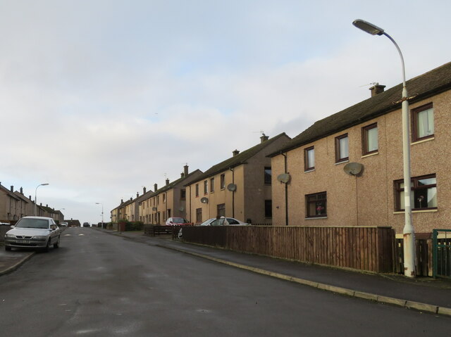
The history of Beveridgewell dates back to the medieval period when it was primarily an agricultural community. Today, it retains its rural charm with several traditional cottages and farmhouses dotting the landscape. The village has a close-knit community, with a population of approximately 500 residents.
Despite its small size, Beveridgewell offers a range of amenities and services to its residents. The village has a primary school, providing education to local children, and a village hall that hosts various community events and gatherings. Additionally, there are a few local businesses, including a convenience store and a pub, which serve as social hubs for the community.
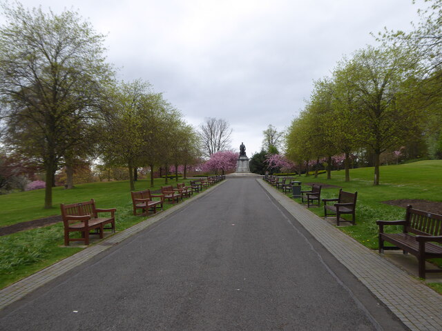
The surrounding area offers plenty of opportunities for outdoor activities and exploration. Beveridgewell is located near the Firth of Forth, providing easy access to coastal walks and beautiful beaches. The nearby Lomond Hills Regional Park is also a popular destination for hiking and enjoying stunning panoramic views of the surrounding countryside.
Overall, Beveridgewell is a peaceful and charming village, offering a tranquil escape from the hustle and bustle of nearby towns and cities. With its picturesque setting and close-knit community, it is a place that truly captures the essence of rural Scotland.
If you have any feedback on the listing, please let us know in the comments section below.
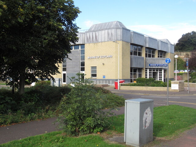
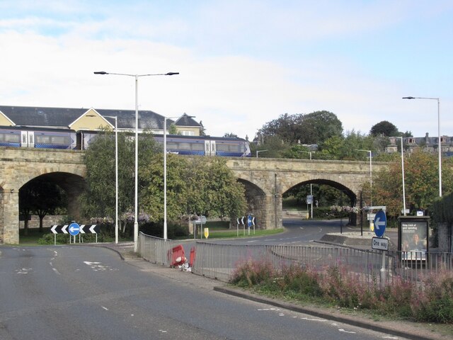
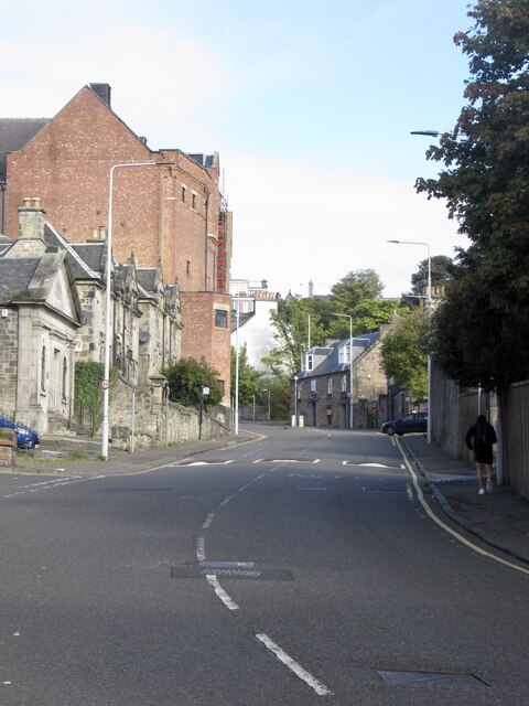
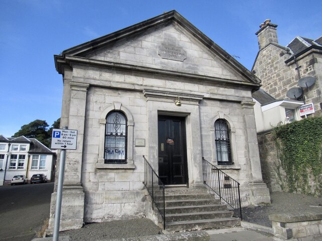
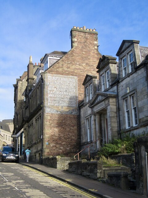
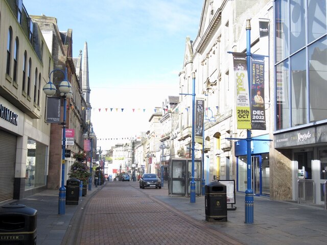
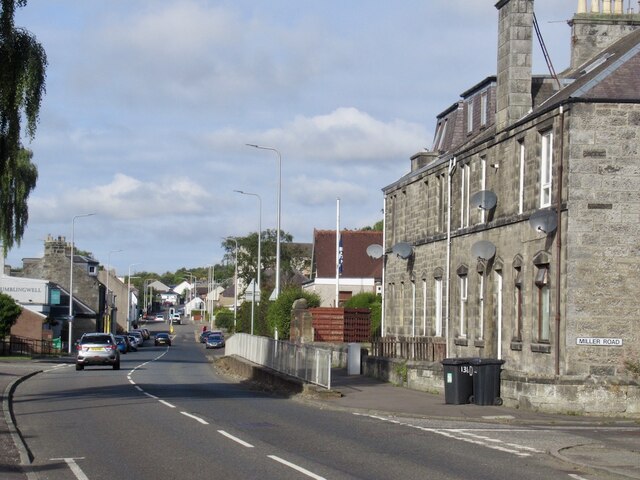
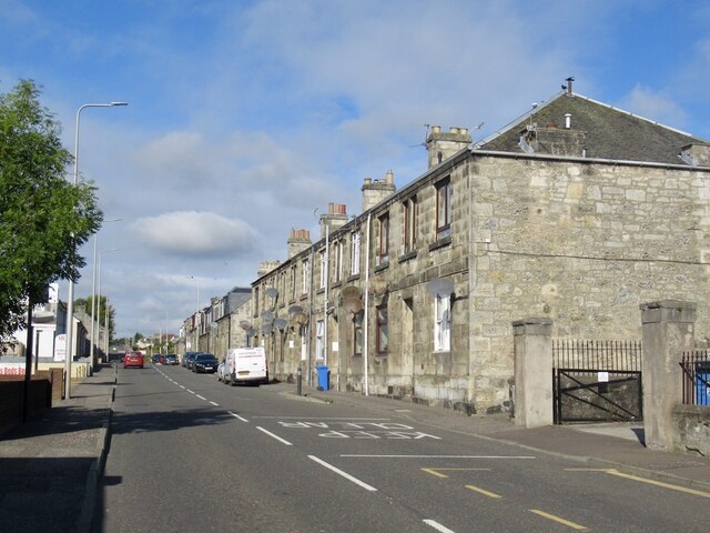
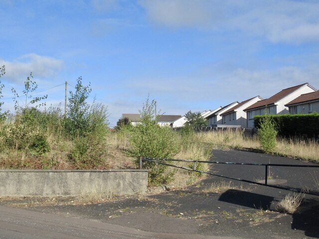
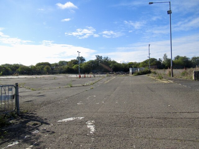
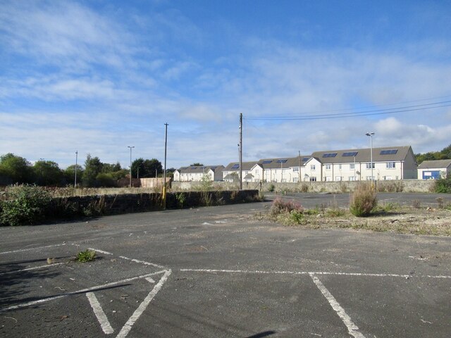
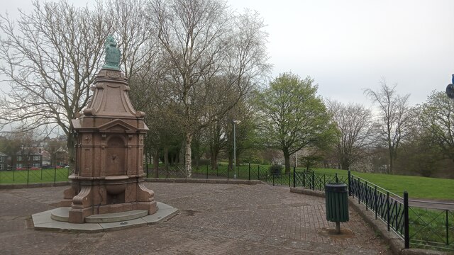
Beveridgewell Images
Images are sourced within 2km of 56.076953/-3.466213 or Grid Reference NT0888. Thanks to Geograph Open Source API. All images are credited.
Beveridgewell is located at Grid Ref: NT0888 (Lat: 56.076953, Lng: -3.466213)
Unitary Authority: Fife
Police Authority: Fife
What 3 Words
///opens.dices.scale. Near Dunfermline, Fife
Nearby Locations
Related Wikis

McLean Primary School
McLean Primary School is located in the centre of Dunfermline, Fife. The head teacher is Carol Newton. Pupils from the school progress onto Queen Anne...

Queen Anne High School, Dunfermline
Queen Anne High School is a large secondary school in the city of Dunfermline in Fife. It is named for Anne of Denmark, the queen of James VI, whose former...

Kingsgate, Dunfermline
The Kingsgate Centre is an indoor shopping centre located in the town centre of Dunfermline, Fife, Scotland. Marks and Spencer and the former Debenhams...
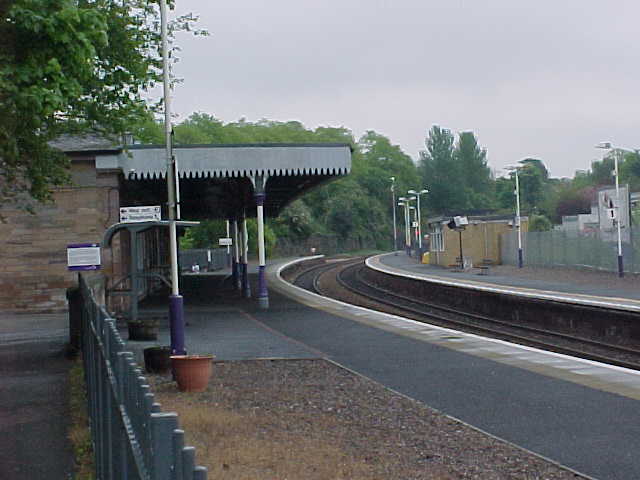
Dunfermline Upper railway station
Dunfermline Upper railway station served the town (now city) of Dunfermline, Fife, Scotland from 1849 to 1968 on the Stirling and Dunfermline Railway....

Dunfermline City Chambers
Dunfermline City Chambers is a municipal facility at the corner of Bridge Street and Kirkgate in Dunfermline, Fife. The building, which serves as home...
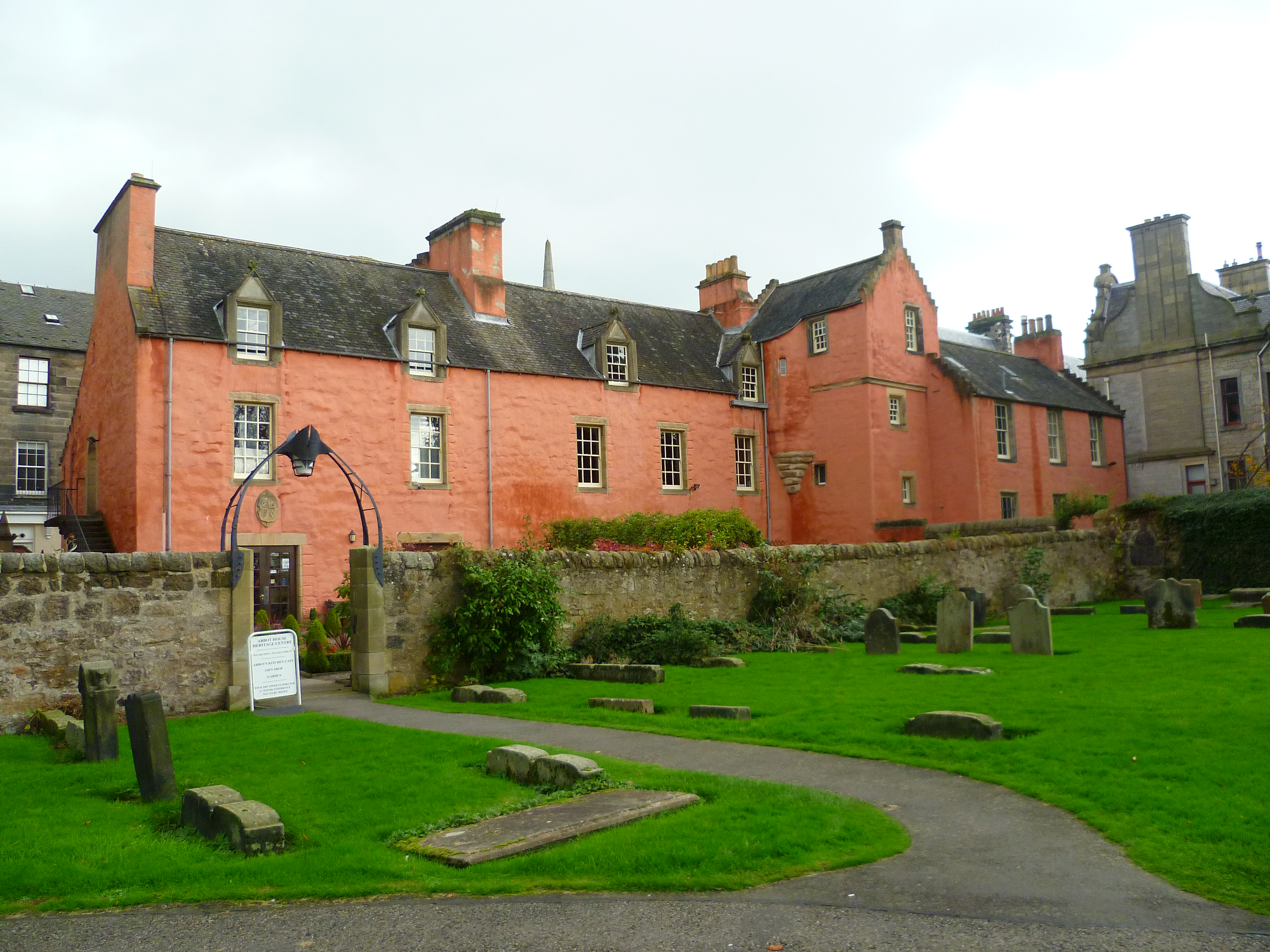
Abbot House, Dunfermline
Abbot House is the oldest secular building in Dunfermline, Scotland. Lying in the shadow of Dunfermline's great abbey church, the core of the building...

Dunfermline Carnegie Library
The Dunfermline Carnegie Library opened in Dunfermline, Scotland, on 29 August 1883 and was the world's first Carnegie Library funded by the Scottish-American...
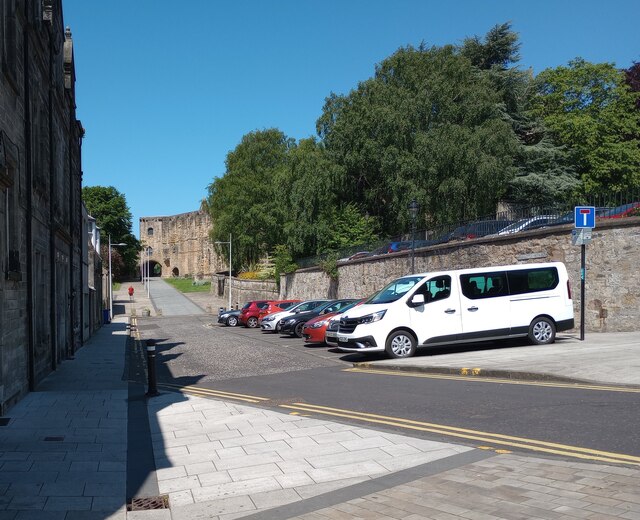
Malcolm's Tower
Malcolm's Tower, also known as Malcolm Canmore's Tower, is a historic site in the Scottish city of Dunfermline, Fife. It consists of the foundations of...
Nearby Amenities
Located within 500m of 56.076953,-3.466213Have you been to Beveridgewell?
Leave your review of Beveridgewell below (or comments, questions and feedback).