West Common
Downs, Moorland in Yorkshire Selby
England
West Common
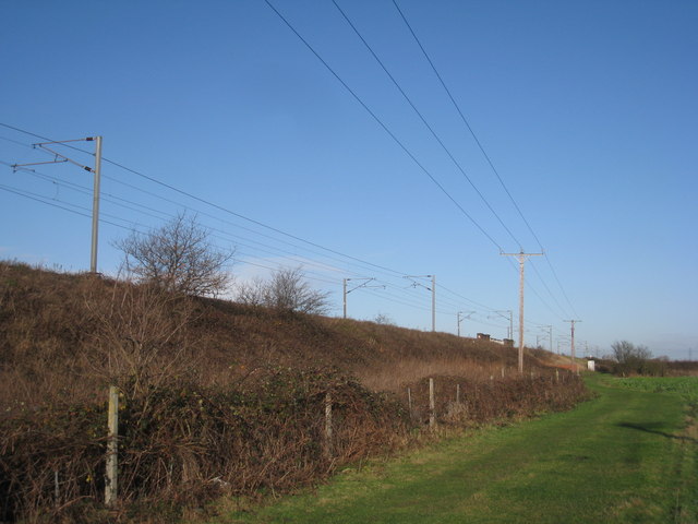
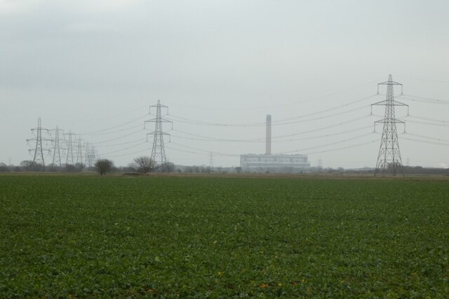
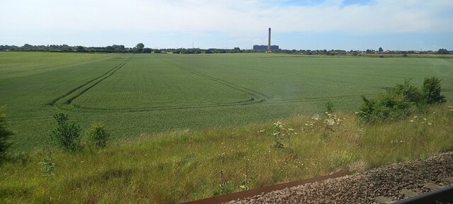
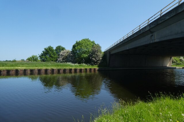
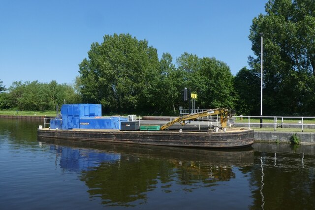
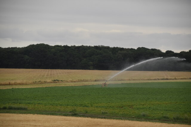
West Common is a stunning natural area situated in Yorkshire, England. It encompasses a diverse landscape consisting of downs, moorland, and open grassy spaces, covering approximately 1,000 hectares. Located to the west of the city of Lincoln, West Common is a popular destination for both locals and tourists seeking tranquility and natural beauty.
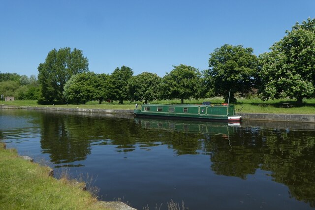
The downs of West Common are characterized by gently rolling hills covered in lush green grass, offering breathtaking views of the surrounding countryside. This area is ideal for leisurely walks, picnics, and outdoor activities such as kite flying and frisbee. The downs are also home to a variety of wildlife, including rabbits, birds, and occasionally even deer.
The moorland section of West Common is dominated by heather and shrubs, creating a unique and rugged landscape. It provides a habitat for numerous species of birds, including grouse and skylarks, making it a haven for birdwatchers and nature enthusiasts. The moorland is also crisscrossed by winding footpaths, allowing visitors to explore and immerse themselves in the peacefulness of this unspoiled environment.
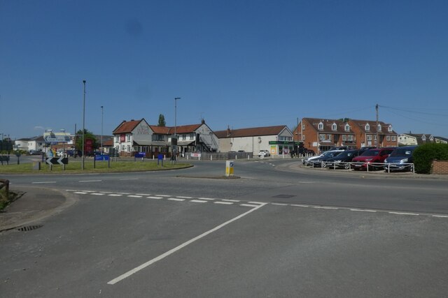
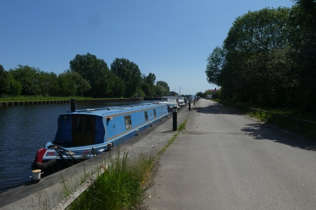
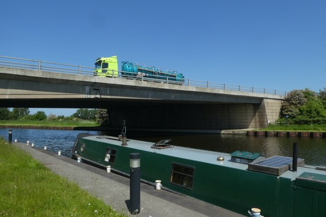
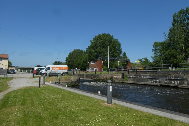
West Common is managed by the local authorities, ensuring its preservation and upkeep. The area is well-maintained, with clearly marked paths and designated picnic areas. It is easily accessible by public transport and offers ample parking facilities for those arriving by car.
Overall, West Common in Yorkshire is a remarkable destination, offering a harmonious blend of downs, moorland, and open grassy spaces. Its natural beauty, diverse wildlife, and tranquil atmosphere make it a must-visit location for anyone seeking respite from the hustle and bustle of everyday life.
If you have any feedback on the listing, please let us know in the comments section below.
West Common Images
Images are sourced within 2km of 53.702135/-1.1189422 or Grid Reference SE5823. Thanks to Geograph Open Source API. All images are credited.
West Common is located at Grid Ref: SE5823 (Lat: 53.702135, Lng: -1.1189422)
Division: West Riding
Administrative County: North Yorkshire
District: Selby
Police Authority: North Yorkshire
What 3 Words
///hairstyle.hinted.rams. Near Pollington, East Yorkshire
Nearby Locations
Related Wikis
Hensall railway station
Hensall railway station serves the village of Hensall in North Yorkshire, England. It is located on the Pontefract Line and is 22 miles (35 km) east of...

Hensall, North Yorkshire
Hensall is a village and civil parish in the English county of North Yorkshire. == History == Hensall can trace its roots back at least as far as the 1086...

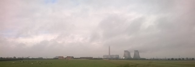
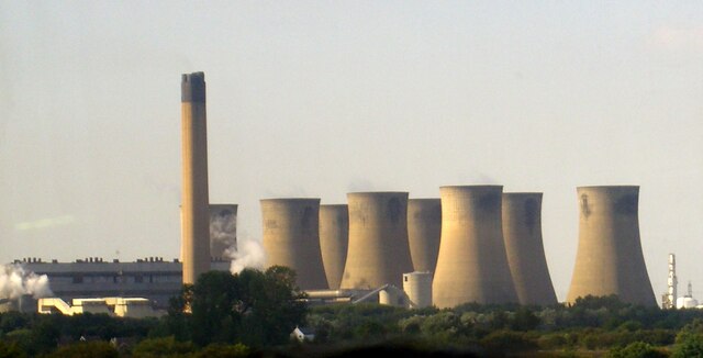
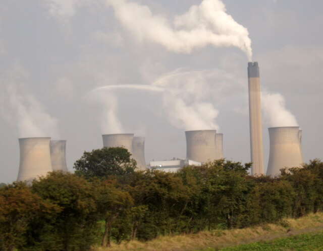
Eggborough power station
Eggborough power station was a coal-fired power station in North Yorkshire, England, which was capable of co-firing biomass. It was situated on the River...

Eggborough
Eggborough is a village and civil parish in North Yorkshire, England, close to the county borders with South Yorkshire, West Yorkshire and the East Riding...

Heck, North Yorkshire
Heck is a civil parish in the English county of North Yorkshire. The population of this civil parish at the census 2011 was 201, a slight drop on the 2001...

Selby rail crash
The Selby rail crash (also known as the Great Heck Rail Crash) was a high-speed rail crash that occurred at Great Heck near Selby, North Yorkshire, England...

Temple Hirst Preceptory
Temple Hirst Preceptory was a priory in North Yorkshire, England. == History and overview == The Knights Templar established a preceptory at Temple Hirst...

Great Heck
Great Heck is a small village in Heck parish, about 7 miles (11 km) south of Selby, North Yorkshire, England. The population of the parish was 201 at the...
Nearby Amenities
Located within 500m of 53.702135,-1.1189422Have you been to West Common?
Leave your review of West Common below (or comments, questions and feedback).