New Ings

Downs, Moorland in Yorkshire

England

New Ings

Church of St John the Baptist A large church in what would have been a small village in medieval times. The church is described across almost two full pages of the Pevsner/Harman guide to this part of the old West Riding, but entry on this occasion was barred by locked gates.
Church of St John the Baptist Credit: Gordon Hatton

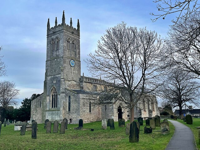
New Ings is a small village located in the Yorkshire Downs, surrounded by vast stretches of moorland. The village is characterized by its picturesque countryside setting, with rolling hills and open fields dominating the landscape.

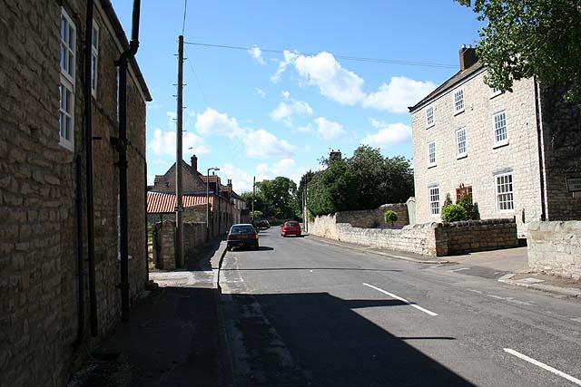
The village itself is quaint and charming, with a handful of traditional stone cottages and a local pub serving as the focal point for social gatherings. The community is tight-knit, with residents often coming together for events and celebrations.

New Ings is a popular destination for outdoor enthusiasts, with numerous walking and cycling routes crisscrossing the surrounding moorland. The area is also known for its abundance of wildlife, including rare bird species and native plants.

Despite its remote location, New Ings is within easy reach of larger towns and cities, with good transport links connecting it to the rest of Yorkshire. The village offers a peaceful retreat from the hustle and bustle of urban life, making it an ideal destination for those looking to escape to the countryside.

If you have any feedback on the listing, please let us know in the comments section below.
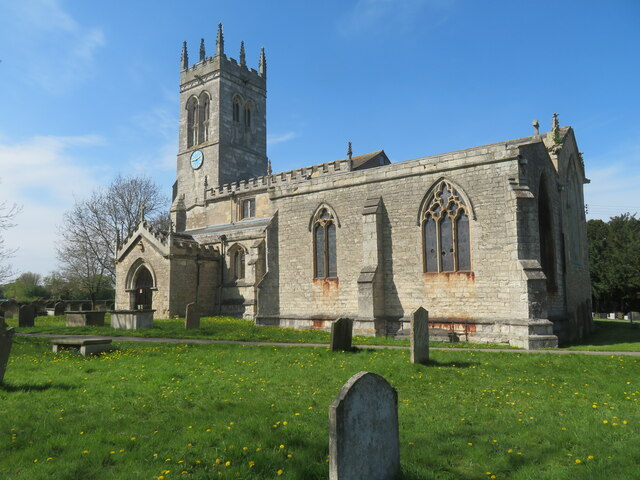
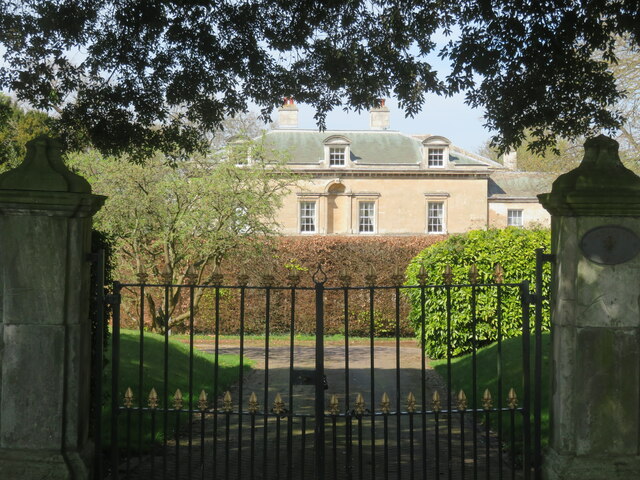
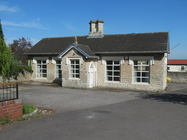
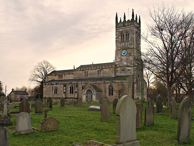
New Ings Images

Images are sourced within 2km of 53.474577/-1.1221096 or Grid Reference SK5897. Thanks to Geograph Open Source API. All images are credited.

Church of St John the Baptist A large church in what would have been a small village in medieval times. The church is described across almost two full pages of the Pevsner/Harman guide to this part of the old West Riding, but entry on this occasion was barred by locked gates.
Church of St John the Baptist
A large church in what would have been a small village in medieval times. The church is described across almost two full pages of the Pevsner/Harman guide to this part of the old West Riding, but entry on this occasion was barred by locked gates.
Wadworth Hall Only the upper floors of this mid 18th century house are visible from the road, but it is described by Pevsner/Harman as 'A gracious house of no great size but nevertheless one of James Paine's most dramatic designs'.
Wadworth Hall
Only the upper floors of this mid 18th century house are visible from the road, but it is described by Pevsner/Harman as 'A gracious house of no great size but nevertheless one of James Paine's most dramatic designs'.
East Lodge, Wadworth Hall Like the hall itself, the lodges either side of the gateway are part hidden behind trees and hedges, so details are obscured. The lodges are of a similar age to the hall, whilst the door surrounds are described by Harman/Pevsner as rather in the style of Vanbrugh.
East Lodge, Wadworth Hall
Like the hall itself, the lodges either side of the gateway are part hidden behind trees and hedges, so details are obscured. The lodges are of a similar age to the hall, whilst the door surrounds are described by Harman/Pevsner as rather in the style of Vanbrugh.
Former school, Wadworth There's a date of 1840 over the porch and the building is shown as a school on the OS 25" map of 1892.
Former school, Wadworth
There's a date of 1840 over the porch and the building is shown as a school on the OS 25" map of 1892.
Church of St John the Baptist Grade I listed parish church dating from the 12th century
Church of St John the Baptist
Grade I listed parish church dating from the 12th century
Church of St John the Baptist Grade I listed parish church dating from the 12th century
Church of St John the Baptist
Grade I listed parish church dating from the 12th century
Butcher's shop and cafe The Tweed at Wadworth is a very popular cafe on Carr Lane where booking is advisable. We didn't and had to find an alternative venue for lunch.
Butcher's shop and cafe
The Tweed at Wadworth is a very popular cafe on Carr Lane where booking is advisable. We didn't and had to find an alternative venue for lunch.
The White Hart Public house and restaurant on the A60 Main Street in Wadworth.
The White Hart
Public house and restaurant on the A60 Main Street in Wadworth.
The White Hart, Wadworth Which contains the Post Office
The White Hart, Wadworth
Which contains the Post Office
'Stealth' Cadillac Series 62 A greatly customised example dating from 1946 that looks less than practical for British roads but may slip below the radar.
'Stealth' Cadillac Series 62
A greatly customised example dating from 1946 that looks less than practical for British roads but may slip below the radar.
Butchers and cafe, Wadworth
St John the Baptist, Wadworth
Welcome to Wadworth
Welcome to Wadworth
St Katherine’s church, Loversall From the church website;

"St Katherine’s church has been known to exist since around 1208, but it is likely that the nearby well indicates that there has been a place of worship at Loversall for millennia. The fate of the church has been connected for most of its known history to the owners of the Hall at Loversall. Successive owners being patrons of various generosity towards the church. Many of the families are remembered either in the graveyard or within the church itself."

It still has an active and well used graveyard.
St Katherine’s church, Loversall
From the church website; "St Katherine’s church has been known to exist since around 1208, but it is likely that the nearby well indicates that there has been a place of worship at Loversall for millennia. The fate of the church has been connected for most of its known history to the owners of the Hall at Loversall. Successive owners being patrons of various generosity towards the church. Many of the families are remembered either in the graveyard or within the church itself." It still has an active and well used graveyard.
Rainbow over St Katherine’s graveyard, Loversall
Seat with a view On Tofield Road, below the A1(M) and M18 junction
Seat with a view
On Tofield Road, below the A1(M) and M18 junction
Flooded path at Lockwell Ings
Show me another place!

New Ings is located at Grid Ref: SK5897 (Lat: 53.474577, Lng: -1.1221096)

Division: West Riding

Unitary Authority: Doncaster

Police Authority: South Yorkshire

What 3 Words

///proofs.indoor.shortcuts. Near Wadworth, South Yorkshire

Nearby Locations

New Ings Wadworth Carr

Related Wikis

Loversall

Loversall is a village and civil parish in the City of Doncaster in South Yorkshire, England. It has a population of 128, increasing to 156 at the 2011...

Doncaster iPort

Doncaster iPort or Doncaster Inland Port is an intermodal rail terminal; a Strategic Rail Freight Interchange, under construction in Rossington, Doncaster...

Wadworth

Wadworth is a village and civil parish in the City of Doncaster in South Yorkshire, England. The parish had a population of 1,137 at the 2011 Census, a...
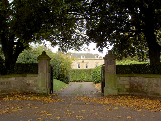
Wadworth Hall

Wadworth Hall is a grade I listed Manor House, in the village of Wadworth (near Doncaster), England. It was built in 1749 for the Wordsworth family by...

Have you been to New Ings?

Leave your review of New Ings below (or comments, questions and feedback).