Gallows Hill
Hill, Mountain in Yorkshire Selby
England
Gallows Hill

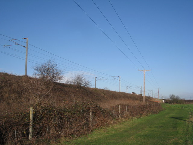
Gallows Hill is a notable landmark located in the county of Yorkshire, England. Situated in the northern part of the county, this hill stands at an elevation of approximately 300 meters (984 feet) above sea level. It is renowned for its historical significance and picturesque views that attract both locals and tourists alike.
The name "Gallows Hill" originates from its dark past as a site for public executions during the medieval period. It was commonly used as a place of punishment for criminals and those accused of witchcraft. The hill's location provided a visible and somber reminder of the consequences of such acts, serving as a deterrent to potential wrongdoers.
Today, Gallows Hill offers visitors a captivating blend of natural beauty and historical intrigue. The hill boasts stunning vistas of the surrounding countryside, with panoramic views that stretch for miles. Its location within Yorkshire's picturesque landscape makes it a popular destination for hikers, nature enthusiasts, and photographers.
In addition to its natural allure, Gallows Hill offers a unique opportunity to delve into Yorkshire's rich historical heritage. Visitors can explore the remnants of the gallows and learn about the hill's chilling past through informational plaques and guided tours. Several nearby attractions, including museums and heritage sites, also shed light on the region's history, providing a comprehensive understanding of Gallows Hill's role in Yorkshire's story.
Gallows Hill stands as a testament to Yorkshire's past, offering a fascinating glimpse into the county's history while providing a scenic escape for those seeking natural beauty in this captivating region of England.
If you have any feedback on the listing, please let us know in the comments section below.
Gallows Hill Images
Images are sourced within 2km of 53.707395/-1.1130149 or Grid Reference SE5823. Thanks to Geograph Open Source API. All images are credited.


Gallows Hill is located at Grid Ref: SE5823 (Lat: 53.707395, Lng: -1.1130149)
Division: West Riding
Administrative County: North Yorkshire
District: Selby
Police Authority: North Yorkshire
What 3 Words
///torch.kebab.overpaid. Near Pollington, East Yorkshire
Nearby Locations
Related Wikis

Hensall, North Yorkshire
Hensall is a village and civil parish in the English county of North Yorkshire. == History == Hensall can trace its roots back at least as far as the 1086...
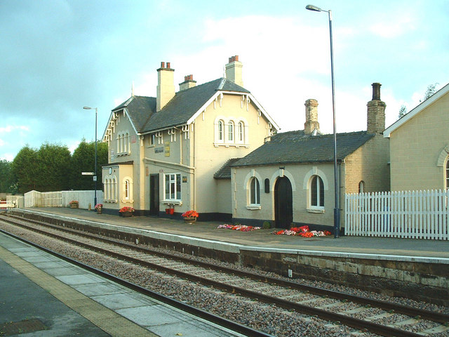
Hensall railway station
Hensall railway station serves the village of Hensall in North Yorkshire, England. It is located on the Pontefract Line and is 22 miles (35 km) east of...

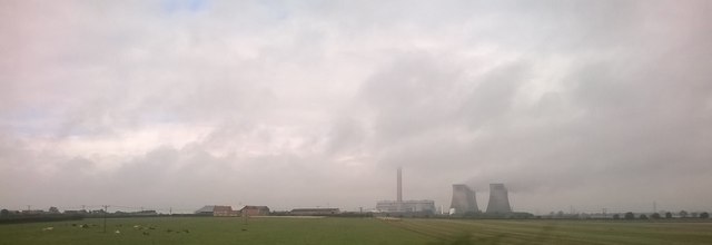
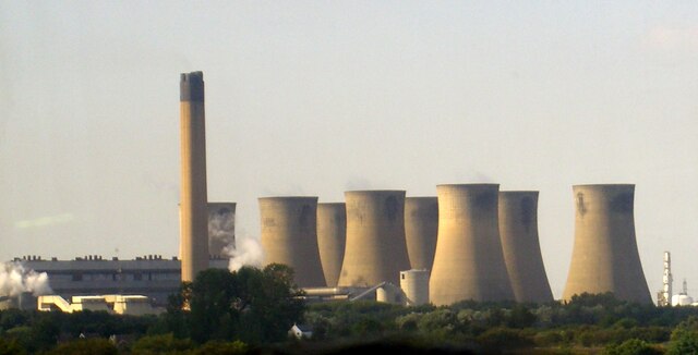
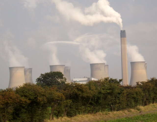
Eggborough power station
Eggborough power station was a coal-fired power station in North Yorkshire, England, which was capable of co-firing biomass. It was situated on the River...

Temple Hirst Preceptory
Temple Hirst Preceptory was a priory in North Yorkshire, England. == History and overview == The Knights Templar established a preceptory at Temple Hirst...

Temple Hirst
Temple Hirst is a village and civil parish in the Selby District of North Yorkshire, England. It was formerly in the wapentake of Barkston Ash in the West...
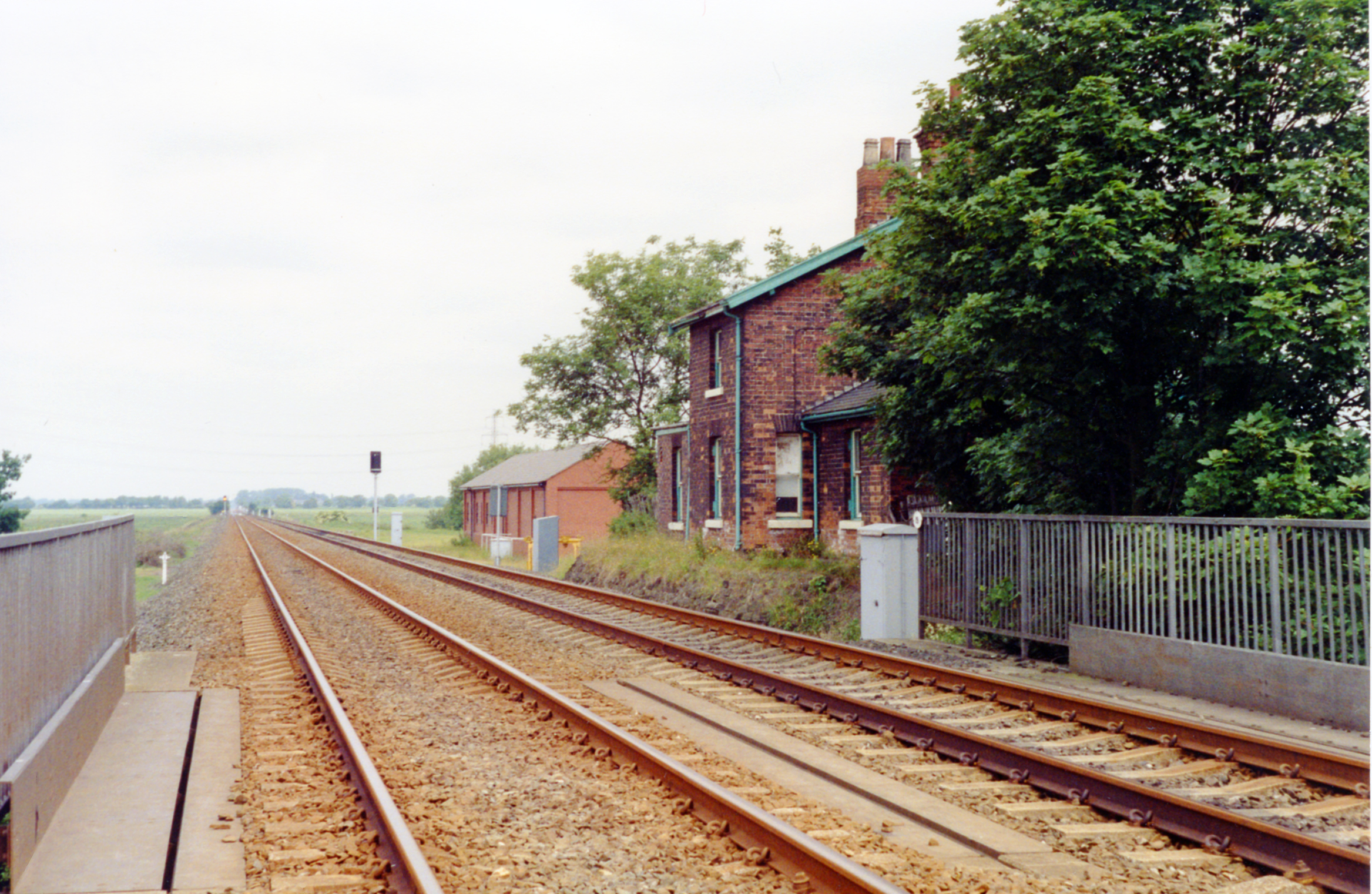
Temple Hirst railway station
Temple Hirst railway station served the village of Temple Hirst, North Yorkshire, England from 1871 to 1964 on the East Coast Main Line. == History... ==

Eggborough
Eggborough is a village and civil parish in North Yorkshire, England, close to the county borders with South Yorkshire, West Yorkshire and the East Riding...
Chapel Haddlesey
Chapel Haddlesey is a village and civil parish in the Selby District of North Yorkshire, England. The village used to be in the Barkston Ash Wapentake...
Nearby Amenities
Located within 500m of 53.707395,-1.1130149Have you been to Gallows Hill?
Leave your review of Gallows Hill below (or comments, questions and feedback).