Itchen Stoke Down

Downs, Moorland in Hampshire Winchester

England

Itchen Stoke Down

Cottage opposite the watercress beds being re-thatched
Cottage opposite the watercress beds being re-thatched Credit: Basher Eyre

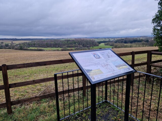
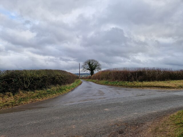
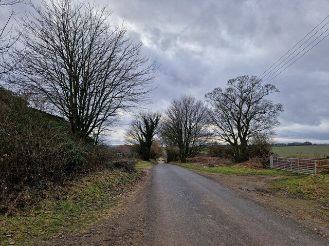
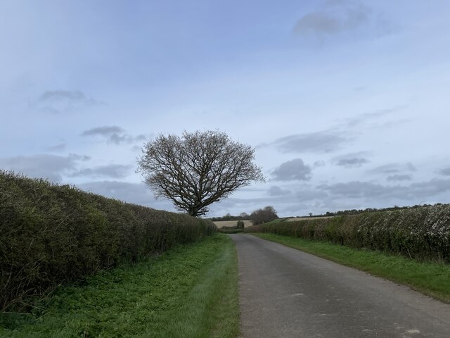
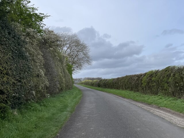
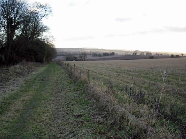
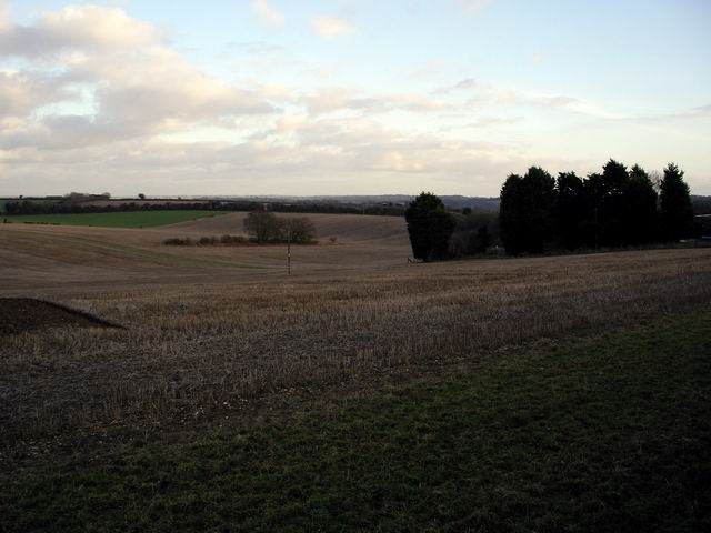
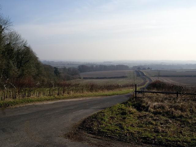
Itchen Stoke Down is a prominent natural area located in the county of Hampshire, England. It forms part of the extensive Downland landscape that characterizes the South Downs National Park. Spanning over an area of approximately 350 hectares, Itchen Stoke Down offers picturesque views and diverse ecosystems.

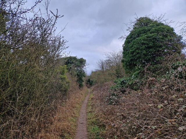
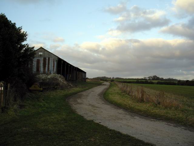
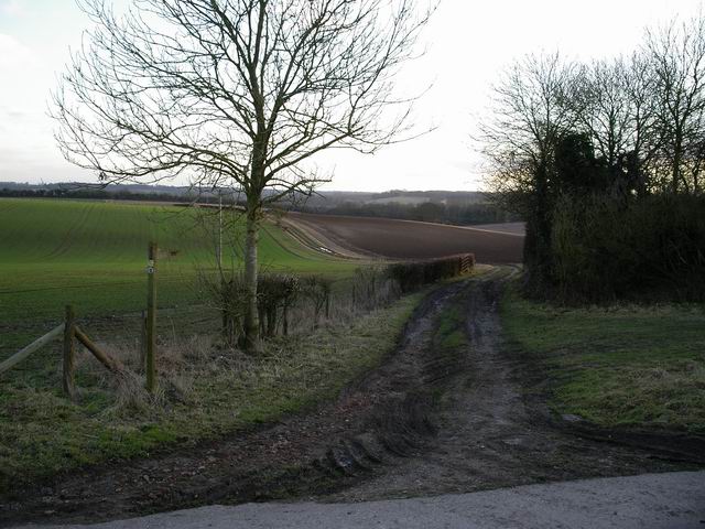
The Downland terrain of Itchen Stoke Down is characterized by rolling hills and open grassland, dotted with patches of woodland and scrub. The area is renowned for its rich biodiversity, providing a haven for a wide range of flora and fauna. The low-intensity grazing practices employed here have contributed to the preservation of many rare and native species.

The downland grasses are interspersed with vibrant wildflower meadows, creating a colorful tapestry during the spring and summer months. Orchids, cowslips, and harebells are just a few examples of the delightful flowers that can be found here.

Itchen Stoke Down is also home to a variety of bird species, making it a popular spot for birdwatching enthusiasts. Skylarks, yellowhammers, and kestrels are frequently spotted, along with migratory species such as swallows and swifts. The area's diverse habitats, including woodland and wetland areas, attract a wide range of birdlife.

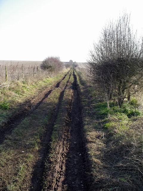
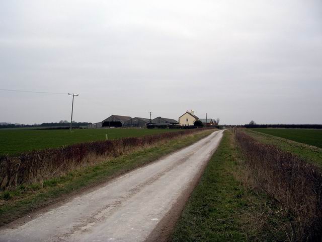
In addition to its natural beauty, Itchen Stoke Down offers numerous recreational opportunities for visitors. The network of footpaths and bridleways allows for pleasant walks and horse riding, while the open spaces provide ample space for picnics and nature appreciation. The area is well-maintained, with regular conservation work and habitat restoration projects to ensure the preservation of this unique landscape for future generations to enjoy.

If you have any feedback on the listing, please let us know in the comments section below.

Itchen Stoke Down Images

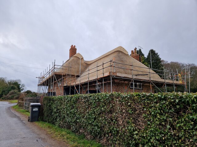
Images are sourced within 2km of 51.111077/-1.2141319 or Grid Reference SU5534. Thanks to Geograph Open Source API. All images are credited.

Cottage opposite the watercress beds being re-thatched
Alresford Historical Society Spitfire Memorial For more details see <span class="nowrap"><a title="https://www.alresfordhistandlit.co.uk/page15.html" rel="nofollow ugc noopener" href="https://www.alresfordhistandlit.co.uk/page15.html">Link</a><img style="margin-left:2px;" alt="External link" title="External link - shift click to open in new window" src="https://s1.geograph.org.uk/img/external.png" width="10" height="10"/></span>
Alresford Historical Society Spitfire Memorial
For more details see LinkExternal link
Wandering westwards along the Bashire (33) Wayfarer's Walk: heading from the Spitfire Memorial to Oxdrove Way
Wandering westwards along the Bashire (33)
Wayfarer's Walk: heading from the Spitfire Memorial to Oxdrove Way
Wandering westwards along the Bashire (34) The road north from Folly Hill
Wandering westwards along the Bashire (34)
The road north from Folly Hill
Looking from  Northington Road into Rectory Lane
Looking from Northington Road into Rectory Lane
Wandering westwards along the Bashire (36) Looking west-southwest along Northington Road
Wandering westwards along the Bashire (36)
Looking west-southwest along Northington Road
Northington Road
Northington Road
Northington Road
Northington Road
Northington Grange The Grange, now an empty shell, was one of the first houses in Europe re-modelled along classical Greek lines. <a href="https://www.geograph.org.uk/photo/149292">SU5636 : The Grange - western facade</a> was the only part of the building not clad in a classical facade.
In the 1970s the owner planned to demolish it and it was only after all the fittings had been sold and the roof removed that the building was rescued by the Department of the Environment. In 1980 it was re-roofed some parts restored. For more see <span class="nowrap"><a title="http://www.astoft.co.uk/grange.htm" rel="nofollow ugc noopener" href="http://www.astoft.co.uk/grange.htm">Link</a><img style="margin-left:2px;" alt="External link" title="External link - shift click to open in new window" src="https://s1.geograph.org.uk/img/external.png" width="10" height="10"/></span>
Northington Grange
The Grange, now an empty shell, was one of the first houses in Europe re-modelled along classical Greek lines. SU5636 : The Grange - western facade was the only part of the building not clad in a classical facade. In the 1970s the owner planned to demolish it and it was only after all the fittings had been sold and the roof removed that the building was rescued by the Department of the Environment. In 1980 it was re-roofed some parts restored. For more see LinkExternal link
Lone Farm Lone Farm, 1km north of Itchen Abbas.
Lone Farm
Lone Farm, 1km north of Itchen Abbas.
Track by Itchen Down Farm This track runs along the western side of Itchen Down farm. Looking south towards Northington Road (out of sight) and across the Itchen Valley.
Track by Itchen Down Farm
This track runs along the western side of Itchen Down farm. Looking south towards Northington Road (out of sight) and across the Itchen Valley.
Farm buildings at Itchen Down Farm Looking north.
Farm buildings at Itchen Down Farm
Looking north.
Oxdrove Way, Itchen Down The Oxdrove Way meanders in a south easterly direction from Northington Road.
Oxdrove Way, Itchen Down
The Oxdrove Way meanders in a south easterly direction from Northington Road.
Fields north of Itchen Abbas Looking south east from a stile on Rectory Lane, north of Itchen Abbas.
Fields north of Itchen Abbas
Looking south east from a stile on Rectory Lane, north of Itchen Abbas.
Oxdrove Way crossing Itchen Stoke Down The Oxdrove Way heads south east across Itchen Stoke Down from Northington Road.
Oxdrove Way crossing Itchen Stoke Down
The Oxdrove Way heads south east across Itchen Stoke Down from Northington Road.
Road to Abbotstone The road to Abbotstone heads south east from its junction with Northington Road.
Road to Abbotstone
The road to Abbotstone heads south east from its junction with Northington Road.
Track and gate Newhouse Farm This track leads from Northington Road to Newhouse Farm in SU5436.
Track and gate Newhouse Farm
This track leads from Northington Road to Newhouse Farm in SU5436.
Folly Hill Folly Hill Farm. The only buildings on the Stoke Itchen to Abbotstone road.
Folly Hill
Folly Hill Farm. The only buildings on the Stoke Itchen to Abbotstone road.
Show me another place!

Itchen Stoke Down is located at Grid Ref: SU5534 (Lat: 51.111077, Lng: -1.2141319)

Administrative County: Hampshire

District: Winchester

Police Authority: Hampshire

What 3 Words

///bigger.removing.ignore. Near New Alresford, Hampshire

Related Wikis

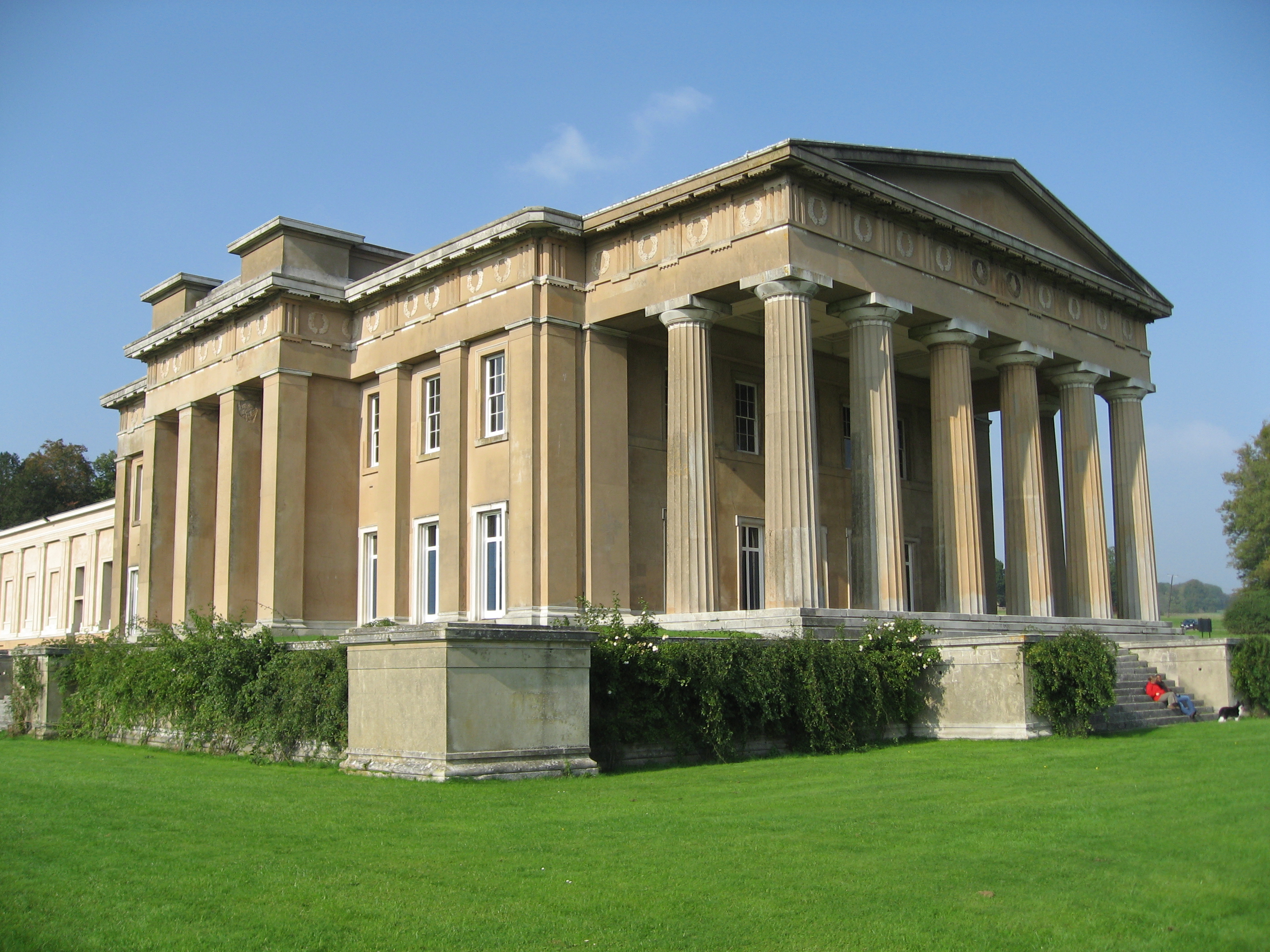
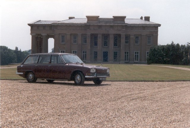
The Grange, Northington

The Grange is a 19th-century country house-mansion and English landscape park near Northington in Hampshire, England. It is currently owned by the Baring...

Fobdown

Fobdown is a hamlet in Hampshire, England. It lies 2 miles (3.2 km) north-west from New Alresford. It is in the civil parish of Old Alresford.

Capital South Coast

Capital South Coast was a regional radio station owned by operated by Global Radio as part of the Capital radio network. It broadcast to Hampshire from...

Northington Down

Northington Down is a hamlet in the civil parish of Northington in the City of Winchester district of Hampshire, England. Its nearest town is New Alresford...

Have you been to Itchen Stoke Down?

Leave your review of Itchen Stoke Down below (or comments, questions and feedback).