Cold Moor

Downs, Moorland in Yorkshire Hambleton

England

Cold Moor

Garfit Gap and upper Bilsdale In spite of the blue sky and sunshine over upper Bilsdale, Urra Moor was decidedly gloomy and showery this afternoon.

Ahead is Garfit Gap, the col between the Wainstones and Cold Moor.

The farm below the gap to the left is Whingroves where Jack Garbutt, the Bilsdale Bombardier, grew up as a child. He was killed on the Western Front in 1918.

To the right of the gap, nestled in a combe on Hasty Bank is Garfitts, a farm which has some history.

There is no mention of Bilsdale in the Domesday Book but there are indications of pre-Norman settlement. Perhaps William the Conqueror did indeed get lost on the moors above Bilsdale and told his legati not to bother with the dale when ordering the survey of his realm.

But the thinking is that medieval Bilsdale consisted of a number of scattered hamlets, and one of these was Garthwait, the ‘clearing with an enclosure’, situated where Garfitts farm is today.

Interesting too, and probably completed unconnected, is that ‘garfits’ is an 18th-century Yorkshire ‘provincialism’ for garbage.

For links and references see my blog <span class="nowrap"><a title="http://www.fhithich.uk/?p=27439" rel="nofollow ugc noopener" href="http://www.fhithich.uk/?p=27439">Link</a><img style="margin-left:2px;" alt="External link" title="External link - shift click to open in new window" src="https://s1.geograph.org.uk/img/external.png" width="10" height="10"/></span>
Garfit Gap and upper Bilsdale Credit: Mick Garratt

The requested URL returned error: 429 Too Many Requests

If you have any feedback on the listing, please let us know in the comments section below.
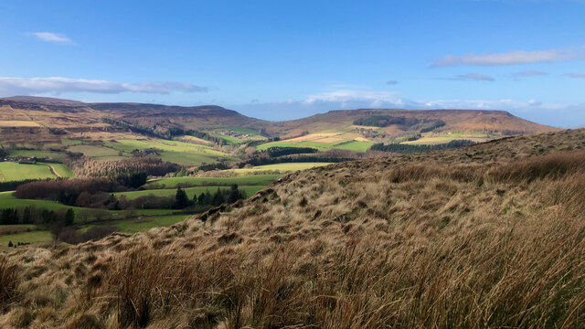
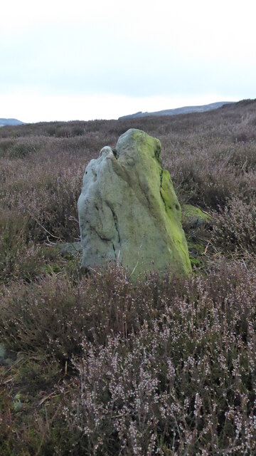
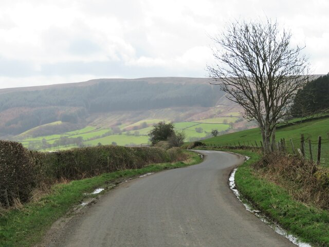
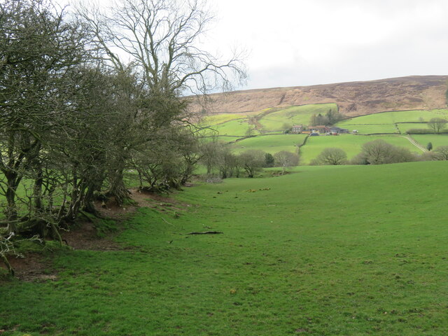
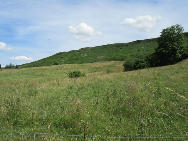
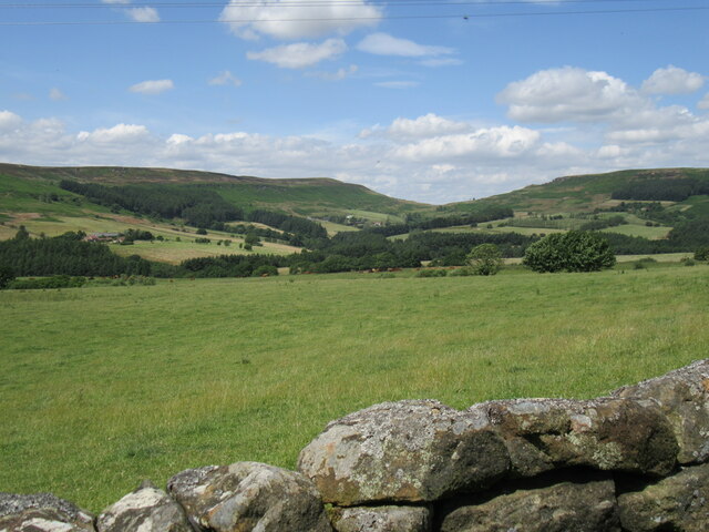
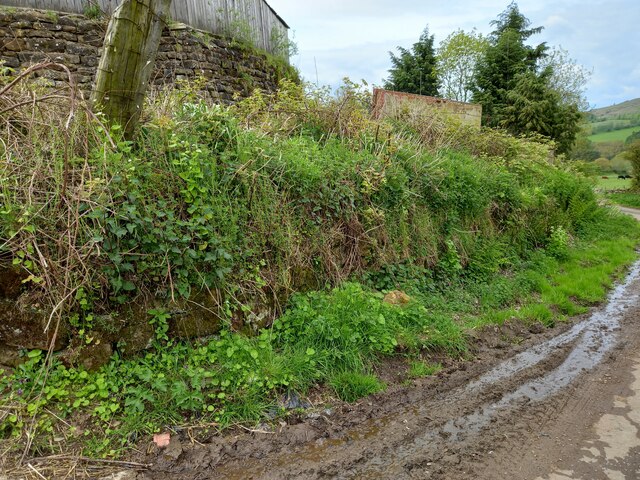
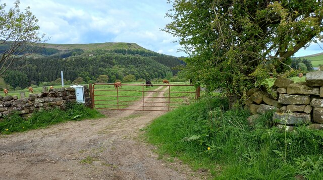
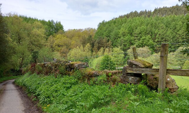
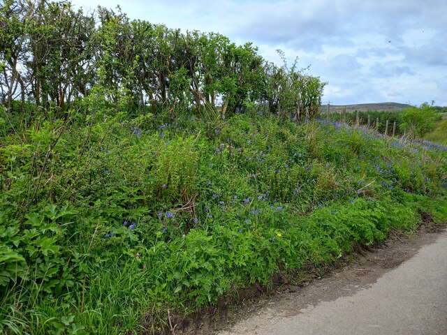
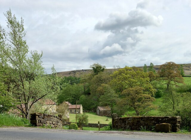
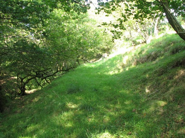
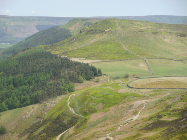
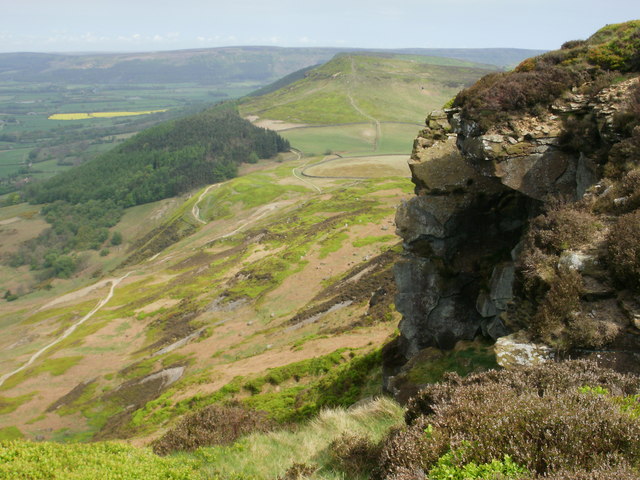
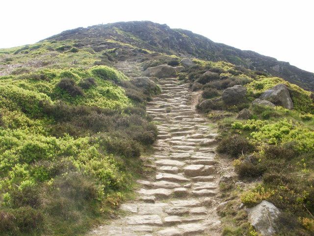
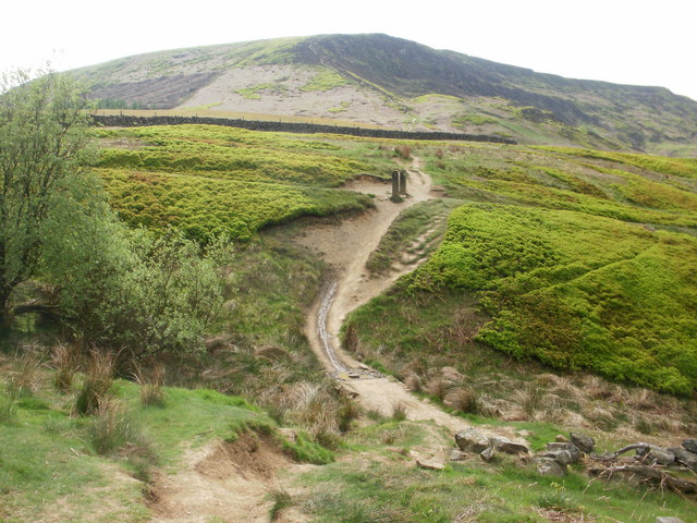
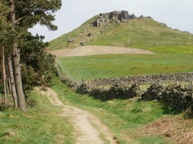
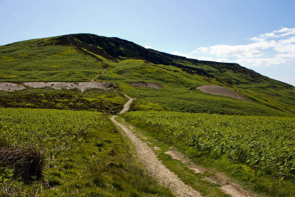
Cold Moor Images

Images are sourced within 2km of 54.412238/-1.152311 or Grid Reference NZ5502. Thanks to Geograph Open Source API. All images are credited.

Garfit Gap and upper Bilsdale In spite of the blue sky and sunshine over upper Bilsdale, Urra Moor was decidedly gloomy and showery this afternoon.

Ahead is Garfit Gap, the col between the Wainstones and Cold Moor.

The farm below the gap to the left is Whingroves where Jack Garbutt, the Bilsdale Bombardier, grew up as a child. He was killed on the Western Front in 1918.

To the right of the gap, nestled in a combe on Hasty Bank is Garfitts, a farm which has some history.

There is no mention of Bilsdale in the Domesday Book but there are indications of pre-Norman settlement. Perhaps William the Conqueror did indeed get lost on the moors above Bilsdale and told his legati not to bother with the dale when ordering the survey of his realm.

But the thinking is that medieval Bilsdale consisted of a number of scattered hamlets, and one of these was Garthwait, the ‘clearing with an enclosure’, situated where Garfitts farm is today.

Interesting too, and probably completed unconnected, is that ‘garfits’ is an 18th-century Yorkshire ‘provincialism’ for garbage.

For links and references see my blog <span class="nowrap"><a title="http://www.fhithich.uk/?p=27439" rel="nofollow ugc noopener" href="http://www.fhithich.uk/?p=27439">Link</a><img style="margin-left:2px;" alt="External link" title="External link - shift click to open in new window" src="https://s1.geograph.org.uk/img/external.png" width="10" height="10"/></span>
Garfit Gap and upper Bilsdale
In spite of the blue sky and sunshine over upper Bilsdale, Urra Moor was decidedly gloomy and showery this afternoon. Ahead is Garfit Gap, the col between the Wainstones and Cold Moor. The farm below the gap to the left is Whingroves where Jack Garbutt, the Bilsdale Bombardier, grew up as a child. He was killed on the Western Front in 1918. To the right of the gap, nestled in a combe on Hasty Bank is Garfitts, a farm which has some history. There is no mention of Bilsdale in the Domesday Book but there are indications of pre-Norman settlement. Perhaps William the Conqueror did indeed get lost on the moors above Bilsdale and told his legati not to bother with the dale when ordering the survey of his realm. But the thinking is that medieval Bilsdale consisted of a number of scattered hamlets, and one of these was Garthwait, the ‘clearing with an enclosure’, situated where Garfitts farm is today. Interesting too, and probably completed unconnected, is that ‘garfits’ is an 18th-century Yorkshire ‘provincialism’ for garbage. For links and references see my blog LinkExternal link
Old Waymarker Stone on Cold Moor Cold Moor waymarker, a standing stone set close to a track across Cold Moor. Bilsdale Midcable parish. Marked as a ‘stone’ on old Ordnance Survey maps.

Milestone Society National ID: YNHA_BIMI04
Old Waymarker Stone on Cold Moor
Cold Moor waymarker, a standing stone set close to a track across Cold Moor. Bilsdale Midcable parish. Marked as a ‘stone’ on old Ordnance Survey maps. Milestone Society National ID: YNHA_BIMI04
Raisdale Road The Carlton to Chop Gate road seen here dropping gently into Raisdale. Steep wooded slopes of West Bank in the distance, rising to Noon Hill.
Raisdale Road
The Carlton to Chop Gate road seen here dropping gently into Raisdale. Steep wooded slopes of West Bank in the distance, rising to Noon Hill.
Decayed hedge line, Raisdale This must have been a managed hedge at one time, but is now reduced to a line of straggly small trees. The farm at Staindale in the distance.
Decayed hedge line, Raisdale
This must have been a managed hedge at one time, but is now reduced to a line of straggly small trees. The farm at Staindale in the distance.
Near Urra Looking up towards Urra Moor.
Near Urra
Looking up towards Urra Moor.
The top of Bilsdale For some reason, this area of Explorer OL26 often has the words 'Foot Bridge', instead of the acronym 'FB'.
The top of Bilsdale
For some reason, this area of Explorer OL26 often has the words 'Foot Bridge', instead of the acronym 'FB'.
Roadside wall at Urra Farm entrance According to the 1913 map there is a benchmark cut into the wall to the north-west of the farm entrance. Nothing was found.
Roadside wall at Urra Farm entrance
According to the 1913 map there is a benchmark cut into the wall to the north-west of the farm entrance. Nothing was found.
Entrance to Mount House Farm at Urra According to the 1913 map there is a benchmark immediately to the east of the farm entrance. The cutmark is likely to be in the gatepost or wall. Nothing was found.
Entrance to Mount House Farm at Urra
According to the 1913 map there is a benchmark immediately to the east of the farm entrance. The cutmark is likely to be in the gatepost or wall. Nothing was found.
Lane leading from the village of Urra to B1257 According to the 1913 map there is a benchmark cut into a gatepost at this location. The field entrance and gateposts have gone.
Lane leading from the village of Urra to B1257
According to the 1913 map there is a benchmark cut into a gatepost at this location. The field entrance and gateposts have gone.
Hedgerow with bluebells near Urra village
Bilsdale, entrance to Holme Farm According to the OS benchmark database there is a rivet benchmark cut into the wall on the left of the entrance. Nothing was found.
Bilsdale, entrance to Holme Farm
According to the OS benchmark database there is a rivet benchmark cut into the wall on the left of the entrance. Nothing was found.
Public footpath to Broadfield Farm Little used path, leading uphill from the B1257.  It was quite overgrown to the west of this point.
Public footpath to Broadfield Farm
Little used path, leading uphill from the B1257. It was quite overgrown to the west of this point.
Looking east to north east across Cringle Moor Looking towards the second and third tops from the first top on a west-east traverse.
Looking east to north east across Cringle Moor
Looking towards the second and third tops from the first top on a west-east traverse.
Rocky outcrops just off the Cleveland Way
Looking back up the path towards the first top on Cringle Moor
Path leading to the middle top on Cringle Moor
Footpath on the Cleveland Way
Approaching the Wain Stones
Show me another place!

Cold Moor is located at Grid Ref: NZ5502 (Lat: 54.412238, Lng: -1.152311)

Division: North Riding

Administrative County: North Yorkshire

District: Hambleton

Police Authority: North Yorkshire

What 3 Words

///pony.baguette.definite. Near Bilsdale, North Yorkshire

Nearby Locations

Cold Moor

Related Wikis

Cringle Moor

Cringle Moor (also known as Cranimoor), at 432 m (1,417 ft), is the third-highest hill in the North York Moors, England, and the highest point west of...

Chop Gate

Chop Gate ( CHOP YAT) is a small village in the Hambleton district of North Yorkshire, England. The village lies within the North York Moors National Park...

Cleveland Hills

The Cleveland Hills are a range of hills on the north-west edge of the North York Moors in North Yorkshire, England, overlooking Cleveland and Teesside...

Kirkby, North Yorkshire

Kirkby (historically known as Kirkby-in-Cleveland) is a village and civil parish in Hambleton district of North Yorkshire, England, near Great Busby and...

Nearby Amenities

Located within 500m of 54.412238,-1.152311
Cold Moor
Note: Not really a peak - it's flat
Place: locality
Lat/Long: 54.4099027/-1.1515789
Ele: 367
Lat/Long: 54.4135577/-1.1516242
Ele: 367
Lat/Long: 54.4140286/-1.1516734
Ele: 380
Lat/Long: 54.4102242/-1.1508321
Beak Hills
Place: farm
Lat/Long: 54.414959/-1.1578425
The data included in this document is from www.openstreetmap.org. The data is made available under ODbL.

Have you been to Cold Moor?

Leave your review of Cold Moor below (or comments, questions and feedback).