Folly Hill
Hill, Mountain in Hampshire Winchester
England
Folly Hill
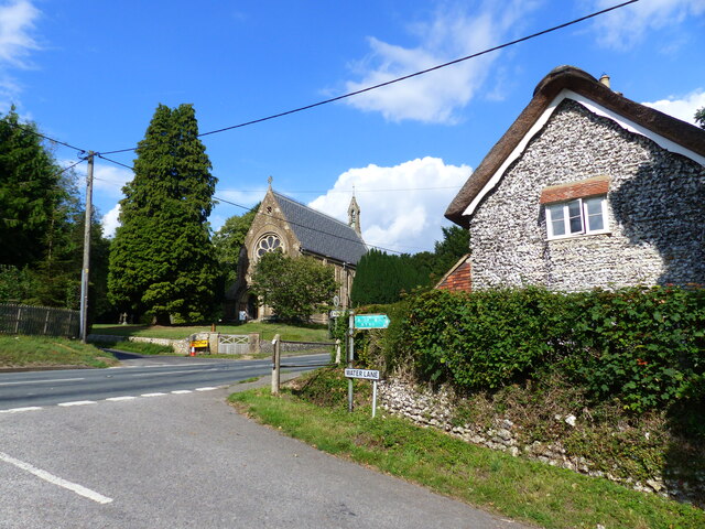
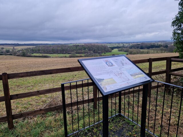
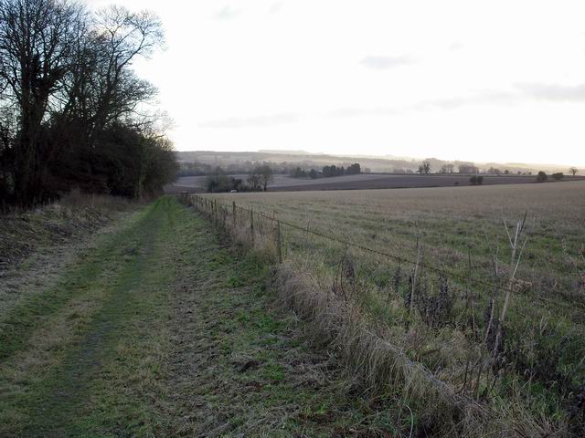
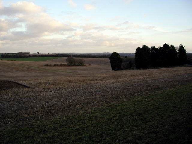
Folly Hill, located in Hampshire, England, is a prominent hill that offers stunning views of the surrounding countryside. Standing at an elevation of approximately 261 meters (856 feet), it is considered one of the highest points in the county. The hill is part of the South Downs National Park, a designated area of outstanding natural beauty.
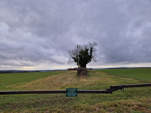
Folly Hill is known for its unique and diverse flora and fauna. The hillside is covered with thickets of gorse, vibrant wildflowers, and grassy slopes, creating a picturesque landscape that changes with the seasons. It is home to a variety of bird species, including skylarks and kestrels, making it a popular spot among birdwatchers.
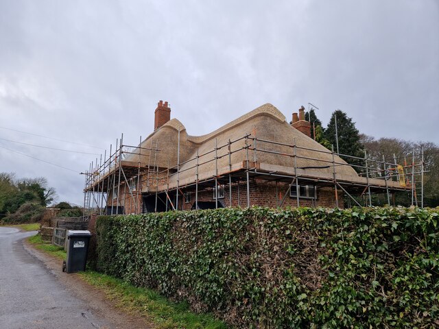
The hill's name, Folly Hill, derives from the presence of a folly structure that was built on its summit in the 19th century. Though the folly itself no longer stands, its remnants can still be seen, adding to the hill's historical charm.
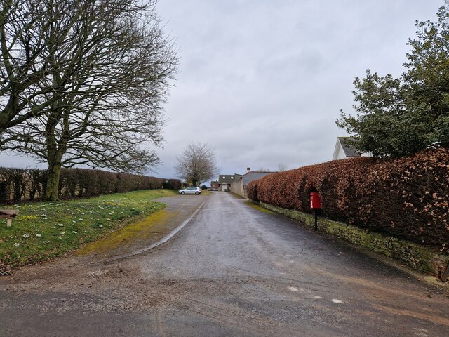
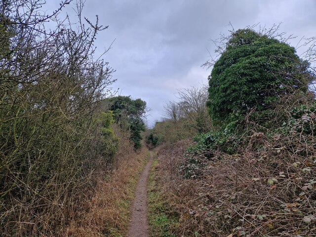
The summit of Folly Hill offers panoramic views of the surrounding area. On a clear day, visitors can see as far as the Isle of Wight and the South Downs, providing a breathtaking vista. Many visitors choose to hike or cycle to the top of the hill, following well-marked trails that traverse the rolling countryside.
Overall, Folly Hill, Hampshire, is a cherished natural landmark that attracts nature enthusiasts, hikers, and those seeking a tranquil escape. Its beauty, diversity, and historical significance make it a must-visit destination for both locals and tourists alike.
If you have any feedback on the listing, please let us know in the comments section below.
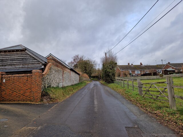
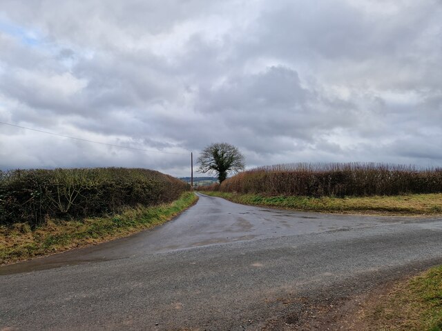
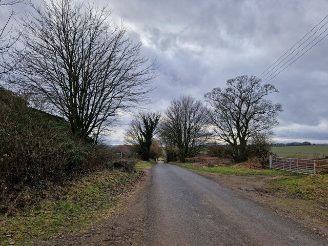
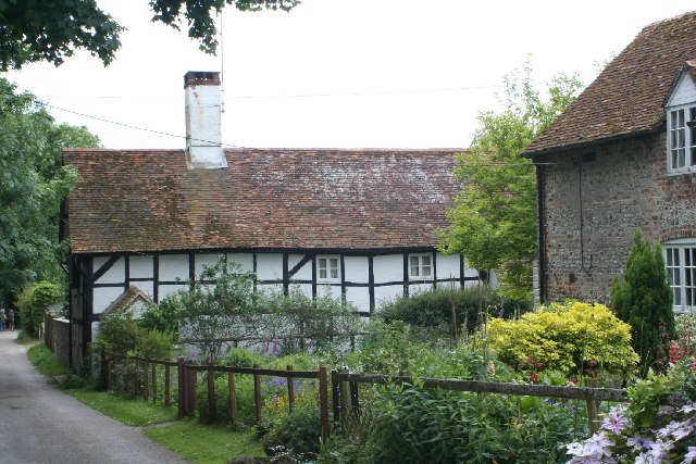
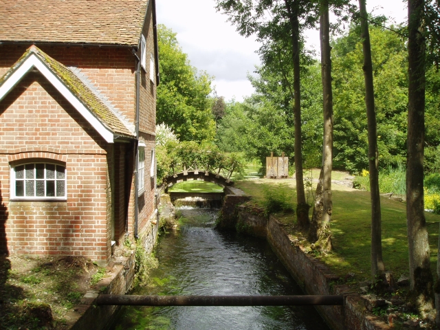
Folly Hill Images
Images are sourced within 2km of 51.102705/-1.2061756 or Grid Reference SU5534. Thanks to Geograph Open Source API. All images are credited.

Folly Hill is located at Grid Ref: SU5534 (Lat: 51.102705, Lng: -1.2061756)
Administrative County: Hampshire
District: Winchester
Police Authority: Hampshire
What 3 Words
///delusions.enigma.surfacing. Near New Alresford, Hampshire
Nearby Locations
Related Wikis

Fobdown
Fobdown is a hamlet in Hampshire, England. It lies 2 miles (3.2 km) north-west from New Alresford. It is in the civil parish of Old Alresford.
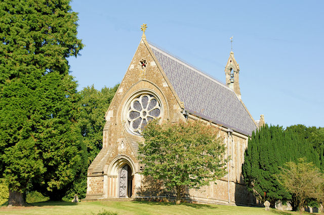
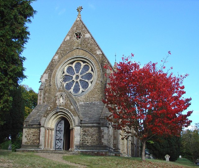
St Mary's Church, Itchen Stoke
St Mary, Itchen Stoke, Hampshire, is a redundant Anglican church in the parish of Itchen Stoke and Ovington. It has been designated by English Heritage...

Itchen Stoke and Ovington
Itchen Stoke and Ovington () is an English civil parish consisting of two adjoining villages in Hampshire, England, 2 miles (3.2 km) west of Alresford...
Capital South Coast
Capital South Coast was a regional radio station owned by operated by Global Radio as part of the Capital radio network. It broadcast to Hampshire from...
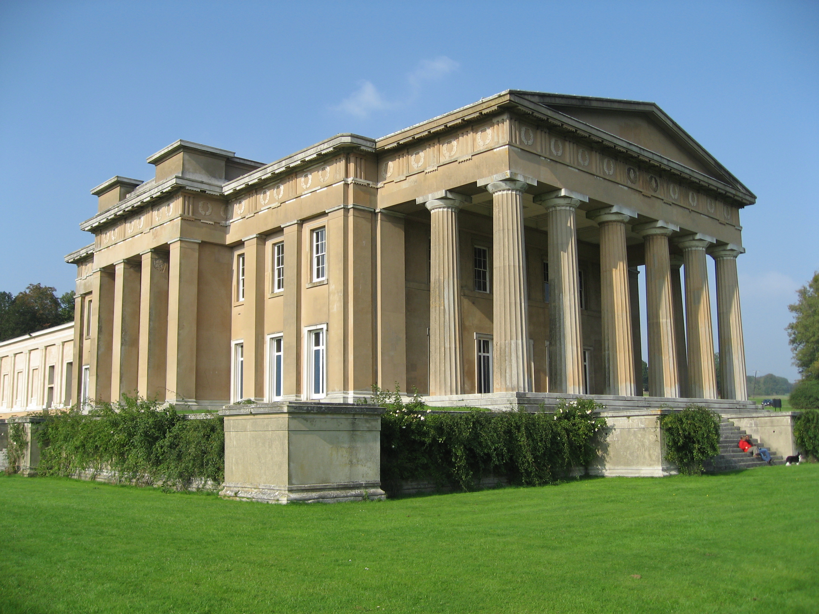
The Grange, Northington
The Grange is a 19th-century country house-mansion and English landscape park near Northington in Hampshire, England. It is currently owned by the Baring...
River Alre
The River Alre (also, occasionally, Arle) is a tributary of the River Itchen in Hampshire in the south of England. It rises in Bishop's Sutton and flows...
Itchen Abbas
Itchen Abbas is a village and former civil parish, now in the parish of Itchen Valley, in the Winchester district, in the county of Hampshire, England...
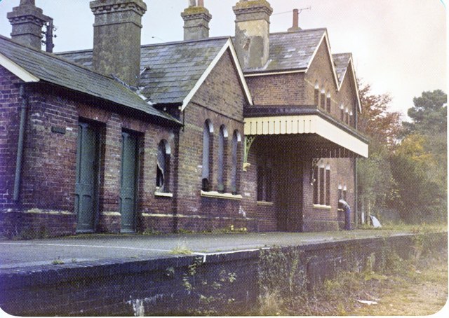
Itchen Abbas railway station
The Itchen Abbas railway station was in the county of Hampshire in England and opened on 2 October 1865 by the Mid-Hants Railway. It closed on 5 February...
Nearby Amenities
Located within 500m of 51.102705,-1.2061756Have you been to Folly Hill?
Leave your review of Folly Hill below (or comments, questions and feedback).