Moor Monkton Moor
Downs, Moorland in Yorkshire Harrogate
England
Moor Monkton Moor
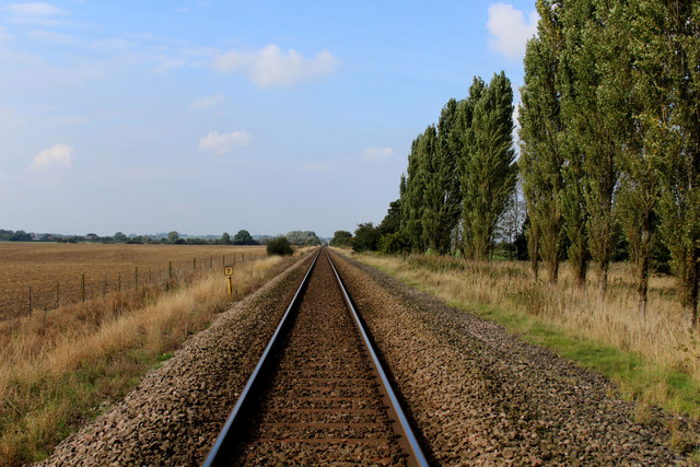
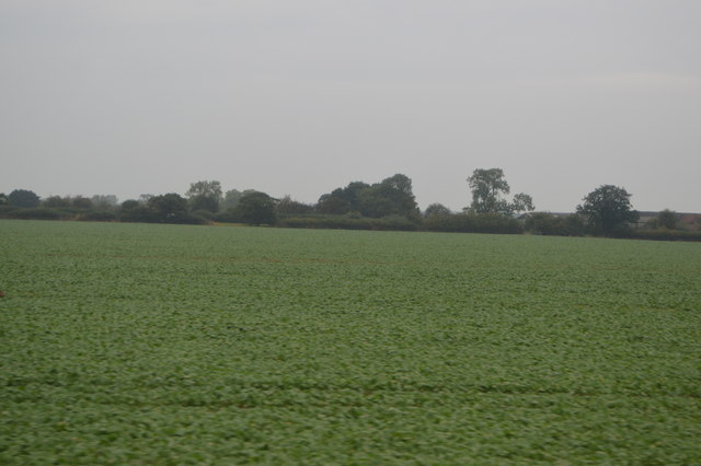
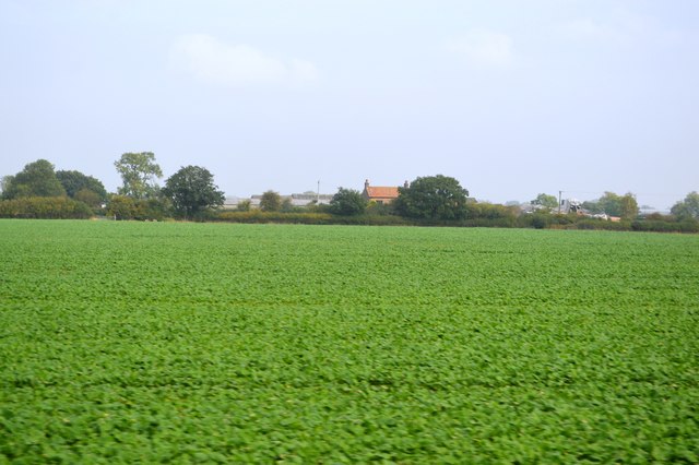
Moor Monkton Moor is a vast expanse of moorland situated in the county of Yorkshire, England. Covering an area of approximately 3,500 acres, it is a captivating landscape renowned for its natural beauty and diverse ecosystem. Nestled between the River Nidd and the River Ouse, the moorland is part of the larger Nidderdale Area of Outstanding Natural Beauty.
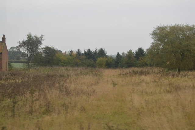
The moorland is characterized by its undulating terrain, consisting of heather-clad hills, valleys, and patches of dense woodland. The area is predominantly made up of acidic peat soils, which, combined with the cool and wet climate, create ideal conditions for the growth of heather and other moorland plants.
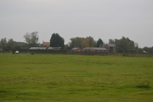
Moor Monkton Moor is home to a wide range of flora and fauna. The heather-dominated landscape provides a habitat for various bird species, including red grouse, skylarks, and meadow pipits. Additionally, the moorland is frequented by mammals such as brown hares, stoats, and roe deer. Numerous streams and wetlands dot the landscape, attracting a variety of aquatic species, including dragonflies, frogs, and newts.
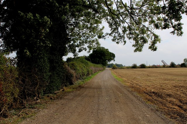
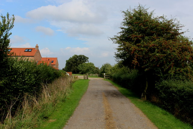
The area is popular among nature enthusiasts, hikers, and birdwatchers who can explore the numerous walking trails and footpaths that traverse the moorland. The moor also offers stunning panoramic views of the surrounding countryside, including the nearby Nidderdale Valley.
Moor Monkton Moor is not only a site of environmental significance but also holds historical importance. Traces of ancient settlements and burial mounds can be found, suggesting human habitation in the area dating back thousands of years.
Overall, Moor Monkton Moor is a captivating and biodiverse landscape, offering visitors a chance to immerse themselves in the natural wonders of Yorkshire's moorland.
If you have any feedback on the listing, please let us know in the comments section below.
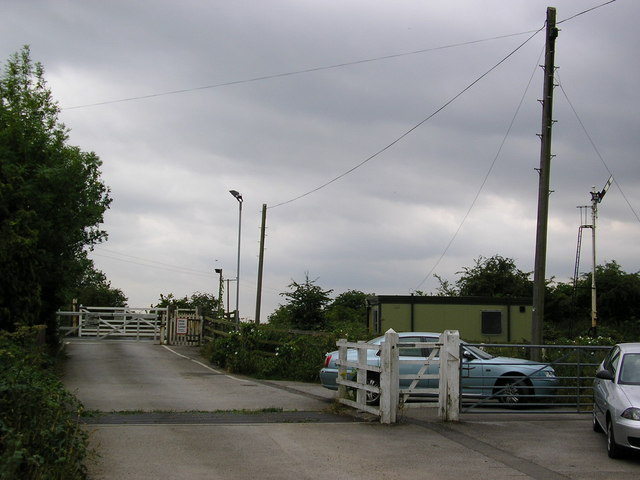
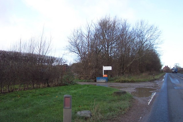
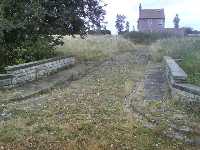
Moor Monkton Moor Images
Images are sourced within 2km of 53.992017/-1.2251875 or Grid Reference SE5055. Thanks to Geograph Open Source API. All images are credited.
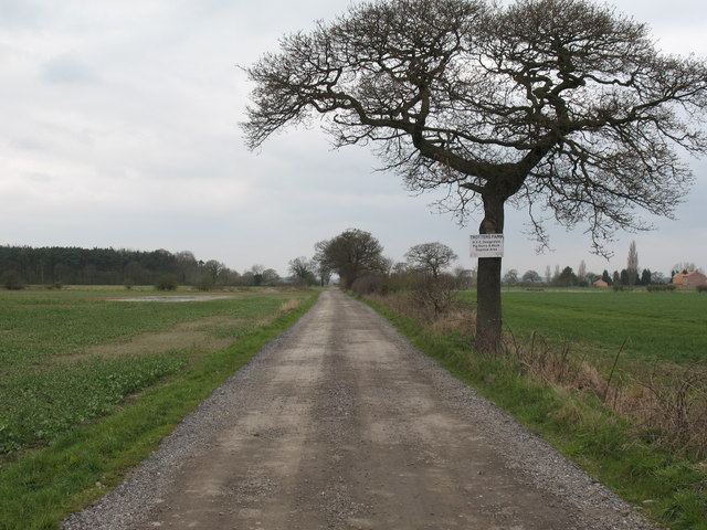
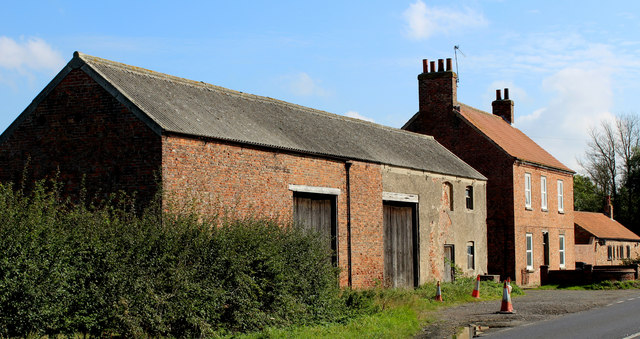
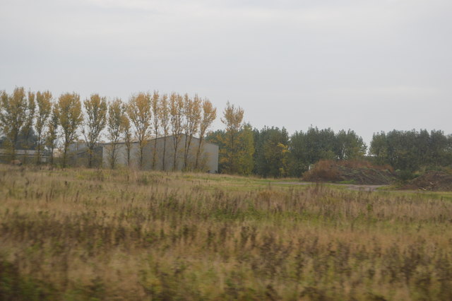
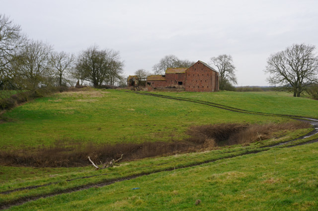
![Wilstrop Lodge Farm The title of 'farm' no longer applies as the run down buildings have been rebuilt and added to, and are now for sale as 'desirable country residences and barn conversions'. However, potential buyers might be put off by the sign on the approach road [see other photo in this square].](https://s2.geograph.org.uk/photos/76/99/769962_26cbed0c.jpg)
Moor Monkton Moor is located at Grid Ref: SE5055 (Lat: 53.992017, Lng: -1.2251875)
Division: West Riding
Administrative County: North Yorkshire
District: Harrogate
Police Authority: North Yorkshire
What 3 Words
///runner.raves.winemaker. Near Nether Poppleton, North Yorkshire
Nearby Locations
Related Wikis

All Saints' Church, Moor Monkton
All Saints' Church is the parish church of Moor Monkton, a village north-west of York in England. The church dates from the 12th century, when the nave...

Marston Moor railway station
Marston Moor railway station served the village of Long Marston, North Yorkshire, England from 1848 to 1967 on the Harrogate line. == History == The station...

Moor Monkton
Moor Monkton is a village and civil parish in the former Harrogate District of North Yorkshire, England. It is situated on the River Nidd and 7 miles...

Wilstrop Siding railway station
Wilstrop railway station served Wilstrop and Skipbridge, North Yorkshire, England from 1865 to 1964 on the Harrogate line. == History == The station opened...

Wilstrop
Wilstrop is a civil parish about 8 miles (13 km) west of York, in the Harrogate district, in the county of North Yorkshire, England. In 2001 the parish...

Hessay railway station
Hessay railway station served the village of Hessay, North Yorkshire, England from 1849 to 1964 on the Harrogate line. == History == The station opened...

Nun Monkton
Nun Monkton is a village and civil parish in the Harrogate district of North Yorkshire, England. It is situated 8 miles (13 km) northwest of York at the...

River Nidd
The River Nidd is a tributary of the River Ouse in the English county of North Yorkshire. In its first few miles it is dammed three times to create Angram...
Nearby Amenities
Located within 500m of 53.992017,-1.2251875Have you been to Moor Monkton Moor?
Leave your review of Moor Monkton Moor below (or comments, questions and feedback).