Smeaton Pasture
Downs, Moorland in Yorkshire Selby
England
Smeaton Pasture
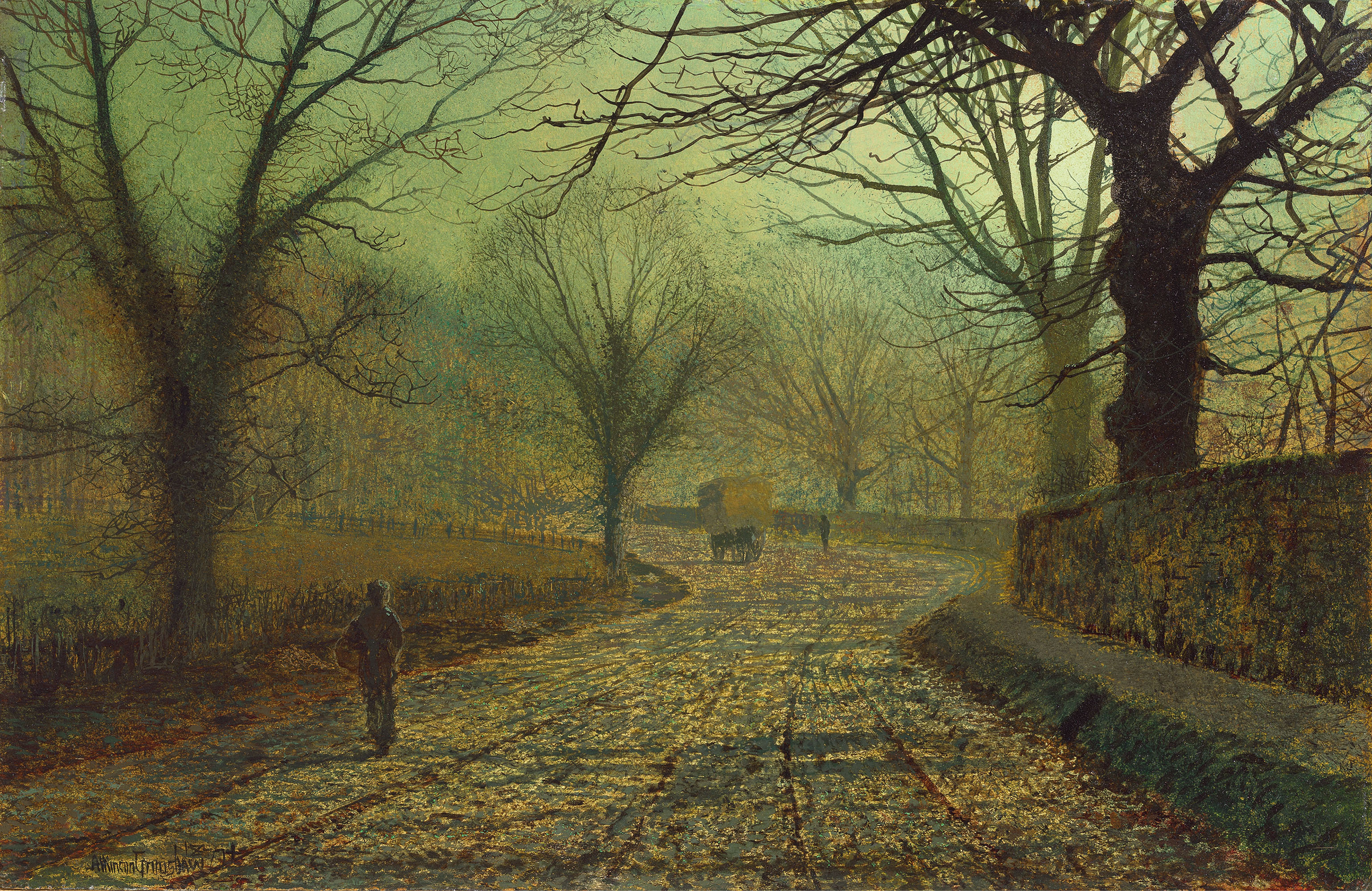
Smeaton Pasture is a picturesque area located in Yorkshire, England, known for its stunning landscapes and diverse natural features. Situated in the heart of the Yorkshire Downs, the pasture encompasses vast expanses of rolling hills, moorland, and verdant meadows. It is a haven for nature enthusiasts, offering breathtaking views at every turn.
The Yorkshire Downs, which form the backdrop of Smeaton Pasture, are characterized by their undulating hills and fertile valleys. The area is renowned for its rich agricultural heritage, with farming being a predominant activity in the region. Visitors to Smeaton Pasture can witness the idyllic countryside, dotted with grazing livestock and charming farmhouses.
Moorland, a distinct feature of the area, adds to the allure of Smeaton Pasture. It is characterized by wide expanses of heather-covered hills and peat bogs. These moorlands provide a unique habitat for various plant and animal species, including grouse, curlews, and bilberry bushes. The vibrant purple hues of the heather in bloom are a sight to behold and attract photographers and nature enthusiasts from far and wide.
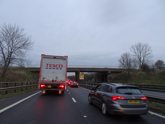
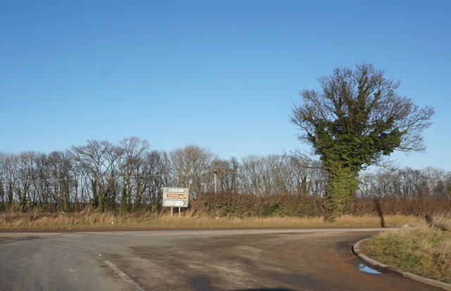
Smeaton Pasture offers numerous recreational opportunities for outdoor enthusiasts. Hiking and walking trails crisscross the area, allowing visitors to explore the diverse landscapes and enjoy panoramic views. The Yorkshire Downs also provide ample opportunities for birdwatching, mountain biking, and horseback riding.
With its breathtaking vistas, diverse natural features, and abundant recreational activities, Smeaton Pasture is a must-visit destination for those seeking to immerse themselves in the beauty of Yorkshire's countryside.
If you have any feedback on the listing, please let us know in the comments section below.
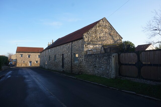
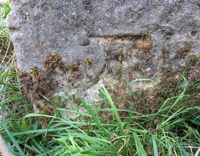
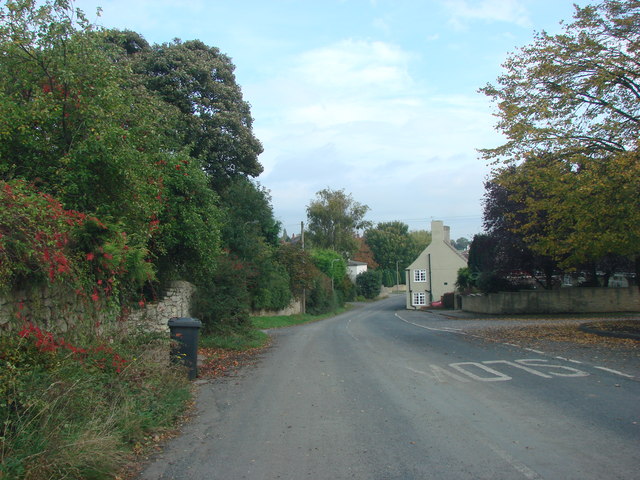
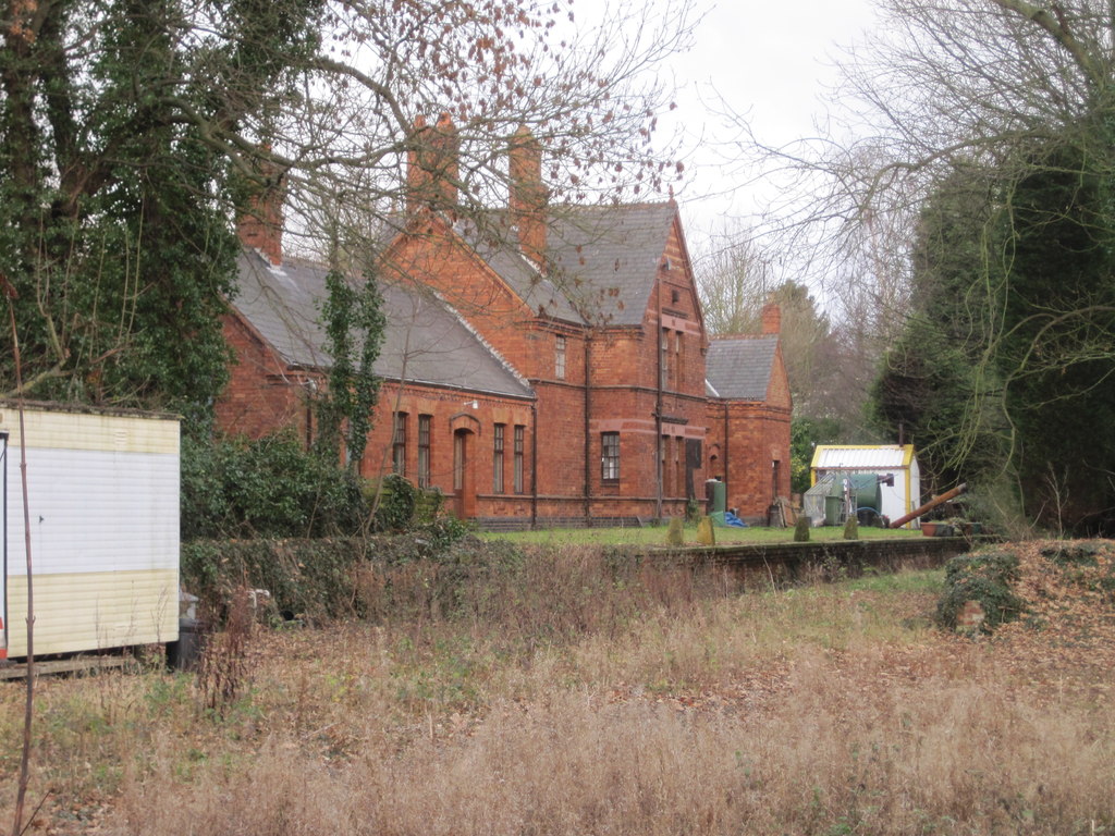
Smeaton Pasture Images
Images are sourced within 2km of 53.64738/-1.2315777 or Grid Reference SE5017. Thanks to Geograph Open Source API. All images are credited.


Smeaton Pasture is located at Grid Ref: SE5017 (Lat: 53.64738, Lng: -1.2315777)
Division: West Riding
Administrative County: North Yorkshire
District: Selby
Police Authority: North Yorkshire
What 3 Words
///older.treatment.basically. Near Norton, South Yorkshire
Nearby Locations
Related Wikis

Kirk Smeaton
Kirk Smeaton is a village and civil parish in North Yorkshire, England. It is located at the southern end of the county, close to South Yorkshire and East...

Wentbridge Viaduct
Wentbridge Viaduct is a road bridge in West Yorkshire, England. The viaduct carries four lanes of the A1 road over the small valley of the River Went at...
Little Smeaton, Selby
Little Smeaton is a village and civil parish in North Yorkshire, England. The population of the parish at the 2011 Census was 283. It is next to Kirk Smeaton...

Wentbridge
Wentbridge is a small village in the City of Wakefield district of West Yorkshire, England. It lies around 3 miles (5 km) southeast of its nearest town...

Wentbridge House Hotel
Wentbridge House Hotel near Pontefract, West Yorkshire, England, is an historical house of significance. It dates from 1700 and is built in the Georgian...
Kirk Smeaton railway station
Kirk Smeaton railway station is located on the east side of Willowbridge Road in Little Smeaton, North Yorkshire, England. It opened on 22 July 1885, two...

Darrington, West Yorkshire
Darrington is a small village and civil parish in the City of Wakefield in West Yorkshire, England, 3 miles (4.8 km) from Pontefract and 25 miles (40 km...
Stapleton, Selby
Stapleton is a village in the Selby district of North Yorkshire, England. The population taken at the 2011 Census was less than 100. Details are included...
Nearby Amenities
Located within 500m of 53.64738,-1.2315777Have you been to Smeaton Pasture?
Leave your review of Smeaton Pasture below (or comments, questions and feedback).