Binsey Green
Downs, Moorland in Oxfordshire Oxford
England
Binsey Green
Binsey Green is a picturesque village located in the county of Oxfordshire, England. Situated amidst the tranquil countryside, it is renowned for its stunning views of the Downs and Moorland. The village is nestled at the foot of the Binsey Hill, which stands proudly as the highest peak in the area.
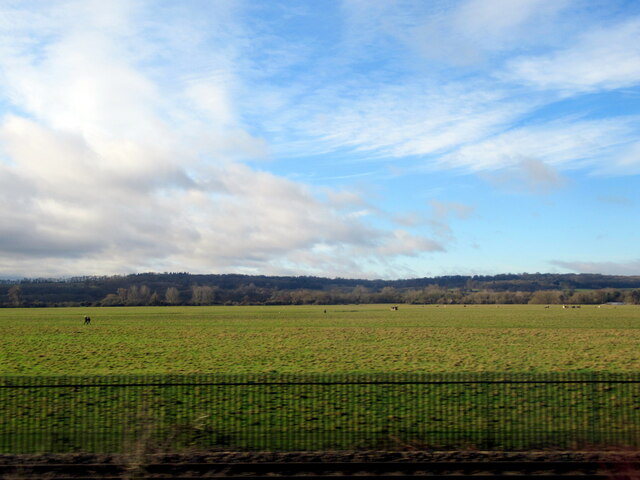
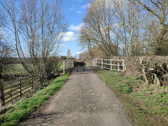
The natural beauty of Binsey Green is a major draw for nature enthusiasts and hikers. The Downs offer sweeping vistas of rolling hills, lush green meadows, and vibrant wildflowers, creating a serene and idyllic atmosphere. The Moorland, characterized by its vast expanse of open space and heath, provides a unique habitat for a variety of flora and fauna.
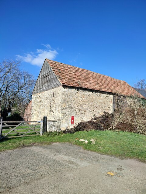
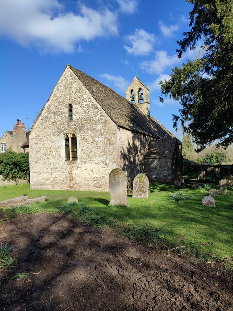
In addition to its natural splendor, Binsey Green is also home to a close-knit community. The village is dotted with charming cottages and quaint houses, exuding a traditional English countryside charm. The locals are known for their warm hospitality and strong sense of community spirit.
While Binsey Green is predominantly a rural village, it is conveniently located just a short drive away from the bustling city of Oxford. This proximity allows residents and visitors to enjoy the best of both worlds, with easy access to modern amenities, cultural attractions, and educational institutions.
Overall, Binsey Green is a haven for those seeking a peaceful and picturesque setting. With its breathtaking landscapes, friendly community, and convenient location, it offers a delightful escape from the hustle and bustle of city life.
If you have any feedback on the listing, please let us know in the comments section below.
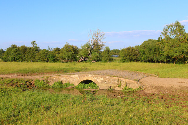
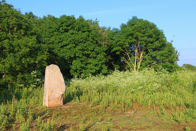
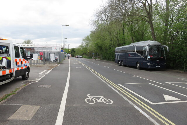
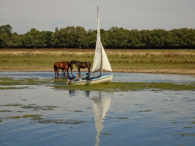
Binsey Green Images
Images are sourced within 2km of 51.765936/-1.2844728 or Grid Reference SP4907. Thanks to Geograph Open Source API. All images are credited.


Binsey Green is located at Grid Ref: SP4907 (Lat: 51.765936, Lng: -1.2844728)
Administrative County: Oxfordshire
District: Oxford
Police Authority: Thames Valley
What 3 Words
///dart.score.club. Near Wolvercote, Oxfordshire
Nearby Locations
Related Wikis
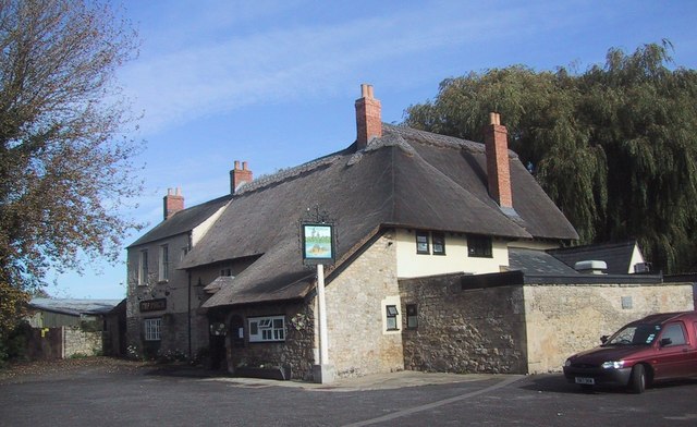
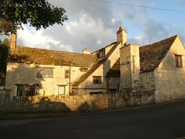
The Perch, Binsey
The Perch is a historic public house in the village of Binsey, Oxfordshire, England, northwest of Oxford and close to the River Thames, overlooking Port...

Bossoms Boatyard
Bossoms Boatyard is located opposite Port Meadow, Oxford, England, on the bank of the River Thames. == History == The yard was managed by the Bossom family...

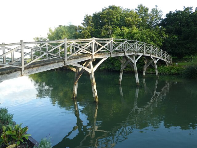
Medley Footbridge
Medley Footbridge is a pedestrian bridge across the River Thames near the village of Binsey in Oxford, England. It is also known as Rainbow Bridge, although...

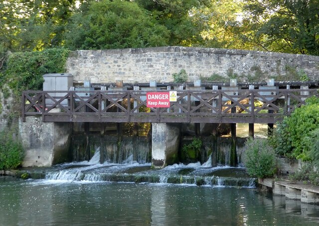
Fiddler's Island
Fiddler's Island is an island in the River Thames at Oxford in England. It is situated south of Port Meadow on the reach above Osney Lock. The north part...

Port Meadow, Oxford
Port Meadow is a large meadow of open common land beside the River Thames to the north and west of Oxford, England. == Overview == The meadow is an ancient...

Port Meadow Halt railway station
Port Meadow Halt was a railway station on the Varsity Line, between north Oxford and Port Meadow. The London & North Western Railway opened the halt as...

Binsey, Oxfordshire
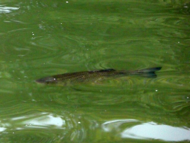
Binsey is a small village on the west side of Oxford, in Oxfordshire, England. It lies on the banks of the River Thames about 1.5 miles (2.4 km) northwest...

Port Meadow with Wolvercote Common and Green
Port Meadow with Wolvercote Common and Green is a 167.1-hectare (413-acre) biological Site of Special Scientific Interest in Oxford in Oxfordshire. It...
Nearby Amenities
Located within 500m of 51.765936,-1.2844728Have you been to Binsey Green?
Leave your review of Binsey Green below (or comments, questions and feedback).