Binsey
Settlement in Oxfordshire Oxford
England
Binsey
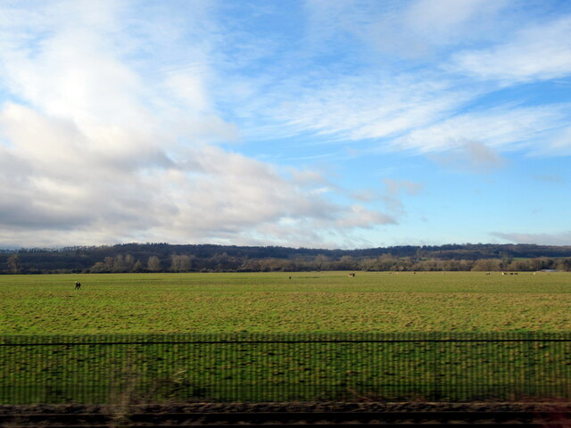
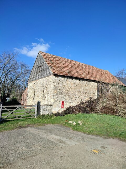
Binsey is a small village located in the district of Oxfordshire, England. Situated approximately 2 miles northwest of the city of Oxford, Binsey is a rural settlement with a population of around 200 residents. The village is nestled in the beautiful countryside and is known for its idyllic setting and historic charm.
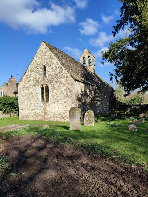
One of the main attractions in Binsey is the Church of St. Margaret, a 12th-century Norman church that holds great historical significance. The church is famous for its ancient yew tree, believed to be over 1,000 years old, and is a popular spot for visitors and pilgrims alike.
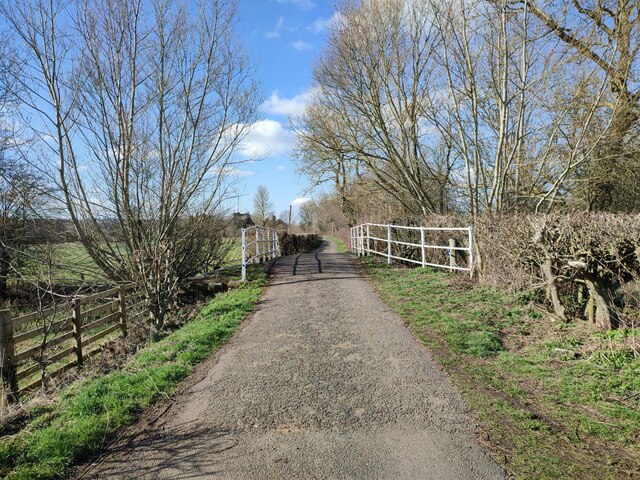
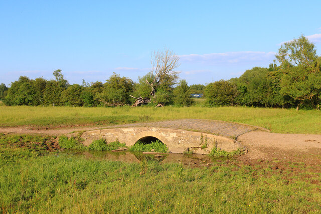
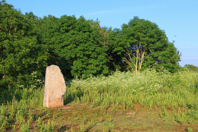
The village is surrounded by picturesque landscapes, including Binsey Lane, a tranquil road lined with traditional cottages and stunning views of the countryside. The area also offers opportunities for outdoor activities, such as walking and cycling, with numerous footpaths and trails scattered throughout the region.
Binsey is closely associated with the renowned English poet Gerard Manley Hopkins, who wrote his famous poem "Binsey Poplars" in response to the felling of poplar trees in the village. The poem captures the beauty and tranquility of the area and has added to Binsey's literary significance.
Despite its small size, Binsey has a strong sense of community and hosts various events throughout the year, including village fairs and festivals. The village is well-connected to nearby towns and cities, with regular bus services and easy access to the Oxford railway station.
Overall, Binsey is a charming and peaceful village, offering a glimpse into rural Oxfordshire's beauty and heritage.
If you have any feedback on the listing, please let us know in the comments section below.
Binsey Images
Images are sourced within 2km of 51.765771/-1.287012 or Grid Reference SP4907. Thanks to Geograph Open Source API. All images are credited.


Binsey is located at Grid Ref: SP4907 (Lat: 51.765771, Lng: -1.287012)
Administrative County: Oxfordshire
District: Oxford
Police Authority: Thames Valley
What 3 Words
///loser.froze.rare. Near Wolvercote, Oxfordshire
Nearby Locations
Related Wikis
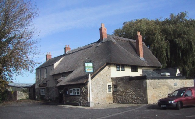
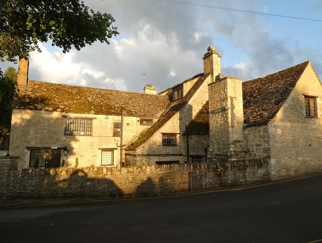
The Perch, Binsey
The Perch is a historic public house in the village of Binsey, Oxfordshire, England, northwest of Oxford and close to the River Thames, overlooking Port...

Bossoms Boatyard
Bossoms Boatyard is located opposite Port Meadow, Oxford, England, on the bank of the River Thames. == History == The yard was managed by the Bossom family...

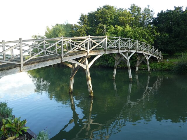
Medley Footbridge
Medley Footbridge is a pedestrian bridge across the River Thames near the village of Binsey in Oxford, England. It is also known as Rainbow Bridge, although...

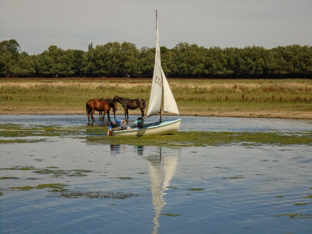
Port Meadow, Oxford
Port Meadow is a large meadow of open common land beside the River Thames to the north and west of Oxford, England. == Overview == The meadow is an ancient...

Fiddler's Island
Fiddler's Island is an island in the River Thames at Oxford in England. It is situated south of Port Meadow on the reach above Osney Lock. The north part...

Binsey, Oxfordshire
Binsey is a small village on the west side of Oxford, in Oxfordshire, England. It lies on the banks of the River Thames about 1.5 miles (2.4 km) northwest...

Port Meadow with Wolvercote Common and Green
Port Meadow with Wolvercote Common and Green is a 167.1-hectare (413-acre) biological Site of Special Scientific Interest in Oxford in Oxfordshire. It...

Port Meadow Halt railway station
Port Meadow Halt was a railway station on the Varsity Line, between north Oxford and Port Meadow. The London & North Western Railway opened the halt as...
Nearby Amenities
Located within 500m of 51.765771,-1.287012Have you been to Binsey?
Leave your review of Binsey below (or comments, questions and feedback).