Fiddler's Island
Island in Oxfordshire Oxford
England
Fiddler's Island
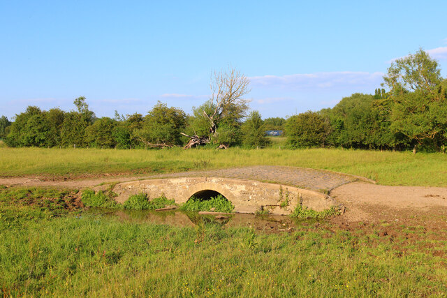
Fiddler's Island is a small, picturesque island located in the county of Oxfordshire, England. Situated in the River Thames, near the town of Abingdon, the island is a popular destination for nature enthusiasts and those seeking a tranquil escape from the bustle of everyday life.
The island gets its name from a local legend that claims a fiddler once lived on the island, entertaining passing boats with his music. Fiddler's Island is accessible by boat or footbridge and offers visitors a unique opportunity to explore its natural beauty. The island is mostly covered by lush greenery, with trees lining its perimeter and a variety of wildflowers dotting the landscape.
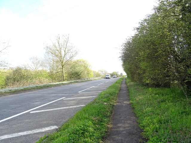
Visitors to Fiddler's Island can enjoy scenic walks along its footpaths, which offer stunning views of the surrounding river and countryside. The island is also home to a diverse range of bird species, making it a popular spot for birdwatching. Ducks, swans, and herons are frequently spotted on the riverbanks, adding to the island's serene atmosphere.
While Fiddler's Island is primarily a nature reserve, it also features a small picnic area, making it an ideal spot for a leisurely lunch or a peaceful afternoon by the river. The island's peaceful ambiance and natural beauty make it a hidden gem in Oxfordshire, offering a tranquil retreat for visitors to enjoy.
If you have any feedback on the listing, please let us know in the comments section below.
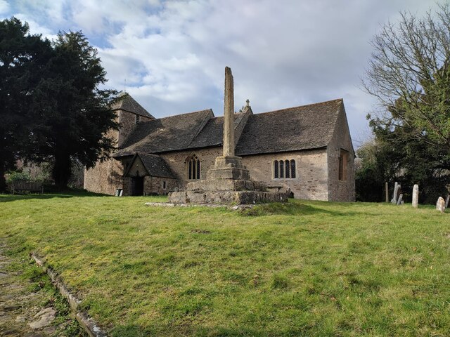
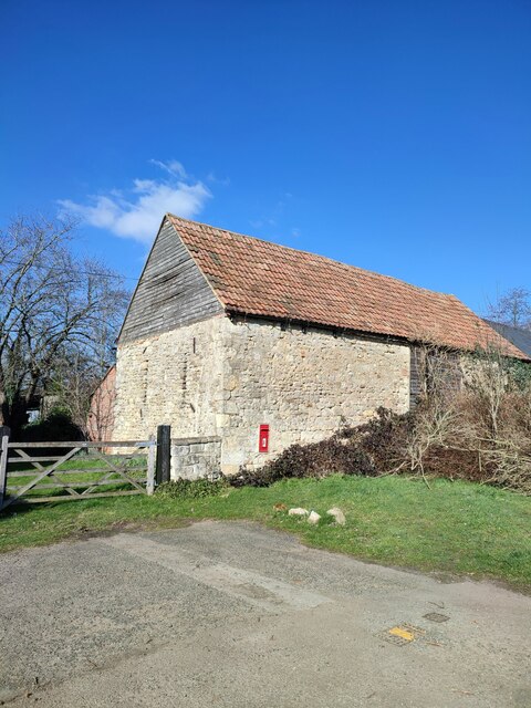
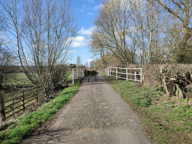
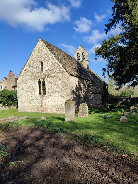
Fiddler's Island Images
Images are sourced within 2km of 51.760703/-1.2771225 or Grid Reference SP4907. Thanks to Geograph Open Source API. All images are credited.


Fiddler's Island is located at Grid Ref: SP4907 (Lat: 51.760703, Lng: -1.2771225)
Administrative County: Oxfordshire
District: Oxford
Police Authority: Thames Valley
What 3 Words
///olive.plug.things. Near Oxford, Oxfordshire
Nearby Locations
Related Wikis
Cripley Meadow
Cripley Meadow lies between the Castle Mill Stream, a backwater of the River Thames, and the Cotswold Line railway to the east, and Fiddler's Island, on...

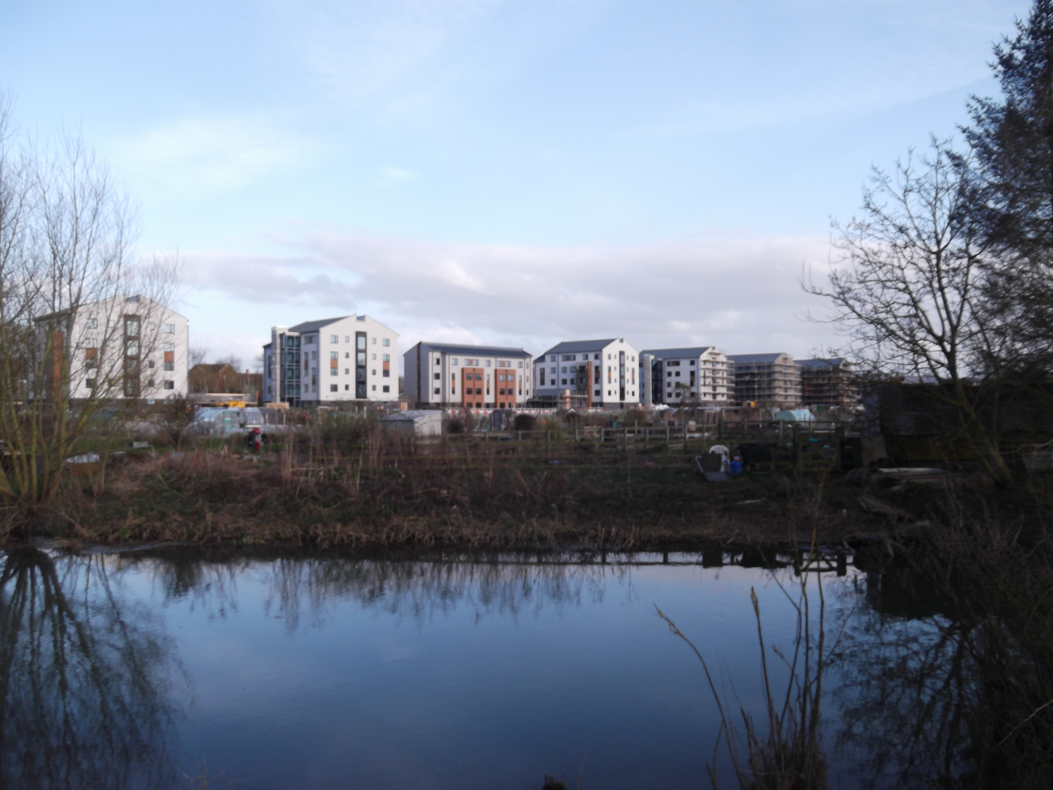
Castle Mill
Castle Mill is a graduate housing complex of the University of Oxford in Oxford, England. == Overview == Castle Mill is located north of Oxford railway...

Fiddler's Island
Fiddler's Island is an island in the River Thames at Oxford in England. It is situated south of Port Meadow on the reach above Osney Lock. The north part...
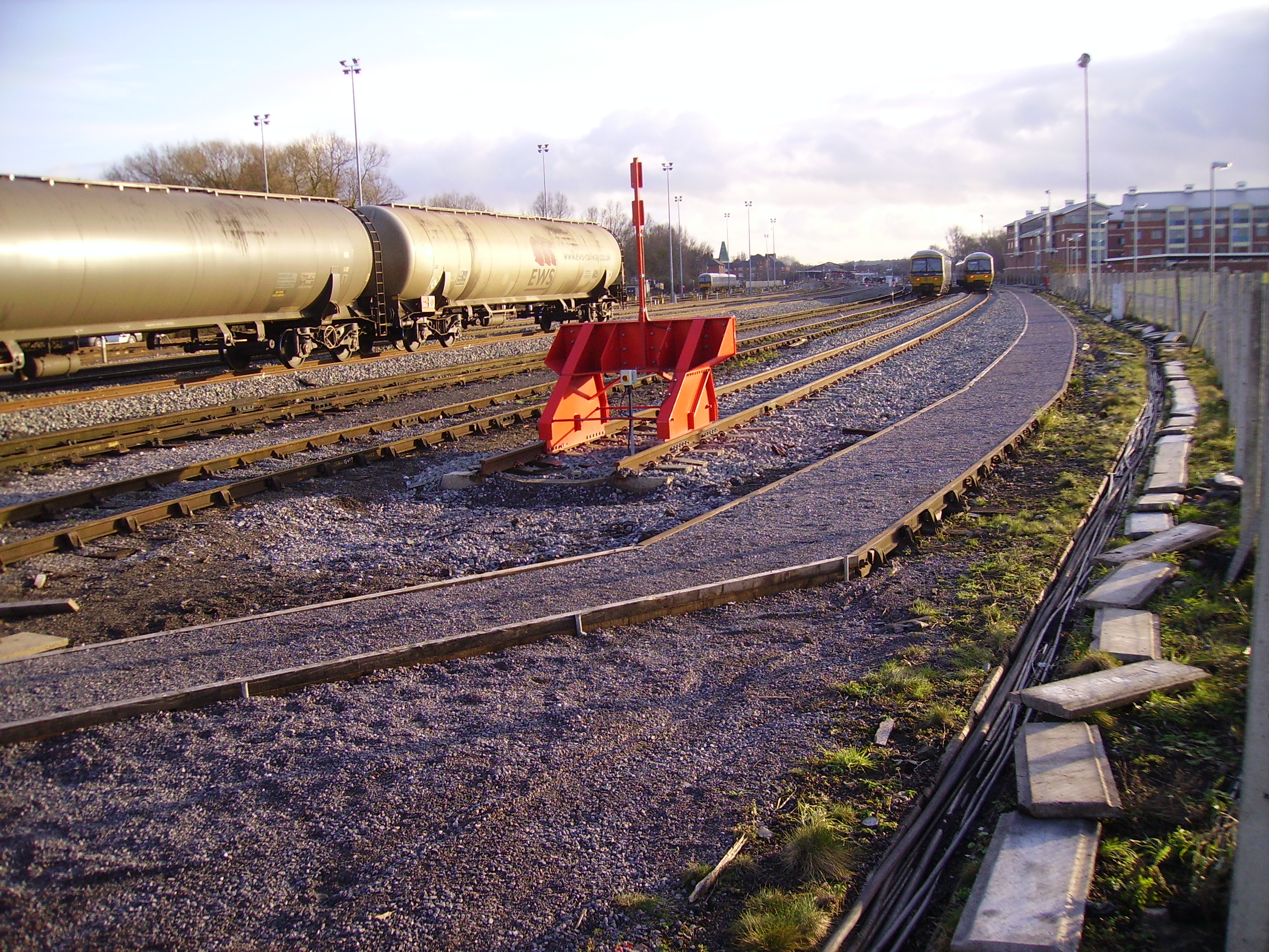
Oxford Down Carriage Sidings
Oxford Down Carriage Sidings are located in Oxford, Oxfordshire, England, just north of Oxford station. == Location == The sidings are located next to...

Medley Footbridge
Medley Footbridge is a pedestrian bridge across the River Thames near the village of Binsey in Oxford, England. It is also known as Rainbow Bridge, although...

Bossoms Boatyard
Bossoms Boatyard is located opposite Port Meadow, Oxford, England, on the bank of the River Thames. == History == The yard was managed by the Bossom family...

Eagle Ironworks, Oxford
The Eagle Ironworks was an ironworks owned by W. Lucy & Co. on the Oxford Canal in Jericho, Oxford, England. William Carter founded the works in 1812 with...
Walton Well Road
Walton Well Road is a road, about 400 metres (a quarter mile) long, near the centre of Oxford, England. It provides a link from central Oxford to Port...
Nearby Amenities
Located within 500m of 51.760703,-1.2771225Have you been to Fiddler's Island?
Leave your review of Fiddler's Island below (or comments, questions and feedback).