South Park
Downs, Moorland in Leicestershire Blaby
England
South Park
South Park, Leicestershire is a picturesque and captivating area located in the heart of England. Situated amidst the rolling hills and serene countryside, it encompasses both downs and moorland, offering diverse natural landscapes and breathtaking views.
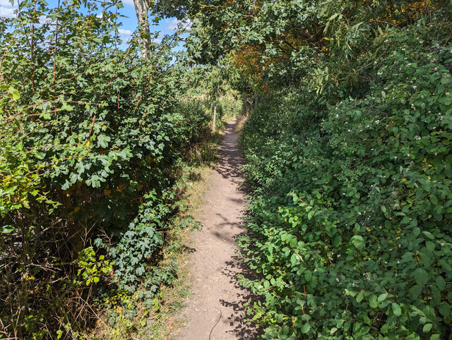
The downs of South Park provide a perfect setting for leisurely walks and outdoor activities. With their gently sloping hills and lush greenery, they are ideal for picnics, kite flying, and even horseback riding. The downs are known for their rich biodiversity, harboring a variety of plant and animal species, making it a haven for nature enthusiasts.
The moorland of South Park presents a distinct contrast to the downs. Characterized by its rugged terrain and open expanses, it offers a unique and untamed beauty. Moorland hikes allow visitors to immerse themselves in the untouched wilderness, surrounded by heather-covered hills and enchanting valleys.
South Park is not only renowned for its natural splendor but also for its historical significance. The area is dotted with ancient landmarks, including burial mounds and remnants of prehistoric settlements, providing a glimpse into the region's rich heritage.
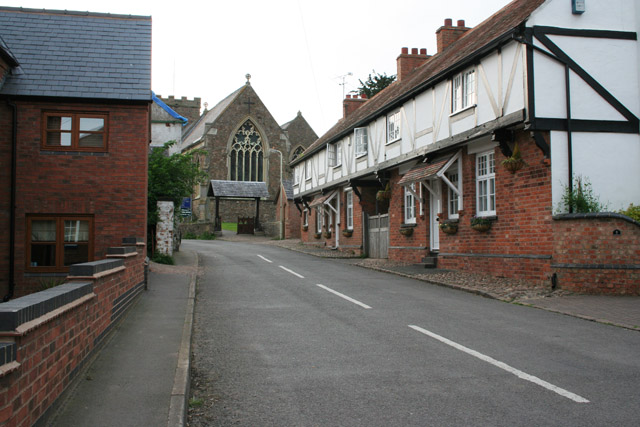
Visitors to South Park can also explore the charming nearby villages, where they can experience the warmth and hospitality of the local community. These villages offer traditional pubs, quaint shops, and cultural events, allowing visitors to immerse themselves in the authentic English countryside lifestyle.
South Park, Leicestershire is a true gem, offering a harmonious blend of natural beauty, historical intrigue, and rural charm. Whether seeking tranquility, adventure, or a deeper connection with nature, this captivating area promises an unforgettable experience for all who venture there.
If you have any feedback on the listing, please let us know in the comments section below.
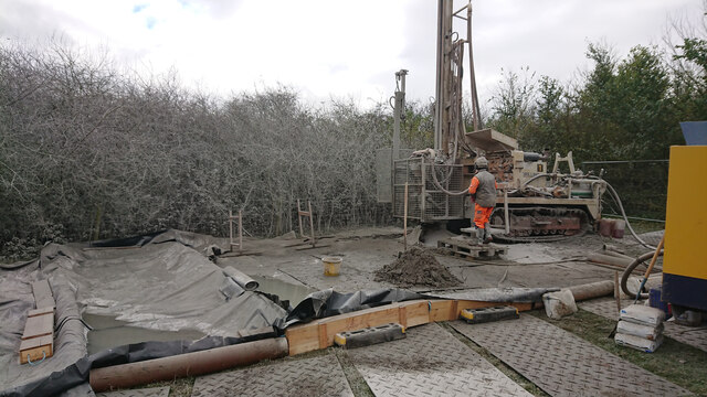
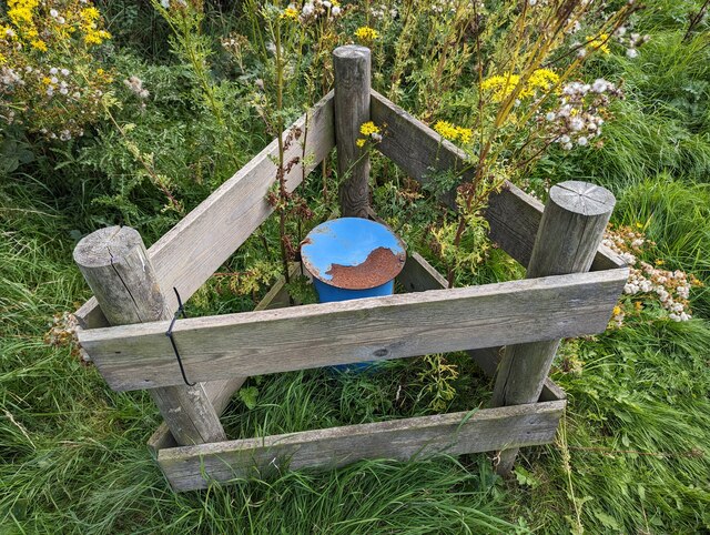
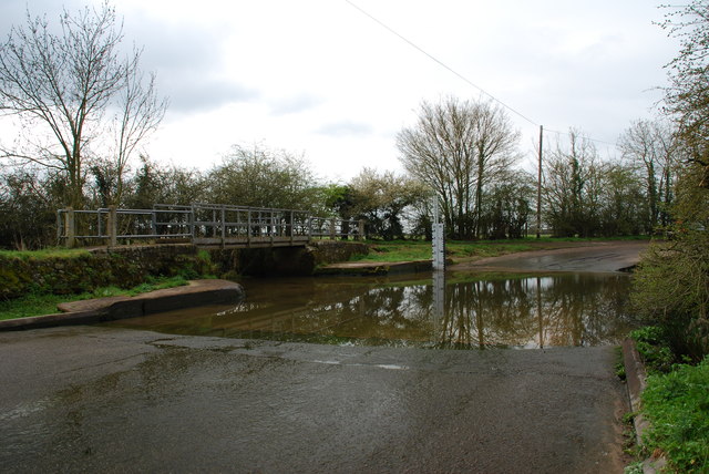
South Park Images
Images are sourced within 2km of 52.577025/-1.2714782 or Grid Reference SP4997. Thanks to Geograph Open Source API. All images are credited.


South Park is located at Grid Ref: SP4997 (Lat: 52.577025, Lng: -1.2714782)
Administrative County: Leicestershire
District: Blaby
Police Authority: Leicestershire
What 3 Words
///stutter.tasty.speeded. Near Croft, Leicestershire
Nearby Locations
Related Wikis
Thurlaston, Leicestershire
Thurlaston is a village and civil parish in Leicestershire, England. It is in the Blaby local government district, just over 6 miles (9.7 km) west of the...

Potters Marston
Potters Marston is a village and civil parish in the district of Blaby in Leicestershire, England. It has a population of around 40, and is roughly between...

Croft Hill
Croft Hill is a 2-hectare (4.9-acre) biological Site of Special Scientific Interest north of Croft in Leicestershire, England.This site has short, tussocky...

Earl Shilton
Earl Shilton is a market town in Leicestershire, England, about 5 miles (8 km) from Hinckley and about 10 mi (16 km) from Leicester. The 2011 Census recorded...
Nearby Amenities
Located within 500m of 52.577025,-1.2714782Have you been to South Park?
Leave your review of South Park below (or comments, questions and feedback).