Bilton Moor
Downs, Moorland in Yorkshire Harrogate
England
Bilton Moor

Bilton Moor is a picturesque area located in the county of Yorkshire, England. Situated amidst the renowned Yorkshire Downs and Moorland, it offers a stunning natural landscape that attracts both locals and tourists alike.
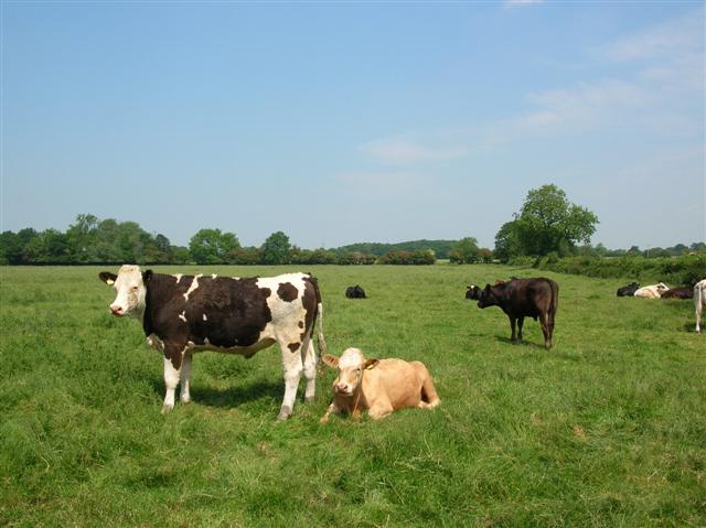
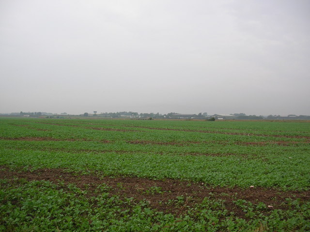
Covering an expansive area, Bilton Moor is characterized by rolling hills, heather-covered moorlands, and lush green meadows. The region boasts a diverse range of flora and fauna, making it a haven for wildlife enthusiasts and nature lovers. Visitors can spot various bird species, including curlews, lapwings, and skylarks, soaring through the skies above.
The moorland is interspersed with ancient stone walls, adding to the area's charm and historical significance. These walls were originally built to divide the land for farming purposes and have stood the test of time, serving as a reminder of the region's agricultural heritage.
Bilton Moor offers numerous walking trails and paths, allowing visitors to explore its natural beauty at their own pace. Hikers can revel in the breathtaking panoramic views of the surrounding countryside from vantage points scattered throughout the area. The tranquil atmosphere and peaceful surroundings make it an ideal place for relaxation and contemplation.
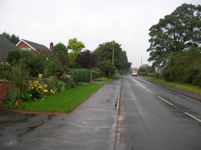
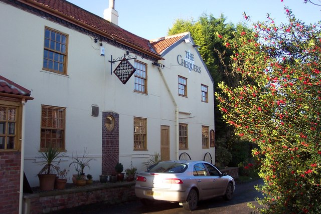
Furthermore, the nearby village of Bilton provides a great base for those looking to explore Bilton Moor. The village offers a range of amenities, including cozy pubs, quaint shops, and traditional tea rooms. Visitors can also learn about the local history at the Bilton Museum, which showcases artifacts and exhibits related to the area's past.
Overall, Bilton Moor in Yorkshire is a place of remarkable beauty, where visitors can immerse themselves in nature, explore the countryside, and experience the rich history of the region.
If you have any feedback on the listing, please let us know in the comments section below.
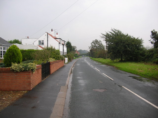
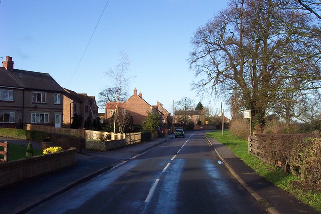
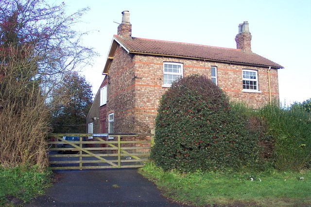
Bilton Moor Images
Images are sourced within 2km of 53.956594/-1.2707709 or Grid Reference SE4751. Thanks to Geograph Open Source API. All images are credited.


Bilton Moor is located at Grid Ref: SE4751 (Lat: 53.956594, Lng: -1.2707709)
Division: West Riding
Administrative County: North Yorkshire
District: Harrogate
Police Authority: North Yorkshire
What 3 Words
///enthused.differ.insisting. Near Walton, West Yorkshire
Nearby Locations
Related Wikis
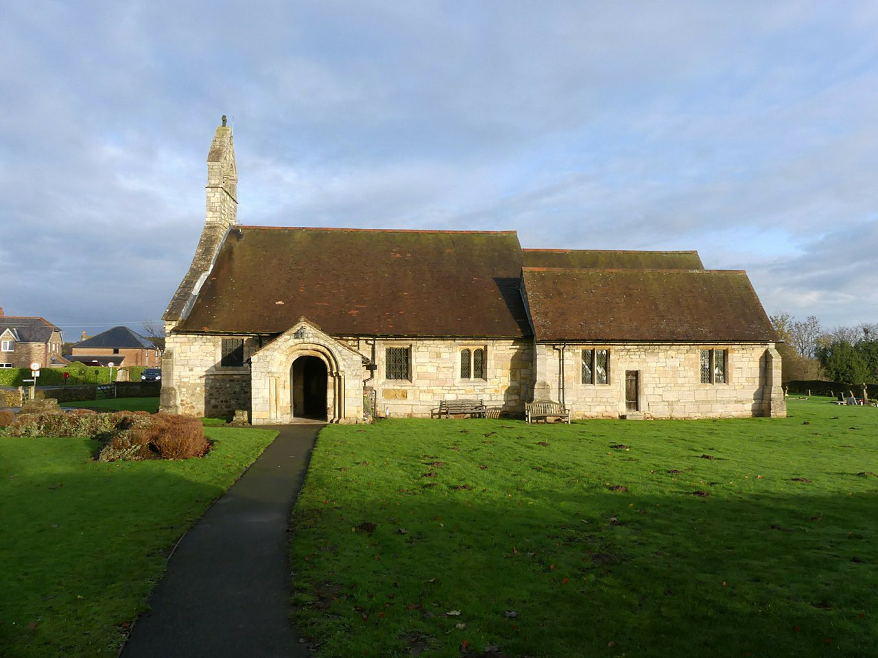
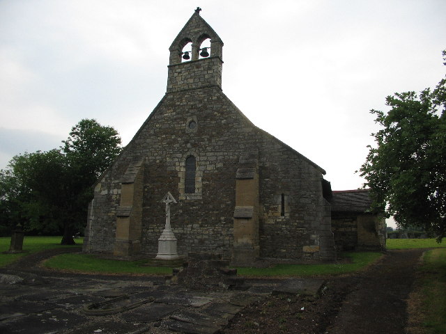
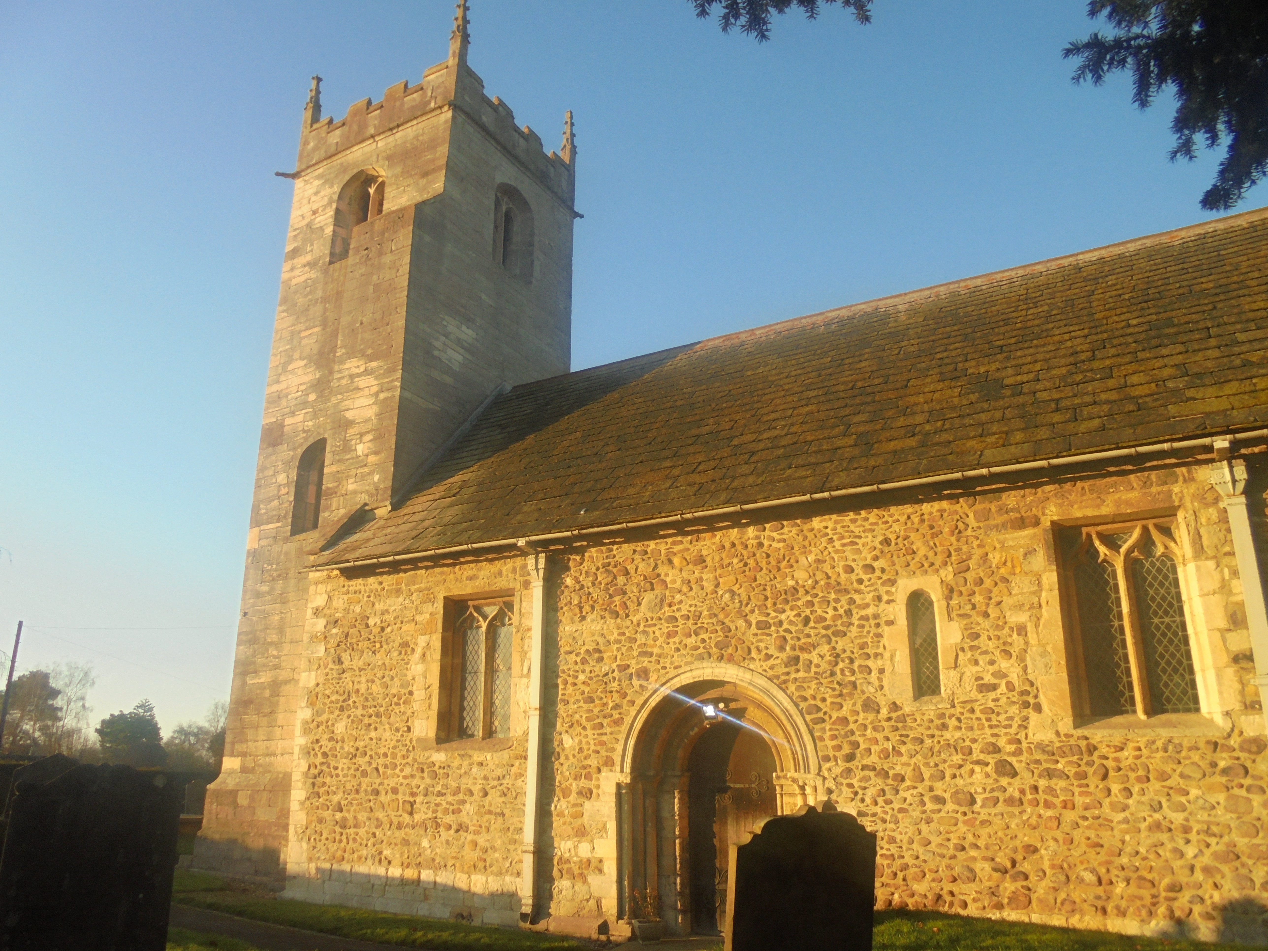
St Helen's Church, Bilton-in-Ainsty
St Helen's Church is the parish church of Bilton-in-Ainsty, a village west of York in North Yorkshire, in England. Although no church in the village is...
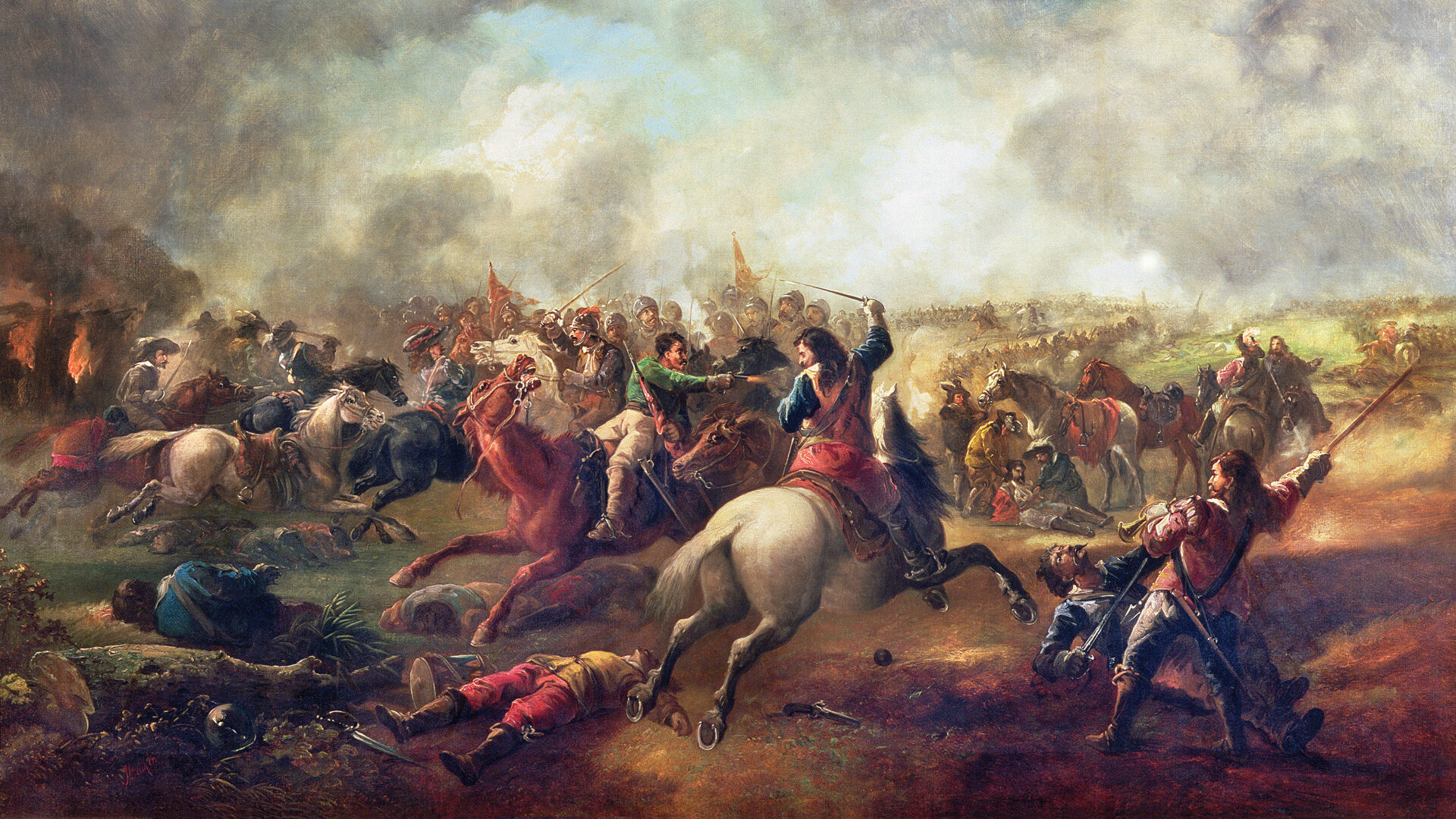
Battle of Marston Moor
The Battle of Marston Moor was fought on 2 July 1644, during the Wars of the Three Kingdoms of 1639–1653. The combined forces of the English Parliamentarians...
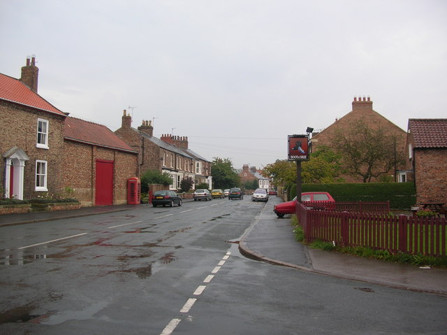
Bilton-in-Ainsty
Bilton-in-Ainsty is a village in the civil parish of Bilton-in-Ainsty with Bickerton, in North Yorkshire, England. It lies about 4 miles (6 km) east of...
Tockwith
Tockwith is a village and civil parish in the Harrogate district of North Yorkshire, England, near the town of Wetherby and the city of York. There has...
Bilton-in-Ainsty with Bickerton
Bilton-in-Ainsty with Bickerton is a civil parish in the Harrogate district of North Yorkshire, England. According to the 2001 census it had a population...

Long Marston, North Yorkshire
Long Marston is a village and civil parish in the Harrogate district of North Yorkshire, England. Historically part of the West Riding of Yorkshire, it...

RAF Marston Moor
RAF Marston Moor was a Royal Air Force airfield at Tockwith, North Yorkshire, during the Second World War. It was originally called RAF Tockwith, but...
All Saints' Church, Long Marston
All Saints' Church is the parish church of Long Marston, a village in the Harrogate district of North Yorkshire, in England. A chapel was built at the...
Nearby Amenities
Located within 500m of 53.956594,-1.2707709Have you been to Bilton Moor?
Leave your review of Bilton Moor below (or comments, questions and feedback).