Middle Field

Downs, Moorland in Yorkshire Harrogate

England

Middle Field

Bilton Church
Bilton Church Credit: Martin Norman

Middle Field is a picturesque region located in the heart of Yorkshire, England, known for its vast expanse of rolling downs and captivating moorland. Situated between the towns of Harrogate and Skipton, this area is renowned for its stunning natural beauty and diverse landscapes.

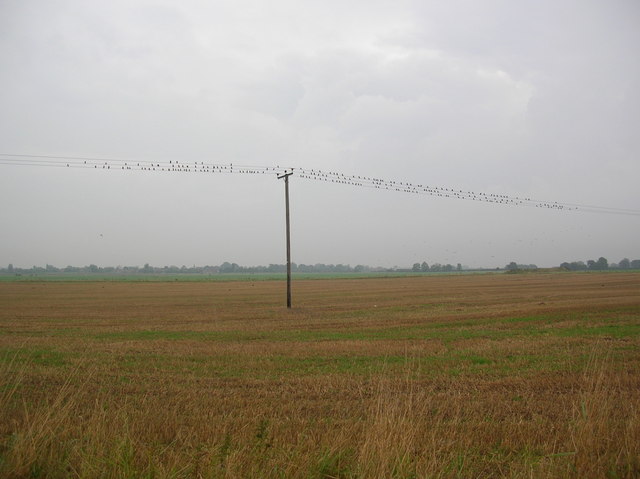
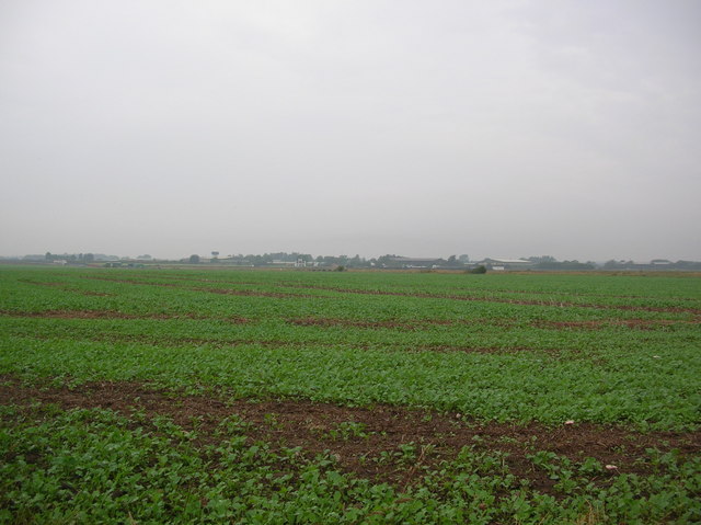
The downs of Middle Field are characterized by gently sloping hills covered in lush grasslands, creating a mesmerizing countryside vista. These downs provide an ideal habitat for a variety of flora and fauna, including wildflowers, grazing livestock, and numerous bird species. The undulating terrain of the downs offers visitors a chance to partake in outdoor activities such as hiking, cycling, and picnicking, while enjoying breathtaking panoramic views of the surrounding countryside.

In contrast, the moorland of Middle Field presents a more rugged and untamed landscape. Dominated by vast expanses of heather, bracken, and peat, these moors offer a unique and wild experience. Visitors can explore the moorland on foot, discovering hidden valleys, trickling streams, and ancient stone formations. The moorland is also home to a rich diversity of wildlife, including red grouse, curlews, and the elusive mountain hare.

Middle Field, with its combination of downs and moorland, provides a captivating blend of natural beauty and serenity. This region offers a peaceful retreat from the hustle and bustle of urban life, allowing visitors to immerse themselves in the unspoiled charm of rural Yorkshire. Whether it's a leisurely stroll through the downs or an adventurous hike across the moorland, Middle Field promises an unforgettable experience for nature enthusiasts and explorers alike.

If you have any feedback on the listing, please let us know in the comments section below.
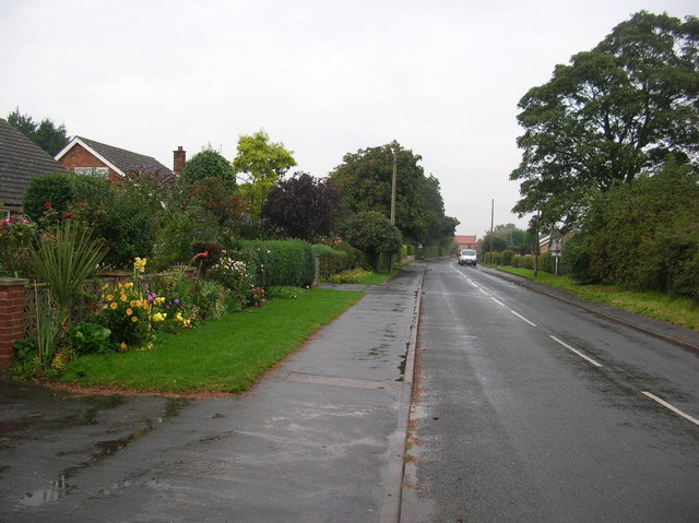
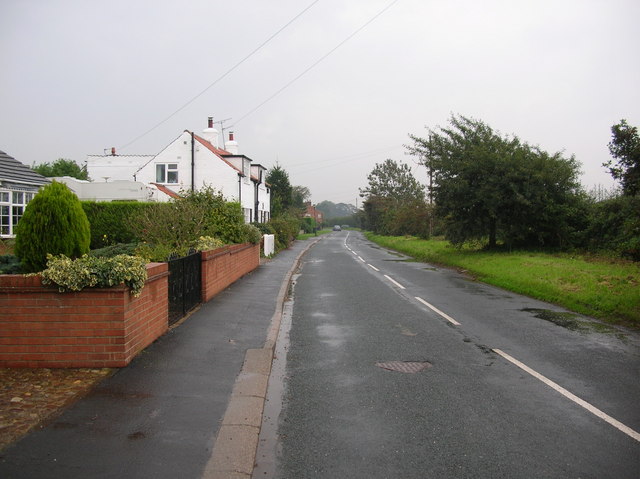
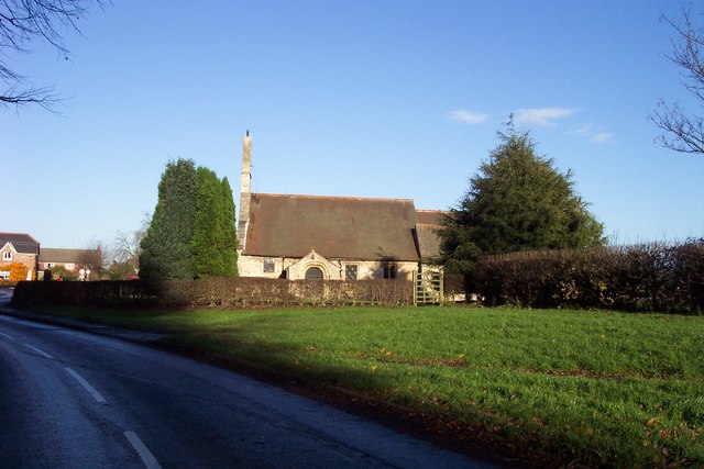
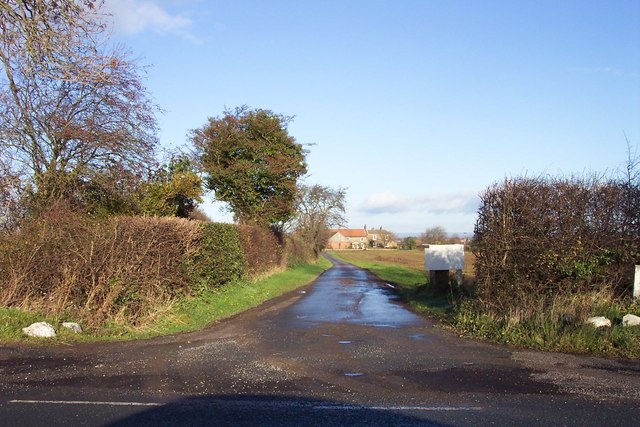
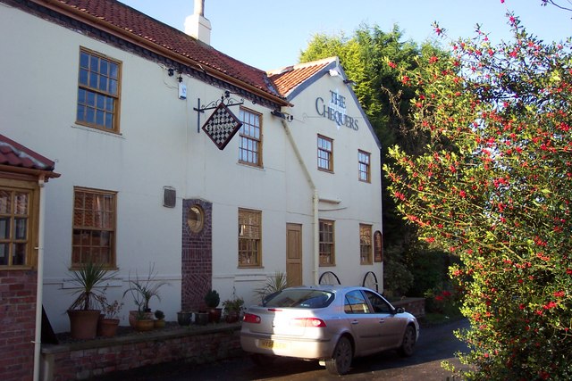
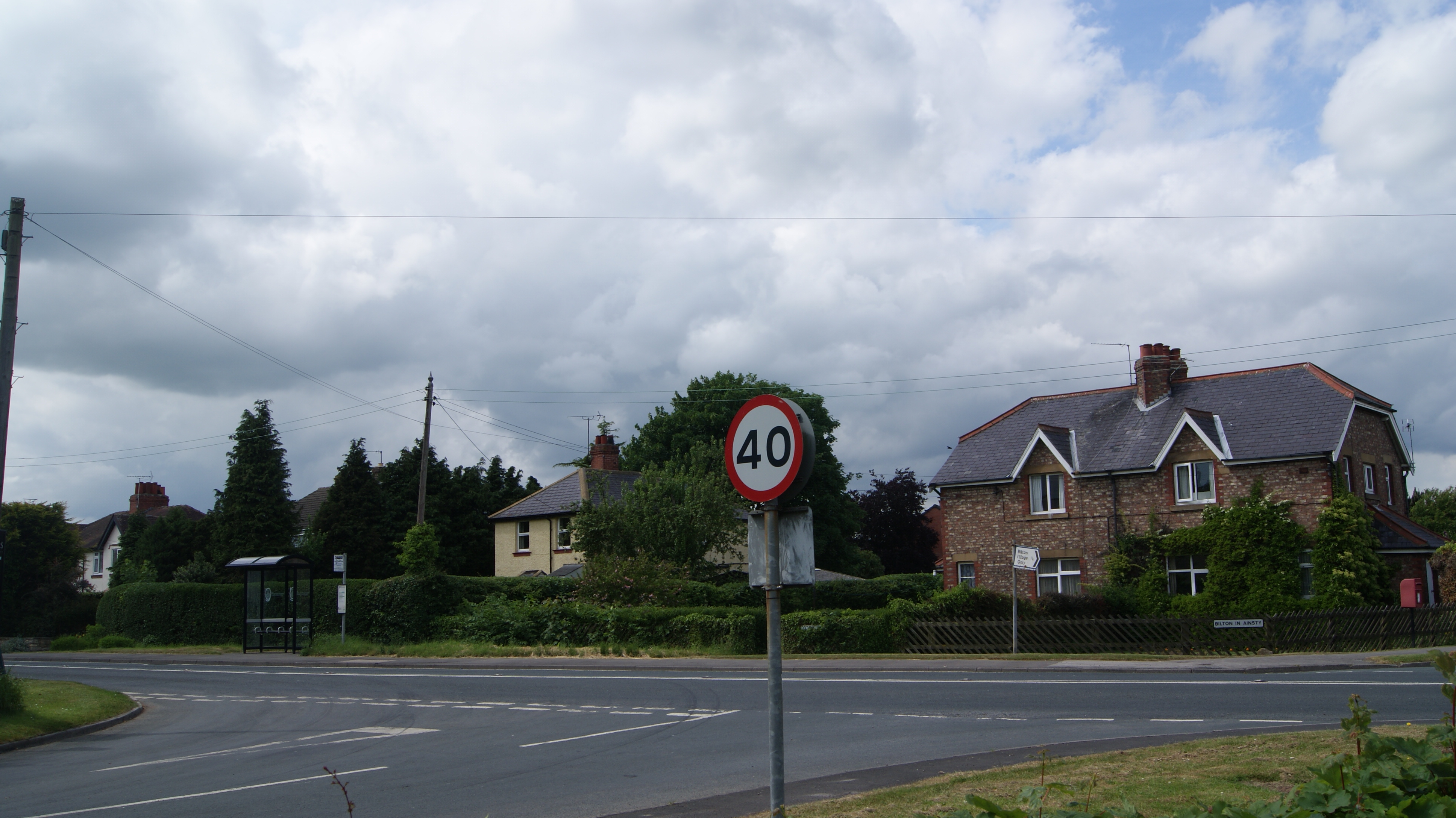
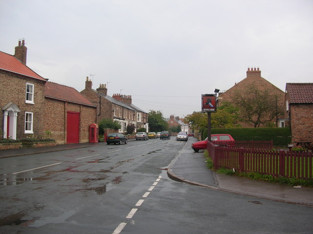
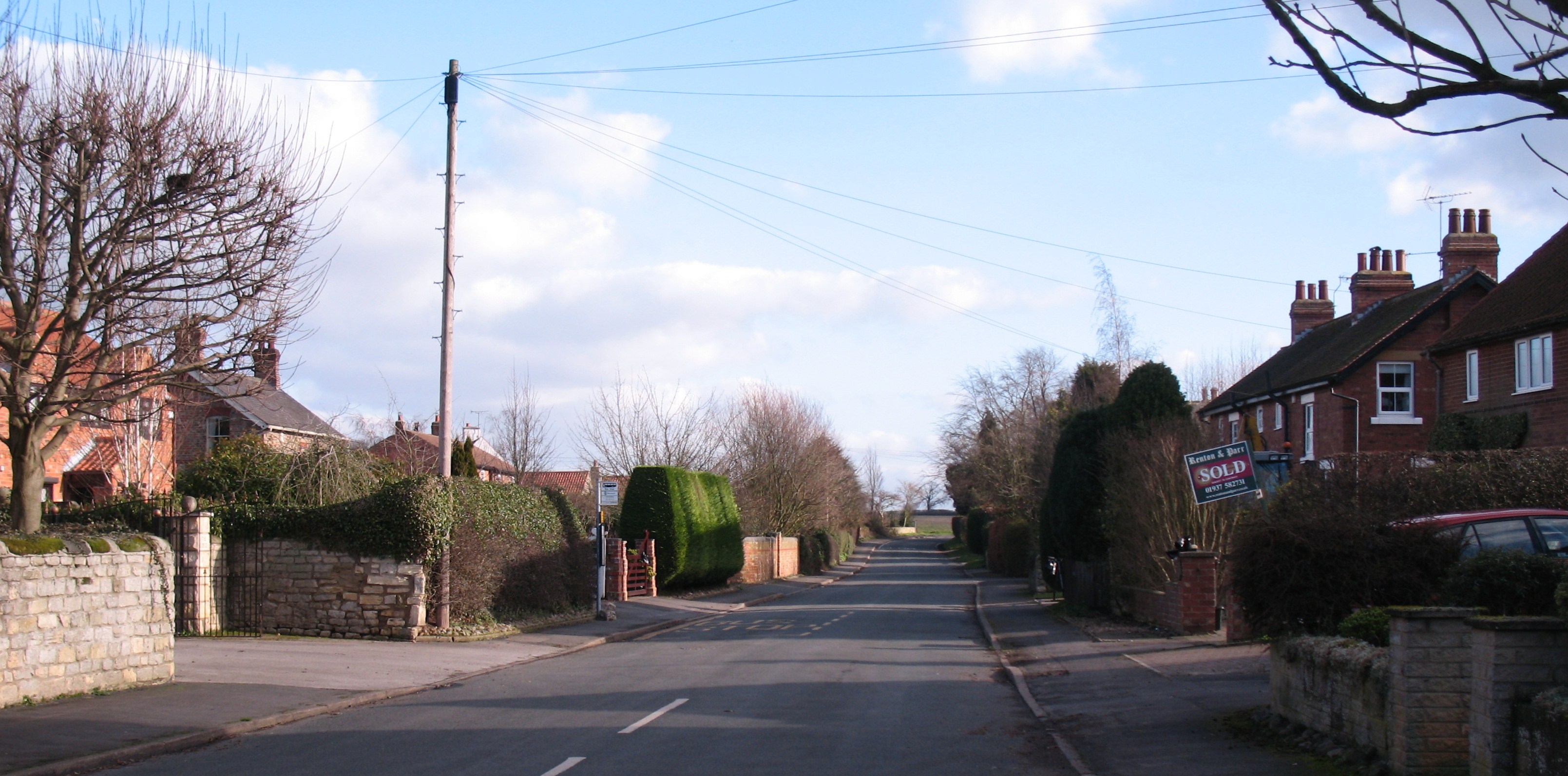
Middle Field Images

Images are sourced within 2km of 53.953267/-1.2825321 or Grid Reference SE4751. Thanks to Geograph Open Source API. All images are credited.

Bilton Church
Bilton Church
Tockwith Driver Training Centre The former Airfield is to the west of Tockwith. Since 1970 it has been used for all manner of driver training. This view is taken from the road looking south-west down the former runway.
Tockwith Driver Training Centre
The former Airfield is to the west of Tockwith. Since 1970 it has been used for all manner of driver training. This view is taken from the road looking south-west down the former runway.
Tockwith airfield Electric wires covered in birds at the edge of the former airfield at Tockwith.
Tockwith airfield
Electric wires covered in birds at the edge of the former airfield at Tockwith.
Tockwith runway The old runway at Tockwith Airfield. This area is now used as a driver training centre, and for carting.
Tockwith runway
The old runway at Tockwith Airfield. This area is now used as a driver training centre, and for carting.
Across Tockwith airfield Looking across the old airfield at Tockwith. The business park can be seen on the far side. The airfield itself is now a driver training centre.
Across Tockwith airfield
Looking across the old airfield at Tockwith. The business park can be seen on the far side. The airfield itself is now a driver training centre.
Tockwith industrial estate One of the buildings on the former airfield at Tockwith.
Tockwith industrial estate
One of the buildings on the former airfield at Tockwith.
Tockwith Lane A street of houses in the village of Tockwith.
Tockwith Lane
A street of houses in the village of Tockwith.
Tockwith The village of Tockwith. The pub on the right is the Boot & Shoe.
Tockwith
The village of Tockwith. The pub on the right is the Boot & Shoe.
Outskirts of Tockwith Leaving the village of Tockwith, heading for York.
Outskirts of Tockwith
Leaving the village of Tockwith, heading for York.
Opposite Marston Grange This land on 2nd July 1644 would have had the foot soldiers of the Parliamentarians gathered for the battle of Marston Moor that led Cromwell to victory over Prince Rupert. To the right of this picture and behind the camera would have been where Cromwell would have been along with a mounted section of Parliamentarians. The battle covered four gridsquares, those of <a href="https://www.geograph.org.uk/gridref/SE4851">SE4851</a>, <a href="https://www.geograph.org.uk/gridref/SE4852">SE4852</a>, <a href="https://www.geograph.org.uk/gridref/SE4951">SE4951</a> and <a href="https://www.geograph.org.uk/gridref/SE4952">SE4952</a> where an obelisk marks the spot.
Opposite Marston Grange
This land on 2nd July 1644 would have had the foot soldiers of the Parliamentarians gathered for the battle of Marston Moor that led Cromwell to victory over Prince Rupert. To the right of this picture and behind the camera would have been where Cromwell would have been along with a mounted section of Parliamentarians. The battle covered four gridsquares, those of SE4851, SE4852, SE4951 and SE4952 where an obelisk marks the spot.
Royalist Lines This land on 2nd July 1644 would have had the foot soldiers of the Royalists gathered for the battle of Marston Moor that led Cromwell to victory over Prince Rupert. The battle covered four gridsquares, those of <a href="https://www.geograph.org.uk/gridref/SE4851">SE4851</a>, <a href="https://www.geograph.org.uk/gridref/SE4852">SE4852</a>, <a href="https://www.geograph.org.uk/gridref/SE4951">SE4951</a> and <a href="https://www.geograph.org.uk/gridref/SE4952">SE4952</a> where an obelisk marks the spot.
Royalist Lines
This land on 2nd July 1644 would have had the foot soldiers of the Royalists gathered for the battle of Marston Moor that led Cromwell to victory over Prince Rupert. The battle covered four gridsquares, those of SE4851, SE4852, SE4951 and SE4952 where an obelisk marks the spot.
Lane to Marston Grange
Encore Direct Plc This company undertakes high-tech printing operations.
Encore Direct Plc
This company undertakes high-tech printing operations.
Parish Church of Bilton-In-Ainsty The church dedicated to St Helen contains ancient stone carvings known as Sheela-na-gigs.
Parish Church of Bilton-In-Ainsty
The church dedicated to St Helen contains ancient stone carvings known as Sheela-na-gigs.
West Grange Looking north from the B1224 York to Wetherby road.
West Grange
Looking north from the B1224 York to Wetherby road.
J Revis & Sons Transport and warehousing company.
J Revis & Sons
Transport and warehousing company.
MWS Joinery Part of Horbury Group, which are involved in building products.
MWS Joinery
Part of Horbury Group, which are involved in building products.
Entrance to Bilton Grange
Show me another place!

Middle Field is located at Grid Ref: SE4751 (Lat: 53.953267, Lng: -1.2825321)

Division: West Riding

Administrative County: North Yorkshire

District: Harrogate

Police Authority: North Yorkshire

What 3 Words

///repayment.limits.destined. Near Walton, West Yorkshire

Nearby Locations

Bilton Moor Middle Field

Related Wikis

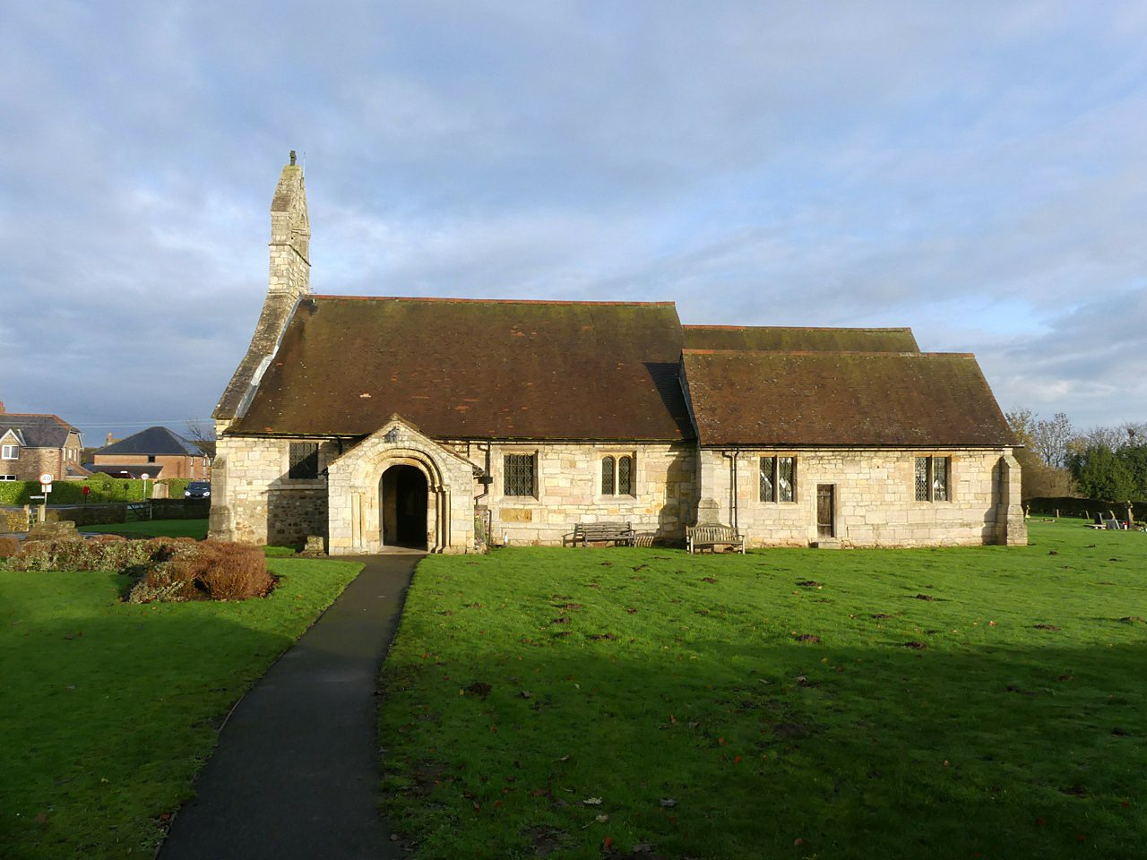
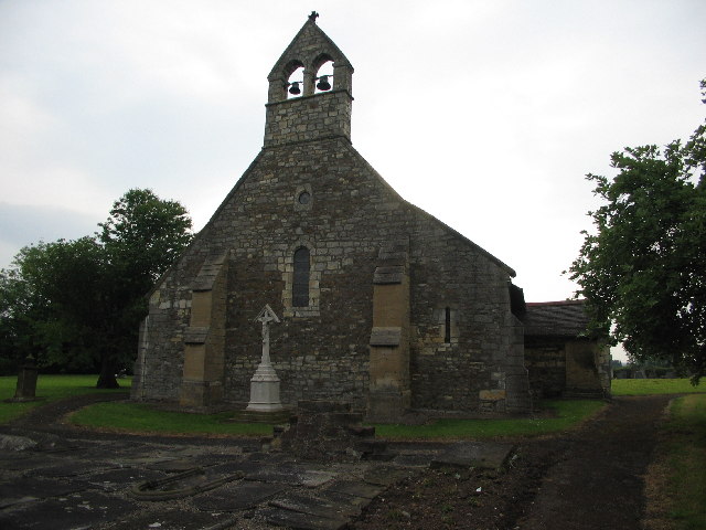
St Helen's Church, Bilton-in-Ainsty

St Helen's Church is the parish church of Bilton-in-Ainsty, a village west of York in North Yorkshire, in England. Although no church in the village is...

Bilton-in-Ainsty

Bilton-in-Ainsty is a village in the civil parish of Bilton-in-Ainsty with Bickerton, in North Yorkshire, England. It lies about 4 miles (6 km) east of...

Bilton-in-Ainsty with Bickerton

Bilton-in-Ainsty with Bickerton is a civil parish in the Harrogate district of North Yorkshire, England. According to the 2001 census it had a population...

Tockwith

Tockwith is a village and civil parish in the Harrogate district of North Yorkshire, England, near the town of Wetherby and the city of York. There has...

RAF Marston Moor

RAF Marston Moor was a Royal Air Force airfield at Tockwith, North Yorkshire, during the Second World War. It was originally called RAF Tockwith, but...

Bickerton, North Yorkshire

Bickerton is a village on the B1224 road, in the civil parish of Bilton-in-Ainsty with Bickerton, in North Yorkshire, England. The nearest town is Wetherby...

Battle of Marston Moor

The Battle of Marston Moor was fought on 2 July 1644, during the Wars of the Three Kingdoms of 1639–1653. The combined forces of the English Parliamentarians...

Syningthwaite Priory

Syningthwaite Priory was a priory in West Yorkshire, England. Syningthwaite is the site of the Cistercian convent of St Mary, founded c. 1150–1160 by Bertram...

Nearby Amenities

Located within 500m of 53.953267,-1.2825321
The data included in this document is from www.openstreetmap.org. The data is made available under ODbL.

Have you been to Middle Field?

Leave your review of Middle Field below (or comments, questions and feedback).