Bury Down
Downs, Moorland in Berkshire
England
Bury Down
Bury Down is a picturesque area located in Berkshire, England. It is situated in the southern part of the county, near the town of Lambourn. Bury Down is part of the Berkshire Downs, a range of chalk hills that stretch across the region.
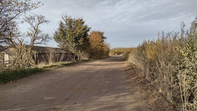
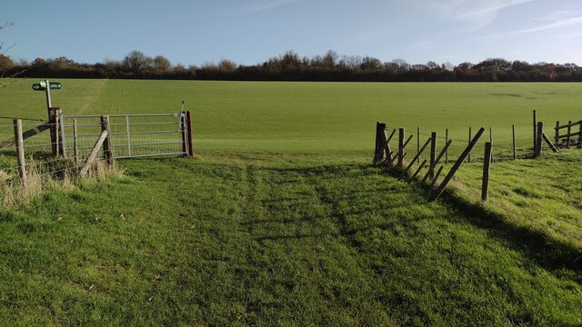
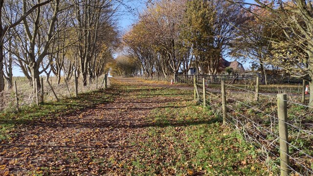
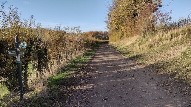
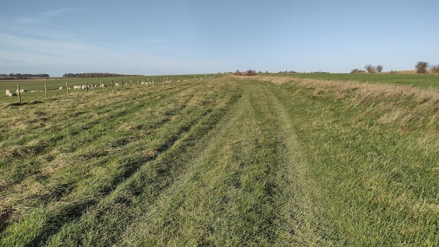
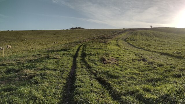
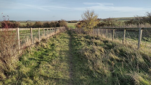
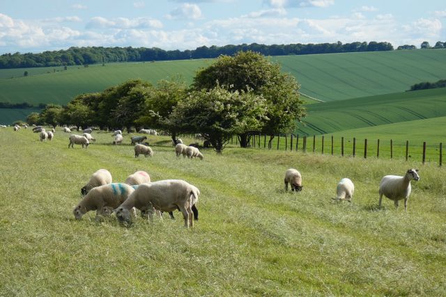
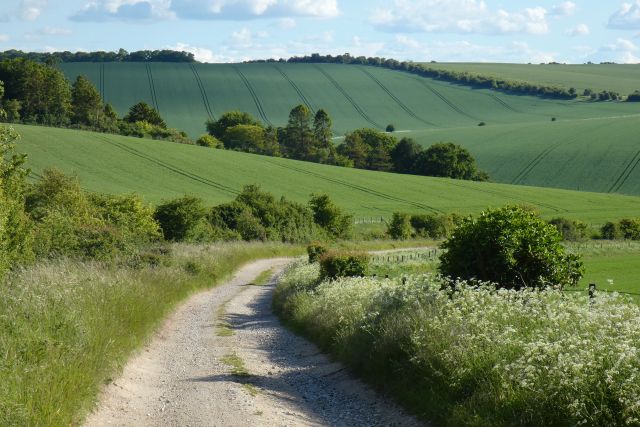
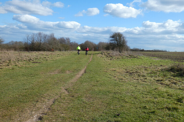
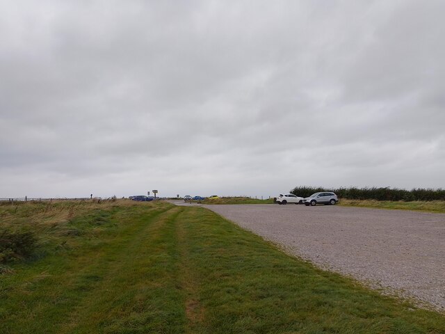
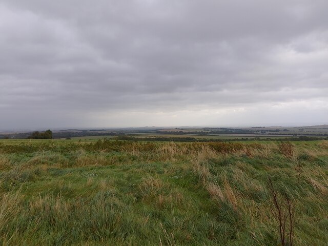
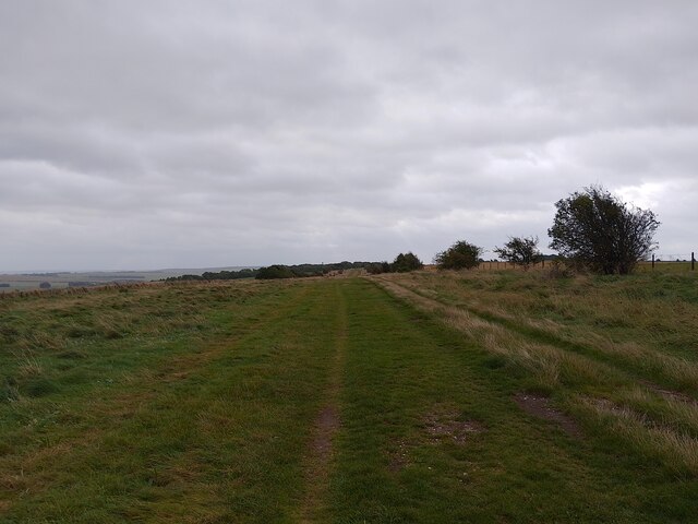
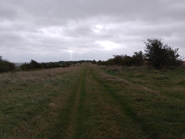
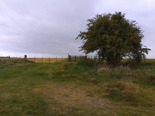
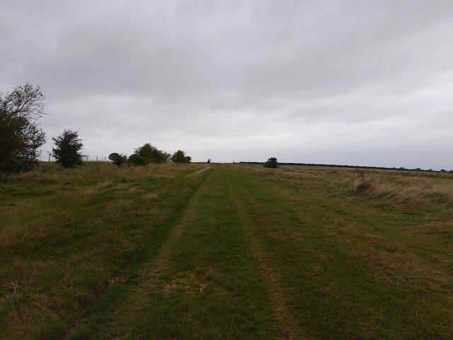
The landscape of Bury Down is characterized by rolling hills and vast stretches of moorland. The area is renowned for its natural beauty and is a popular destination for outdoor enthusiasts and nature lovers. The Downs offer stunning panoramic views of the surrounding countryside, making it an ideal spot for hiking, walking, and picnicking.
The moorland in Bury Down is home to a diverse range of flora and fauna. Visitors can expect to see heather, gorse, and wildflowers dotting the landscape, providing a vibrant burst of color. The area also serves as a habitat for various bird species, including skylarks, kestrels, and buzzards.
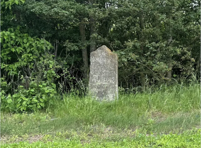
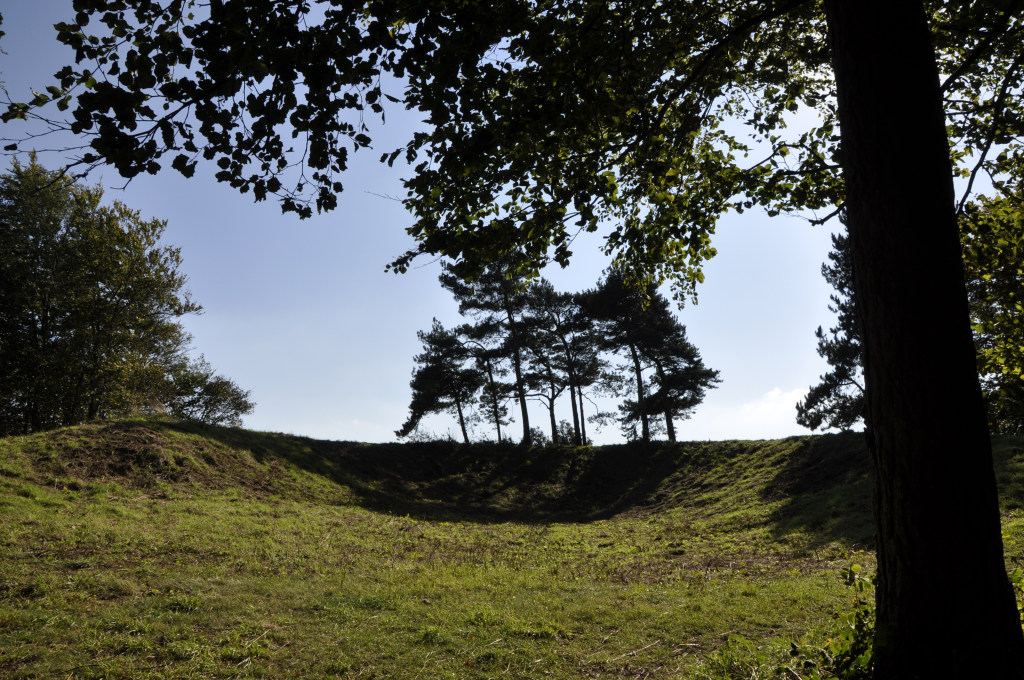
In addition to its natural beauty, Bury Down has a rich historical and archaeological significance. The area is dotted with ancient burial mounds, known as barrows, which date back to the Neolithic and Bronze Age periods. These barrows offer a glimpse into the region's ancient past and are a testament to the early human settlements that once existed in the area.
Overall, Bury Down in Berkshire offers both natural beauty and historical intrigue. Whether you are looking to immerse yourself in nature or explore the area's ancient history, Bury Down is a must-visit destination in the county.
If you have any feedback on the listing, please let us know in the comments section below.
Bury Down Images
Images are sourced within 2km of 51.550198/-1.3210323 or Grid Reference SU4783. Thanks to Geograph Open Source API. All images are credited.
Bury Down is located at Grid Ref: SU4783 (Lat: 51.550198, Lng: -1.3210323)
Unitary Authority: West Berkshire
Police Authority: Thames Valley
What 3 Words
///spilled.tucked.stormed. Near West Ilsley, Berkshire
Nearby Locations
Related Wikis
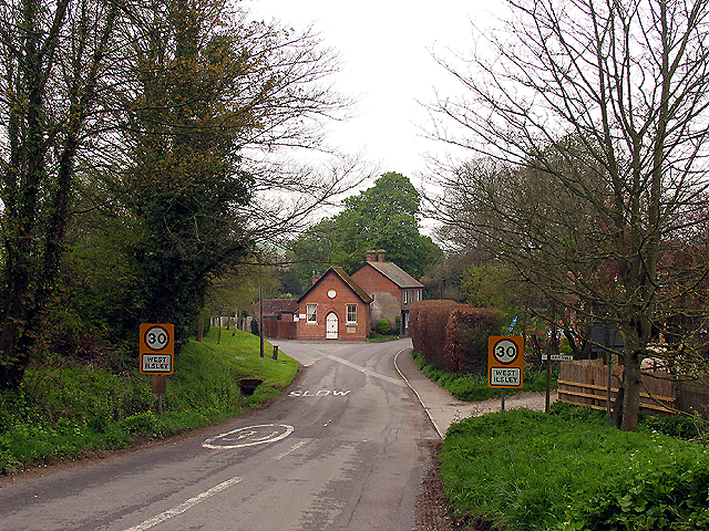
West Ilsley
West Ilsley is a village and civil parish in Berkshire, England. The population of the village at the 2011 Census was 332. == Location and amenities... ==
Scutchamer Knob
Scutchamer Knob, also known as Cuckhamsley Hill and occasionally as Scotsman's Knob or Beacon Hill, is an early Iron Age round barrow on the Ridgeway National...

DIDO (nuclear reactor)
DIDO was a materials testing nuclear reactor at the Atomic Energy Research Establishment at Harwell, Oxfordshire in the United Kingdom. It used enriched...
PLUTO reactor
PLUTO was a materials testing nuclear reactor housed at the Atomic Energy Research Establishment, a former Royal Air Force airfield at Harwell, Oxfordshire...
KARMEN
KARMEN (KArlsruhe Rutherford Medium Energy Neutrino experiment), a detector associated with the ISIS synchrotron at the Rutherford Appleton Laboratory...
ENGIN-X
ENGIN-X is the dedicated materials engineering beamline at the ISIS Neutron and Muon Source in the UK. The beamline uses neutron diffraction to determine...

ISIS Neutron and Muon Source
The ISIS Neutron and Muon Source is a pulsed neutron and muon source, established 1984 at the Rutherford Appleton Laboratory of the Science and Technology...

The Ridgeway
The Ridgeway is a ridgeway or ancient trackway described as Britain's oldest road. The section clearly identified as an ancient trackway extends from Wiltshire...
Have you been to Bury Down?
Leave your review of Bury Down below (or comments, questions and feedback).