West Field
Downs, Moorland in Yorkshire Hambleton
England
West Field
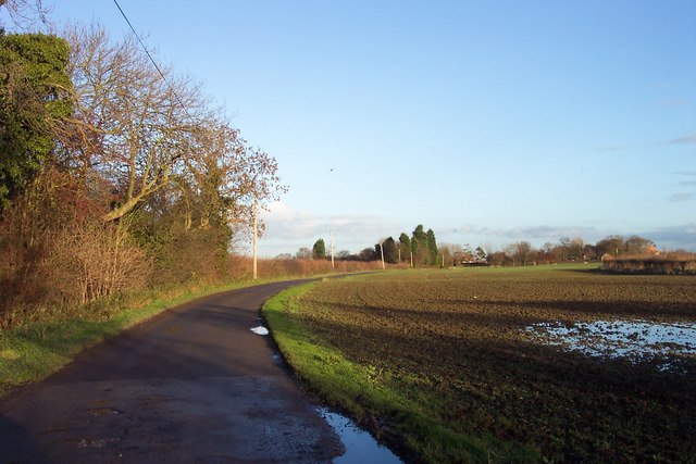
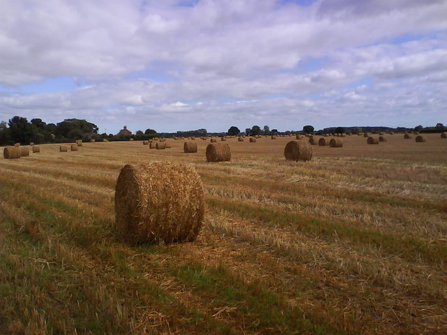
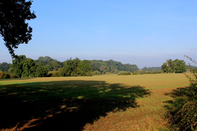
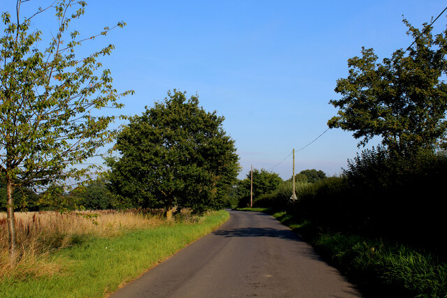
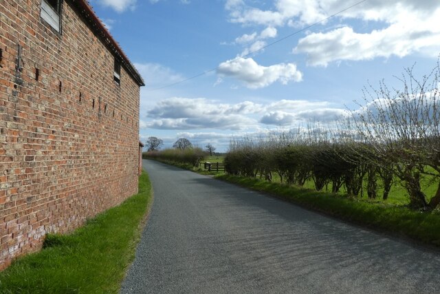
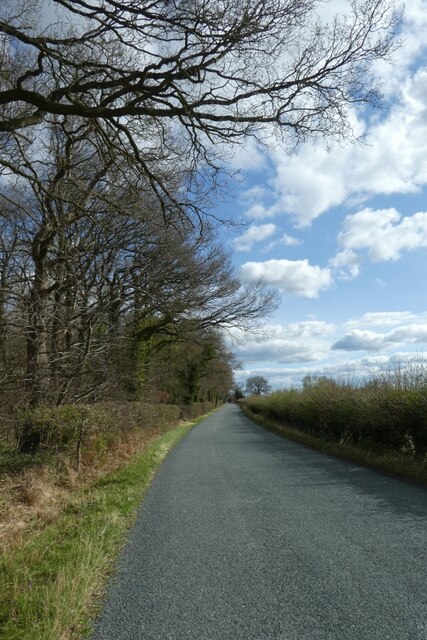
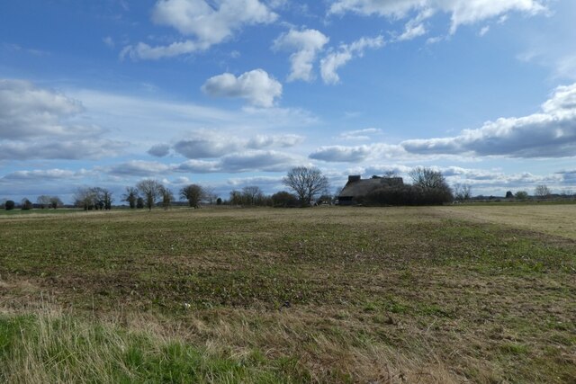
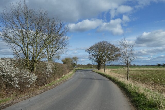
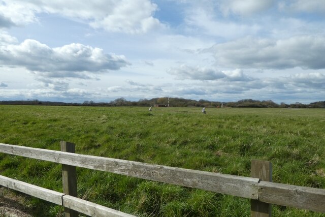
West Field, Yorkshire, is a picturesque region located in the northeastern part of England. It is characterized by its diverse landscapes, comprising both downs and moorland. The area is renowned for its natural beauty, attracting visitors from far and wide.
The downs in West Field offer sprawling grasslands with gentle slopes, creating an idyllic setting for leisurely walks and picnics. The lush greenery and panoramic views make it a popular spot for outdoor activities such as hiking, kite flying, and horseback riding. The downs are also home to a variety of wildlife, including rabbits, foxes, and various bird species, making it a haven for nature enthusiasts.
In contrast, the moorland of West Field provides a rugged and untamed terrain. Here, visitors can immerse themselves in vast expanses of heather-covered hills, dotted with rocky outcrops. The moorland offers a sense of tranquility and solitude, with its peaceful atmosphere broken only by the distant calls of birds and the rustling of heather in the wind. It is a paradise for hikers and photographers, who can capture the dramatic beauty of the landscape.
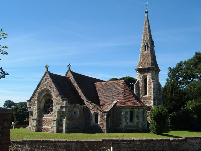
West Field, Yorkshire, is not only a haven for nature lovers but also boasts a rich cultural heritage. The region is dotted with charming villages and historic landmarks, providing a glimpse into the area's past. Visitors can explore ancient castles, visit traditional pubs, and indulge in local cuisine.
Overall, West Field, Yorkshire, is a captivating destination that seamlessly blends natural beauty with cultural heritage. Whether one seeks outdoor adventures or a peaceful escape, this region offers something for everyone.
If you have any feedback on the listing, please let us know in the comments section below.
West Field Images
Images are sourced within 2km of 54.044003/-1.2696697 or Grid Reference SE4761. Thanks to Geograph Open Source API. All images are credited.


West Field is located at Grid Ref: SE4761 (Lat: 54.044003, Lng: -1.2696697)
Division: North Riding
Administrative County: North Yorkshire
District: Hambleton
Police Authority: North Yorkshire
What 3 Words
///above.locals.pranced. Near Linton upon Ouse, North Yorkshire
Nearby Locations
Related Wikis
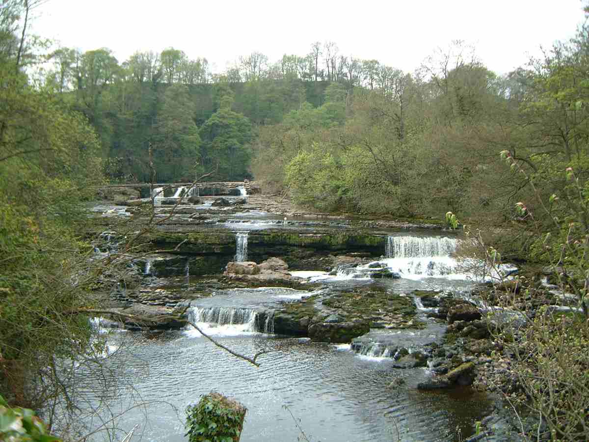
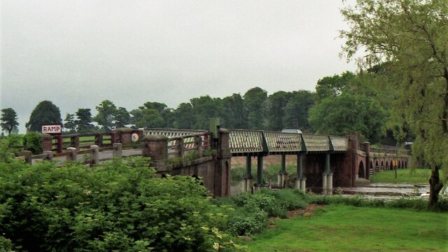
River Ure
The River Ure in North Yorkshire, England, is about 74 miles (119 km) long from its source to the point where it becomes the River Ouse. It is the principal...

RAF Linton-on-Ouse
Royal Air Force Linton-on-Ouse or more simply RAF Linton-on-Ouse (IATA: HRT, ICAO: EGXU) is a former Royal Air Force station at Linton-on-Ouse in North...

Linton-on-Ouse
Linton-on-Ouse is a village and civil parish in the Hambleton District of North Yorkshire, England, about eight miles north-west of York. It lies on the...

No. 1 Flying Training School RAF
The No. 1 Flying Training School (1 FTS) is the oldest military pilot training school in the world, currently used to deliver rotary training to aircrew...

Thorpe Underwood, North Yorkshire
Thorpe Underwood is a settlement and (as Thorpe Underwoods) a civil parish about 10 miles (16 km) north of York, in the former Harrogate district of North...

Queen Ethelburga's Collegiate
Queen Ethelburga's Collegiate incorporates four boarding and day schools for girls and boys from 3 months to 19 years old, located in Thorpe Underwood...

Youlton
Youlton is a village and civil parish in Hambleton District of North Yorkshire, England. It is situated approximately 5 miles (8 km) south-west of Easingwold...
Aldwark, Hambleton
Aldwark is a village and civil parish in the Hambleton District of North Yorkshire, England. It is situated on the River Ouse about 14 miles from York...
Nearby Amenities
Located within 500m of 54.044003,-1.2696697Have you been to West Field?
Leave your review of West Field below (or comments, questions and feedback).