Cossall Common

Downs, Moorland in Nottinghamshire Broxtowe

England

Cossall Common

Park Cemetery, Ilkeston A view towards the main entrance to the cemetery
Park Cemetery, Ilkeston Credit: Francis Dolman

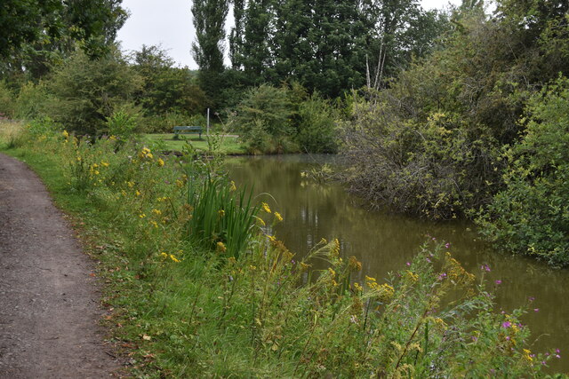
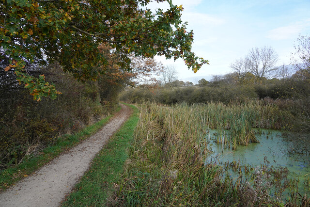
Cossall Common is a picturesque area located in Nottinghamshire, England. Situated in the district of Broxtowe, this beautiful common is known for its diverse landscape consisting of downs and moorland. Spanning approximately 500 acres, it offers a tranquil and serene environment for visitors to explore and enjoy.

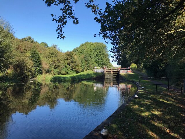
The common is characterized by its rolling hills, offering stunning panoramic views of the surrounding countryside. The downs are covered in lush green grass, which provides excellent grazing grounds for livestock and attracts a variety of wildlife. Visitors can often spot rabbits, hares, and various bird species as they wander through the common.

The moorland areas of Cossall Common are equally as captivating. Here, visitors can find heather and gorse, which add a burst of color to the landscape. The moorland is interspersed with patches of marshy ground, creating a unique and diverse habitat for various plants and animals.

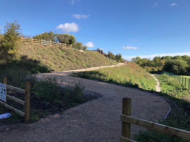
The common is a popular destination for nature enthusiasts, walkers, and picnickers alike, offering a peaceful retreat from the hustle and bustle of everyday life. There are several footpaths and trails that crisscross the common, allowing visitors to explore its beauty at their own pace.

Cossall Common is not only a haven for nature lovers but also holds historical significance. The area has ancient origins and is believed to have been an important site during prehistoric times. The remains of a Roman road can also be found nearby, adding to the area's historical charm.

Overall, Cossall Common is a hidden gem in Nottinghamshire, offering a unique blend of downs and moorland, stunning vistas, and a rich history.

If you have any feedback on the listing, please let us know in the comments section below.

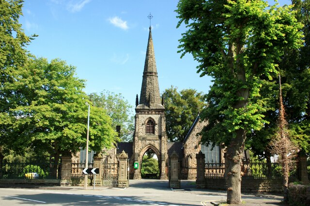
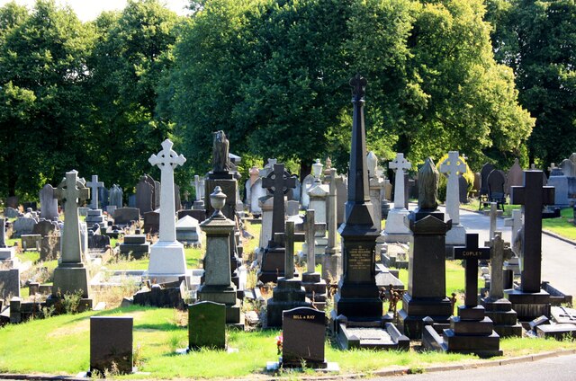
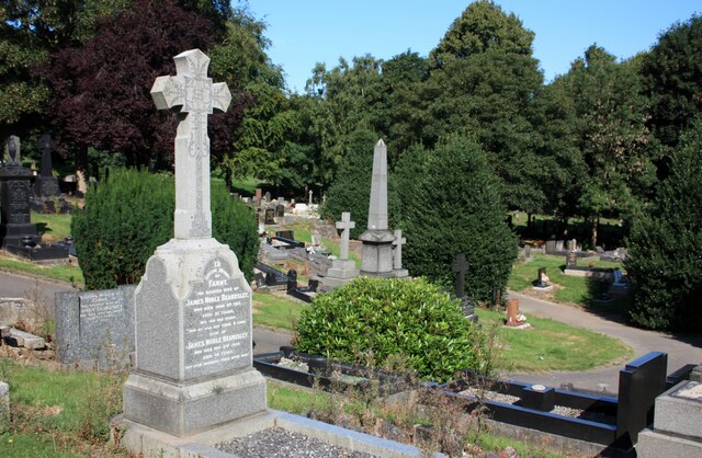
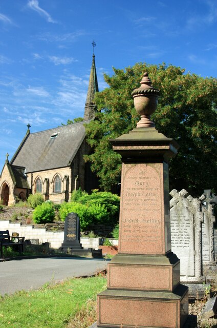
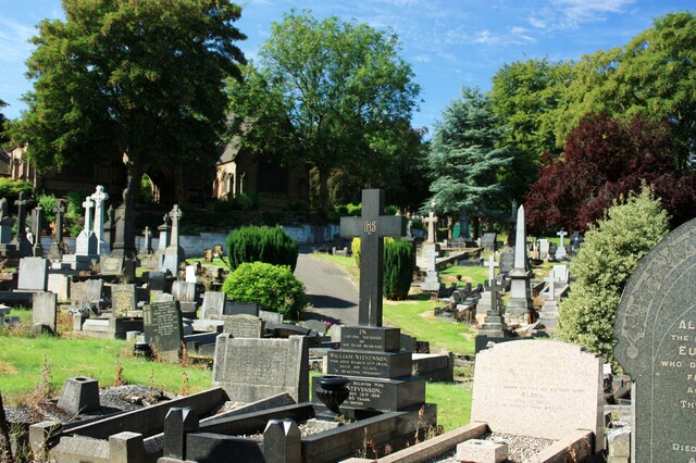
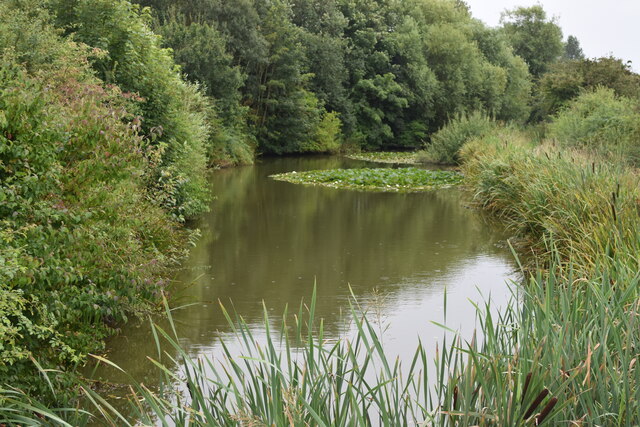
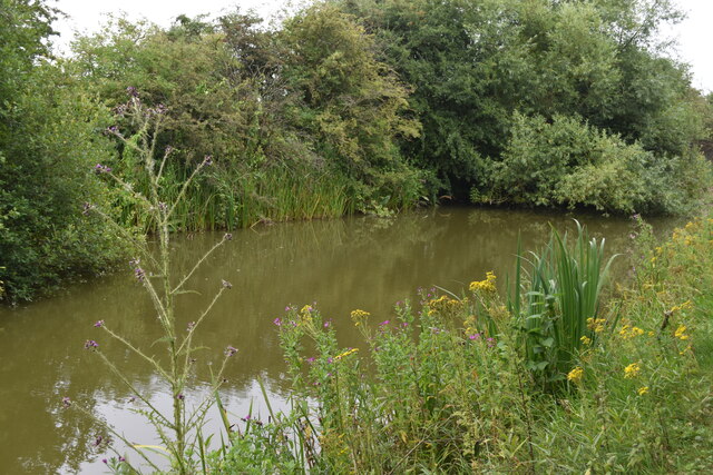
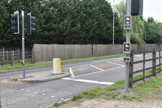
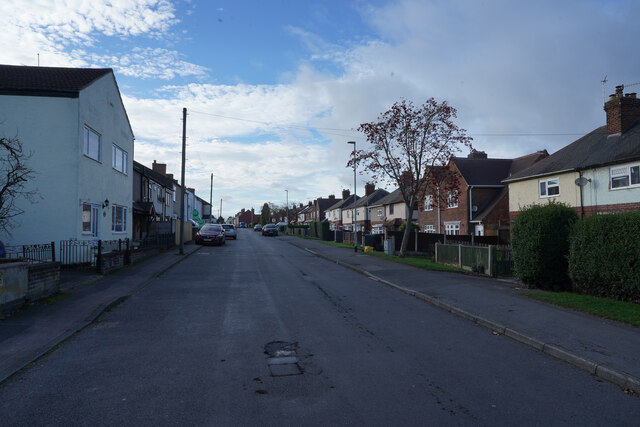
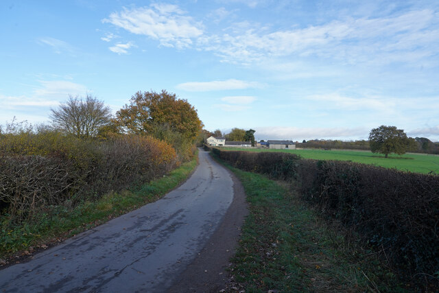
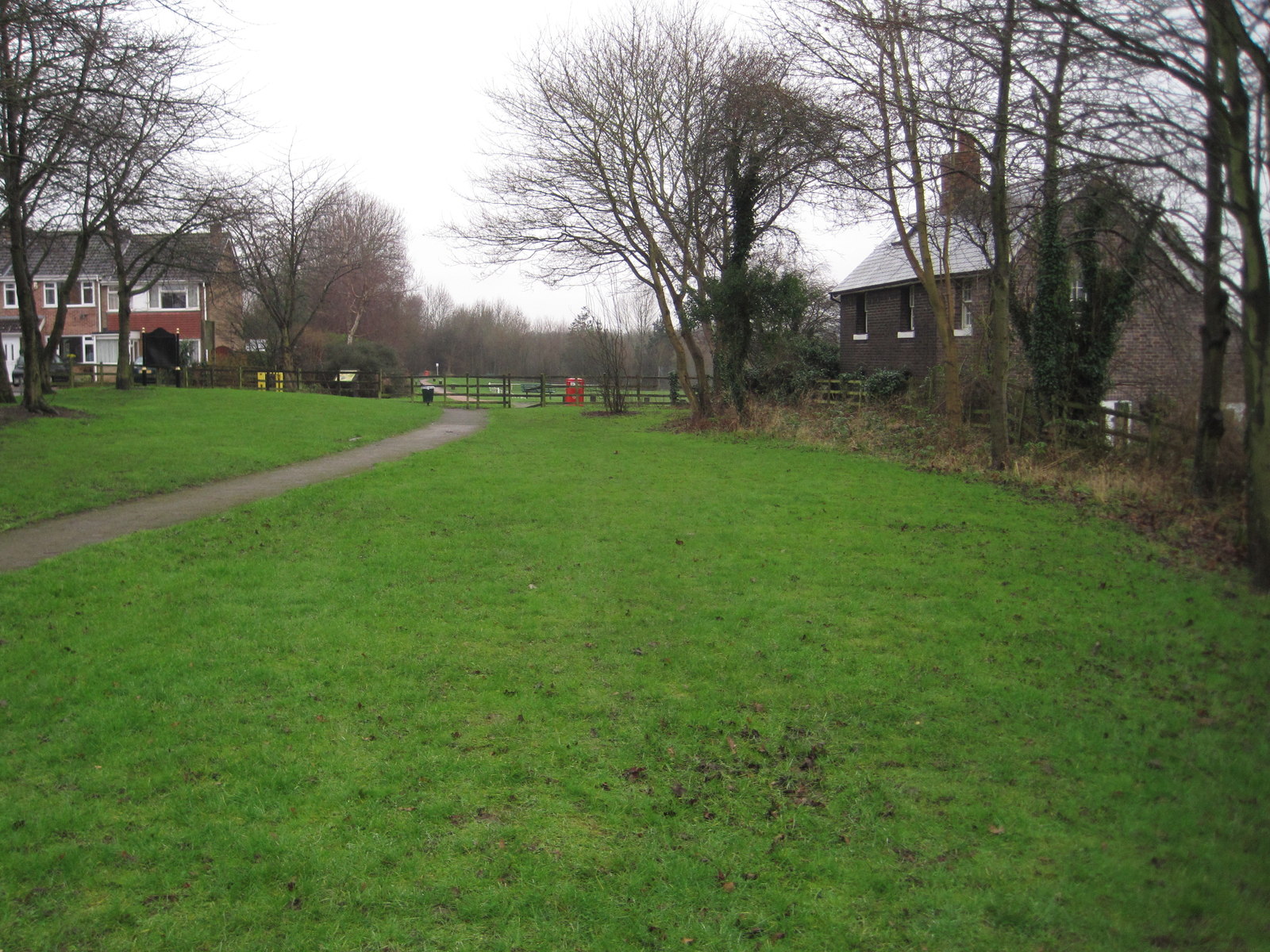
Cossall Common Images

Images are sourced within 2km of 52.984168/-1.2877523 or Grid Reference SK4743. Thanks to Geograph Open Source API. All images are credited.

Park Cemetery, Ilkeston A view towards the main entrance to the cemetery
Park Cemetery, Ilkeston
A view towards the main entrance to the cemetery
Park Cemetery, Ilkeston
Nottingham Canal near Cossall Common
Nottingham Canal near Cossall Marsh
Pegasus Crossing on Shilo Way A dedicated road crossing for horse riders, complete with high-level push buttons to avoid the need to dismount.
Pegasus Crossing on Shilo Way
A dedicated road crossing for horse riders, complete with high-level push buttons to avoid the need to dismount.
Nottingham Canal near Cossall Marsh Here, looking towards a small side branch. There is a low-level wooden footbridge just out of sight to the left.
Nottingham Canal near Cossall Marsh
Here, looking towards a small side branch. There is a low-level wooden footbridge just out of sight to the left.
New ramps to Bennerley Viaduct Park of a major refurbishment of the viaduct as a walking and cycling route.
New ramps to Bennerley Viaduct
Park of a major refurbishment of the viaduct as a walking and cycling route.
Stenson's Lock
Stenson's Lock
The Rutland Cottage
The Rutland Cottage
The Erewash Valley Trail The canal to the right which is almost completely overgrown is what remains of the Nottingham Canal.
The Erewash Valley Trail
The canal to the right which is almost completely overgrown is what remains of the Nottingham Canal.
Church Lane Church Lane as it goes through Cossall is a very twisty road and the road works on it do not help traffic flow.
Church Lane
Church Lane as it goes through Cossall is a very twisty road and the road works on it do not help traffic flow.
Coronation Road To the left are industrial buildings, to the right are some houses and fields.
Coronation Road
To the left are industrial buildings, to the right are some houses and fields.
Awsworth Lane Awsworth Lane at this point is just on the edge of the village of the same name.
Awsworth Lane
Awsworth Lane at this point is just on the edge of the village of the same name.
Station Road Though it is called Station Road there does not appear to be any station nearby.
Station Road
Though it is called Station Road there does not appear to be any station nearby.
Robinettes Lane Robinettes Lane is a cul-de-sac lane leading to a farm.
Robinettes Lane
Robinettes Lane is a cul-de-sac lane leading to a farm.
Show me another place!

Cossall Common is located at Grid Ref: SK4743 (Lat: 52.984168, Lng: -1.2877523)

Administrative County: Nottinghamshire

District: Broxtowe

Police Authority: Nottinghamshire

What 3 Words

///point.news.fuel. Near Awsworth, Nottinghamshire

Nearby Locations

Cossall Common

Related Wikis

Giltbrook Viaduct

Giltbrook Viaduct was a railway viaduct built in the Erewash Valley between Awsworth and Giltbrook in Nottinghamshire. It was demolished in 1973 to make...

Ilkeston railway station

Ilkeston railway station serves the town of Ilkeston, Derbyshire, England. It is located at the site of the former Ilkeston Junction and Cossall station...

Ilkeston Junction and Cossall railway station

Ilkeston Junction and Cossall railway station was a railway station which served the town of Ilkeston in Derbyshire, England. == History == It was opened...

Ilkeston F.C.

Ilkeston Football Club was an English semi-professional football club based at the New Manor Ground in Ilkeston, Derbyshire, England. == History == The...

Ilkeston Town F.C.

Ilkeston Town Football Club is a football club based in Ilkeston, Derbyshire, England. They currently play in the Northern Premier League Premier Division...

Bennerley Viaduct

Bennerley Viaduct (originally Ilkeston Viaduct and known informally as the Iron Giant) is a former railway bridge, now a foot and cycle bridge, between...

Awsworth railway station

Awsworth railway station was a former railway station in Awsworth, Nottinghamshire. It was opened by the Great Northern Railway on its Derbyshire and Staffordshire...

Awsworth

Awsworth is a village and civil parish in the Borough of Broxtowe, Nottinghamshire, England. Its population of 2,577 in the 2001 Census and 2,517 in that...
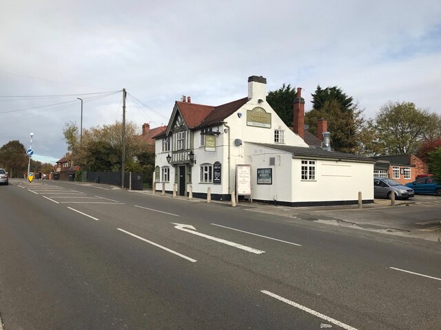
Nearby Amenities

Located within 500m of 52.984168,-1.2877523
Bus Stop
Church Lane
Bus: yes
Naptan AtcoCode: 3300BR0221
Naptan Bearing: SW
Naptan CommonName: Church Lane
Naptan Crossing: Church Lane
Naptan Indicator: adj
Naptan NaptanCode: ntsdpwdw
Naptan Notes: none
Naptan Street: Awsworth Lane
Naptan Verified: yes
Public Transport: platform
Shelter: yes
Source: naptan_import
Lat/Long: 52.9808305/-1.2864133
Bus Stop
Church Lane
Bus: yes
Naptan AtcoCode: 3300BR0222
Naptan Bearing: NE
Naptan CommonName: Church Lane
Naptan Crossing: Church Lane
Naptan Indicator: opp
Naptan NaptanCode: ntsdpwga
Naptan Notes: none
Naptan Street: Awsworth Lane
Naptan Verified: yes
Public Transport: platform
Shelter: yes
Source: naptan_import
Lat/Long: 52.9813393/-1.2858091
Bus Stop
Awsworth Lane
Both Ways: yes
Bus: yes
Naptan AtcoCode: 3300BR0223
Naptan Bearing: S
Naptan CommonName: Awsworth Lane
Naptan Indicator: opp 29
Naptan NaptanCode: ntsdpwgd
Naptan Notes: BW--3300BR0490
Naptan Street: Awsworth Lane
Naptan Verified: yes
Public Transport: platform
Shelter: no
Source: naptan_import
Lat/Long: 52.9835941/-1.2844427
Bus Stop
Awsworth Lane
Bus: yes
Naptan AtcoCode: 3300BR0225
Naptan Bearing: S
Naptan CommonName: Awsworth Lane
Naptan Indicator: opp 93
Naptan NaptanCode: ntsawtwp
Naptan Street: Awsworth Lane
Naptan Verified: yes
Public Transport: platform
Shelter: yes
Source: naptan_import
Lat/Long: 52.9863541/-1.2840878
Bus Stop
Newtons Lane
Bus: yes
Naptan AtcoCode: 3300BR0226
Naptan Bearing: N
Naptan CommonName: Newtons Lane
Naptan Crossing: Newtons Lane
Naptan Indicator: opp
Naptan NaptanCode: ntsawtwt
Naptan Notes: none
Naptan Street: Awsworth Lane
Naptan Verified: yes
Public Transport: platform
Shelter: no
Source: naptan_import
Lat/Long: 52.9874504/-1.2840101
Bus Stop
Awsworth Lane
Bus: yes
Naptan AtcoCode: 3300BR0490
Naptan Bearing: NW
Naptan BusStopType: CUS
Naptan CommonName: Awsworth Lane
Naptan Indicator: o/s 29
Naptan NaptanCode: ntsgjpta
Naptan Notes: CUS--3300BR0223
Naptan Street: Awsworth Lane
Naptan Verified: no
Public Transport: platform
Source: naptan_import
Lat/Long: 52.9835884/-1.2846102
Barrier: cycle_barrier
Cycle Barrier: chicane
Lat/Long: 52.979749/-1.2873112
Barrier: cycle_barrier
Cycle Barrier: squeeze
Lat/Long: 52.9806888/-1.2873982
Crossing
Crossing: traffic_signals
Crossing Ref: pegasus
Horse: yes
Lat/Long: 52.9828575/-1.2905472
Post Box
Collection Times: Mo-Fr 16:00; Sa 10:30
Post Box Type: lamp
Ref: NG16 36
Royal Cypher: EIIR
Royal Cypher Wikidata: Q33102113
Lat/Long: 52.9836551/-1.2844964
Telephone
Booth: KX100
Source: survey
Lat/Long: 52.9816312/-1.2852069
Entrance: main
Lat/Long: 52.987346/-1.2835217
Turning Circle
Lat/Long: 52.9883958/-1.2866984
Post Box
Collection Times: Mo-Fr 16:00; Sa 12:00
Operator: Royal Mail
Operator Wikidata: Q638098
Post Box Type: lamp
Ref: NG16 39
Royal Cypher: EIIR
Royal Cypher Wikidata: Q33102113
Source: survey
Lat/Long: 52.987924/-1.2878432
Barrier: kissing_gate
Lat/Long: 52.985771/-1.2925938
Crossing
Crossing: uncontrolled
Crossing Ref: pegasus
Lat/Long: 52.9864927/-1.2918961
Crossing
Bicycle: yes
Crossing: unmarked
Crossing Island: yes
Kerb: lowered
Supervised: no
Tactile Paving: yes
Lat/Long: 52.9855771/-1.2914435
Barrier: kissing_gate
Lat/Long: 52.9866906/-1.2895904
Cossall Marsh
Place: neighbourhood
Source: local_knowledge
Lat/Long: 52.9818159/-1.2839734
Maxheight: 14'9"
Note: No metric height displayed
Source: survey
Lat/Long: 52.9806179/-1.2873544
Greenfingers @ Trinity Farm
Addr Postcode: NG16 2RZ
Addr Street: Awsworth Lane
Shop: florist
Source: survey
Source Addr: interpolation
Website: https://greenfingersshop.co.uk/
Lat/Long: 52.9868601/-1.2836239
Bench
Lat/Long: 52.9808388/-1.2863221
Erewash Valley Trail - Cossall - Millennium Park
Information: board
Source: survey
Tourism: information
Lat/Long: 52.9808774/-1.2862745
Speed Camera
Direction: 230
Maxspeed: 30 mph
Source: survey
Lat/Long: 52.9814715/-1.2854489
Fixme: Continues
Lat/Long: 52.9817657/-1.2838316
Speed Camera
Source: survey
Lat/Long: 52.9857588/-1.2842149
Entrance: main
Lat/Long: 52.986915/-1.2835269
Barrier: kissing_gate
Lat/Long: 52.9855943/-1.2924647
Barrier: stile
Source: survey
Step Count: 1
Stile: stepover
Lat/Long: 52.9823763/-1.282508
Barrier: kissing_gate
Lat/Long: 52.983791/-1.2870472
Barrier: kissing_gate
Source: survey
Source Position: GPS
Step Count: 2
Lat/Long: 52.9831835/-1.2872641
Fixme: continue
Lat/Long: 52.9840082/-1.287815
Barrier: kissing_gate
Lat/Long: 52.9837929/-1.2873753
Waste Basket
Lat/Long: 52.9808463/-1.2862969
Cossall Parish Council
Advertising: board
Board Type: notice
Information: board
Tourism: information
Lat/Long: 52.9808439/-1.286303
Erewash Valley Trail - Newtons Lane, Awsworth
Information: board
Source: survey
Tourism: information
Lat/Long: 52.9856149/-1.2921394
The Iron Giant of the Erewash Valley
Description: The Bennerley Viaduct
Information: board
Source: survey
Tourism: information
Lat/Long: 52.9855475/-1.2921039
Waste Basket
Lat/Long: 52.9827882/-1.2903611
Crossing
Crossing: traffic_signals
Lat/Long: 52.9828123/-1.290551
Generator Method: photovoltaic
Generator Output Electricity: yes
Generator Source: solar
Generator Type: solar_photovoltaic_panel
Location: roof
Power: generator
Lat/Long: 52.9812991/-1.28524
Generator Method: photovoltaic
Generator Output Electricity: yes
Generator Source: solar
Generator Type: solar_photovoltaic_panel
Location: roof
Power: generator
Lat/Long: 52.9812781/-1.2851595
Generator Method: photovoltaic
Generator Output Electricity: yes
Generator Source: solar
Generator Type: solar_photovoltaic_panel
Location: roof
Power: generator
Lat/Long: 52.9878228/-1.2845829
Generator Method: photovoltaic
Generator Output Electricity: yes
Generator Source: solar
Generator Type: solar_photovoltaic_panel
Location: roof
Power: generator
Lat/Long: 52.9873416/-1.2883219
Generator Method: photovoltaic
Generator Output Electricity: yes
Generator Source: solar
Generator Type: solar_photovoltaic_panel
Location: roof
Power: generator
Lat/Long: 52.9875822/-1.2881395
Direction: SSE
Generator Method: photovoltaic
Generator Output Electricity: yes
Generator Solar Modules: 15
Generator Source: solar
Generator Type: solar_photovoltaic_panel
Location: roof
Power: generator
Lat/Long: 52.9821007/-1.2854162
Generator Method: photovoltaic
Generator Output Electricity: yes
Generator Source: solar
Generator Type: solar_photovoltaic_panel
Location: roof
Power: generator
Lat/Long: 52.9814588/-1.2860814
Generator Method: photovoltaic
Generator Output Electricity: yes
Generator Source: solar
Generator Type: solar_photovoltaic_panel
Location: roof
Power: generator
Lat/Long: 52.9816255/-1.2843373
Generator Method: photovoltaic
Generator Output Electricity: yes
Generator Source: solar
Generator Type: solar_photovoltaic_panel
Location: roof
Power: generator
Lat/Long: 52.9816542/-1.2844399
Generator Method: photovoltaic
Generator Output Electricity: yes
Generator Source: solar
Generator Type: solar_photovoltaic_panel
Location: roof
Power: generator
Lat/Long: 52.9816033/-1.2845016
Generator Method: photovoltaic
Generator Output Electricity: yes
Generator Source: solar
Generator Type: solar_photovoltaic_panel
Location: roof
Power: generator
Lat/Long: 52.9815714/-1.2845016
Generator Method: photovoltaic
Generator Output Electricity: yes
Generator Source: solar
Generator Type: solar_photovoltaic_panel
Location: roof
Power: generator
Lat/Long: 52.983639/-1.2839926
Generator Method: photovoltaic
Generator Output Electricity: yes
Generator Source: solar
Generator Type: solar_photovoltaic_panel
Location: roof
Power: generator
Lat/Long: 52.9845231/-1.2843534
Generator Method: photovoltaic
Generator Output Electricity: yes
Generator Source: solar
Generator Type: solar_photovoltaic_panel
Location: roof
Power: generator
Lat/Long: 52.9844512/-1.2844124
Bicycle Parking
Capacity: 4
Covered: no
Lat/Long: 52.9856561/-1.2921461
Bench
Lat/Long: 52.9801673/-1.2862627
Bench
Lat/Long: 52.9801826/-1.2861943
Bench
Lat/Long: 52.9801774/-1.2862064
Kindergarten
Phoenix Kindergarten
Addr City: Nottingham
Addr Housename: The Old Orchard
Addr Housenumber: 83
Addr Postcode: NG16 2SA
Addr Street: Awsworth Lane
Addr Village: Cossall
Fhrs Id: 1438867
Note: Approx location, suspect is a forest school
Website: https://phoenixkindergarten.org.uk/
Lat/Long: 52.9854875/-1.284848
Newtons Lane Cossall
Material: wood
Operator: National Grid Electricity Distribution
Operator Wikidata: Q7988183
Power: pole
Ref: 870616
Transformer: yes
Voltage: 11000
Lat/Long: 52.9855741/-1.2921787
Bench
Lat/Long: 52.9878254/-1.2836838
Waste Basket
Lat/Long: 52.987697/-1.2836073
Cossall Parish Council
Board Type: notice
Information: board
Tourism: information
Lat/Long: 52.9876954/-1.2837482
Bench
Lat/Long: 52.9856262/-1.2843771
Addr Housenumber: 53
Addr Street: Awsworth Lane
Lat/Long: 52.9840014/-1.287284
Barrier: kissing_gate
Lat/Long: 52.983766/-1.2873249
The data included in this document is from www.openstreetmap.org. The data is made available under ODbL.

Have you been to Cossall Common?

Leave your review of Cossall Common below (or comments, questions and feedback).